
Leiffer and Ellsworth Loop
View Photos
Leiffer and Ellsworth Loop
Difficulty Rating:
The Leiffer and Ellsworth Loop travels through an enchanting forestland adventure that boasts amazing scenery. Enjoy the sights of the radical redwoods and lush undergrowth that adorn the terrain. This fun family adventure is a must-add to your northern California hiking itinerary.
Getting there
The trailhead is located off Walker Road.

About
| Backcountry Campground | No |
| When to do | Year-round |
| Pets allowed | No |
| Family friendly | Yes |
| Route Signage | Average |
| Crowd Levels | Moderate |
| Route Type | Lollipop |
Leiffer and Ellsworth Loop
Elevation Graph
Weather
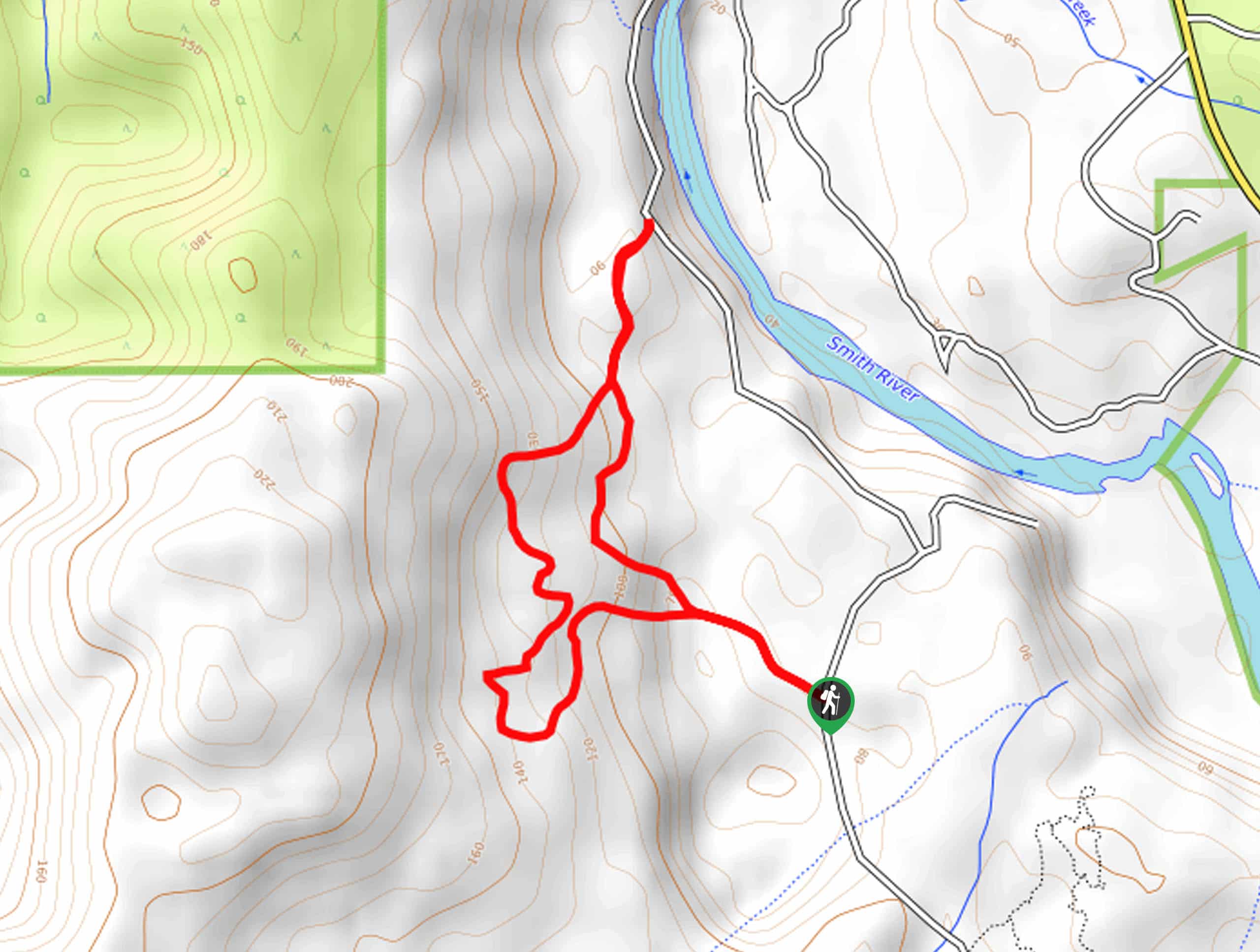
Leiffer and Ellsworth Loop Description
Hiking this route affords a whimsical experience. Explore the old-growth forest and enjoy some birdwatching along the way. Compared to most groves in the area, this route offers a more secluded adventure—enjoy the tranquility as most forestland hikes are packed! Additionally, this route is more primitive than most, so you may have to do some bushwhacking. Lastly, we encourage you to dress in layers as the coastal forest is often cloaked in fog!
Setting out from the trailhead, the Leiffer and Ellsworth Loop travels northwest to an intersection. Here, veer right, and you will be guided deep into the forestlands, among redwoods and lush vegetation. This path will gradually descend into the Smith River Valley, granting you views of the water and the perfect opportunity to birdwatch. From here, retrace your footing south, and at the first junction you reach, keep right, and you will begin a climb up a ridge.
Enjoy the magical ambiance of the forest, and the route will guide you back down the ridge to a trail fork. Here, the terrain will plateau, and you will begin retracing your footing east back to the trailhead.
Similar hikes to the Leiffer and Ellsworth Loop hike
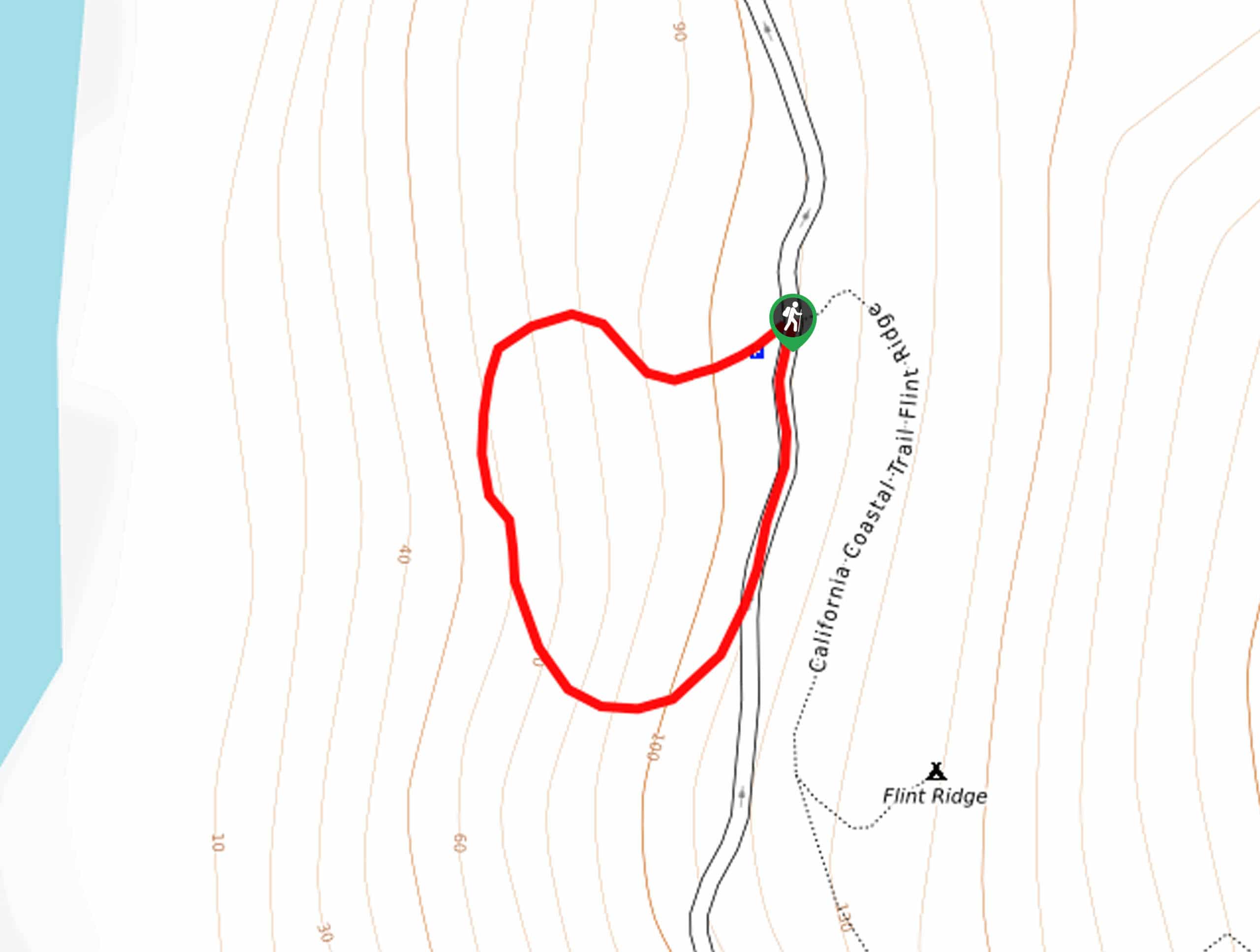
The Farm Trail
Marvel in the scenes of the Pacific whilst exploring the grounds of the WW2 buildings. Built as an unassuming radar…
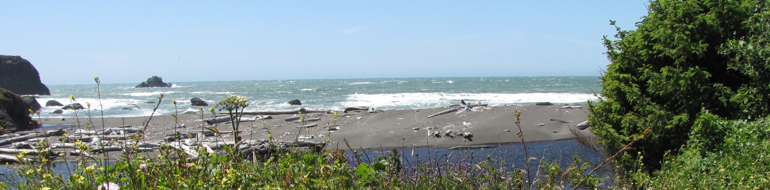
Yurok Loop Trail
Leading you through lush inland woodlands and along the rugged coast of the Pacific, the Yurok Loop Trail offers the…
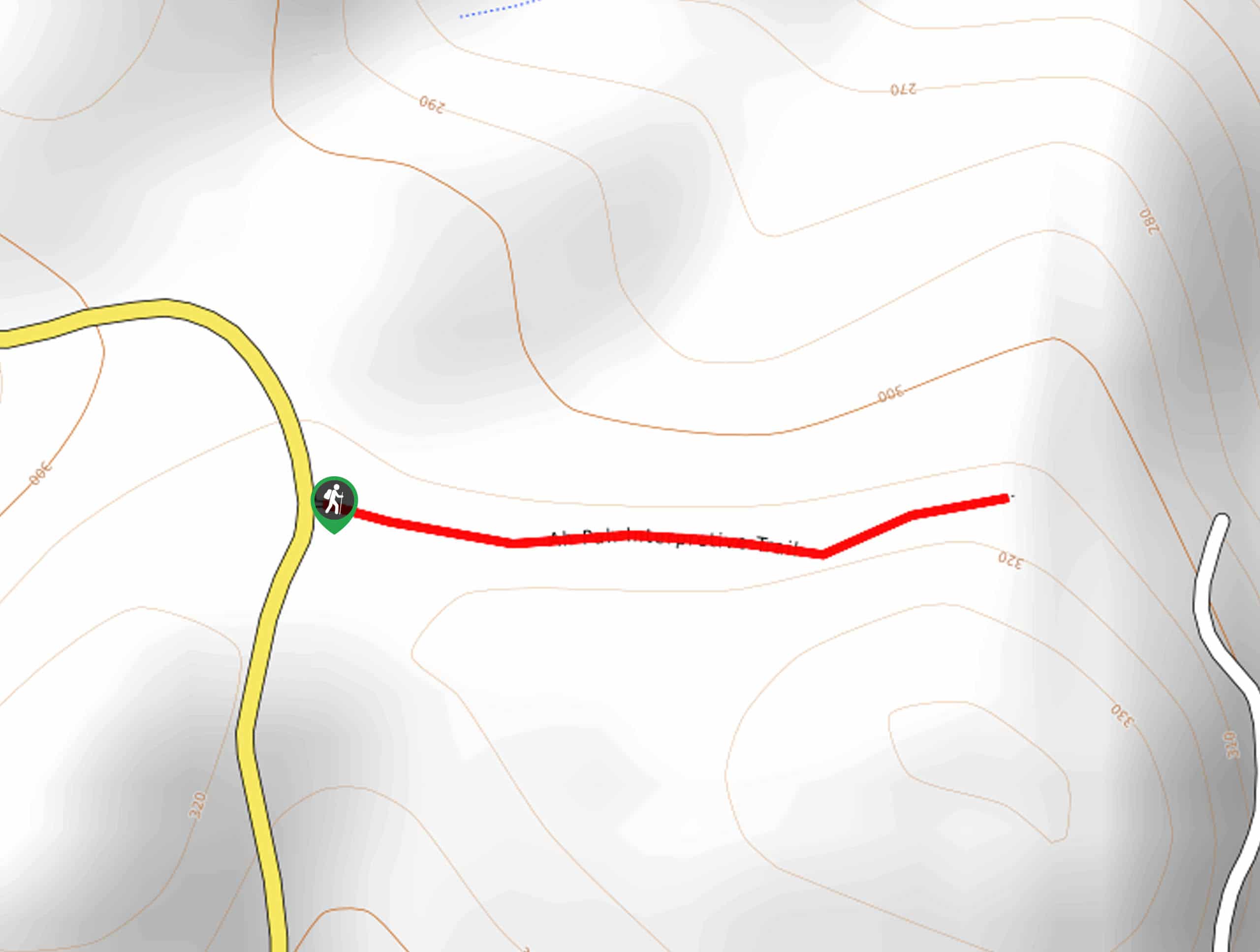
Ah-Pah Interpretive Trail
The Ah-Pah Interpretive Trail is a fun family adventure through a picturesque setting that provides the perfect opportunity to get…
Comments