Middle Ladybower Walk
View Photos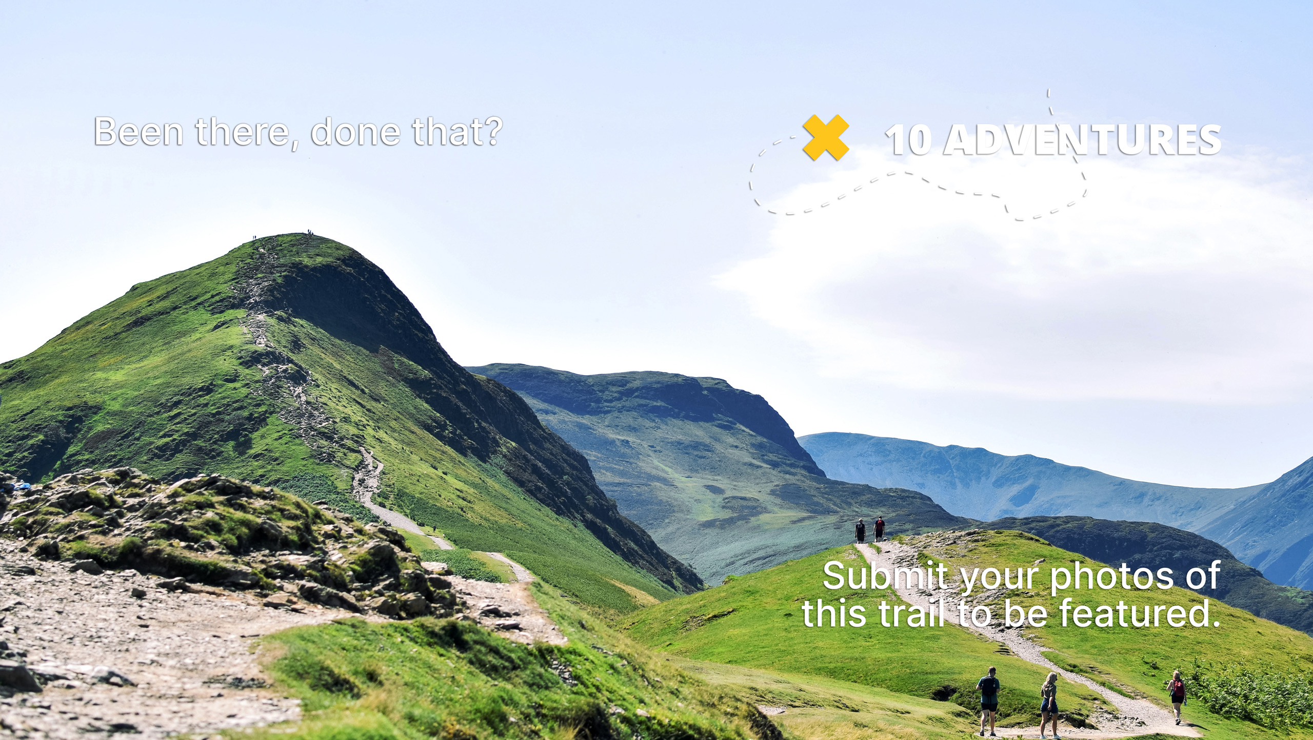
Middle Ladybower Walk
Difficulty Rating:
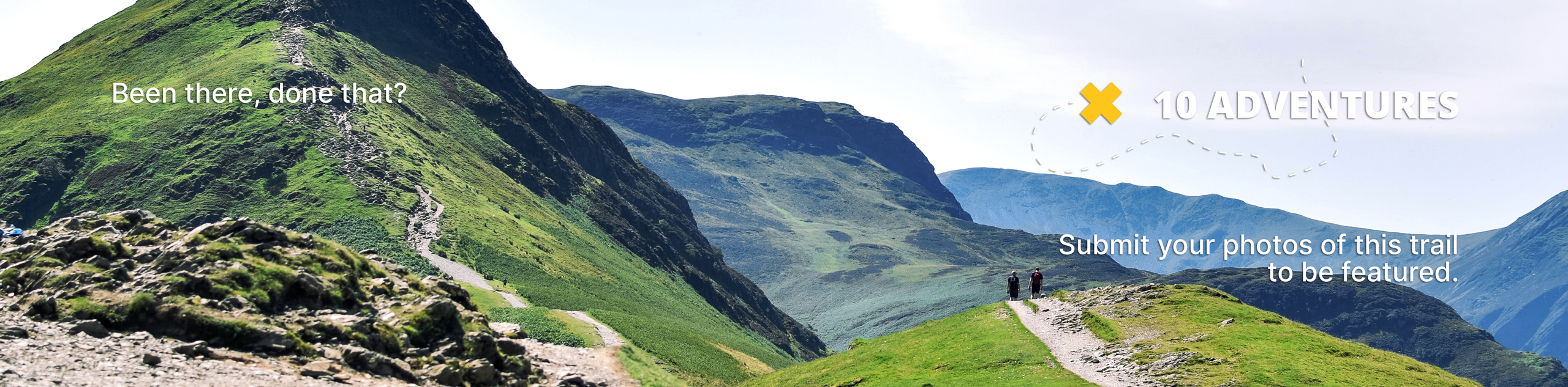
The Middle Ladybower Walk is an easy-going adventure in the Peak District that will take you around the edge of a scenic reservoir for sweeping views across the water. While out on the trail, you will traverse the water’s edge and enjoy views of the undulating terrain surrounding the Upper Derwent Valley before crossing over the wonderfully constructed Ashopton Viaduct. This walk is a great option to explore the beautiful terrain of the valley without the commitment of one of the long-distance routes.
Getting there
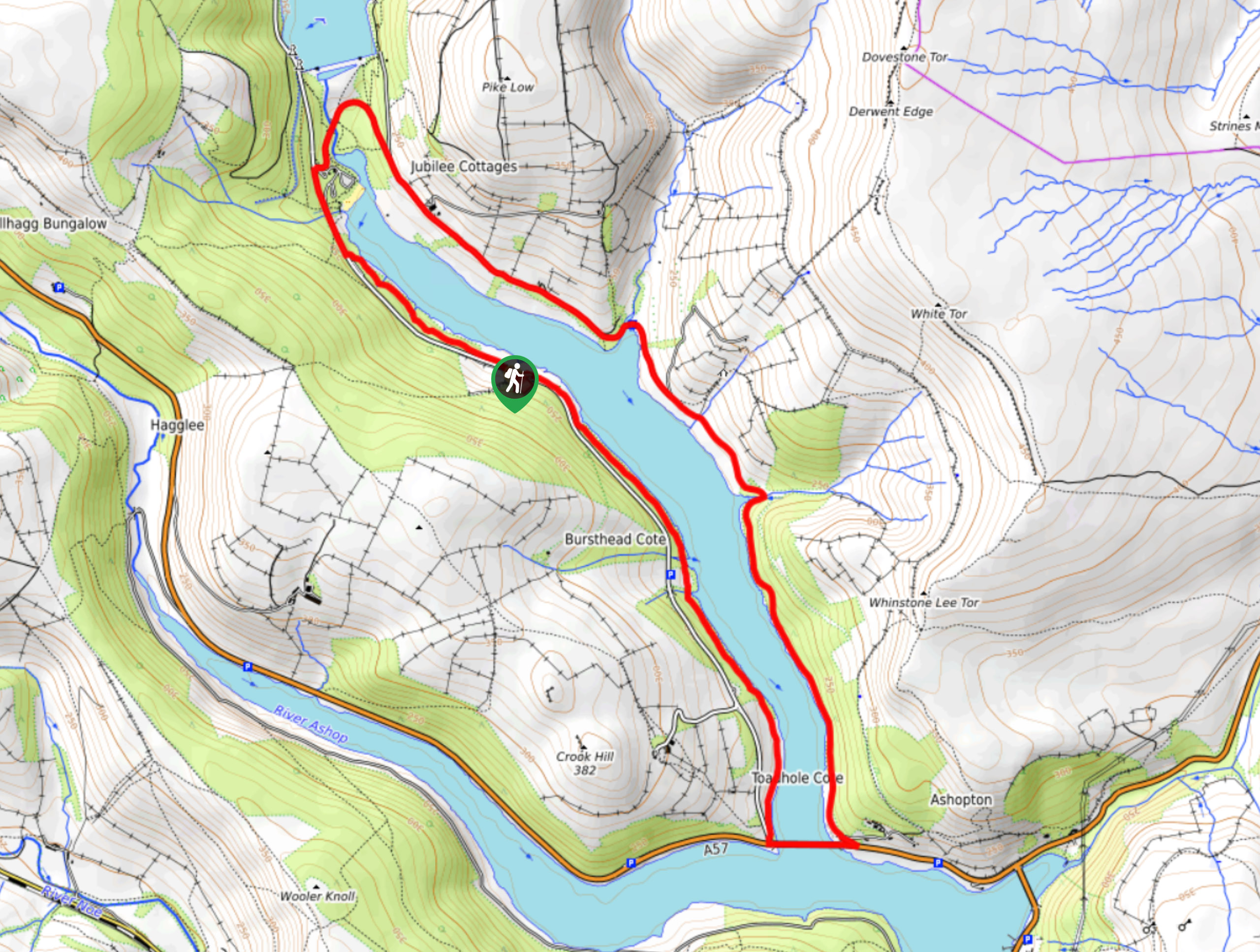
To reach the car park for the Middle Ladybower Walk from Bamford, drive north on Ashopton Road for 1.9mi and turn left onto the A57. After 0.4mi, make a right and continue on for 1.5mi, where you will find the car park on the left.

About
| When to do | March-November |
| Backcountry Campsites | No |
| Pets allowed | Yes - On Leash |
| Family friendly | Yes |
| Route Signage | Average |
| Crowd Levels | Moderate |
| Route Type | Circuit |
Middle Ladybower Walk
Elevation Graph
Weather
Middle Ladybower Walk Description
With scenic views across the Upper Derwent Valley and easy access to countless recreation trails in the area, it is no wonder why the Middle Ladybower Walk is such a popular adventure in the Peak District. Setting out from the car park, make your way north along the forested edge of the reservoir until you arrive at the visitor centre near the dam. From here, you will make your way south along the eastern shore of the reservoir, utilizing Derwent Lane to pass through the open farmland. Enjoy the scenic views across the water, as you pass through fields and stretches opr serene woodland on the way to the Ashopton Viaduct. Once there, you will head west to cross over the arched structure and once again make your way north along the western edge of the water. Enjoy the final views of the calm water surrounded by rolling hills, as you pass through some areas of light tree cover on the return leg of the walk back to the car park.
Other amazing walks in Peak District National Park
Check out our guides to Kinder Scout, Mam Tor, Stanage Edge, Dovedale, and Padley Gorge. Or see all of our Peak District walks on 10Adventures.
Similar hikes to the Middle Ladybower Walk hike

Valehouse Reservoir Circular
The Valehouse Reservoir Circular is a 3.1mi lollipop trail near Glossop that travels around the edge of the…

Three Edges Walk
The Three Edges Walk is a challenging circuit in Derbyshire that will take you along three escarpments that offer some…

Edale Rocky Ridges Walk
The Edale Rocky Ridges Walk is just that - an adventurous walk along a rugged ridgeline. While out on the…
Comments