


Mam Tor Walk – A Family-Friendly Circular Route
View PhotosMam Tor Walk – A Family-Friendly Circular Route
Difficulty Rating:
Mam Tor Walk is a short and family-friendly trail that is steeped in ancient history and takes in one of the Peak District’s most iconic views. Mam Tor Circular trail is great for nearly any level of hiker.
Please note this area is seeing a significant increase in litter, illegal fires, off-lead dogs, irresponsible parking, and overcrowding. Due to this, we encourage you to consider visiting another area in the Peak District at this time or ensure you are respecting the rules outlined by Peak District National Trust during your visit.
Getting there
The Mam Tor Walk trail head is near Castleton. If driving, take the A6187 west up Winnats Pass. At the top of the pass turn right and follow the road around. The trailhead is the second right after the turn off for Blue John Cavern. Park in the National Trust Mam Nick Car Park (Pay and Display).
About
| When to do | All Year |
| Backcountry Campsites | Yes |
| Toilets | At the trailhead and in Milldale |
| Family friendly | No |
| Route Signage | Average |
| Crowd Levels | High |
| Route Type | Circuit |
Mam Tor Walk – A Family-Friendly Circular Route
Elevation Graph
Weather
Mam Tor Walking Route
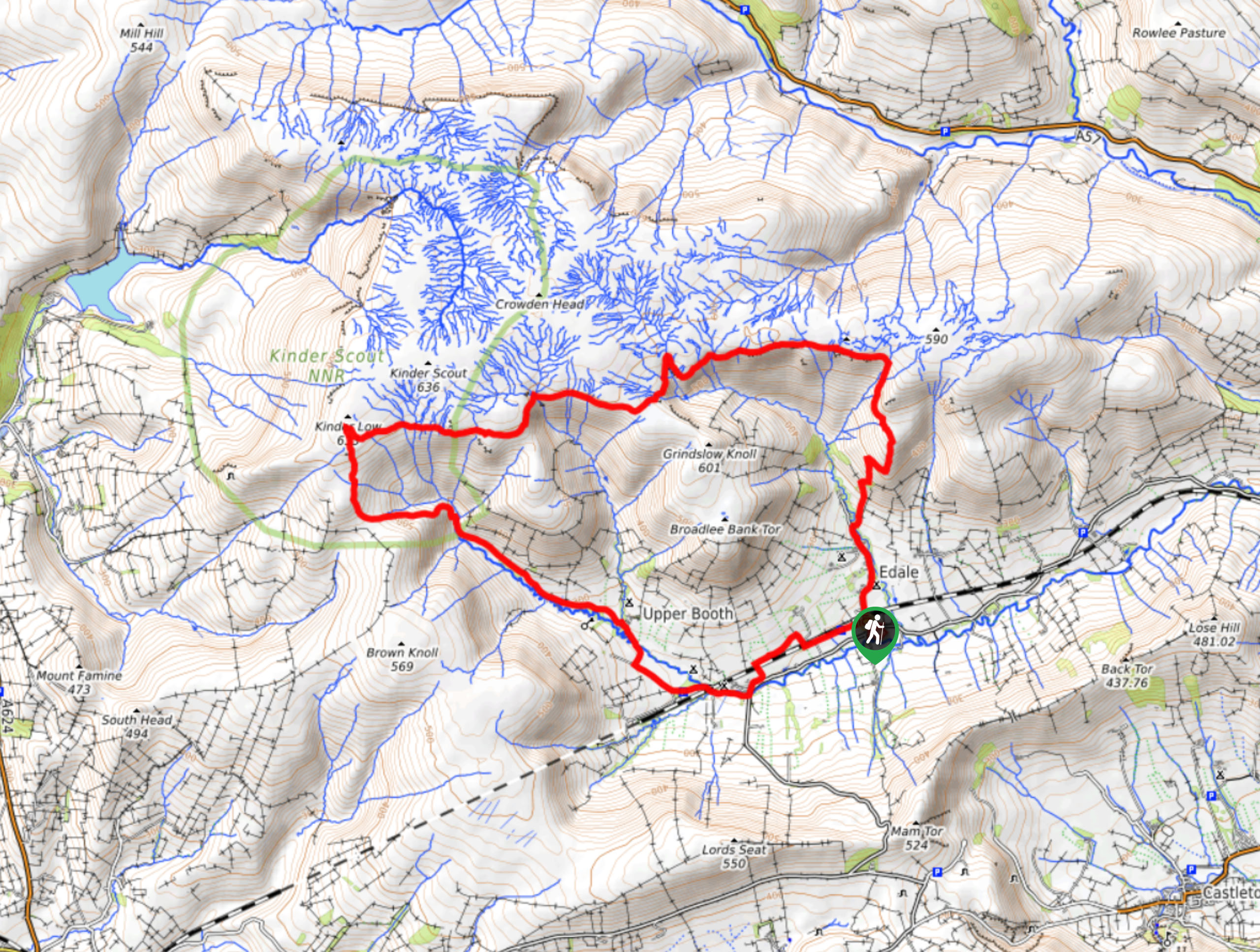
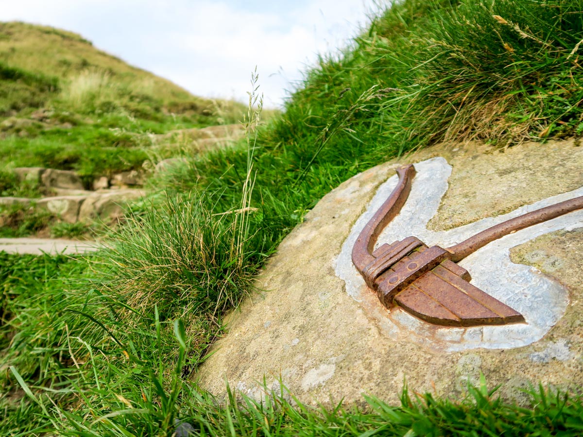
The Mam Tor Walking trail starts at the far end of the car park. Climb a short series of steps through the woodland before following the track right to a small sign posted gate. Walk through the gate and veer left to the stone steps that lead to the summit of Mam Tor. See if you can spot any of the carved stones that illustrate the landmark’s history and can help take your mind off the ascent!
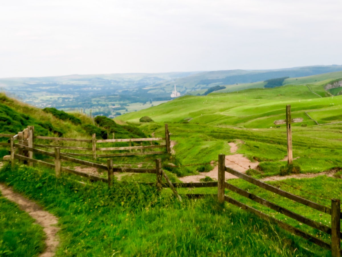
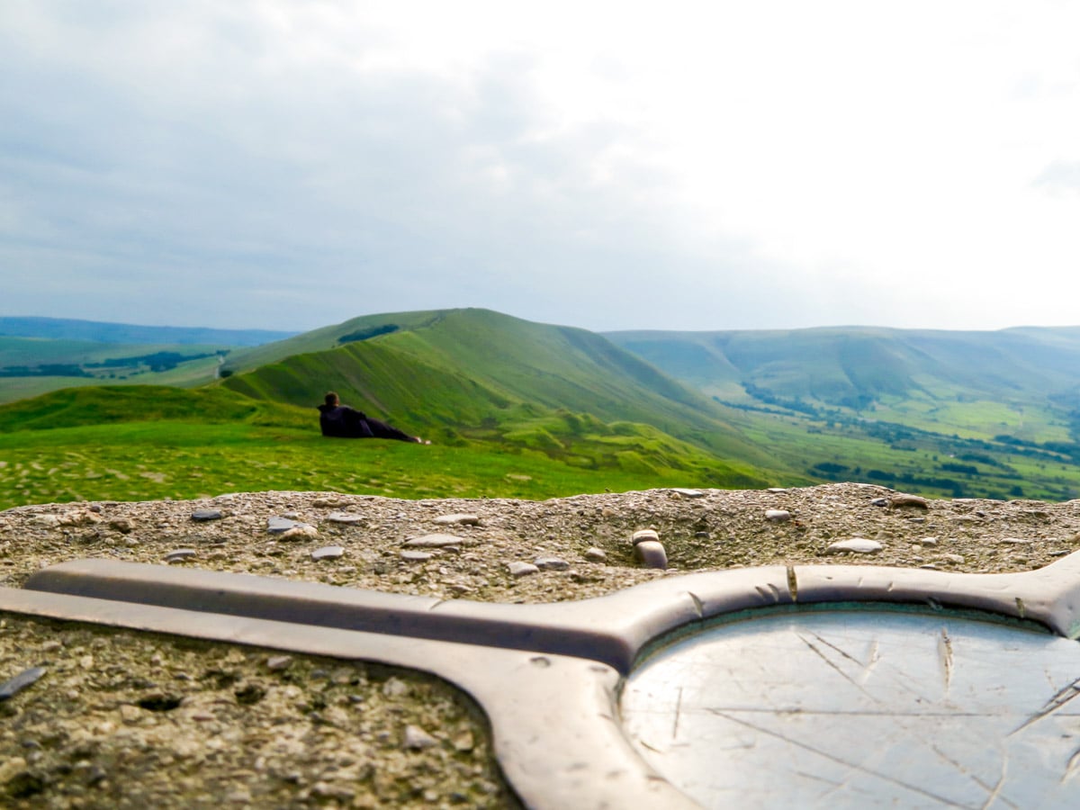
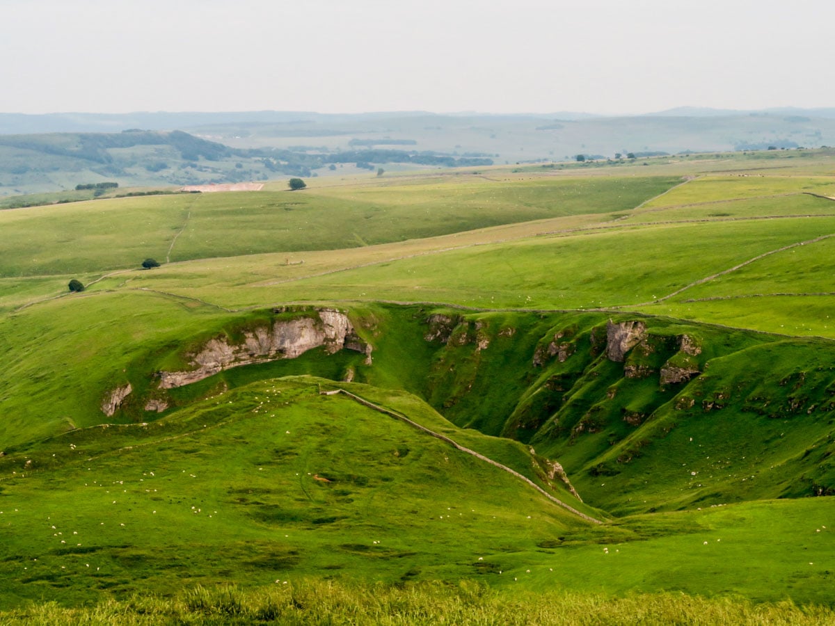
Atop the windswept you will be rewarded with far reaching views of the Vale of Edale, Peveril Castle and the Hope Valley. On an especially clear day you might be able to see the high moors of the Kinder Plateau. The level plateau of Mam Tor also makes it popular with paragliders on a sunny day.
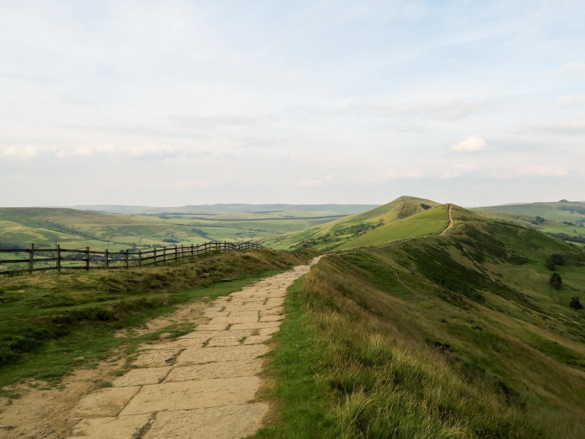
After taking in the view, continue the Mam Tor Circular Walk by following the flagstones north along the ridge and descend to Hollins Cross. There is a small signposted gate by the Trig Point pillar. Go through the gate and take the right hand path back towards Mam Tor.
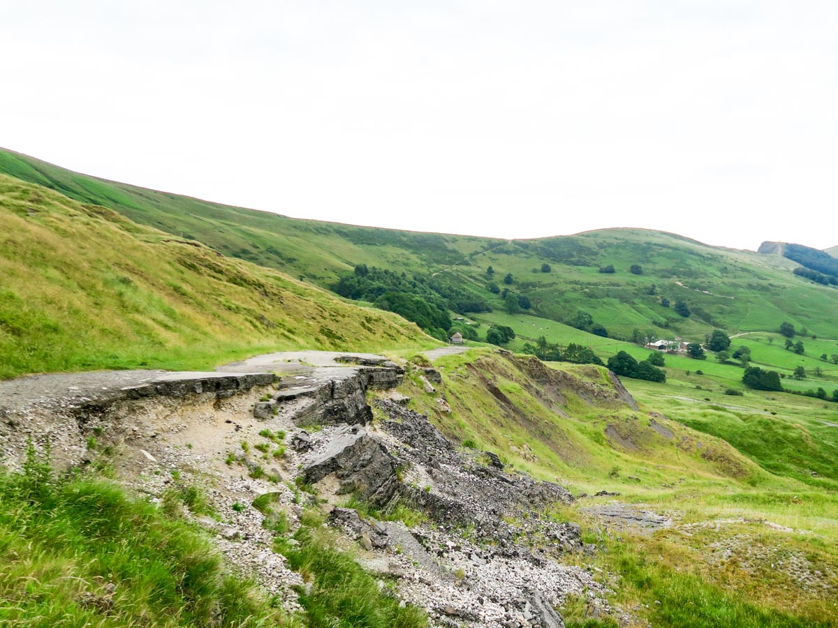
Along this part of the Mam Tor Walk, you will come to a small wooded section. Climb over the stile’s steps and continue along the path and onto a farm track. Follow this track past the farm (keeping it to your left) until you emerge on the ‘broken road’.
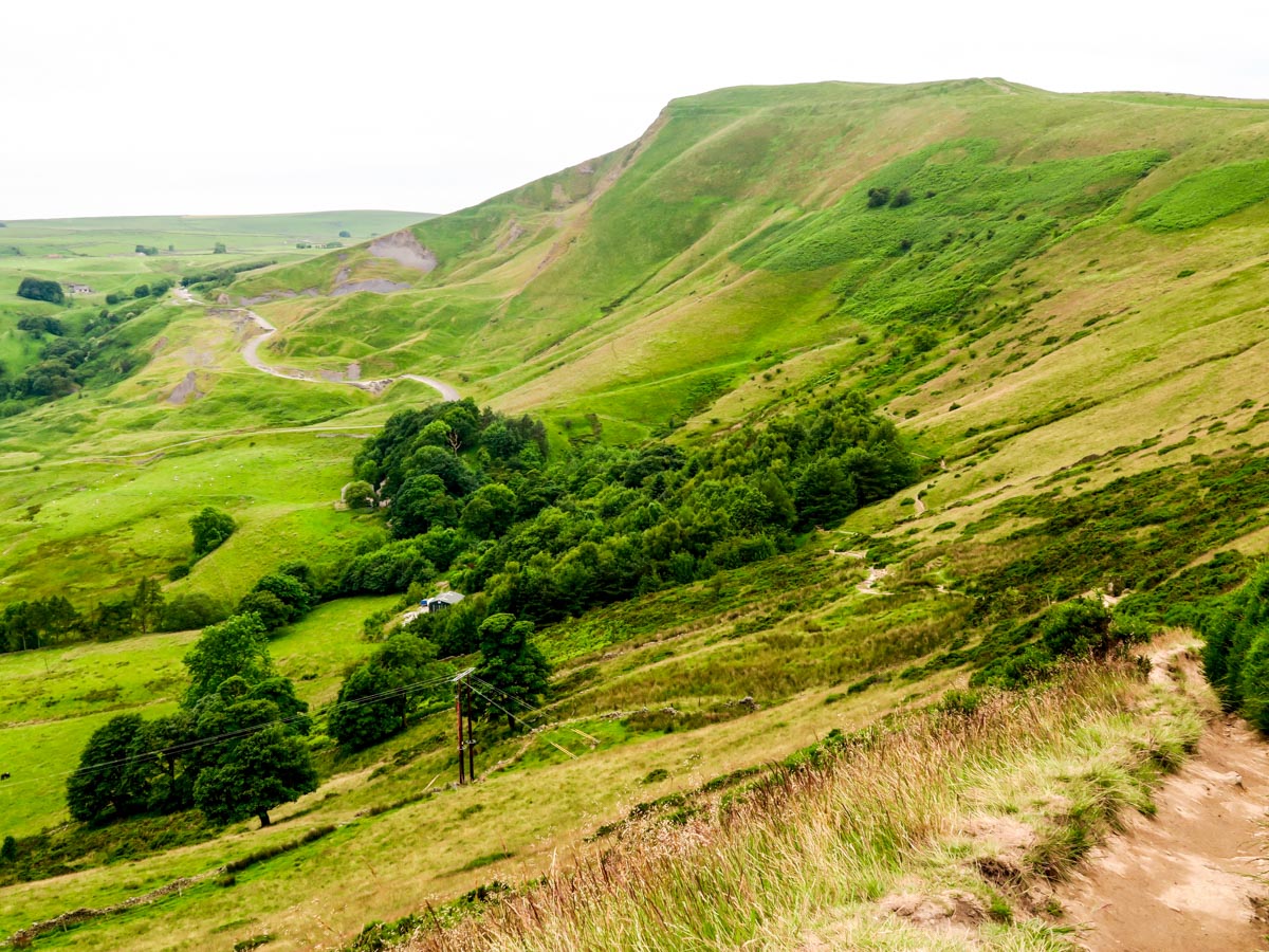
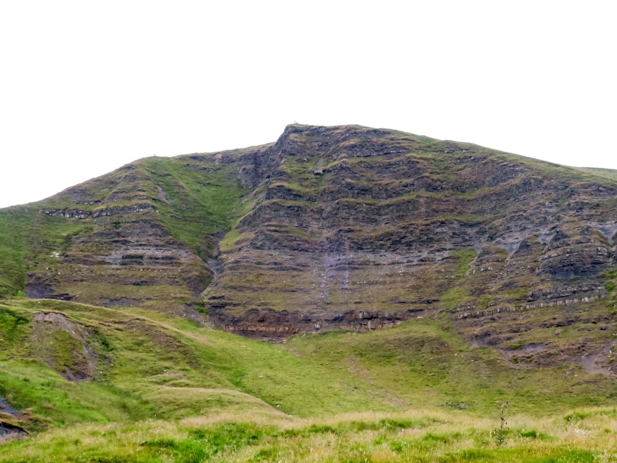
This famous road (that was once the former A625 from Sheffield to Stockport) skirts the dramatic and crumbling East Face of Mam Tor.
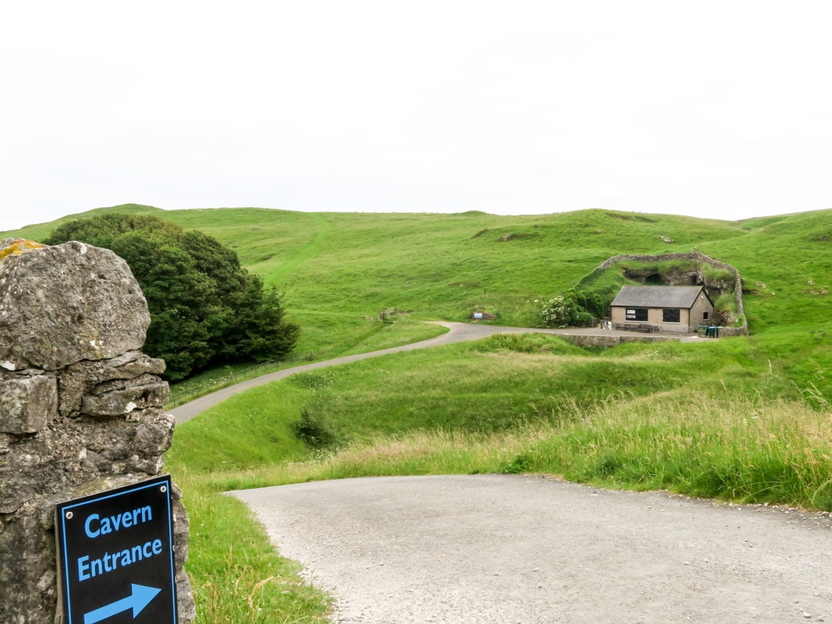
At the end of the broken road you pass through a gate into a car park. Exit the car park and take the first left path towards the Blue John Caverns, one of the most impressive series of limestone caverns in Western Europe with a prized variety of colourful fluorspar that gives the cavern its name.
Pass the entrance to the caverns, go through a small gate and then straight up a grassy track. At the top, keep right and pass through another small gate following the signpost to Windy Knoll. Cross the field, watching out for friendly livestock!
Eventually you will reach a gate to a road. Follow the grassy verge beside the road back to the Mam Nick car park.
Mam Tor walk in 2024
In 2024, Mam Tor remains a prime destination for hikers in the Peak District, offering several routes suitable for different levels of experience. Parking at Mam Tor is available but is expected to stay limited during peak times. The main car park charges are likely to remain £2.50 for 1-2 hours in 2024, and it’s important to carry cash as contactless payment is not available.
Mam Tor
Mam Tor, the Peak District’s ‘shivering mountain’ dominates the area around Castleton, and is one of the most iconic mountains in the Peak District. Standing at 1696ft above sea level, and occupying a stellar location in the south of the Dark Peaks, this beautiful hill offers a fabulous vista over the White Peaks and the gorge at Winnats Pass.
Mam Tor gets its name (‘mother hill’) from the fact that it is prone to landslides, meaning that it has inadvertently given birth to several small surrounding hills. This is caused by unstable shale on one side, and has caused regular problems for those attempting to construct roads around the hill. The last collapse in the 1970s resulted in the final closure of the A625 road to Sheffield, after a long battle to preserve its stability.
Despite its unstable foundations, humans have been building on and around Mam Tor since the Bronze Age. At the crown of the hill lie the remains of late Bronze Age and early Iron Age settlements, including a hill fort. These former residents must have been captivated by the remarkable views over to Stanage Edge, the Vale of Edale and the Hope Valley, just as we think you will be too!
Vale of Edale
Beautiful, scenic Edale is one of the most popular starting points for Peak District walks, and marks the southern endpoint of the Pennine Way. Like many parts of the Peak District, it has a long and fascinating history, and the village itself can be dated as far back as the 11th century, when it was marked in the Domesday Book. The valley follows the path of the River Noe, and contains some of the prettiest scenery in the region, punctuated by ancient hedgerows and offering some fabulous views over the Great Ridge, Win Hill, and Dalehead.
There’s plenty to see and do in the Vale of Edale, aside from enjoying the beautiful walking trails. The Holy Trinity Church is a popular landmark, dating from the 19th century. Prior to its construction, the people of Edale had to carry their dead over the hilltops to Castleton for burial, along a trail now known as the Coffin Track. The valley is covered in ancient packhorse routes, and even the Romans once used it as a highway. Don’t miss the Old Nags Head, a 16th century pub that marks the start (or end) of the Pennine Way.
Peveril Castle
Dating from the 11th century, Peveril Castle stands proudly above the village of Castleton. It’s a fine example of a Norman fortress, and is a wonderful place to learn about some local history. The castle was built by the son of William the Conqueror and extended by later monarchs in the 12th century, but is now a romantic ruin. The dramatic limestone ridge makes it a striking prospect above the village of Castleton, and it’s a great place for a pitstop in between some fabulous Peak District walks.
Frequently Asked Questions about Mam Tor
How long does it take to walk up Mam Tor?
The ascent of Mam Tor is a relatively short walk, and can be completed within 1-2 hours.
Is Mam Tor easy to climb?
The route up Mam Tor is steep, but mercifully short! It’s manageable for walkers of almost any level, and there are plenty of places to stop and admire the view if you get out of breath.
When did Mam Tor collapse?
Mam Tor is situated on an active landslide, which means that its southeast side is actually in permanent state of movement, averaging around a quarter of a meter per year. In 1974 the hill suffered a major landslide, which was followed by several smaller ones in subsequent years.
Is Mam Tor suitable for dogs?
Mam Tor is a great walk for dogs, especially if they are fit and used to hill walks. Just remember that you’ll need to keep them on a lead throughout pastureland or areas where there are sheep.
Want to find a more challenging walk in the Peak District with amazing views? Check out the Stanage Edge Walk or the Dovedale Walk.
Insider Hints
There are no toilets at Mam Nick Car Park. However you can start this walk slightly further afield in Castleton where many facilities are available.
Blue John Cavern is a worthwhile visit if you have the time. It also makes for a great coffee stop.
Stop off to explore the iconic Peveril Castle on your way home. It was built in 1086 by the son of William the Conqueror.
The 200 bus, Castleton - Chapel-en-le-Firth via Winnats Pass, will also arrive here.
Similar hikes to the Mam Tor Walk – A Family-Friendly Circular Route hike

Valehouse Reservoir Circular
The Valehouse Reservoir Circular is a 3.1mi lollipop trail near Glossop that travels around the edge of the…
Edale Rocky Ridges Walk
The Edale Rocky Ridges Walk is just that - an adventurous walk along a rugged ridgeline. While out on the…

Ladybower Reservoir & Derwent Edge Walk
The Ladybower Reservoir & Derwent Edge Walk is a fantastic route that offers gorgeous views across the Peak District Landscape.…


nicholakjones 4 years ago
Only came to see the sunset so a very short walk that didn’t take in the whole route! Parked in a lay-by next to the car park. 10-15 walk up a well paved path - steep but the views more than made up for it and you could stop for a rest if needed. Took the dog up as had many others. Lots of age groups up there and even people with pushchairs!
samcooper86 4 years ago
Lovely hike, good for dogs too
samcooper86 4 years ago
priya_ahuja 5 years ago
Easy walk with nice views. Bring a raincoat if the weather seems iffy.
Allbitenobark 5 years ago
Easy hike that comes with some sweet views!
RobPeterson 5 years ago
mam tor walk is not only the perfect hiking destination for the family but also a great way to show and teach our children about history.
Mr Dean 5 years ago
This is a nice hike that offers variety of views and history. I highly recommend this for family hikes,
unicorn_lady 5 years ago
This hike is known for its iconic views, and I understood it when I came here. It's also nice to see some paragliders. Paragliding looks like a really incredible activity, I wish I have more courage to try it next time.
Reecewill178 5 years ago
Brilliant landscapes and nice scenery.
Sarah Potts 5 years ago
This walk is good for everyone. A must try!