Houndkirk/Stanage All-Weather Route
View Photos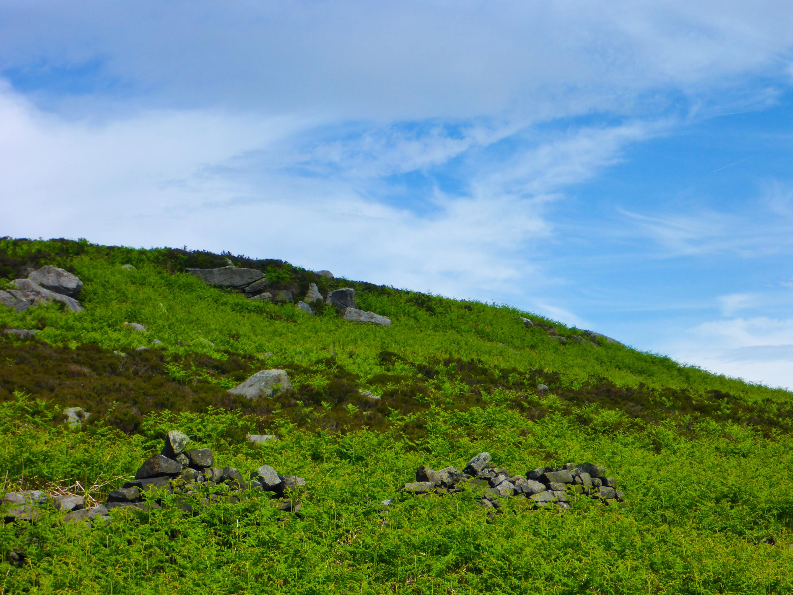
Houndkirk/Stanage All-Weather Route
Difficulty Rating:
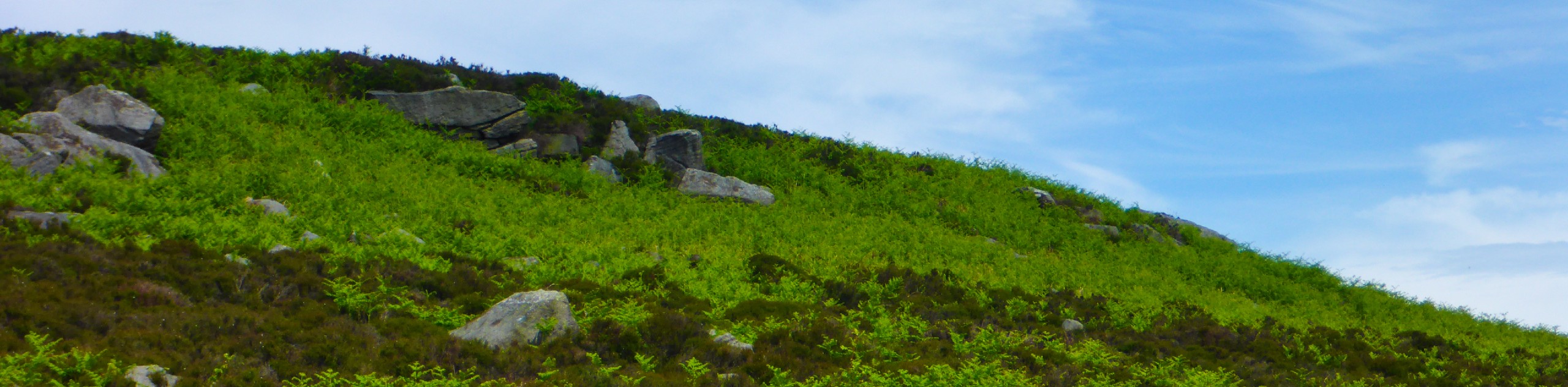
The Houndkirk/Stanage All-Weather route is a lengthy 16.1mi journey that will take you from the edge of Sheffield to Stanage Edge and back. While on the trail you will pass through several different terrain types, including boggy moors, open farmland, and charming waterside settings. This may be a long route, but there is no better way to spend the day than taking a leisurely stroll through the picturesque English countryside.
Getting there
To reach the car park for the Houndkirk/Stanage All-Weather Route from Hathersage, drive east along Main Road/A6187 for 1.1mi and turn left to continue on for another 1.7mi. Keep right onto Ringinglow Road and follow it for 2.3mi to find the car park on the left just after the Norfolk Arms.

About
| When to do | April-November |
| Backcountry Campsites | Wyming Brook Farm Certificated Site |
| Pets allowed | Yes - On Leash |
| Family friendly | No |
| Route Signage | Average |
| Crowd Levels | Moderate |
| Route Type | Circuit |
Houndkirk/Stanage All-Weather Route
Elevation Graph
Weather
Houndkirk/Stanage All-Weather Route Description
Walking the houndkirk/Stanage All-Weather Route is a fun adventure on the border of South Yorkshire and Derbyshire that will allow you to experience some of the most scenic landscapes that the Peak District has to offer. Setting out from the car park next to The Norfolk Arms, make your way southwest along Houndkirk Road, taking a short detour to the right to explore Lady Canning’s Plantation before continuing on to cross the moor and eventually arrive at the edge of the Longshaw Estate. From here, turn towards the north to walk along the Burbage Edge while enjoying views across the valley towards Carl Wark and Higger Tor. After passing by Burbage Bridge, continue along the trail to the southwest to skirt around Higger Tor, following the path as it turns northwest to traverse the lower slopes of Stanage Edge.
After crossing over several streams and traversing the moor, you will climb uphill to reach the top of the rugged escarpment, following it to the east to enjoy some scenic views across the Peak District. From here, the trail will turn sharply to the northeast to once again travers a stretch of barren moorland terrain on the way to the Redmires Reservoirs. Here, you will make your way along the northern edge of the reservoirs, enjoying the views across the calm water before turning back toward the south to pass by Wyming Brook Farm. On this final stretch of the journey, you will continue south through the open fields to eventually arrive back at the car park where you began the walk.
Other amazing walks in Peak District National Park
Check out our guides to Kinder Scout, Mam Tor, Stanage Edge, Dovedale, and Padley Gorge. Or see all of our Peak District walks on 10Adventures.
Similar hikes to the Houndkirk/Stanage All-Weather Route hike

Valehouse Reservoir Circular
The Valehouse Reservoir Circular is a 3.1mi lollipop trail near Glossop that travels around the edge of the…

Three Edges Walk
The Three Edges Walk is a challenging circuit in Derbyshire that will take you along three escarpments that offer some…

Edale Rocky Ridges Walk
The Edale Rocky Ridges Walk is just that - an adventurous walk along a rugged ridgeline. While out on the…
Comments