Heatherdene to Win Hill
View Photos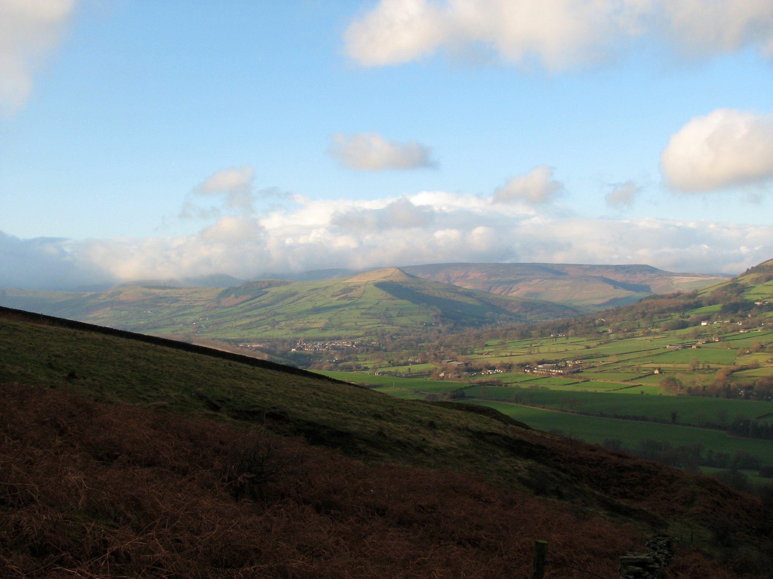
Heatherdene to Win Hill
Difficulty Rating:
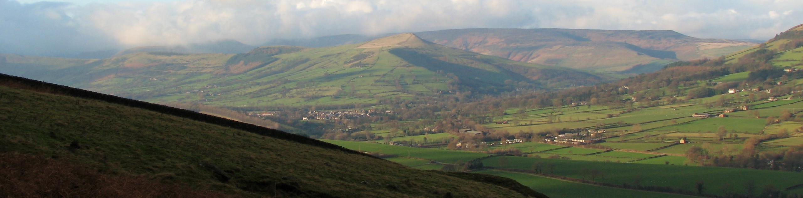
The walking route from Heatherdene to Win Hill is a fun adventure through the Peak District that will expose you to some truly scenic views of the Derwent Valley. While out on the trail, you will walk the forested edge of the Ladybower Reservoir and experience views of the wonderfully engineered viaducts that stretch out across the water before making your way uphill for elevated views of the surrounding landscape. This pleasant walk is an excellent way to get acquainted with the Peak District.
Getting there
To reach the Heatherdene car park from Hathersage, drive west on Main Road/A6187 for 1.5mi and turn right onto Sickleholme/A6013. Follow this for 2.5mi and turn right to enter the car park.

About
| When to do | March-November |
| Backcountry Campsites | No |
| Pets allowed | Yes - On Leash |
| Family friendly | Older Children only |
| Route Signage | Average |
| Crowd Levels | Moderate |
| Route Type | Lollipop |
Heatherdene to Win Hill
Elevation Graph
Weather
Heatherdene to Win Hill Trail Description
The Heatherdene to Win Hill Trail is a popular walk in the Peak District due to the fact that it is located in the Derwent Valley, an area that is well known for its access to countless recreation activities. Make sure to arrive early if you want a parking spot at the trailhead.
The route sets out from the car park and heads south to cross over the expanse of the Ladybower Dam. From here, make your way north along the forested edge of the reservoir before taking a trail uphill to reach the summit of Win Hill. Here, you will enjoy some spectacular views across the Peak District landscape. After walking along the elevated hilltop to the west, you will eventually descend the hill and cross the River Ashop to once again make your way through the forest along the edge of the water. Enjoy the views that stretch out to the Ladybower and Ashopton viaducts before you arrive back at the dam wall. From here, cross over and follow your initial route back to the car park where you began the walk.
Other amazing walks in Peak District National Park
Check out our guides to Kinder Scout, Mam Tor, Stanage Edge, Dovedale, and Padley Gorge. Or see all of our Peak District walks on 10Adventures.
Similar hikes to the Heatherdene to Win Hill hike

Valehouse Reservoir Circular
The Valehouse Reservoir Circular is a 3.1mi lollipop trail near Glossop that travels around the edge of the…

Three Edges Walk
The Three Edges Walk is a challenging circuit in Derbyshire that will take you along three escarpments that offer some…

Edale Rocky Ridges Walk
The Edale Rocky Ridges Walk is just that - an adventurous walk along a rugged ridgeline. While out on the…
Comments