Dobcross Circular Walk
View Photos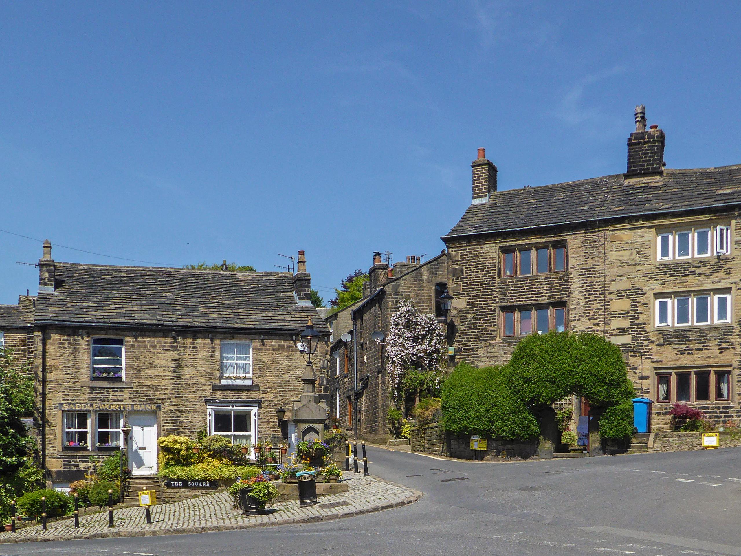
Dobcross Circular Walk
Difficulty Rating:
Walking the Dobcross Circular is a great experience near Oldham that will see you traverse the terrain along the edge of the Peak District for some amazing views overlooking the surrounding countryside. While out on the trail, you will pass through charming villages and open farmland terrain before skirting around Standedge and the Castleshaw Reservoirs on the return leg of the walk. This walk features a great mix of urban/natural terrain that makes for a fun day of adventuring for walkers of most skill levels.
Getting there
To reach the car park for the Dobross Circular Walk from Greenfield, head west on CHew Valley Road for 0.7mi and turn right onto Chapel Road. After 0.3mi, make a slight right onto Oldham Road and follow it for 1.0mi to find the entrance to the car park on the left.

About
| When to do | March-November |
| Backcountry Campsites | No |
| Pets allowed | Yes - On Leash |
| Family friendly | Older Children only |
| Route Signage | Average |
| Crowd Levels | Moderate |
| Route Type | Circuit |
Dobcross Circular Walk
Elevation Graph
Weather
Dobcross Circular Trail Description
Due to the mix of natural and urban terrain, the Dobcross Circular Walk largely features well-maintained paths that are easy to navigate; however, there are a few portions of trail that can become fairly wet and muddy. Make sure to wear proper walking footwear to better combat these conditions. Additionally, the car park at the trailhead is fairly small and fills up quickly during peak times and on weekends. Be sure to arrive early to secure parking.
These minor issues aside, this walking route is a fantastic outdoor experience that will allow you to explore the beautiful landscape along the edge of the iconic Peak District and walk through the beautiful villages of Greater manchester. While out on this trail, you will pass through open tracts of farmland, walk around serene water reservoirs, and take in the views of the rolling green hills that characterize the terrain in this part of the scenic English countryside. If you find yourself in the Greater Manchester area, try making the Dobcross Circular Walk your next big adventure.
Setting out from the car park, head east and cross over the road, following the lane until you come to a railway crossing. Make your way up and over the tracks and continue through the open farmland until you meet up with the road. Keep straight along the road for 160ft, before picking up the trail on the right that leads through the trees. After 0.6mi, cross the bridge over Station Road and turn left at the junction immediately after.
Head towards the southeast and keep straight for 0.3mi, where you will meet up with Higher Cross Lane. Follow this to the left for 110ft and pick up the trail on the right side of the road to eventually meet up with Knowl Top Lane. Follow this to the right for 430ft and make a sharp right to continue along the lane for another 0.2mi, where you will come to a bend in the road. Take the second path on the outer edge of the bend to cross over a stile and cut across the open farmland.
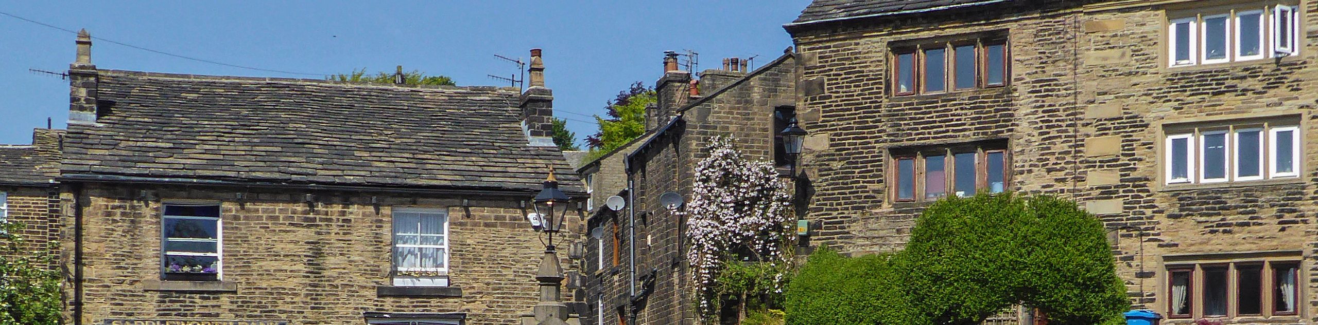
After roughly 0.4mi, you will arrive at a lane next to a cottage. Follow this to meet up with Pobgreen Lane, making a right turn followed by a left after 50ft to follow a wide track to the north. After reaching a junction, turn left and make your way over two stiles to eventually arrive at the side of the road in the village of Saddleworth. Make a right onto the road and follow it around the bend for 0.5mi, where you will find a trail branching off to the right. Take this path and pass between the buildings, keeping one eye on your GPS and the other on the views of the scenic countryside as you traverse the open farmland to the north for 0.8mi.
When you reach the side of the road, head left to cross over Diggle Brook and make the next right along the road. After 0.2mi, keep left at the bend to get off the road and follow the track branching off to the north. Keep left along the wall until you reach a farm, passing straight through onto Brun Lane and following it for the next 0.41mi. Turn left along the road here, followed by a right on Tetley Bye Road to cross over Huddersfield Road and eventually arrive at the foot of Standedge, a rocky escarpment high up on the moor.
Turn left along Standedge Foot Road and follow it around the bend to descend back down the hillside. Turn right on Bleak Hey Nook Lane and follow it west to pass by Castleshaw house and pick up the trail on the right. Follow this around the Castleshaw Reservoirs, taking some time to enjoy the views across the calm water, before heading right at the fork to follow closely along the brook.
After 0.7mi, you will pass by the charming edge of Mill Pond and continue southwest along the trail as it cuts through the village of Delph and meets up with the road next to the White Lion pub. Turn right along the road, followed by a left to continue southeast along Hill End Road. For a more scenic route, cut through the forest on your right to make your way to the edge of the River Tame, following a path that will eventually meet up with a lane near some local businesses. Continue along the lane and cross over Huddersfield Road, keeping right at the next fork to make your way along the final leg of the journey.
Keep an eye on the GPS here, as the route passes through some open terrain that comes close to the edge of the river. If you would rather follow along the road, just continue east to walk through Dobcross. After meeting up with Dobcross New Road, cross over and pick up the trail on the other side as it passes through the forest to eventually cross a bridge over the Huddersfield Narrow Canal. Turn left here and cross over the River Tame, following the trail for 0.2mi to arrive back at the carpark where you began the Dobcross Circular Walk.
Other amazing walks in Peak District National Park
Check out our guides to Kinder Scout, Mam Tor, Stanage Edge, Dovedale, and Padley Gorge. Or see all of our Peak District walks on 10Adventures.
Insider Hints
Parking at the trailhead is limited, so make sure to arrive early.
Some parts of this walk can become very wet and muddy. Wear proper walking footwear.
The Navigation Inn near the trailhead is a great spot for pre/post-walk refreshments.
Similar hikes to the Dobcross Circular Walk hike

Valehouse Reservoir Circular
The Valehouse Reservoir Circular is a 3.1mi lollipop trail near Glossop that travels around the edge of the…

Three Edges Walk
The Three Edges Walk is a challenging circuit in Derbyshire that will take you along three escarpments that offer some…

Edale Rocky Ridges Walk
The Edale Rocky Ridges Walk is just that - an adventurous walk along a rugged ridgeline. While out on the…
Comments