Castleton Round-Trip
View Photos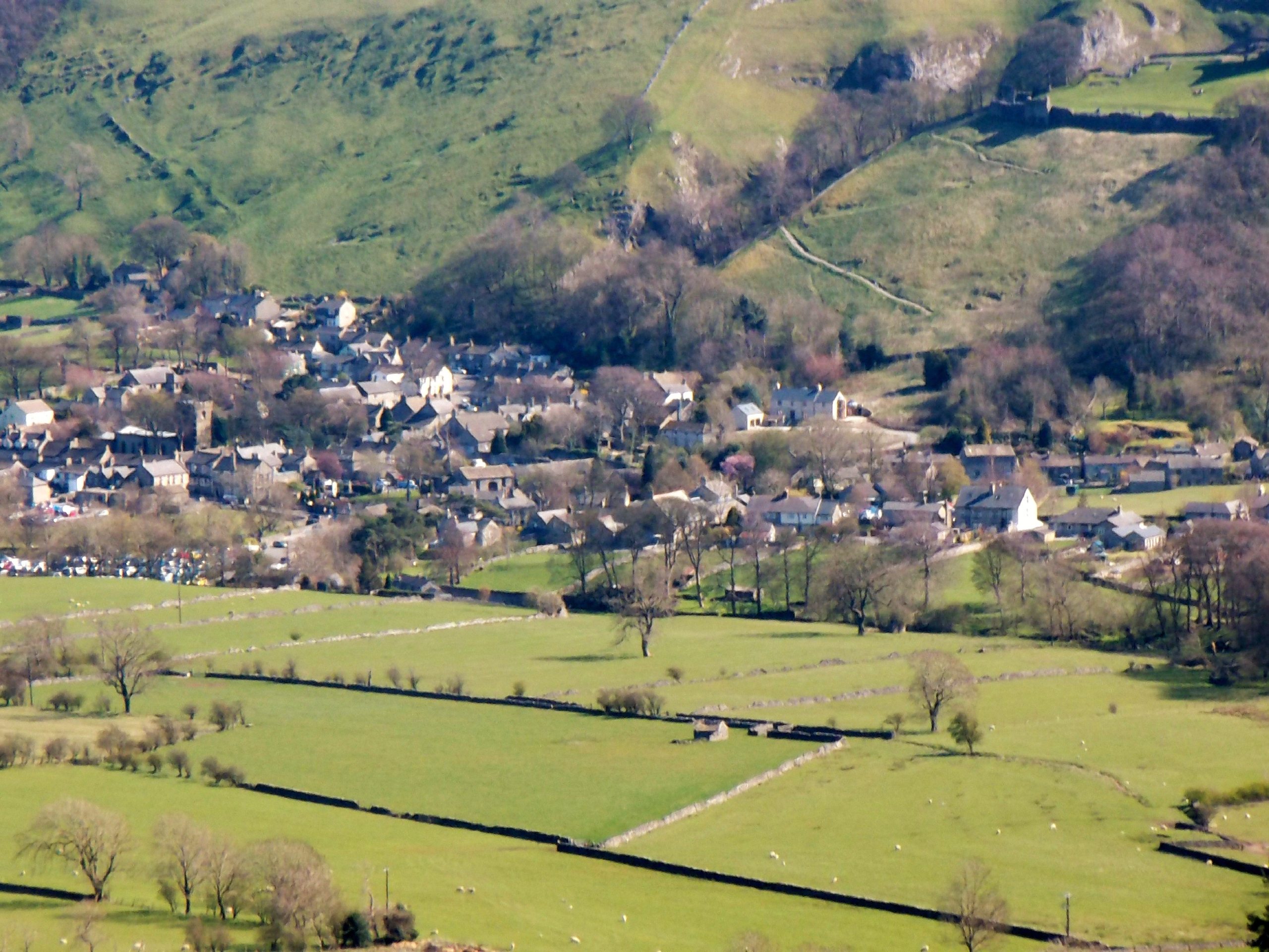
Castleton Round-Trip
Difficulty Rating:
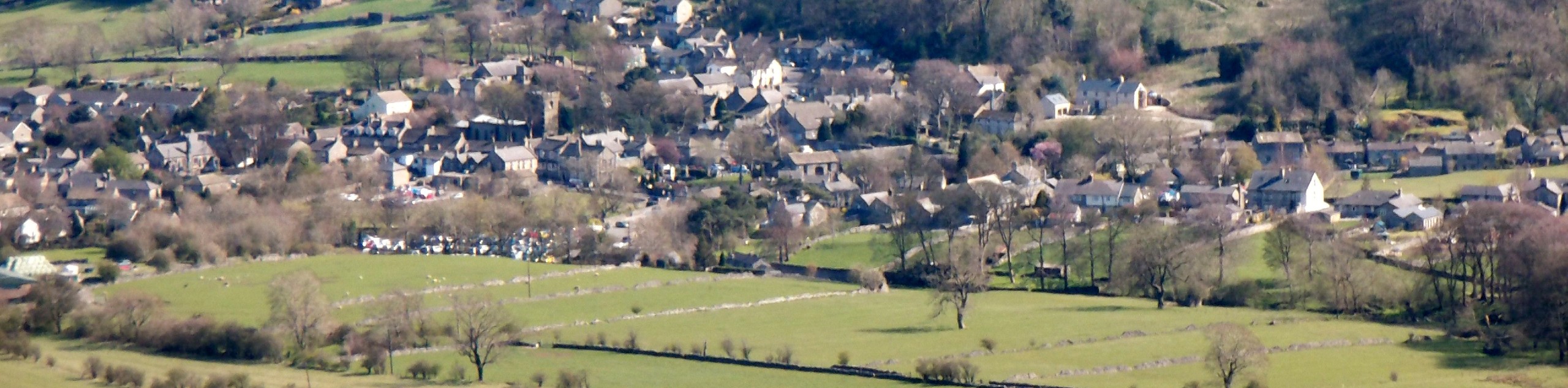
The Castleton Round-Trip is a great walking route that will allow you to explore some of the best natural and cultural sites that the Peak District has to offer. While out on the trail, you will pass through the historic village of Castleton before climbing uphill through the picturesque Cave Dale in the shadow of the 11th Century Peveril Castle. From here, the trail climbs over Mam Tor to arrive in Edale before traversing The Great Ridge on the way back to the village. Be prepared for a full day of sightseeing!
Getting there
To reach the Castleton Round-Trip trailhead from Chapel-en-le-Frith, drive northeast along Sheffield Road for 4.5mi and turn right onto Old Mam Tor Road, following it for 0.2mi. Turn left here onto Winnats Pass, keeping straight for the next 1.2mi. Turn right onto Buxton Road and follow it for 0.3mi, turning right onto Castle Street to arrive at the trailhead in 120ft.

About
| When to do | March-November |
| Backcountry Campsites | Rowter Farm Campsite, Coopers Camp, Fieldhead Campsite |
| Pets allowed | Yes - On Leash |
| Family friendly | Older Children only |
| Route Signage | Average |
| Crowd Levels | High |
| Route Type | Circuit |
Castleton Round-Trip
Elevation Graph
Weather
Castleton Round-Trip Trail Description
Walking the Castleton Round-Trip Trail is a popular activity in the Peak District due to the sheer volume of highlights that can be found along the route. Setting out from the charming village of Castleton, you will make your way to the southwest to walk through the tranquil limestone valley of Cave Dale and view the ruins of Peveril Castle, a beautiful fortification dating back to the era of the Norman Conquest. From here, you will traverse an open stretch of picturesque English countryside, before arriving at the summit of Mam Tor. Instead of traversing The Great Ridge, you will descend the hillside to the north and make your way down into the village of Edale along the winding banks of the River Noe.
After a short walk to Grindsbrook Booth – where you can most certainly stop for some mid-walk refreshments at The Old Nags Head – turn back to the south and climb up The Great Ridge to its low point at Hollins Cross. Now you can traverse the undulating ridgeline to the east, walking over Back Tor and Lose Hill, before descending along its southeastern slope. From here, you will once again need to cut across the open farmland before arriving back in Castleton where you began your adventure.
Other amazing walks in Peak District National Park
Check out our guides to Kinder Scout, Mam Tor, Stanage Edge, Dovedale, and Padley Gorge. Or see all of our Peak District walks on 10Adventures.
Similar hikes to the Castleton Round-Trip hike

Valehouse Reservoir Circular
The Valehouse Reservoir Circular is a 3.1mi lollipop trail near Glossop that travels around the edge of the…

Three Edges Walk
The Three Edges Walk is a challenging circuit in Derbyshire that will take you along three escarpments that offer some…

Edale Rocky Ridges Walk
The Edale Rocky Ridges Walk is just that - an adventurous walk along a rugged ridgeline. While out on the…
Comments