
Agden Reservoir Walk
View Photos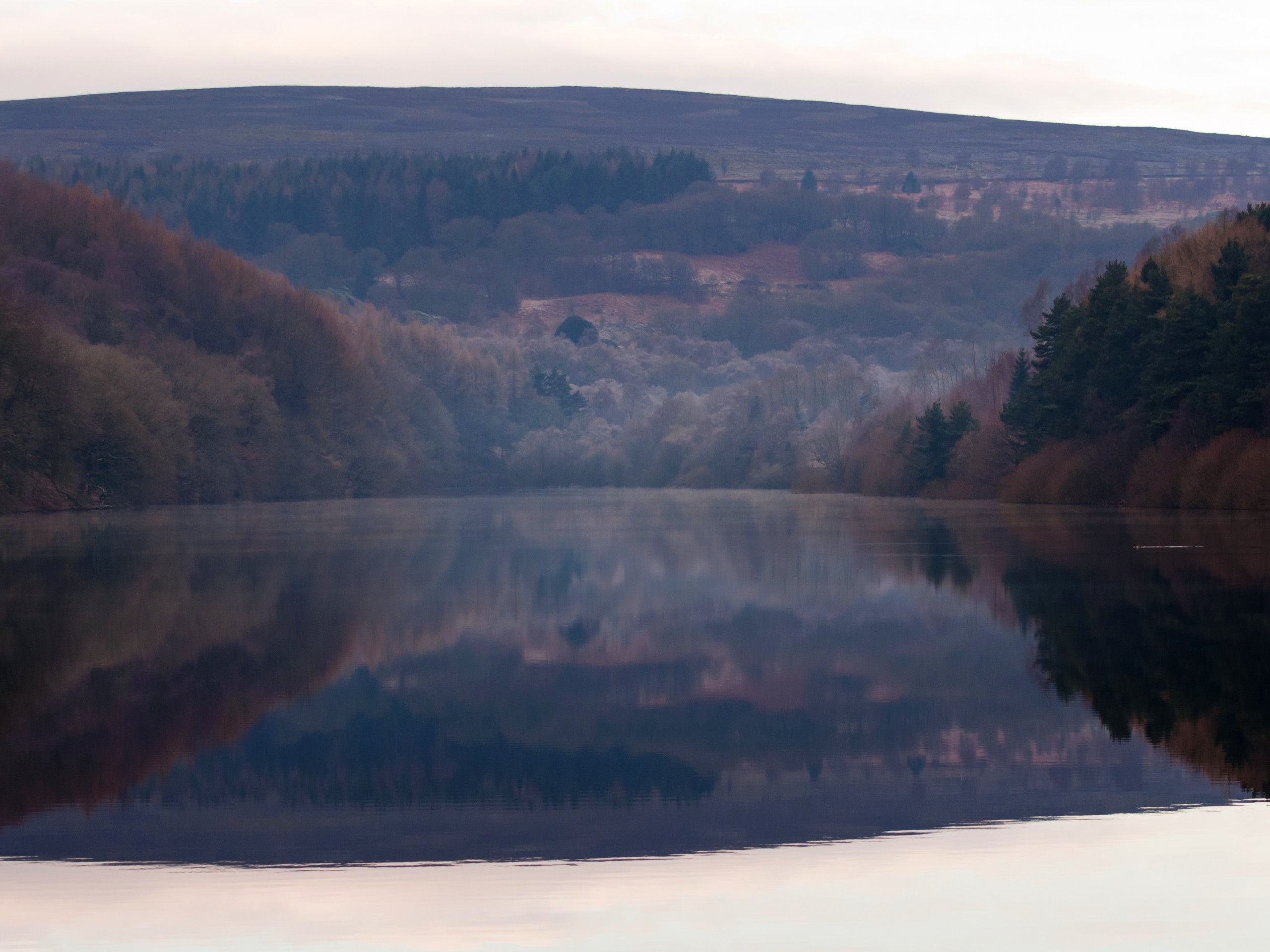
Agden Reservoir Walk
Difficulty Rating:
The Agden Reservoir Walk is a relaxing stroll through the South Yorkshire countryside surrounding the picturesque villages of High Bradfield and Low Bradfield. While out on the trail, you will make your way around the edge of the reservoir and receive some nice views across the water before traversing the fields and woodlands to the northeast. This walk is a great mix of rural setting and charming villages that everyone is sure to enjoy.
Getting there
To reach the car park for the Agden Reservoir Walk from High Bradfield, drive southwest on Woodfall Lane for 0.5mi and turn right onto Smithy Bridge Road. After 320ft, turn right onto Mill Lee Road and follow it for 300ft, before turning right onto The Sands. In 250ft, you will find parking on the right.

About
| When to do | Year-Round |
| Backcountry Campsites | No |
| Pets allowed | Yes - On Leash |
| Family friendly | Yes |
| Route Signage | Average |
| Crowd Levels | Moderate |
| Route Type | Circuit |
Agden Reservoir Walk
Elevation Graph
Weather
Agden Reservoir Walk Description
The charming villages of High Bradfield and Low Bradfield have always served as an escape from the city for people living in nearby Sheffield, so it should come as no surprise that the Agden Reservoir Walk is a popular destination for outdoor enthusiasts looking for a leisurely stroll along the water’s edge. Setting out from the trailhead, make your way north along Windy Bank and take in the beautiful views across the calm water of the reservoir, before leaving the road behind on the approach to the Agden Bog Nature Reserve. After crossing over Hobson Moss Dike, continue northeast through the boggy terrain before climbing up the hillside. From here, you will turn to the southeast and enjoy some scenic views overlooking the reservoir from an elevated position along the hillside, before making your way into the village of High Bradfield. After passing through the village, follow the trail to the west in order to cut across the picturesque countryside and arrive back in Low Bradfield where you began the walk.
Other amazing walks in Peak District National Park
Check out our guides to Kinder Scout, Mam Tor, Stanage Edge, Dovedale, and Padley Gorge. Or see all of our Peak District walks on 10Adventures.
Similar hikes to the Agden Reservoir Walk hike

Valehouse Reservoir Circular
The Valehouse Reservoir Circular is a 3.1mi lollipop trail near Glossop that travels around the edge of the…

Three Edges Walk
The Three Edges Walk is a challenging circuit in Derbyshire that will take you along three escarpments that offer some…

Edale Rocky Ridges Walk
The Edale Rocky Ridges Walk is just that - an adventurous walk along a rugged ridgeline. While out on the…
Comments