Hackfall and River Ure Circular Walk
View Photos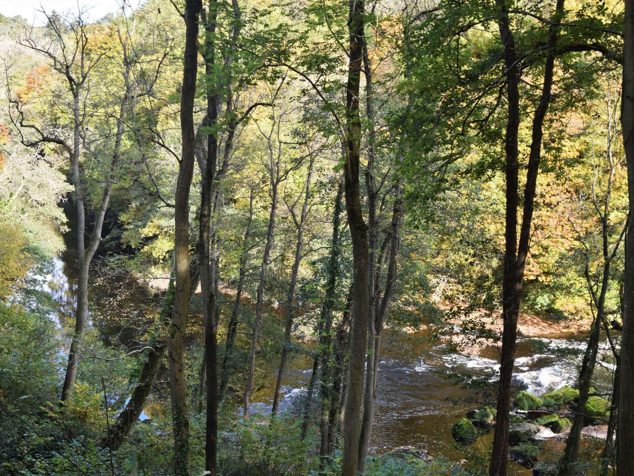
Hackfall and River Ure Circular Walk
Difficulty Rating:
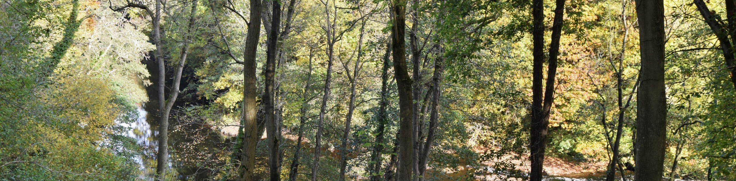
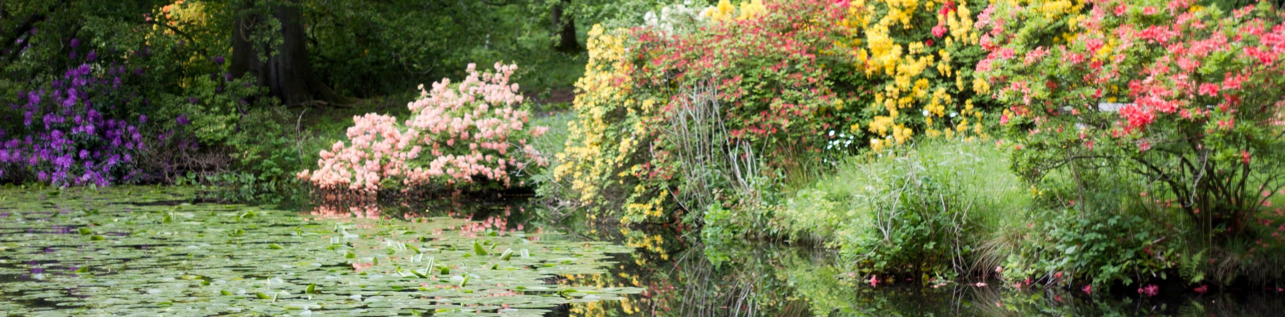
The Hackfall and River Ure Circular Walk is a magical journey that takes you through fairytale-like woodlands. Surrounding the deep green woods are rushing waterfalls, calm, quiet ponds and ancient castles. Take it up a notch and challenge yourself on this stunning walk teeming with rough terrain and uneven woodland flight steps.
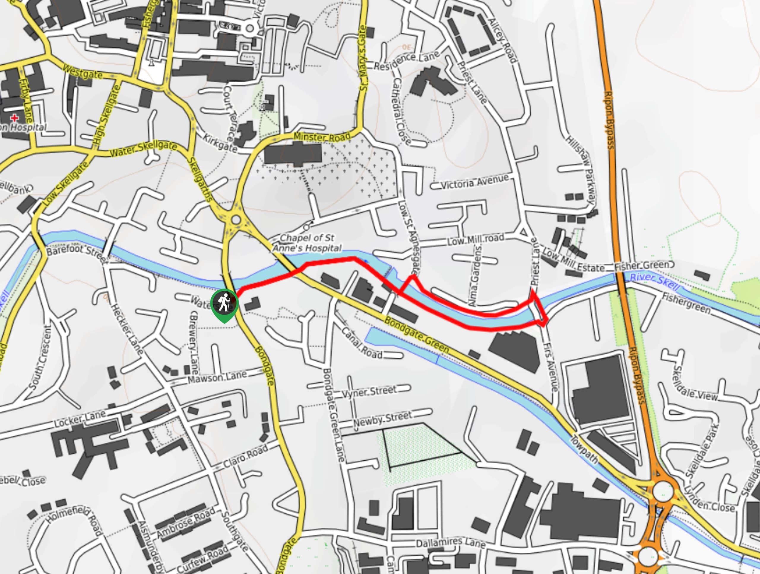
Getting there
To get to the Hackfall and River Ure Circular Walk from Masham, head south on Silver Street toward College Lane and Silver Street turns right and becomes Church Street. Church Street turns left and becomes Park Street, and you will continue onto Thorpe Road. In 2.3mi, you will arrive at your destination.

About
| When to do | May - September |
| Backcountry Campsites | No |
| Pets allowed | Yes - On Leash |
| Family friendly | No |
| Route Signage | Average |
| Crowd Levels | Moderate |
| Route Type | Lollipop |
Hackfall and River Ure Circular Walk
Elevation Graph
Weather
Hackfall and River Ure Walk Description
The Hackfall and River Ure Circular Walk is a captivating journey through a fairytale-like setting. Beginning at the car park, follow the path of trees along the path and continue until you reach the viewpoint. Take a moment to explore this area that showcases views of the River Ure and Masham Church and then head into the woodlands. Follow the path, and you will see a small beach that borders the River Ure which you can stop at for a quick visit. Moving along the path you will pass many interesting places such as the Grotto, which houses a 40ft waterfall, the Fountain Pond and the Rustic Temple. As you continue on your journey, you will pass Fisher’s Hall and find yourself at Hackfall path where the ground opens up into a gorge and has very steep areas.
You will begin to ascend to the top of Raven Scar, which has a very narrow and steep gorge below. Crossing a stream you will reach the steps of Mowbray Castle. Explore this area and then rejoin the path and continue along and you will reach stone steps which lead to a bridge over Top Pond. Moving on you will pass The Ruin, and then you will arrive back at the car park where you began as this is a circuit path.
Similar hikes to the Hackfall and River Ure Circular Walk hike
Ripon Riverside Walk
The Ripon Riverside Walk is a wonderful short but sweet glimpse into the English countryside. This family-friendly path hugs the…
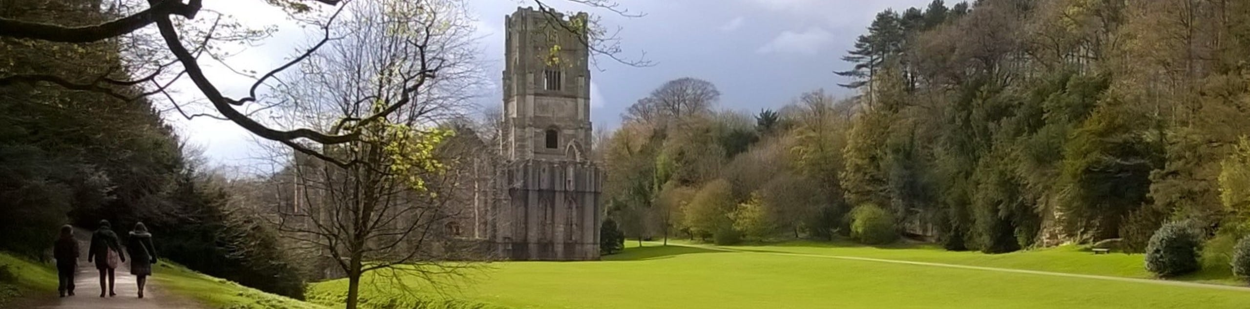
Fountains Abbey Circular Walk
The Fountains Abbey Circular Walk takes you on an amazing stroll that holds landscaped gardens that date back to the…
Swinton Park to Swinton Bivouac Walk
The Swinton Park to Swinton Bivouac Walk is an amazing mixture of many different elements. Head to Swinton Park to…
Comments