
Johns Creek Loop Hike
View Photos
Johns Creek Loop Hike
Difficulty Rating:
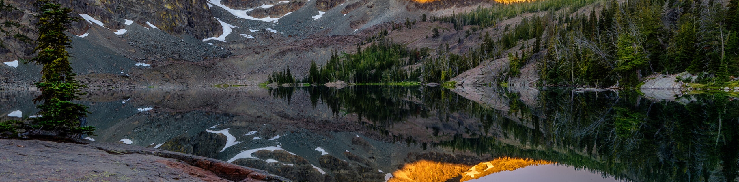
Immerse yourself in an old-growth forest along the Johns Creek Loop Hike. While this route is long, the incredible mountainous vistas and lush landscape are well worth the sweat. Indulge in the unassuming beauty of Idaho’s Nez Perce National Forest—you won’t regret it.
Getting there
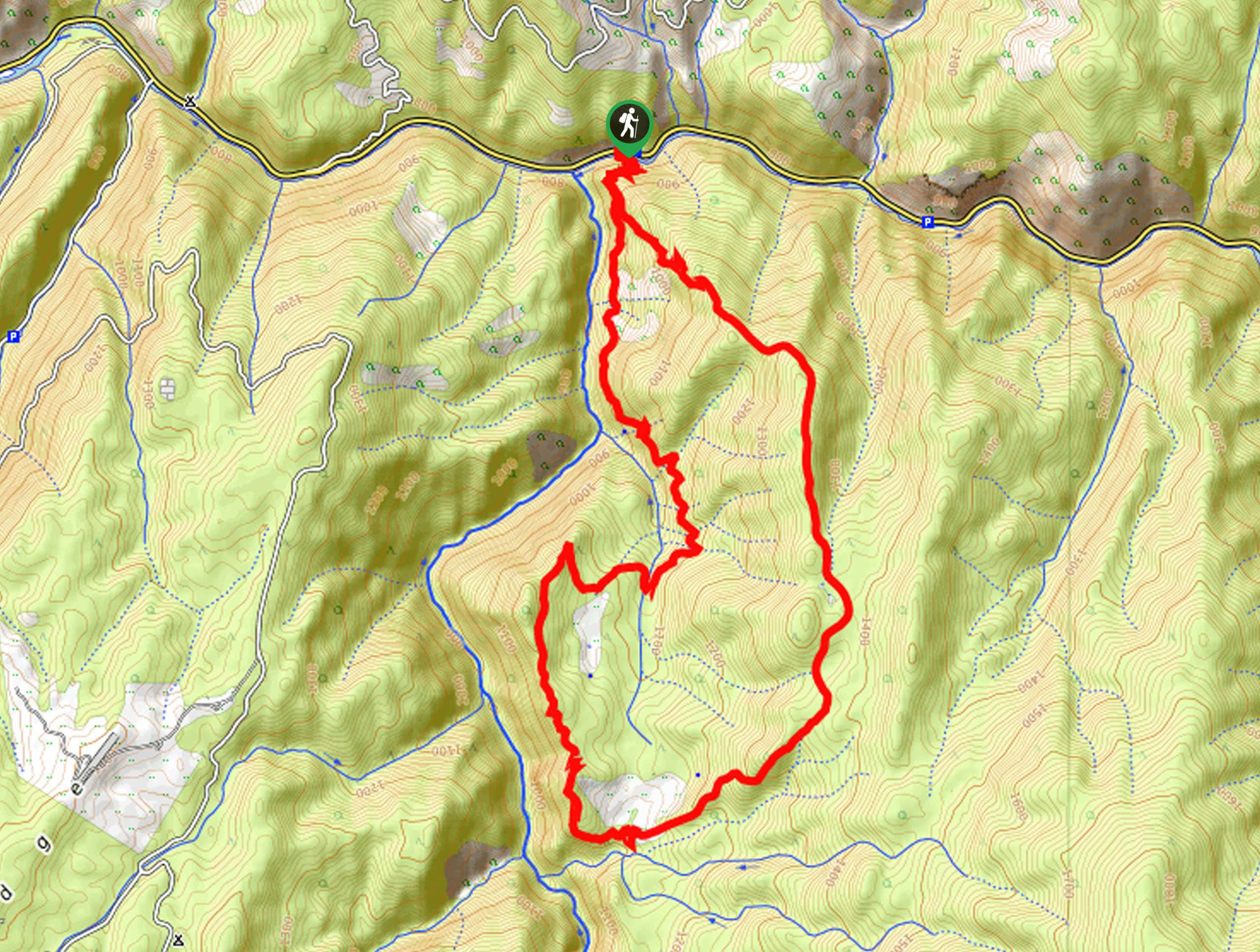
The Johns Creek Loop departs from the trailhead off State Highway 14.

About
| Backcountry Campground | Backcountry Camping |
| When to do | April-October |
| Pets allowed | Yes - On Leash |
| Family friendly | Older Children only |
| Route Signage | Average |
| Crowd Levels | Low |
| Route Type | Lollipop |
Johns Creek Loop Hike
Elevation Graph
Weather
Johns Creek Loop Hike Description
This pleasant adventure is beckoning your exploration—and ours! Explore the enchanting landscape adorned with lush vegetation and revel in the beauty and grandeur of the mountainous landscape. While this route is long, the terrain is tolerable for intermediate hikers—just pack plenty of water to stay hydrated. As will all sorts of wilderness exploration, it is important to be mindful of wildlife and maintain a safe distance in the case of an encounter.
From the trailhead, the Johns Creek Loop crosses the highway and the footbridge over the Clearwater River. After crossing the bridge, you will be confronted with an intersection, keep left, and you will be diverted onto the Snoose Creek Trail. Though you will reach another junction soon after, maintain along the Snoose Creek Trail, which contours the slopes of Blue Ridge towering above. Boasting great views of Johns Creek below, this lovely path will intersect with several seasonal streams before ultimately confronting a juncture with the Frank Brown Trail.
Turning left, the Frank Brown Trail will redirect you northeast. When you reach the appropriate intersection, you will merge onto the Blue Ridge Trail, tracking northwardly through the woodlands. Admire the mountainous landscape through the tree breaks, and you will ultimately reconnect with the Snoose Creek Trail. Beyond this point, you will simply retrace your footing along the route back to the railhead.
Similar hikes to the Johns Creek Loop Hike hike
Upper Cannon Lake Hike
The Upper Cannon Lake Hike is a long and involved adventure into the Seven Devils Mountains in the Nez Perce…
Cupboard Creek Trail
The Cupboard Creek Trail is a beautiful trail that leads intrepid adventurers into the Selway River Canyon. The wild character…
Sheep Lake Hike
The Sheep Lake Hike is a long and involved, arduous climb into the Seven Devils Mountain. While taxing, the conquerors…
Comments