Oak Inn Pub to Brockenhurst Walk
View Photos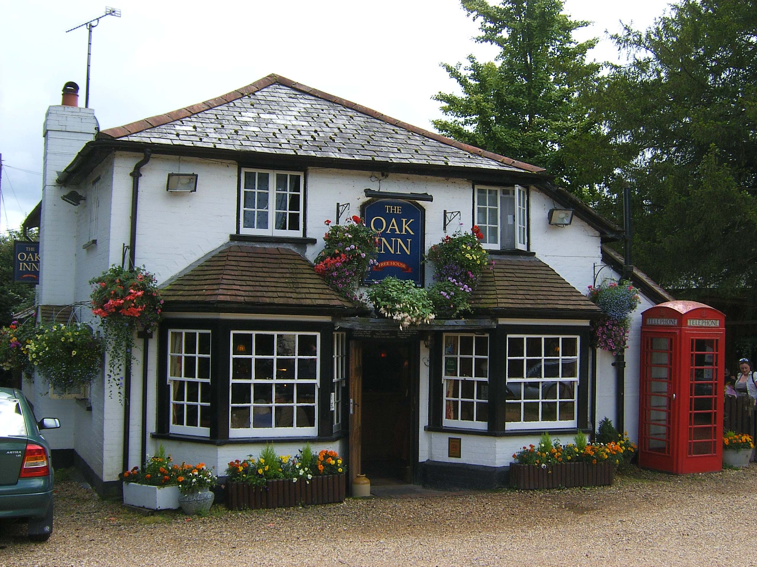
Oak Inn Pub to Brockenhurst Walk
Difficulty Rating:
This walk from The Oak Inn Pub to Brockenhurst is a lovely stroll through the New Forest, an easy addition to any day. The walk mostly follows wide cycling routes and country lanes, making navigation a cinch. Enjoy the trees and wildflowers that accompany your walk, with plenty of interesting attractions in Brockenhurst to discover.
Getting there
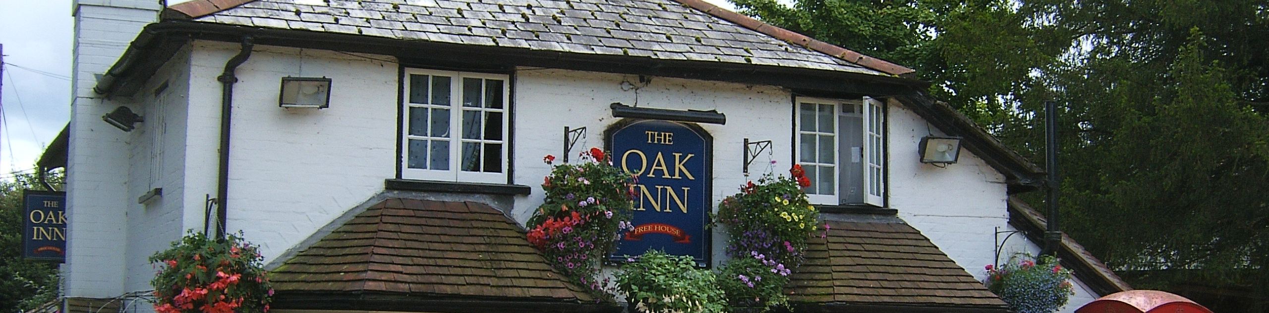
This walk starts at The Oak Inn, located just outside Lyndhurst. If driving, take the A35 west out of Lyndhurst and follow it south. After a little less than a kilometre, turn left onto Pinkney Lane, and stay left at the fork to arrive at the pub. There is parking adjacent to the building.

About
| When to do | Year-round |
| Backcountry Campsites | No |
| Pets allowed | Yes - On Leash |
| Family friendly | Yes |
| Route Signage | Average |
| Crowd Levels | Moderate |
| Route Type | One Way |
Oak Inn Pub to Brockenhurst Walk
Elevation Graph
Weather
Oak Inn Pub to Brockenhurst Walk Description
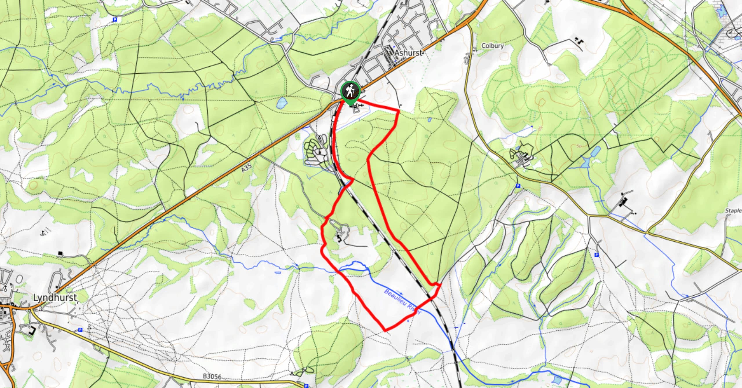
From the pub, set off south along Pinkney Lane. Stay left and follow the road as it bends to the east. You’ll pass a car park on your right with a number of paths leading from it. Shortly after this you’ll come to a track on your right – turn onto this and pass through a gate to follow this on a southeast bearing.
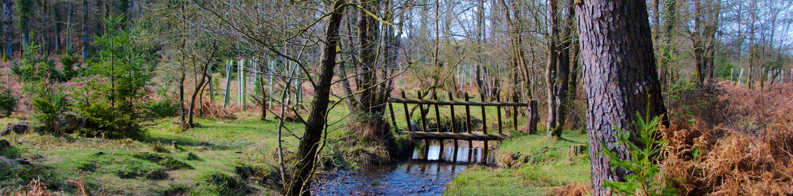
Stroll along this wide track through the forest, enjoying the serenity of the woods. A stream to your right precedes a passage through Butts Lawn. The track bends to the right, then comes to a junction, where you should stay left to continue south through another gate. You’ll cross another stream and walk through the Hursthill Inclosure. The track rounds to the left and arrives at a T-junction. Turn right, and cross the Lymington River over a long bridge.
The track then bends to the right as you walk along the edge of the Black Knowl, a flat open area. Pass through a gate to reach a road, with the entrance to the caravan area on your left. Follow the road down and left until it reaches the larger Rhinefield Rd. Carefully cross, then take the North Weirs road on your right. This loops around and brings you onto Burley Road. Turn left, and you’re in the middle of Brockenhurst!
Take plenty of time to explore this lovely village at your leisure. When you’re ready to head back, you have a few options. If you’re keen for more walking, you can retrace your steps and walk back the way you came. Alternatively, the Bluestar 6 bus will take you back up to Lyndhurst, from where it’s a short walk to the Oak Inn pub.
Insider Hints
Many people start this walk from Brockenhurst and choose the Oak Inn as their main destination. This is especially popular during Sundays as the Oak serves a great Sunday lunch. Please note that it gets extremely busy, especially during the weekends and the pub is fairly small.
Similar hikes to the Oak Inn Pub to Brockenhurst Walk hike
Ashurst to Deerleap Walk
The Ashurst to Deerleap Walk makes for a fun family outing due to the gentle elevation gain and lovely moorland…
Bolderwood to Knightwood Oak Walk
The Bolderwood to Knightwood Oak Walk makes for a great option if you’re craving moody forest scenery with the potential…
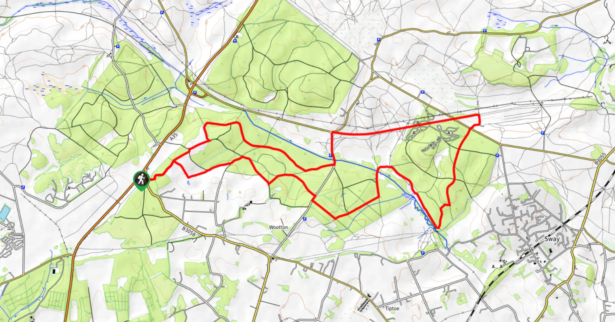
Burley and Sway Walk
The Burley and Sway Walk meanders along varied terrain, ranging from gravel and grass tracks, stream crossings, and muddy conditions.…
Comments