
Landford and Hamptworth Walk
View Photos
Landford and Hamptworth Walk
Difficulty Rating:
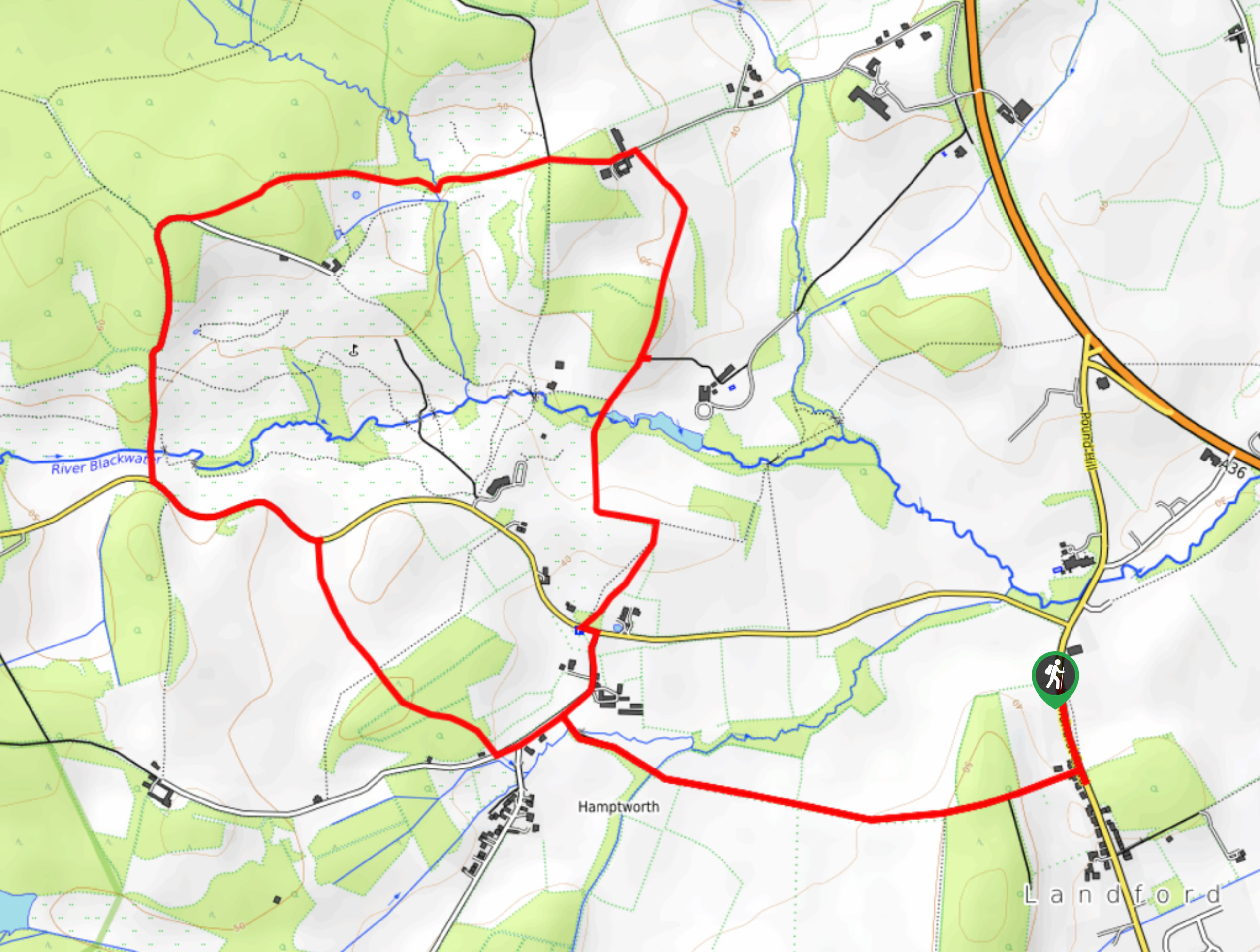
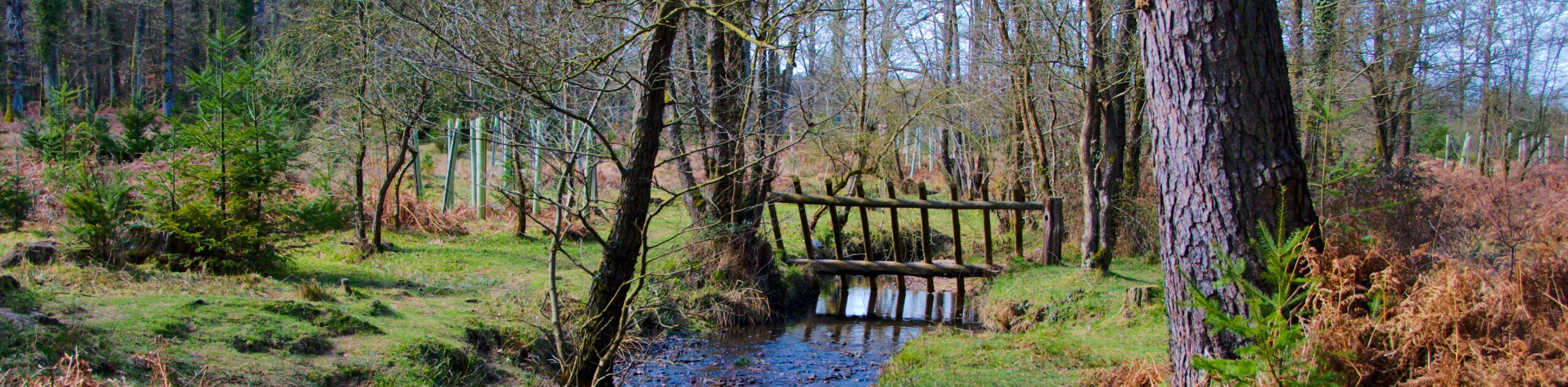
This pleasant walk from Landford through Hamptworth and back is a lovely option for a short stroll. The first section follows a wooded track and grassy paths up through fields and forests towards the Hamptworth Golf & Country Club. Stroll through the southern edge of the Langley Wood National Nature Reserve, then follow a well-signed path south along fields and over rivers back to the track you came in on. A nice mix of scenery to enjoy on this circular walk.
Getting there
To start the Landford and Hamptworth walk, make your way to the bus stop along Lyndhurst Road opposite the Methodist Chapel (after which the bus stop takes its name). Parking may be found a bit further south in the center of Landford village. If you’re walking north from Landford and reach Hamptworth Road, you’ve gone too far.

About
| When to do | Year-round |
| Backcountry Campsites | No |
| Pets allowed | Yes - On Leash |
| Family friendly | Yes |
| Route Signage | Average |
| Crowd Levels | Moderate |
| Route Type | Lollipop |
Landford and Hamptworth Walk
Elevation Graph
Weather
Landford and Hamptworth Walk Description
From the bus stop, turn left to cross the road and head west along a track with houses on either side. After a little over a kilometre, you’ll reach a river that needs crossing – a small path on your right leads to a footbridge. Rejoin the main path which right away intersects with Lyburn Road. Turn left here, then when the road presents a left fork after roughly 492ft, turn right instead and follow a grassy path on a northwest bearing through the woods. The path leads out of the woods and through a gate towards Hamptworth Road. Clamber over a stile and turn left, following the road as it winds to the west. After about 1312ft, you’ll spot Cole’s Lane branching off to the right – turn and walk along this as it ascends with the Hamptworth golf course on your right.
Continue past the first entrance to the Langley Wood National Nature Reserve as the lane curves to the right, then take the second entrance which splits off the lane to the left. Head through the gate and stroll along the grassy path, a yellow footpath arrow pointing your way east. This crosses over a stream before coming to a junction of paths. Turn right and pass through a wide gate (keep your eyes out for the yellow dot), following the field’s edge as you head south. The path turns left just after crossing a river, then right after 656ft to cross the river again. It bends to the left once more, and after 492ft, turn right to cross a field on a southwest bearing until you reach Hamptworth Road, The Cuckoo Inn on your right. Cross the road and walk along Lyburn Road, which soon meets up with the initial track you came in on. Turn left and follow this back to the bus stop you started from.
Similar hikes to the Landford and Hamptworth Walk hike
Ashurst to Deerleap Walk
The Ashurst to Deerleap Walk makes for a fun family outing due to the gentle elevation gain and lovely moorland…
Bolderwood to Knightwood Oak Walk
The Bolderwood to Knightwood Oak Walk makes for a great option if you’re craving moody forest scenery with the potential…
Burley and Sway Walk
The Burley and Sway Walk meanders along varied terrain, ranging from gravel and grass tracks, stream crossings, and muddy conditions.…
Comments