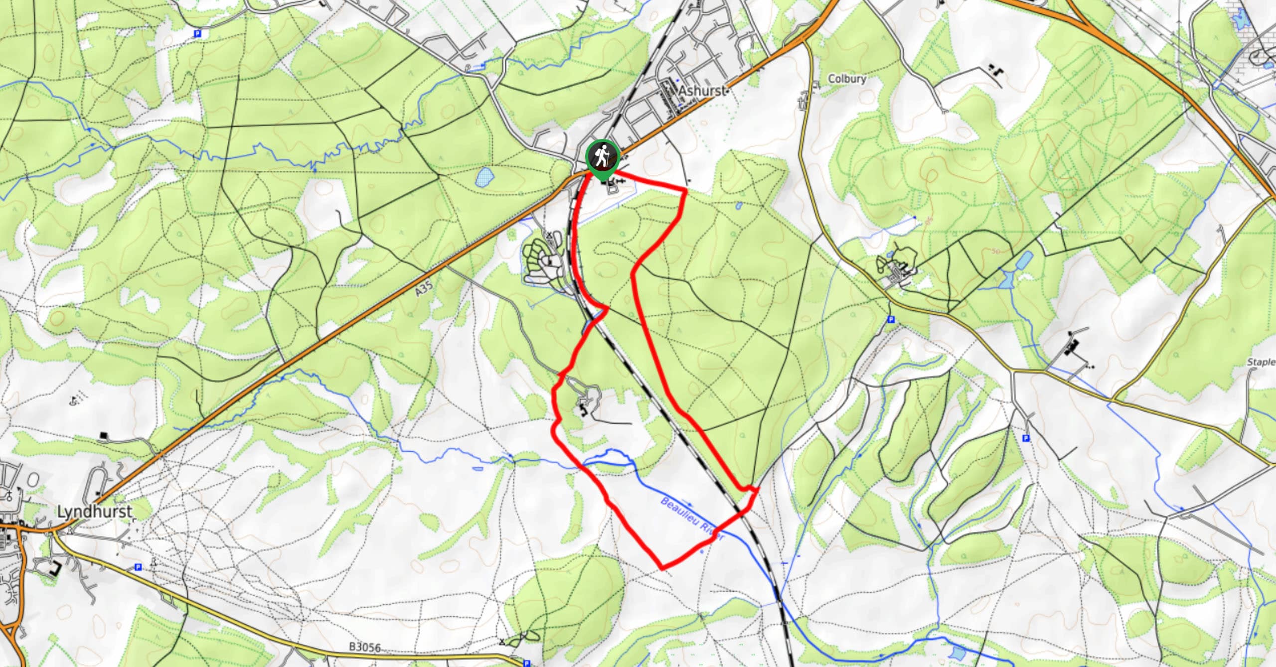
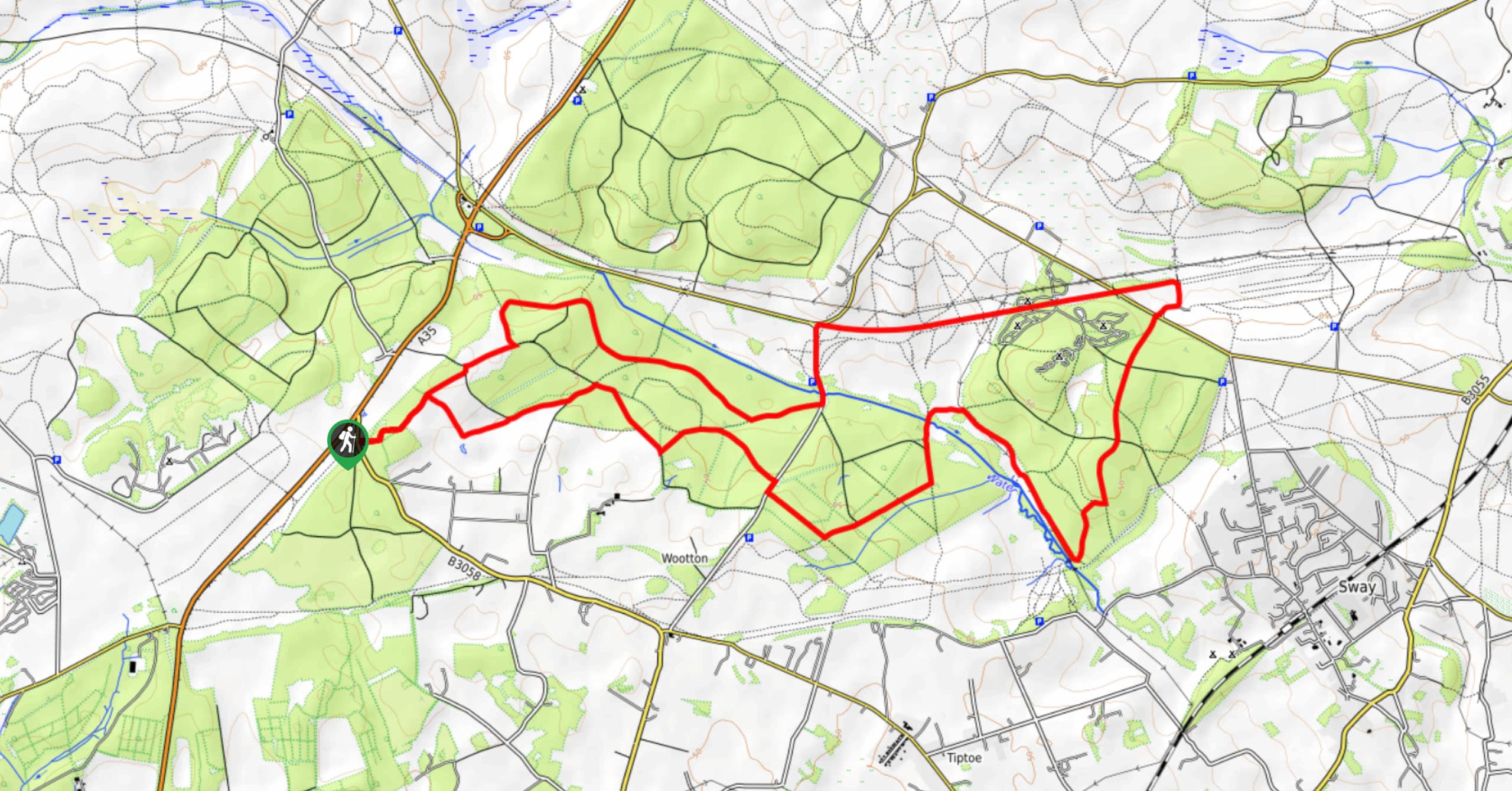
Fritham Extended Circular Walk
View Photos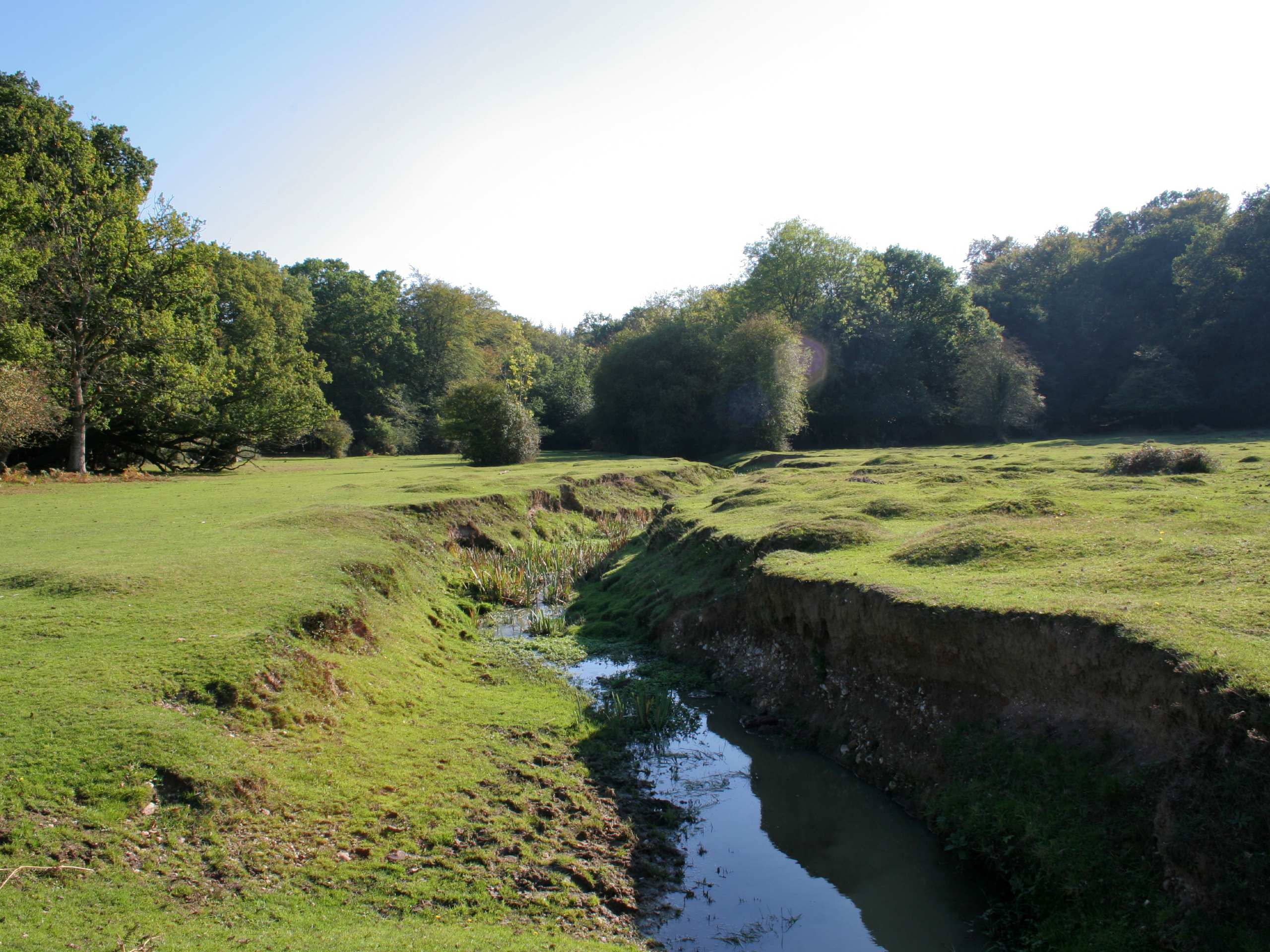
Fritham Extended Circular Walk
Difficulty Rating:
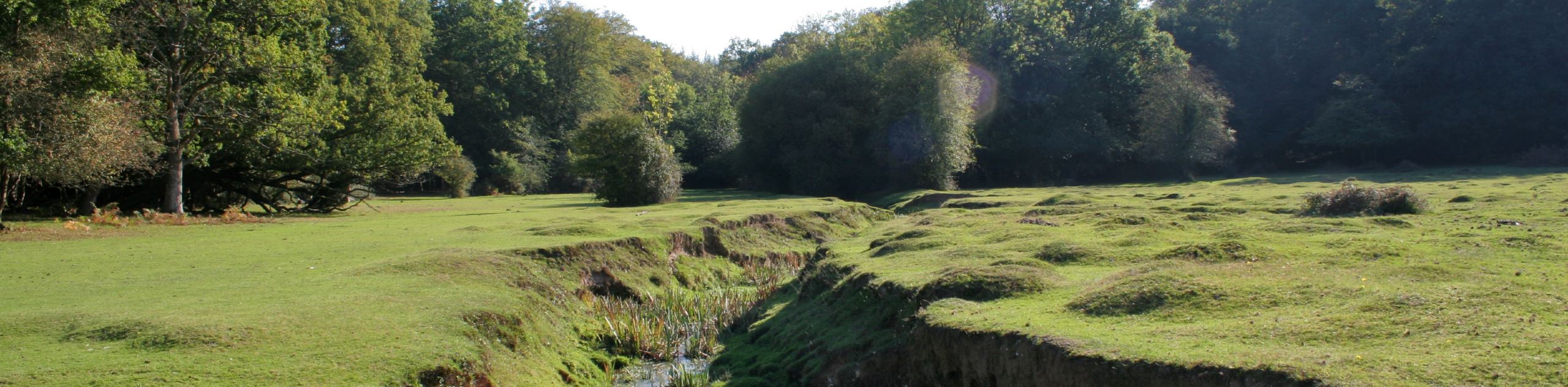
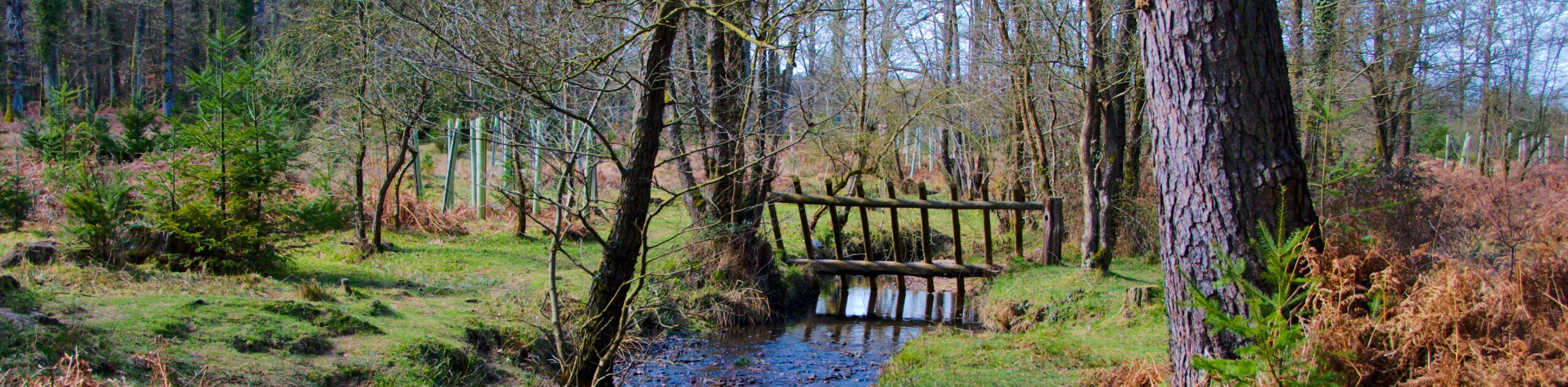
The Fritham Extended Circular Walk winds through mostly open areas along non-technical terrain that doesn’t gain too much elevation, making this a great walk for anyone looking to get outside and walk for a half-day without too much exertion. The path can get muddy during the wetter months but is still navigable—just ensure you wear appropriate footwear!
Getting there
To get to the start of the Fritham Extended Circular Walk, head to Fritham and just past The Royal Oak, you’ll take a left to find parking.

About
| When to do | Year-round |
| Backcountry Campsites | No |
| Pets allowed | Yes - On Leash |
| Family friendly | Older Children only |
| Route Signage | Average |
| Crowd Levels | Moderate |
| Route Type | Circuit |
Fritham Extended Circular Walk
Elevation Graph
Weather
Fritham Extended Circular Walk Description
The Fritham Extended Circular Walk winds through lovely open fields, where you may encounter some livestock en route! There are some bird-watching opportunities along this walk as well. On the flip side, there is a slim chance you’ll spot a snake! If you plan on doing this during the wetter months, come prepared for mud. However, the gravel terrain may ease the trouble of walking through boggy areas. Setting out from your car, you’ll start your loop by going right to head through a mixture of open spaces and wooded areas.
Similar hikes to the Fritham Extended Circular Walk hike
Ashurst to Deerleap Walk
The Ashurst to Deerleap Walk makes for a fun family outing due to the gentle elevation gain and lovely moorland…
Bolderwood to Knightwood Oak Walk
The Bolderwood to Knightwood Oak Walk makes for a great option if you’re craving moody forest scenery with the potential…
Burley and Sway Walk
The Burley and Sway Walk meanders along varied terrain, ranging from gravel and grass tracks, stream crossings, and muddy conditions.…
Comments