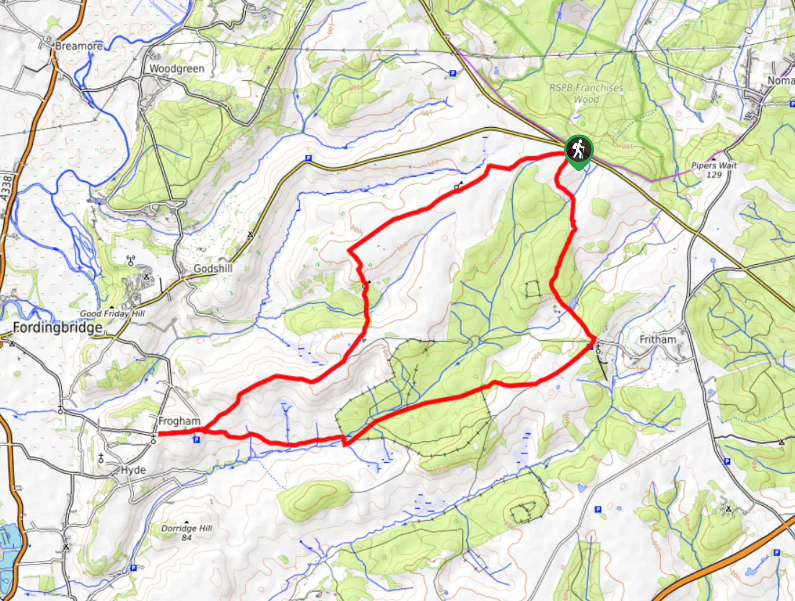
Bramshaw to Frogham Walk
View Photos
Bramshaw to Frogham Walk
Difficulty Rating:
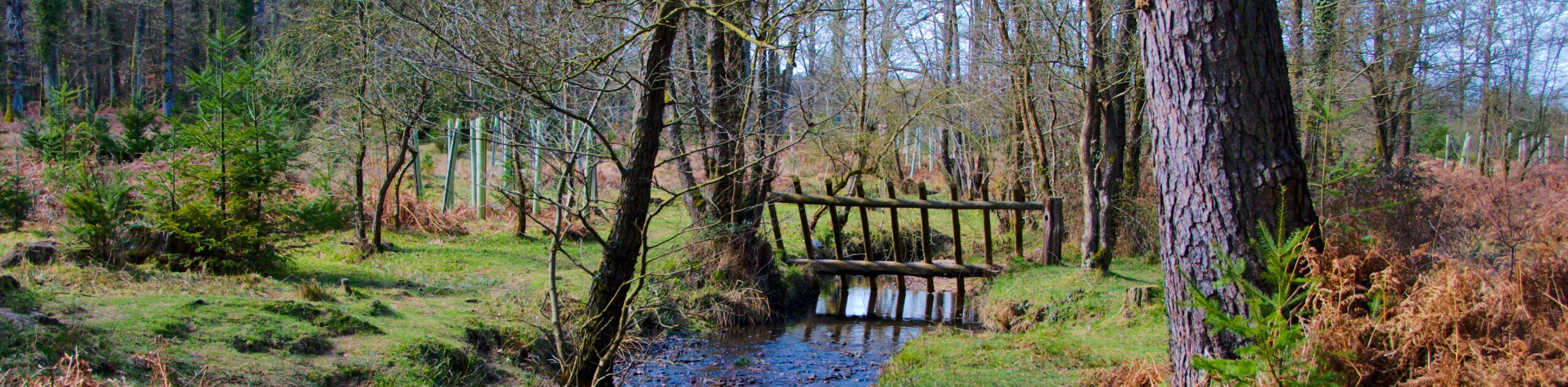
The Bramshaw to Frogham Walk winds through woodland and heaths while unveiling stunning views of New Forest National Park. Despite some stream crossings, this walk boasts gentle terrain, especially during the warmer months. However, some areas may get muddy during wetter periods, making it essential to bring the appropriate footwear.
Getting there
To get to the start of the Bramshaw to Frogham Walk, head to the B3708 and turn left to park in Telegraph Hill by Roger Penny Way.

About
| When to do | April-October |
| Backcountry Campsites | No |
| Pets allowed | Yes - On Leash |
| Family friendly | Older Children only |
| Route Signage | Average |
| Crowd Levels | Moderate |
| Route Type | Lollipop |
Bramshaw to Frogham Walk
Elevation Graph
Weather
Bramshaw to Frogham Walk Description
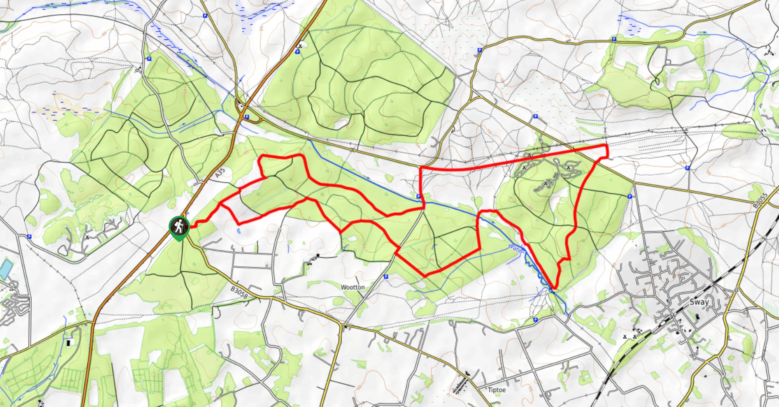
The Bramshaw to Frogham Walk may be a more extended excursion, but the easy-to-navigate terrain and mixture of settings help the 11.5mi length feel short. Setting out from the car park, you’ll follow Abbotswell Road toward the start of the circuit portion of this route. When you reach a Y-Junction, you’ll head right. Revel in the views of the New Forest as you make your way around the loop, passing by heaths and woodland. When you reach the starting point of the circuit, you’ll head back to Abbotswell Road towards your car to complete the lollipop route. This is a dog-friendly walk, and older children may attempt it if they can handle the length!
Similar hikes to the Bramshaw to Frogham Walk hike
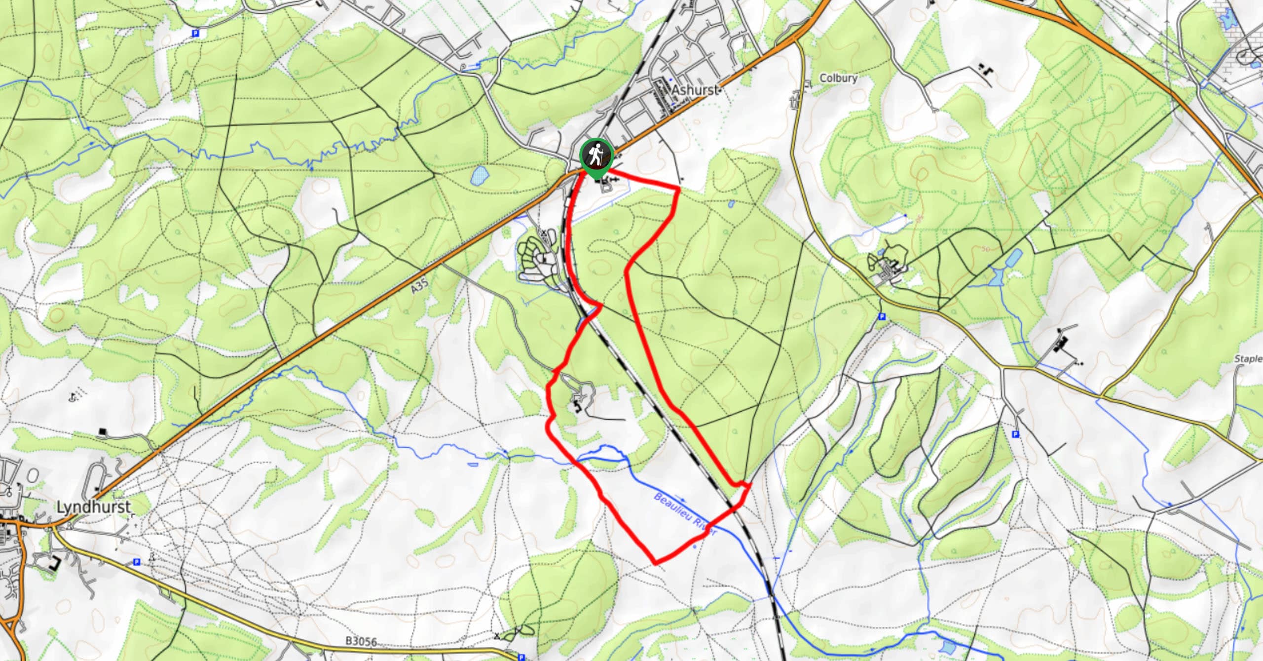
Ashurst to Deerleap Walk
The Ashurst to Deerleap Walk makes for a fun family outing due to the gentle elevation gain and lovely moorland…
Bolderwood to Knightwood Oak Walk
The Bolderwood to Knightwood Oak Walk makes for a great option if you’re craving moody forest scenery with the potential…
Burley and Sway Walk
The Burley and Sway Walk meanders along varied terrain, ranging from gravel and grass tracks, stream crossings, and muddy conditions.…
Comments