Chemainus River Estuary Hike
View Photos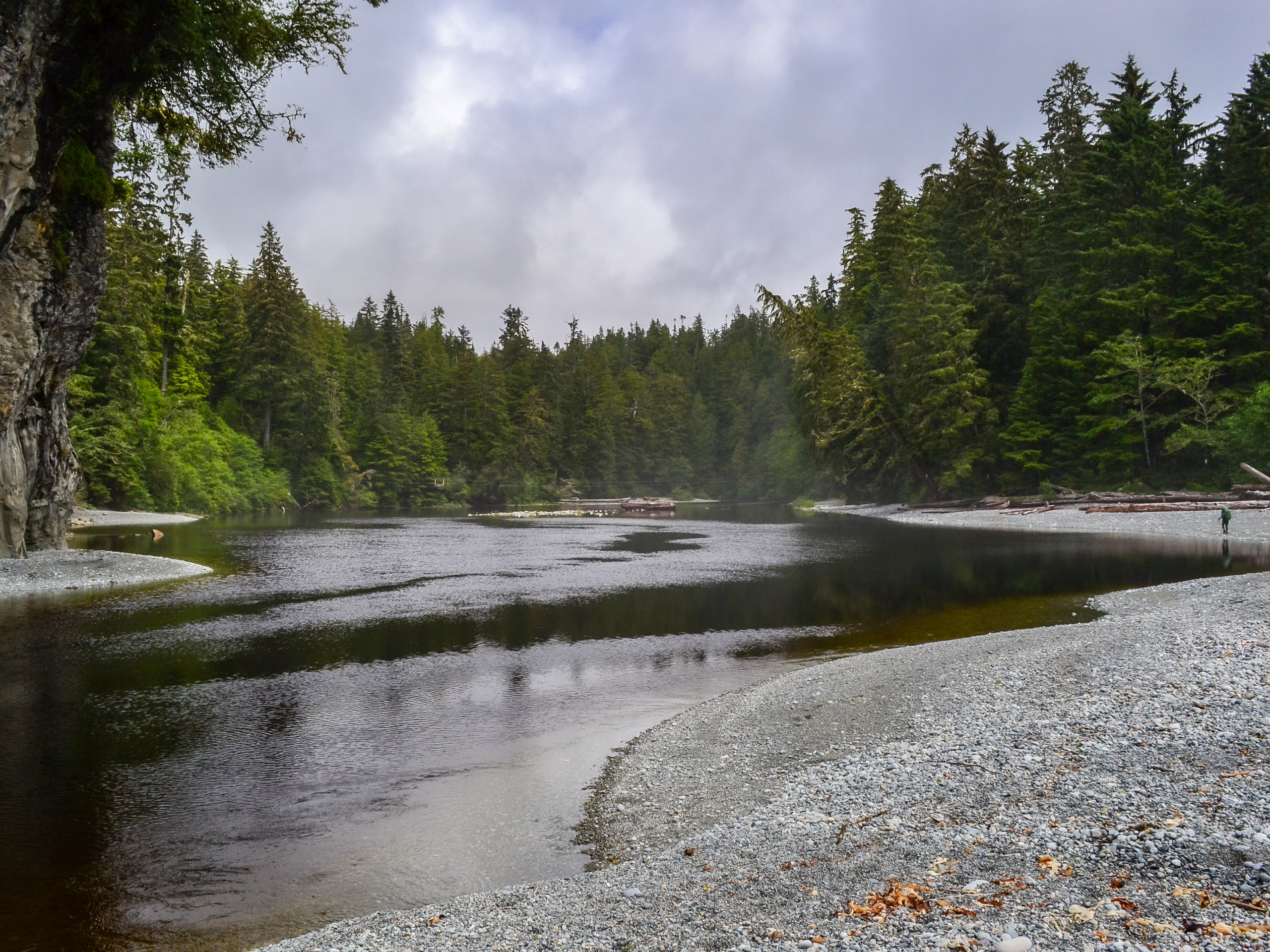
Chemainus River Estuary Hike
Difficulty Rating:
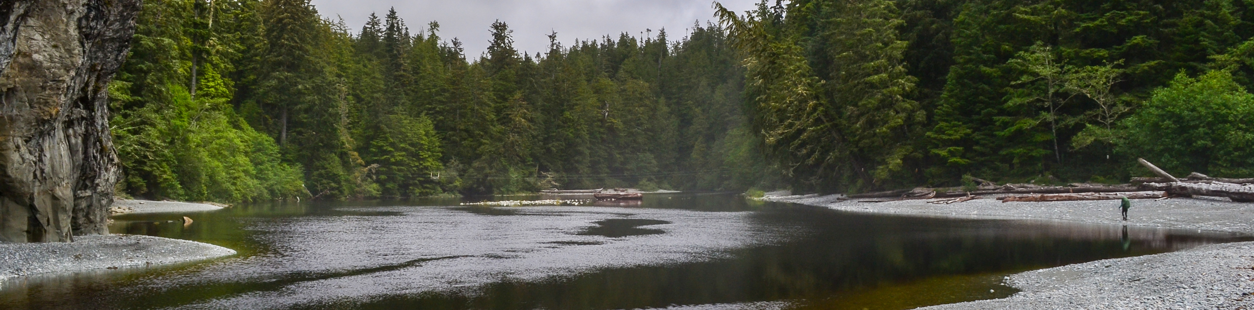
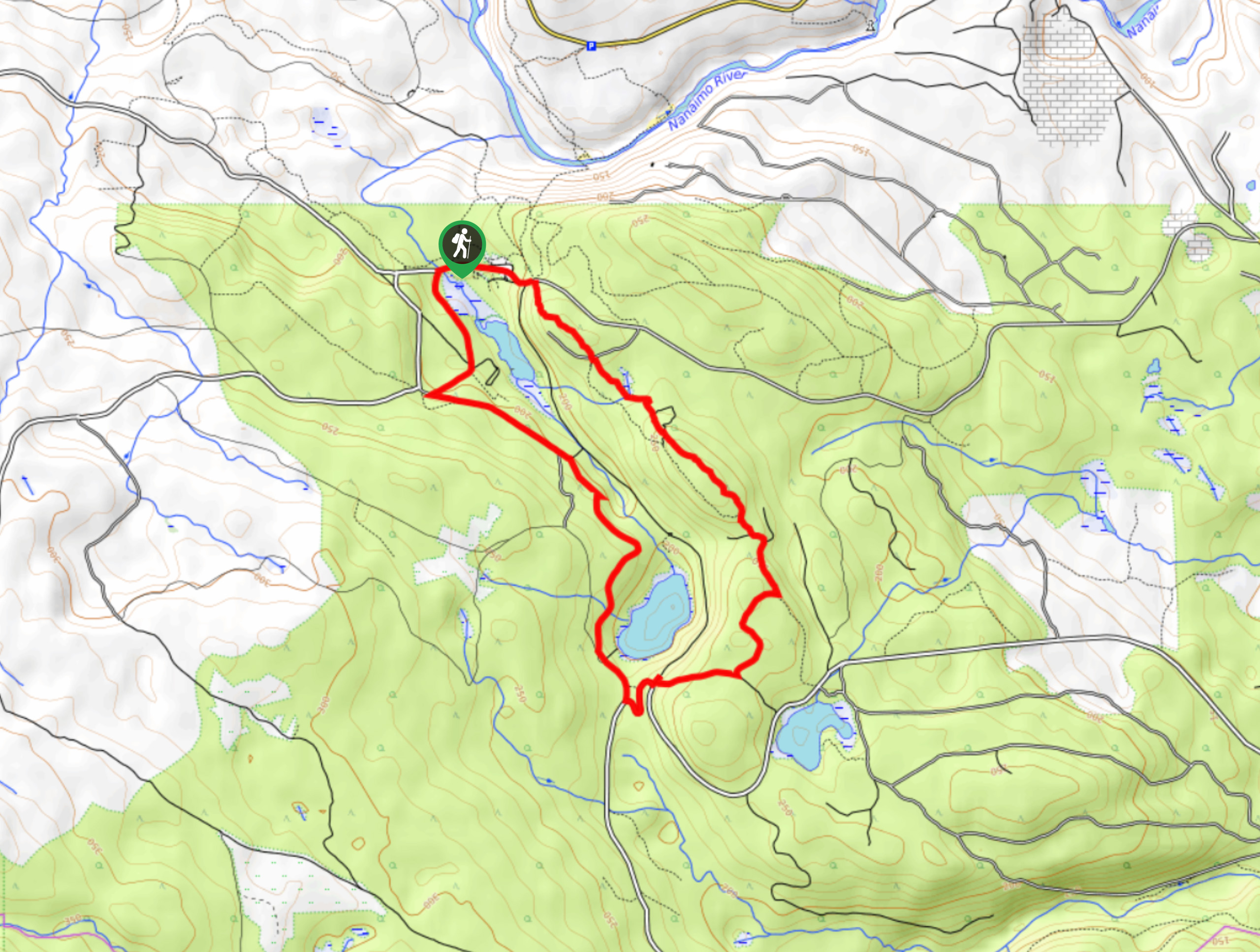
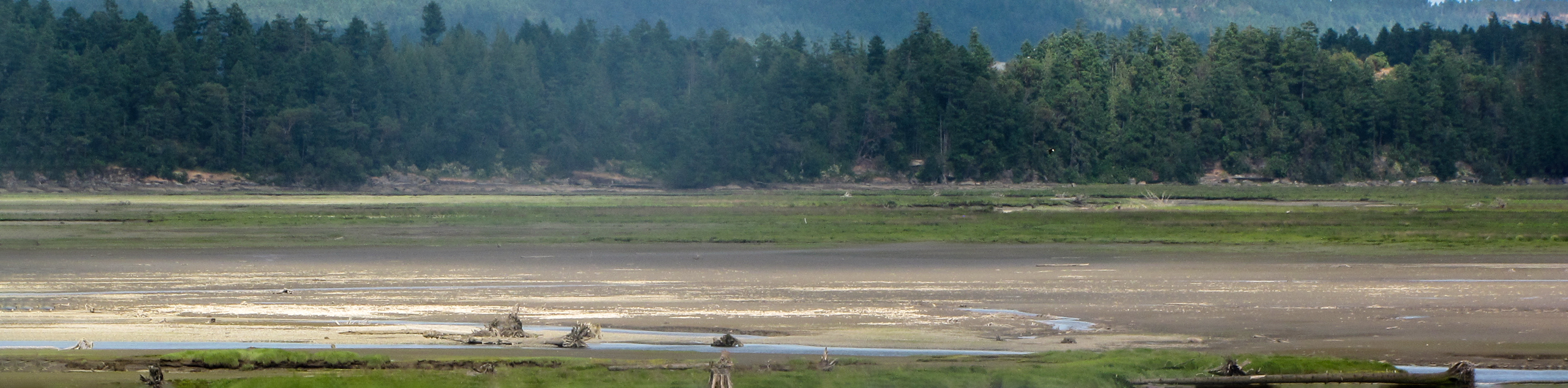
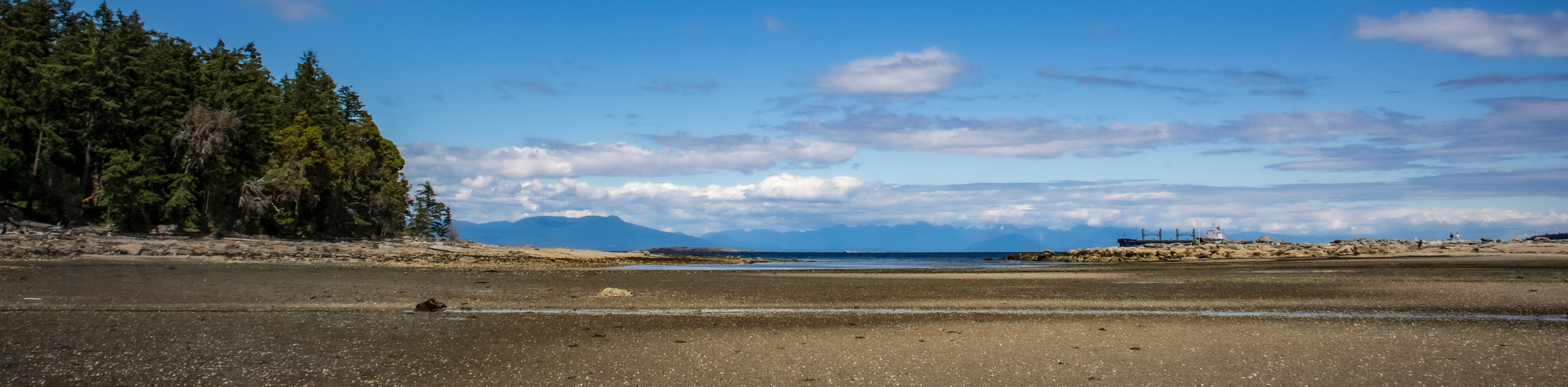
The Chemainus River Estuary Trail is a 1.7mi out-and-back hiking route south of Nanaimo, BC, that traverses the wetland terrain where the Chemainus River meets the east coast of Vancouver Island. Along the trail, you will pass by scenic farmland, beautiful forests, and of course, the wetlands that are home to countless wildlife species in the area. With flat and easy-to-navigate trails, this route is perfect for hikers of all skill levels to relax and explore this unique coastal environment.
Getting there
To reach the Chemainus River Estuary trailhead from Duncan, head north on BC-1 for 6.8mi and turn right onto Mount Sticker Road, following it for 2133ft. Turn left onto Chemainus Road and continue on for 1.1mi before turning right on Swallowfield Road. You will arrive at the trailhead in 722ft.

About
| When to do | April-December |
| Backcountry Campsites | No |
| Pets allowed | Yes - On Leash |
| Family friendly | Yes |
| Route Signage | Average |
| Crowd Levels | Moderate |
| Route Type | Out and back |
Chemainus River Estuary Hike
Elevation Graph
Weather
Chemainus River Estuary Hike Description
With such a unique variation in terrain for an area right on the coast, the Chemainus River Estuary is the perfect place for a fun, family-friendly adventure near Nanaimo. Setting out from the parking area, make your way along the trail to the northeast and take in the views of the farmland on your left and the forests on your right. From here, you will pass by countless blackberry bushes, as well as massive maple, fir, and cottonwood trees. Continue further along the trail as it begins to run alongside the Chemainus River at a spot that is popular with fisherman and birdwatchers. Once you have reached the end of the trail, turn back and retrace your steps through this lovely landscape to return to the parking area where you began your hike.
Similar hikes to the Chemainus River Estuary Hike hike
Crystal and McKay Lakes Loop Trail
The Crystal and McKay Lakes Loop Trail is a 4.1mi hiking circuit southwest of Nanaimo that winds through…
Living Forest River Walk
The Living Forest River Walk is a wonderfully scenic out-and-back trail in Nanaimo that will take you along the edge…
Newcastle Island Bates Trail
The Newcastle Island Bates Trail is a 6.4mi lollipop hiking route just off the coast of Nanaimo, BC,…
Comments