Bald Mountain
View Photos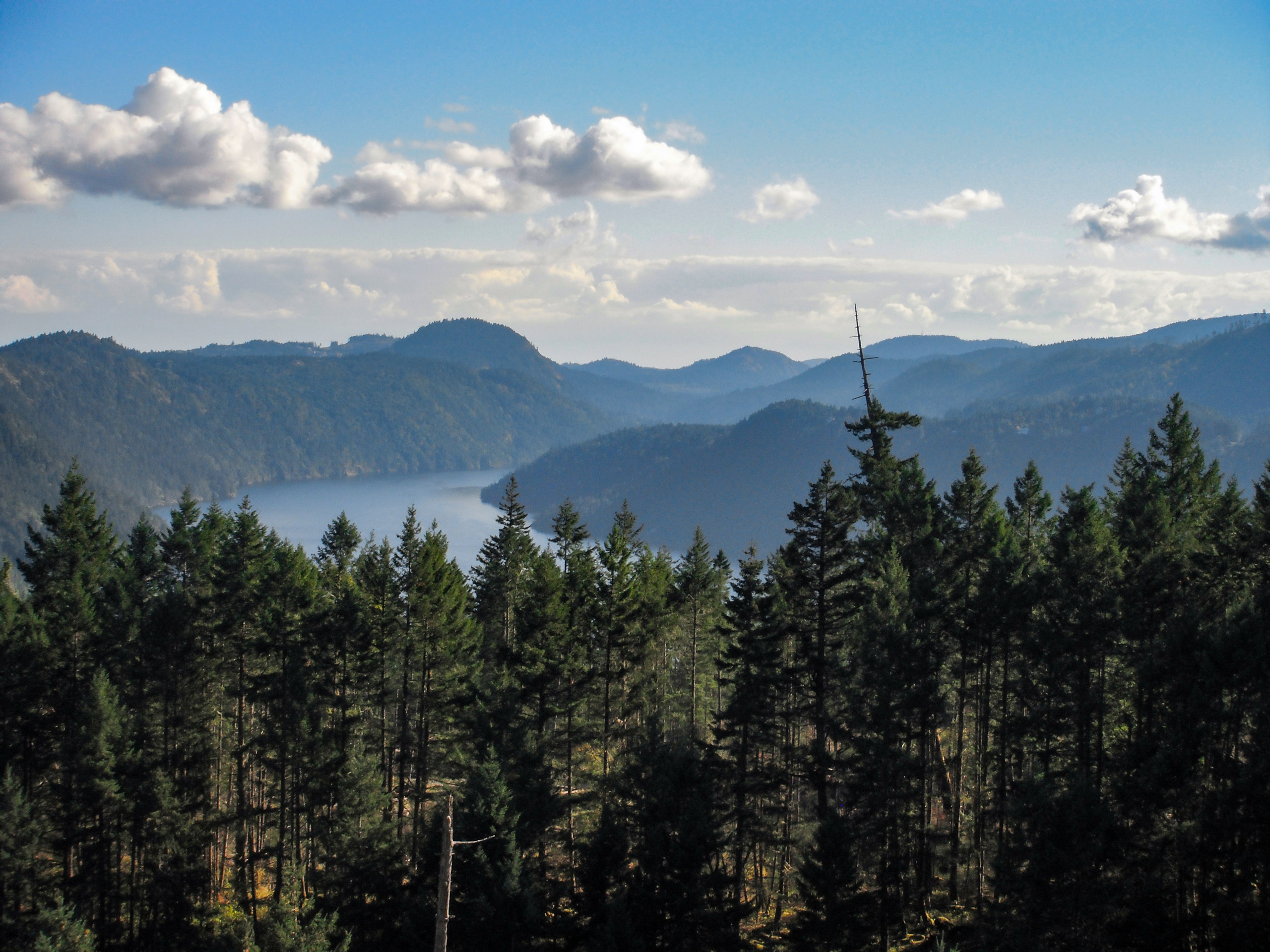
Bald Mountain
Difficulty Rating:
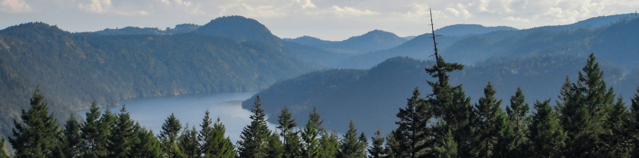
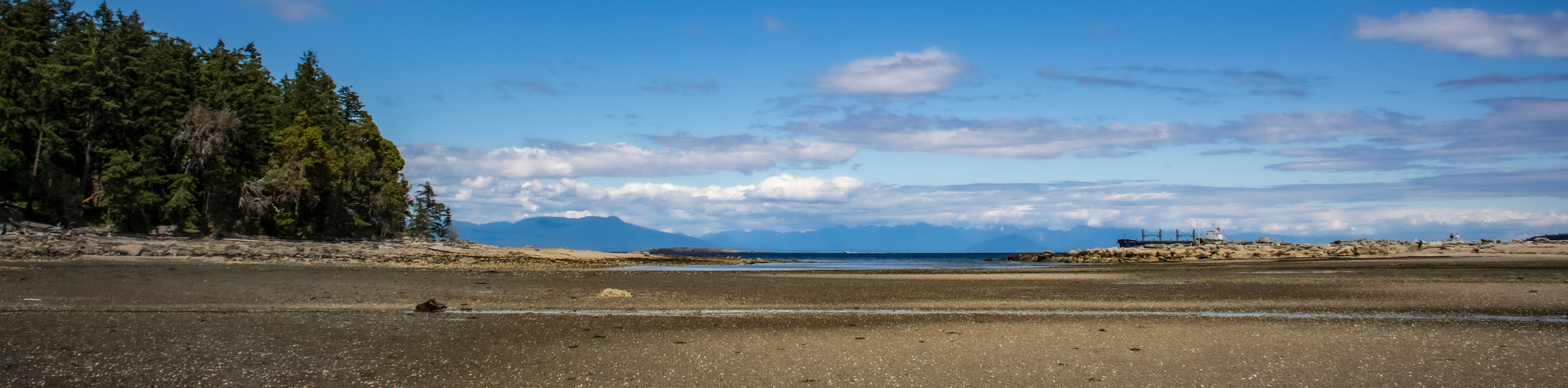
The trek up Bald Mountain is a 6.5mi out-and-back hiking route near Duncan, BC, that will lead you up to the summit for some nice views overlooking Cowichan Lake. The initial 1.2mi of the trail follows a well-maintained path up to a vista; however, continuing further up to the summit will require hikers to navigate an overgrown stretch of trail. Expect plenty of switchbacks up the mountainside and some breathtaking views across the rugged Vancouver Island landscape.
Getting there
To get to the Bald Mountain trailhead from Lake Cowichan, head west on Youbou Road for 2.3mi and turn left on North Shore Road. After 1969ft, turn right onto Meades Creek Road and follow it for 1.1mi. Turn left onto Marble Bay Road and after 1.5mi, you will find the parking area on the right.

About
| When to do | May-October |
| Backcountry Campsites | No |
| Pets allowed | Yes - On Leash |
| Family friendly | Older Children only |
| Route Signage | Average |
| Crowd Levels | Moderate |
| Route Type | Out and back |
Bald Mountain
Elevation Graph
Weather
Bald Mountain Description
While the upper portion of the Bald Mountain trail is a bit rugged and overgrown, it adds a bit more of a sense of adventure as you work your way uphill towards the amazing vista atop the mountain. If you plan on heading to the summit, make sure to wear proper hiking footwear and prepare for a bit of light bushwhacking, but don’t worry about bringing a GPS or trail map, as the route is still fairly well marked right up to the top.
Setting out from the parking area, follow the trail to the east as it skirts along the edge of a wetland area to your right before turning back towards the west to begin the climb up the hillside. Here, the trail will begin to traverse a series of switchbacks that pass through a stretch of light tree cover as you gain some elevation along the route. Continue uphill until you reach the top of the ridge and enjoy the amazing views of the surrounding area before making your way along the unmaintained portion of the hike. Push through the overgrown brush and follow along the trail markers until you arrive at the vista atop the summit of Bald Mountain. From here, you will have a spectacular view overlooking Cowichan Lake and the rugged landscape of Vancouver Island. After taking in the views, head back down the trail to return to the parking area below.
Similar hikes to the Bald Mountain hike
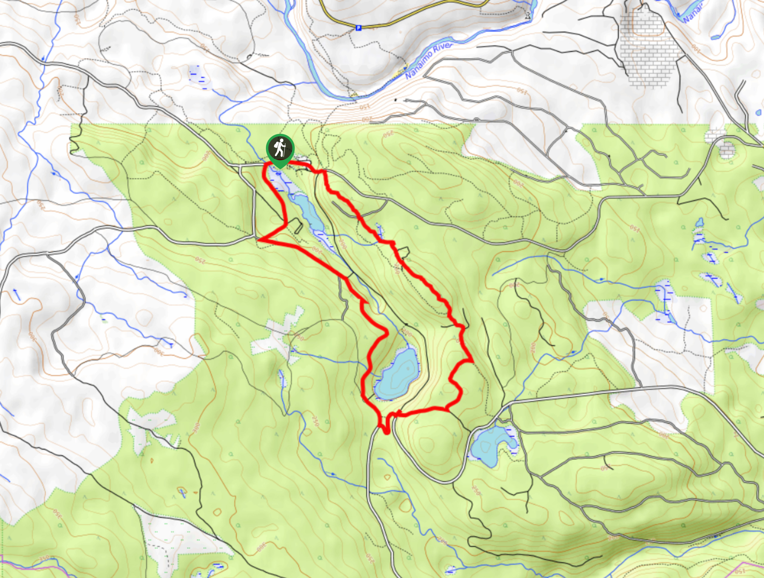
Crystal and McKay Lakes Loop Trail
The Crystal and McKay Lakes Loop Trail is a 4.1mi hiking circuit southwest of Nanaimo that winds through…
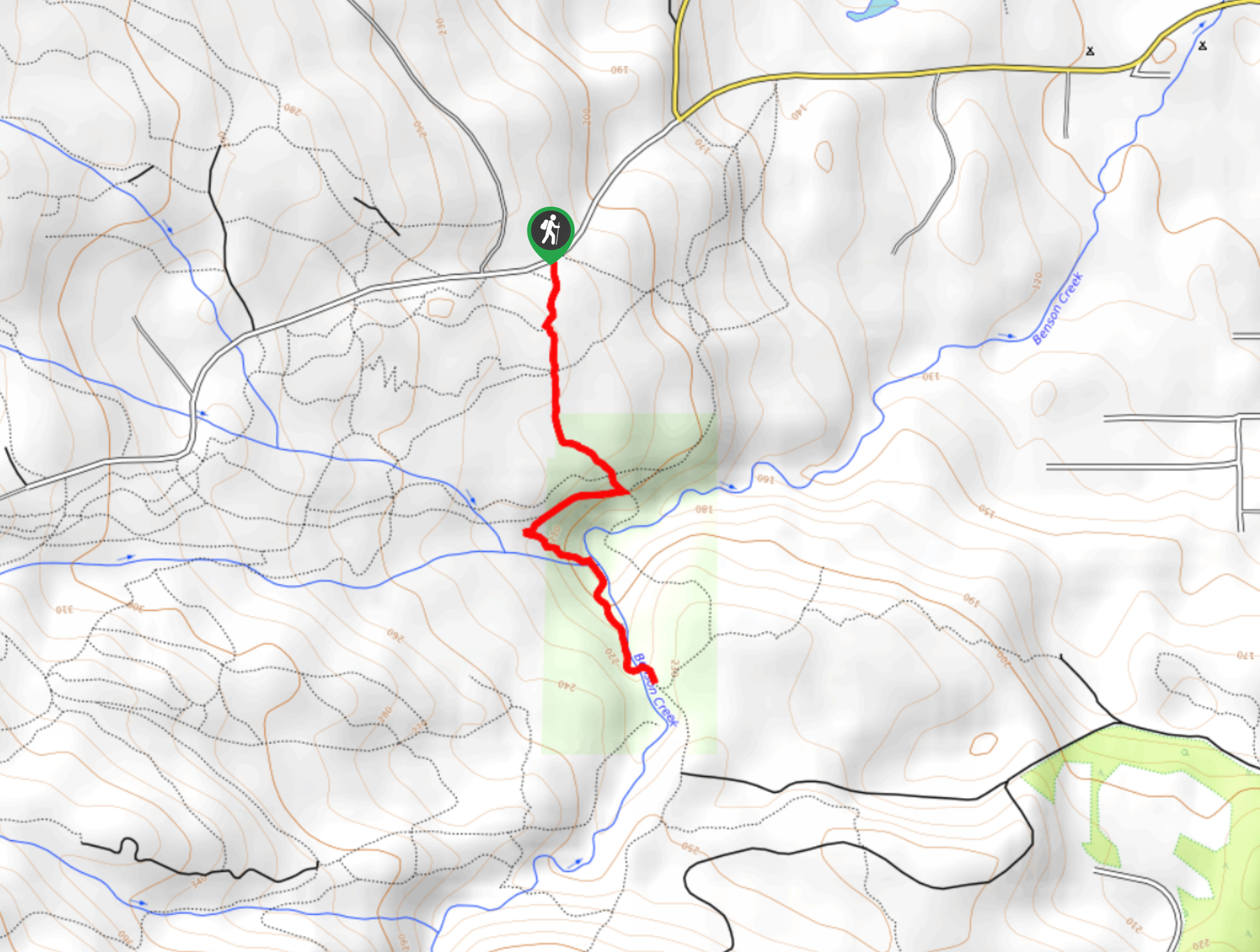
Benson Creek Falls Trail
The Benson Creek Falls trail is a 1.8mi out-and-back hiking route near Nanaimo, BC, that will lead you…
Newcastle Island Bates Trail
The Newcastle Island Bates Trail is a 6.4mi lollipop hiking route just off the coast of Nanaimo, BC,…
Comments