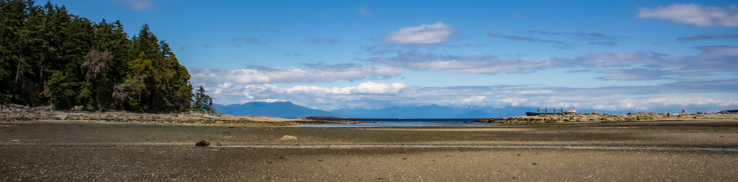
Ammonite Falls Regional Trail
View Photos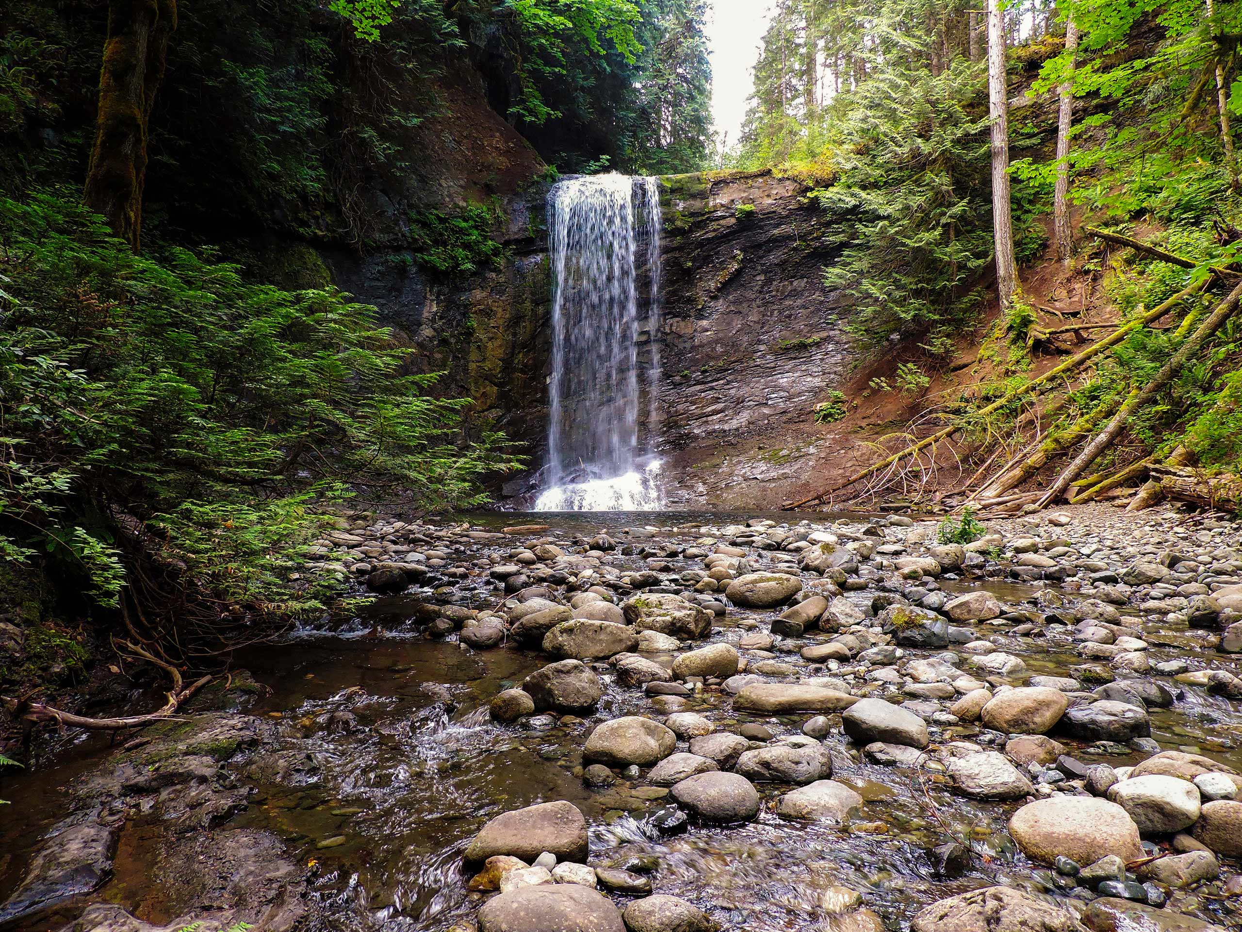
Ammonite Falls Regional Trail
Difficulty Rating:
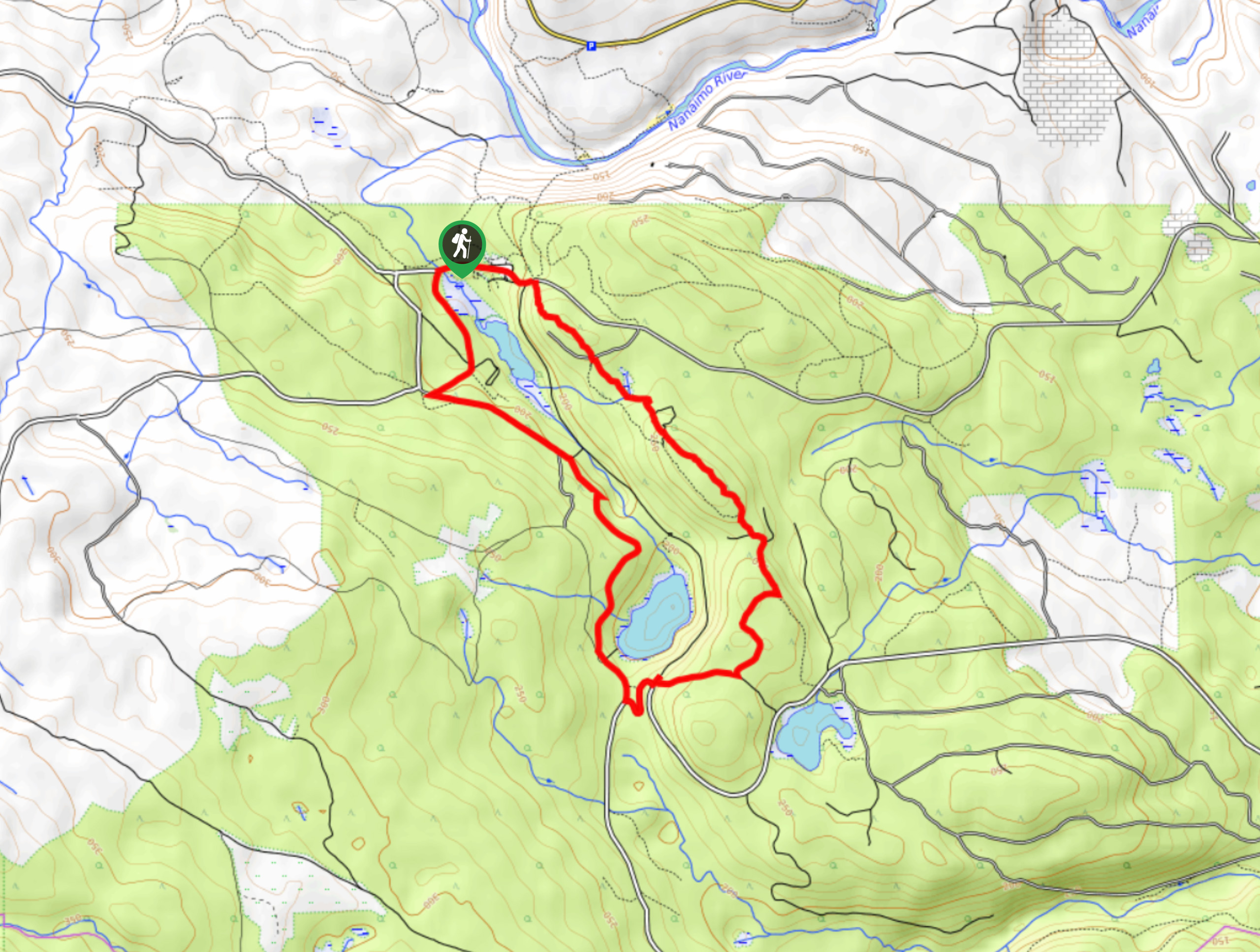
The Ammonite Falls Regional Trail is a 3.1mi out-and-back hiking route west of Nanaimo, BC that features a wonderfully scenic forest environment and a cascading waterfall. The trail itself is made up of well-maintained pathways that are wide and easy to navigate, making this route ideal for hikers of almost every skill level. Be prepared for a bit of climbing if you want to reach the falls, as there are ropes to help you descend to the water’s edge.
Getting there
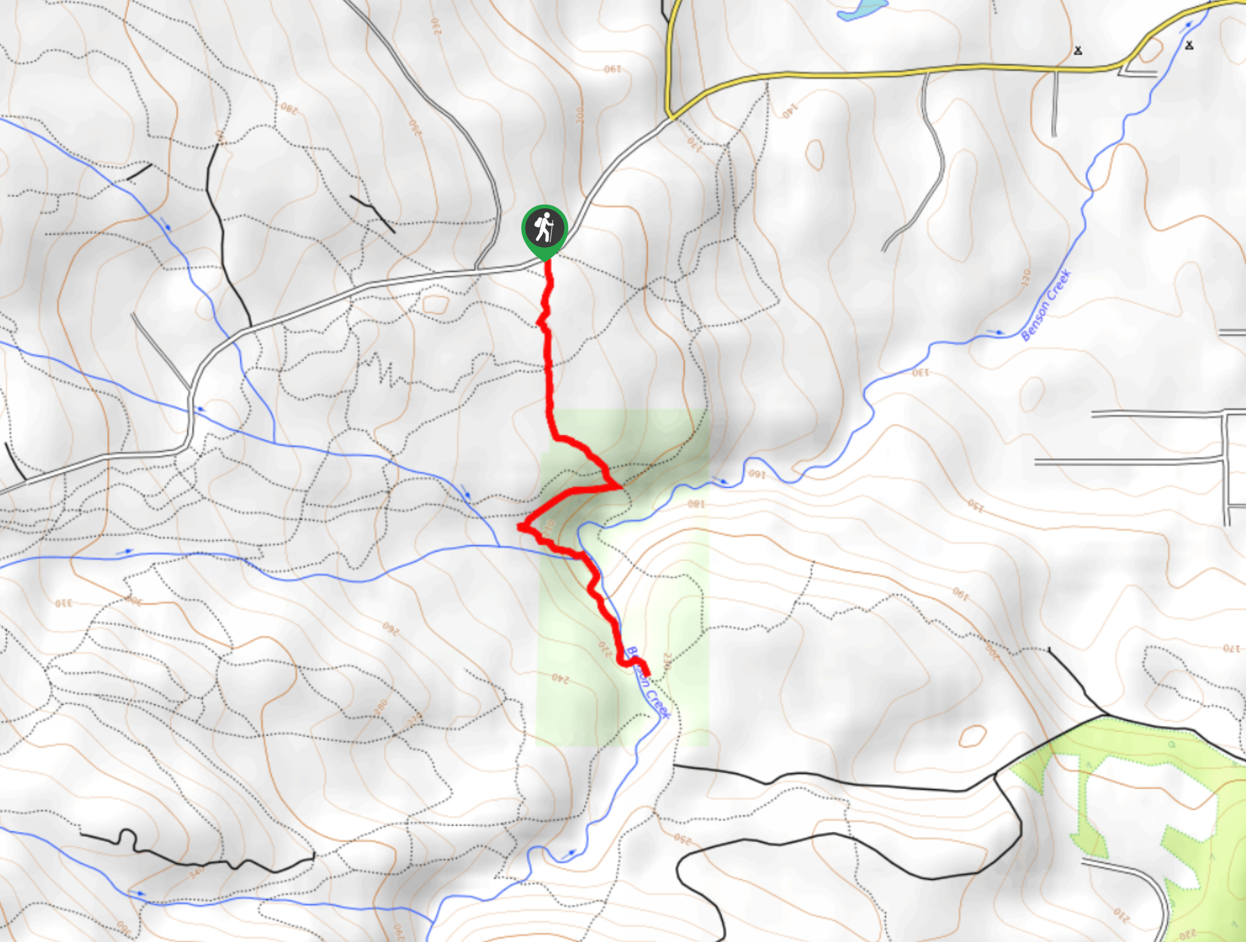
To reach the trailhead for the Ammonite Falls Regional Trail from Nanaimo, drive west on Third Street for 1.2mi and continue straight onto Jingle Pot Road for another 2.5mi. Turn left onto Kilpatrick Road and follow it for 2461ft, before turning right on Jameson Road. In 1.5mi, turn right onto Creekside Place and you will find the parking area on the right in 99.4mi.

About
| When to do | April-November |
| Backcountry Campsites | No |
| Pets allowed | Yes - On Leash |
| Family friendly | Older Children only |
| Route Signage | Average |
| Crowd Levels | Moderate |
| Route Type | Out and back |
Ammonite Falls Regional Trail
Elevation Graph
Weather
Ammonite Falls Regional Trail Description
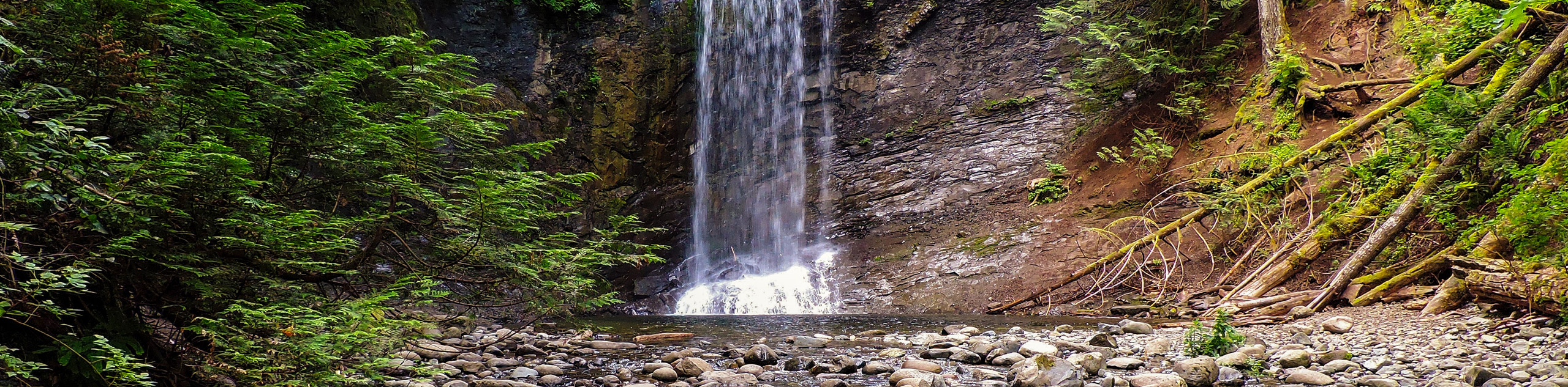
Although it is a short hiking route, the Ammonite Falls Regional Trail is a spectacular adventure that will lead you through a breathtaking West Coast temperate rainforest environment to the cascading water of the falls. While the majority of the trail utilizes well maintained pathways, the access point down to the edge of the falls and only be reached via a roped descent. Make sure to bring proper hiking footwear and some gloves to prospect your hands if you are looking to get up close and personal with the falls.
Heading out from the parking area, follow the road south for roughly 492ft and turn right to head into the forest. From here, continue to the northwest for about 1km to reach a junction on your right that will take you toward the Ammonite Falls. This trail will initially follow a wide gravel path through a clearing, before re-entering the forest as you approach the flowing waters of Benson Creek. Continue along the trail as it runs parallel to the creek and you will eventually arrive at the site of the cascading falls. If you want to approach the edge of the water, carefully lower yourself down along the ropes to be able to explore the area around the falls. After taking in the views of this hidden rainforest oasis, make your way back up the ropes and head back along the same trail to return to the parking area where you began your hike.
Similar hikes to the Ammonite Falls Regional Trail hike
Crystal and McKay Lakes Loop Trail
The Crystal and McKay Lakes Loop Trail is a 4.1mi hiking circuit southwest of Nanaimo that winds through…
Benson Creek Falls Trail
The Benson Creek Falls trail is a 1.8mi out-and-back hiking route near Nanaimo, BC, that will lead you…
Newcastle Island Bates Trail
The Newcastle Island Bates Trail is a 6.4mi lollipop hiking route just off the coast of Nanaimo, BC,…
Comments