Berkeley Park Trail
View Photos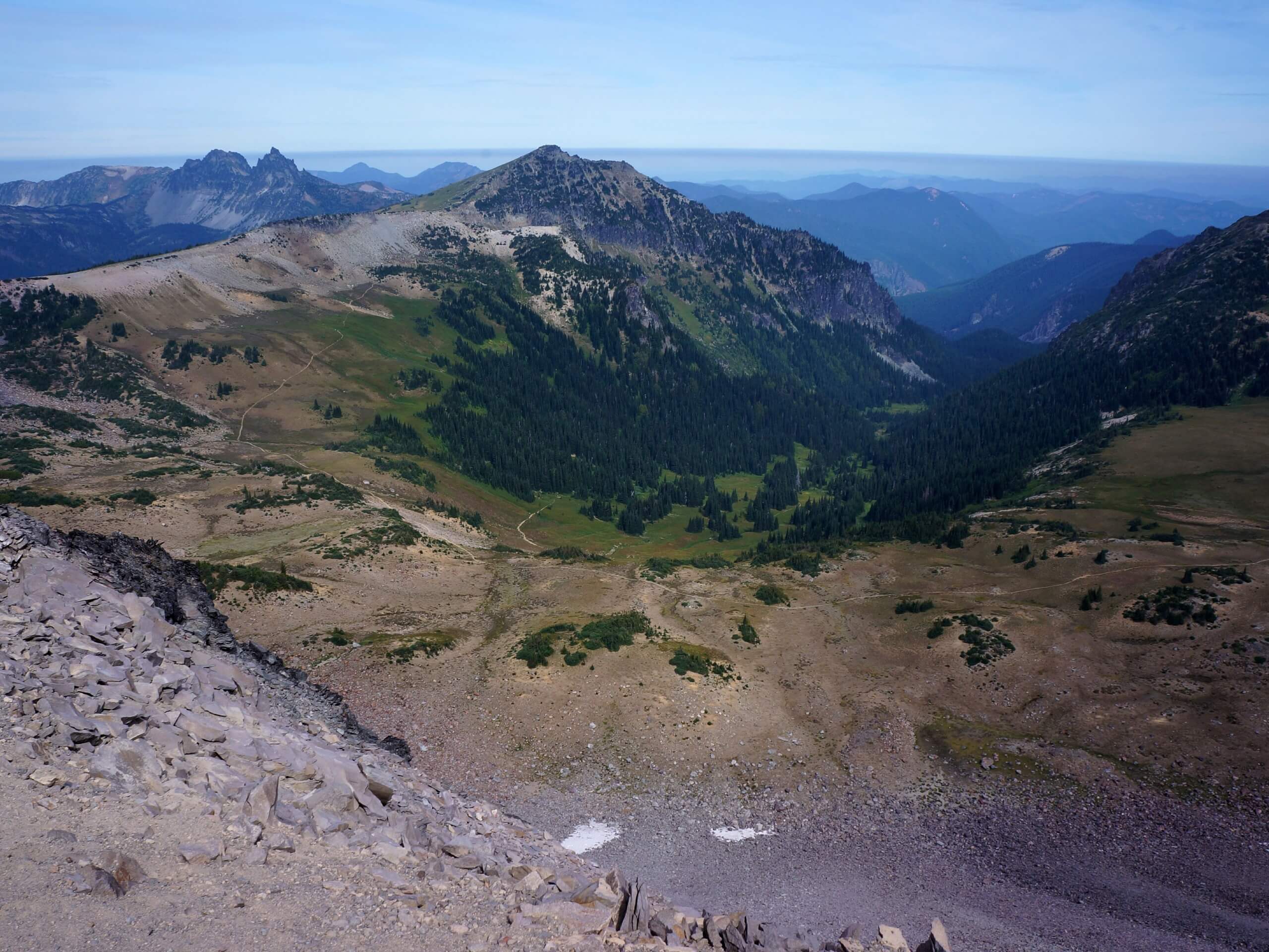
Berkeley Park Trail
Difficulty Rating:
The hike to Berkeley Park is an 11.3mi moderately difficult out and back trip in Mount Rainier National Park. This hike is a must-do in wildflower season when the meadows of the park are awash in color! If you can, try to come early for sunrise. Bring bug spray on this hike.
Getting there
To get to the Berkeley Park trailhead from the White River entrance to the park, drive east on State Route 410 to Sunrise Park Road. Make a right at the fork and continue as the road switchbacks to its terminus at the Sunrise Visitor Center.

About
| Backcountry Campground | Berkeley Park Camp |
| When to do | July-October |
| Pets allowed | No |
| Family friendly | Older Children only |
| Route Signage | Average |
| Crowd Levels | Moderate |
| Route Type | Out and back |
Berkeley Park Trail
Elevation Graph
Weather
Berkeley Park Trail Description
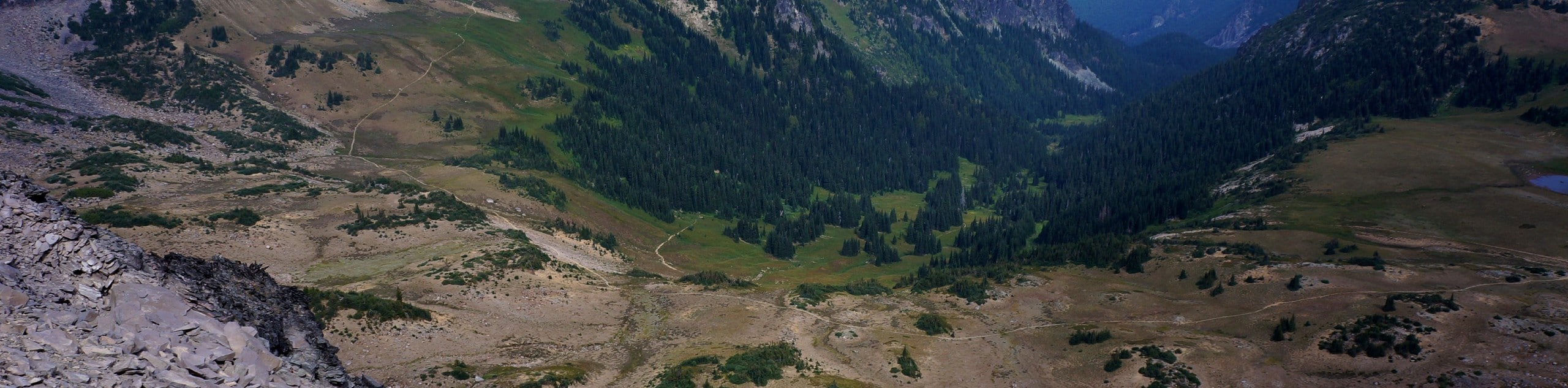
The hike to Berkeley Park is a true winner. The wildflowers are divine, the mountain vistas are unforgettable, and the park is a place you just won’t want to leave. You’ll hike through a bit of a stark stretch to get here, but it’s entirely worth it.
The trail begins from the Sunrise Visitor Center. Take the large stairs and hike to a ridgeline where you’ll be able to see into Huckleberry Valley. You’ll turn left onto Sourdough Ridge Trail. Hike 1.1mi to a 5-way junction, where you’ll continue straight on.
You’ll briefly hike on the Wonderland Trail, descending for 1.3mi to another junction. Go straight again here. You’ll begin to descend into Berkeley Park, and you can enjoy the lush meadows, the marmots, and the gorgeous mountain backdrop all the way to Berkeley Camp, where you can turn around and retrace your steps.
Similar hikes to the Berkeley Park Trail hike
Twin Firs Loop Trail
Twin Firs Loop is a 0.3mi hike in Mount Rainier National Park that is incredibly easy, making it…
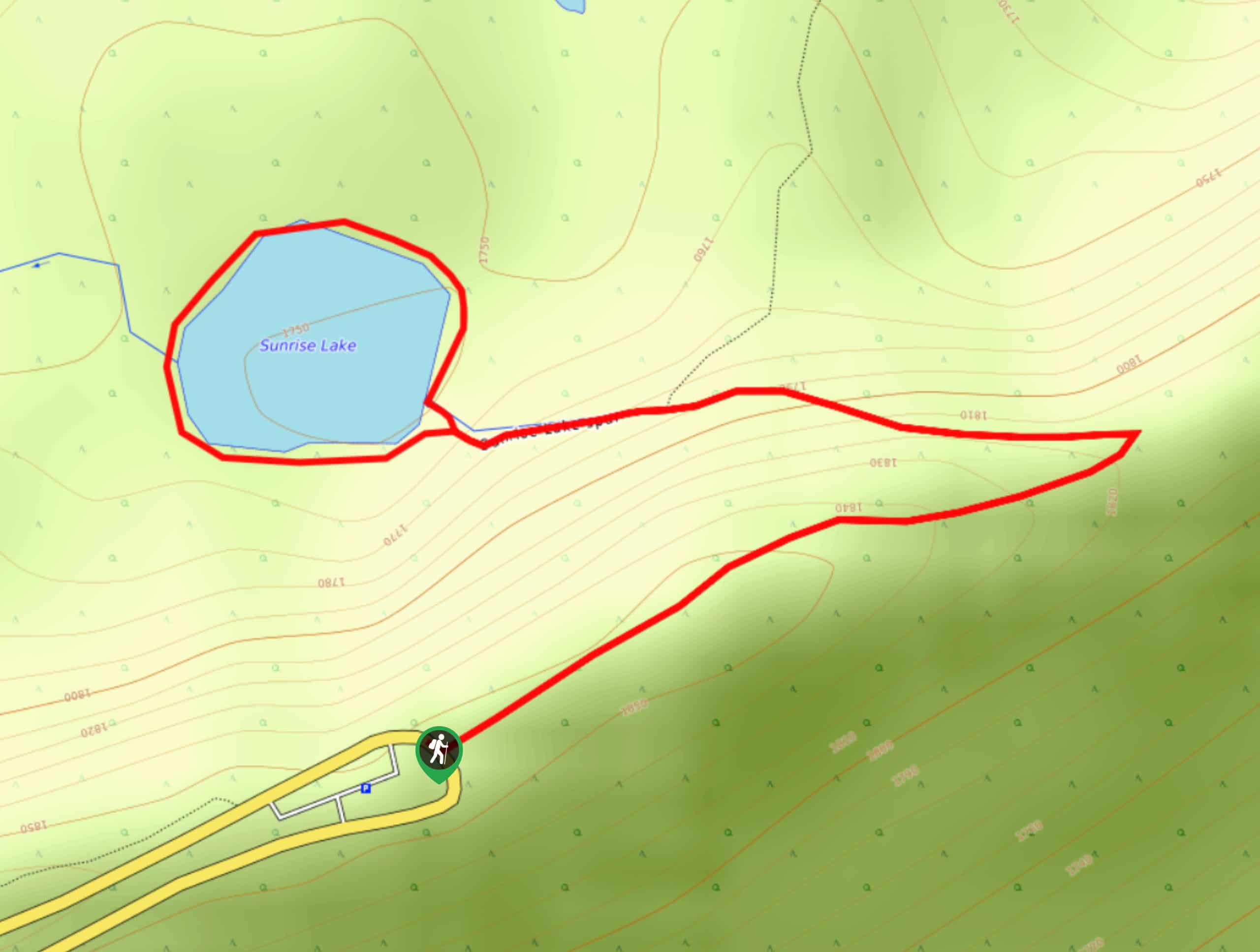
Sunrise Lake Trail
The Sunrise Lake Trail is an easy, short, family-friendly hike in Mount Rainier National Park that features a small lake.…
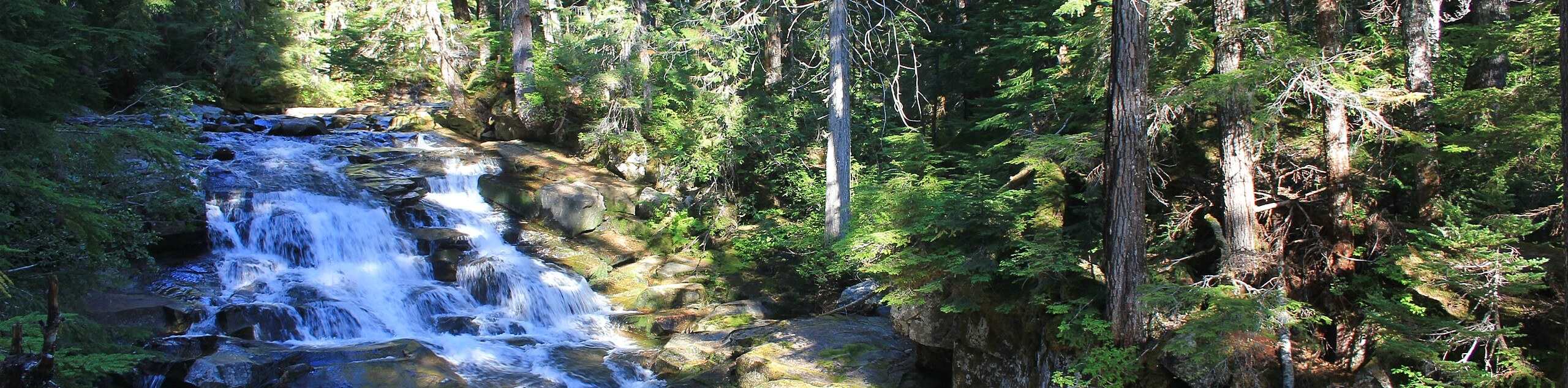
Madcap Falls Hike
The Madcap Falls hike is an easy 2.9mi trail in Mount Rainier National Park that features a waterfall…
Comments