
Skyline Divide
View Photos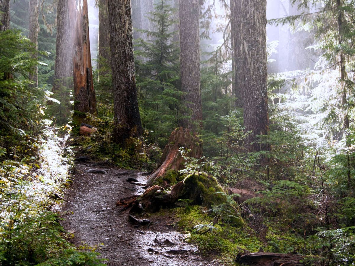
Skyline Divide
Difficulty Rating:
Skyline Divide is a rolling ridgeline hike that offers breathtaking panoramic views from Shuksan to Baker. Listen out for the whistling marmots, and be prepared for one of the best seasonal wildflower shows around. This is such a great way to spend a sunny summer day with friends. Read the full guide to Skyline Divide.
Getting there
To get to the Skyline Divide trailhead, take Mount Baker Highway east from Glacier for 1.0mi to milepost 34. Turn right on FR-39 (Glacier Creek Road). Follow signs to the Skyline Divide Trail, turning left on FR-37. Go for 12.9mi to the trailhead. A Northwest Forest Pass is required.

About
| When to do | July to October |
| Backcountry Campsites | Yes |
| Toilets | Yes, at trailhead |
| Family friendly | No |
| Route Signage | Average |
| Crowd Levels | Moderate |
| Route Type | Out and back |
Skyline Divide
Elevation Graph
Weather
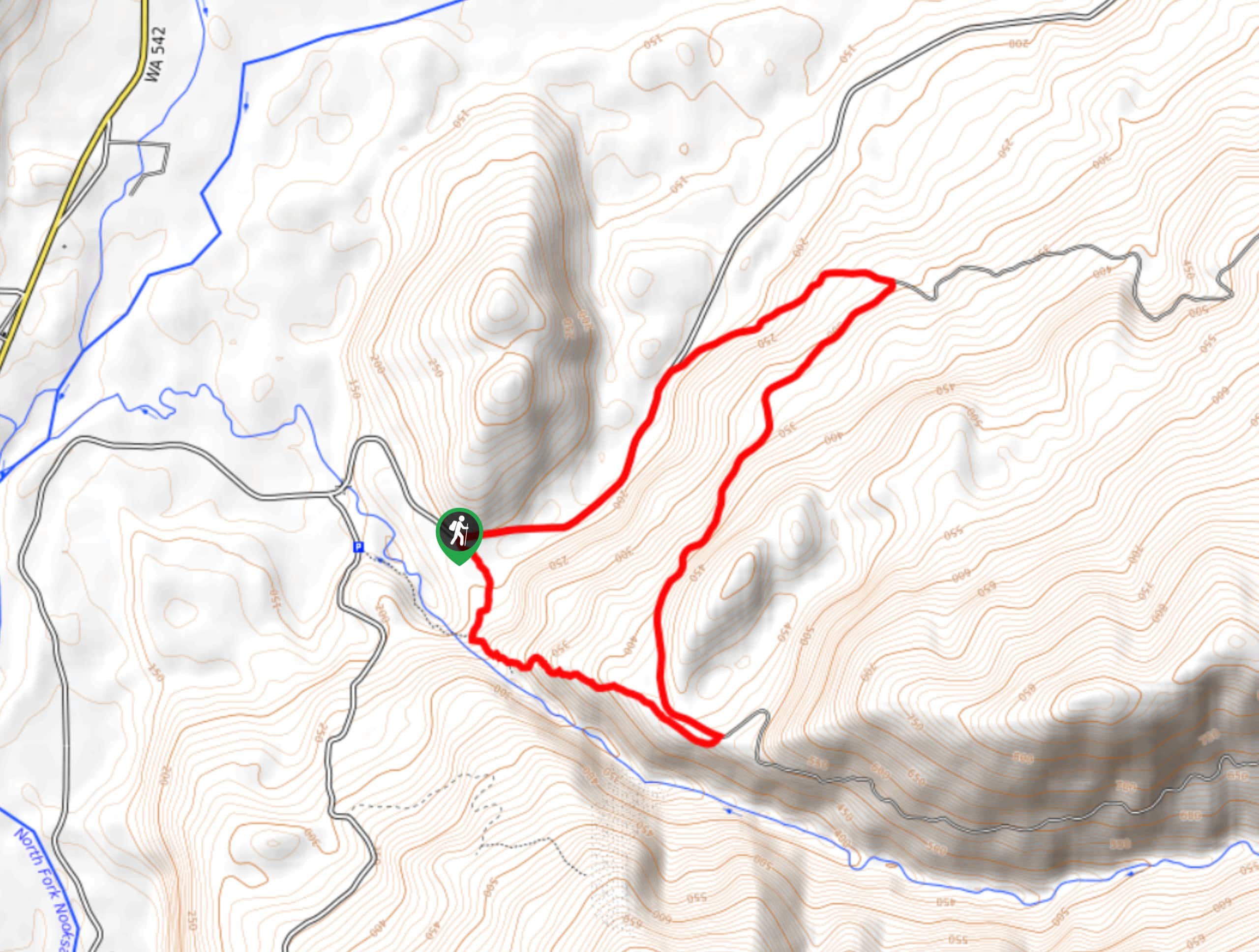
Skyline Divide Trail Description
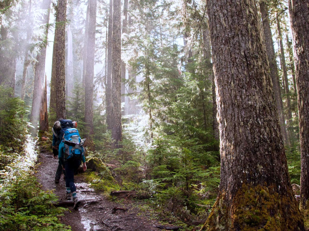
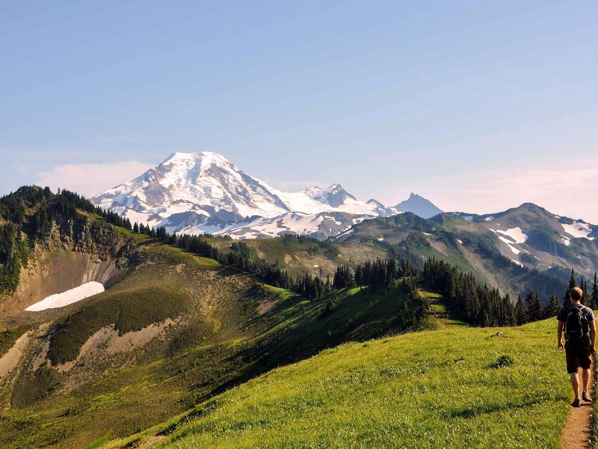
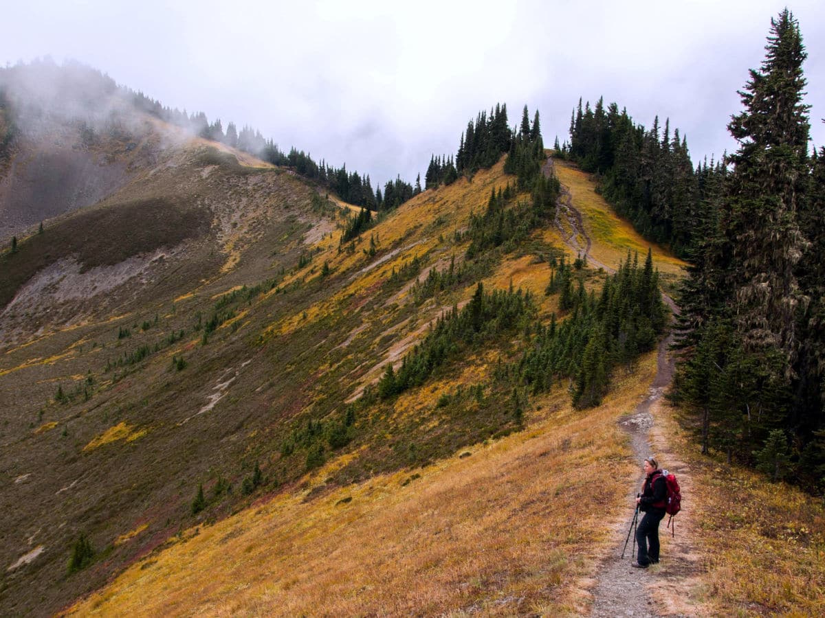
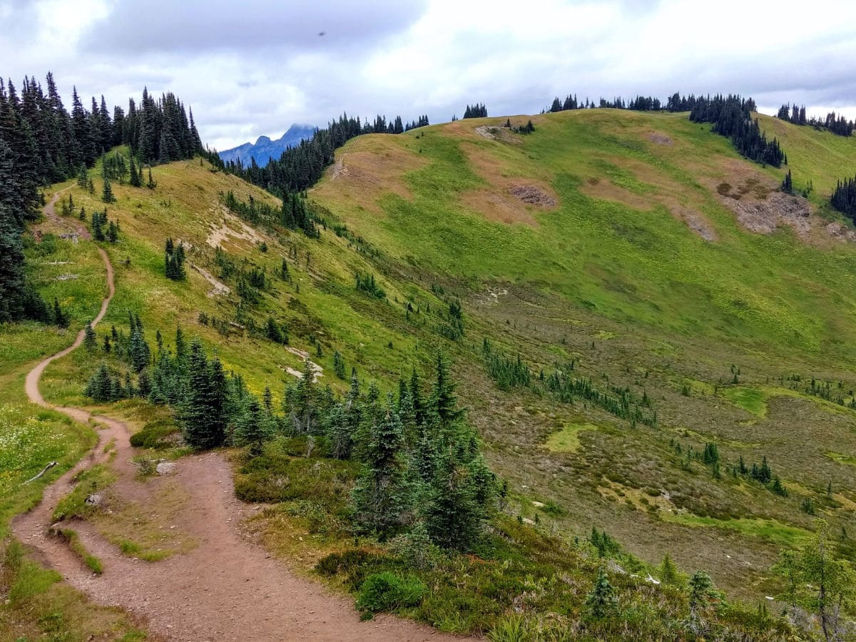
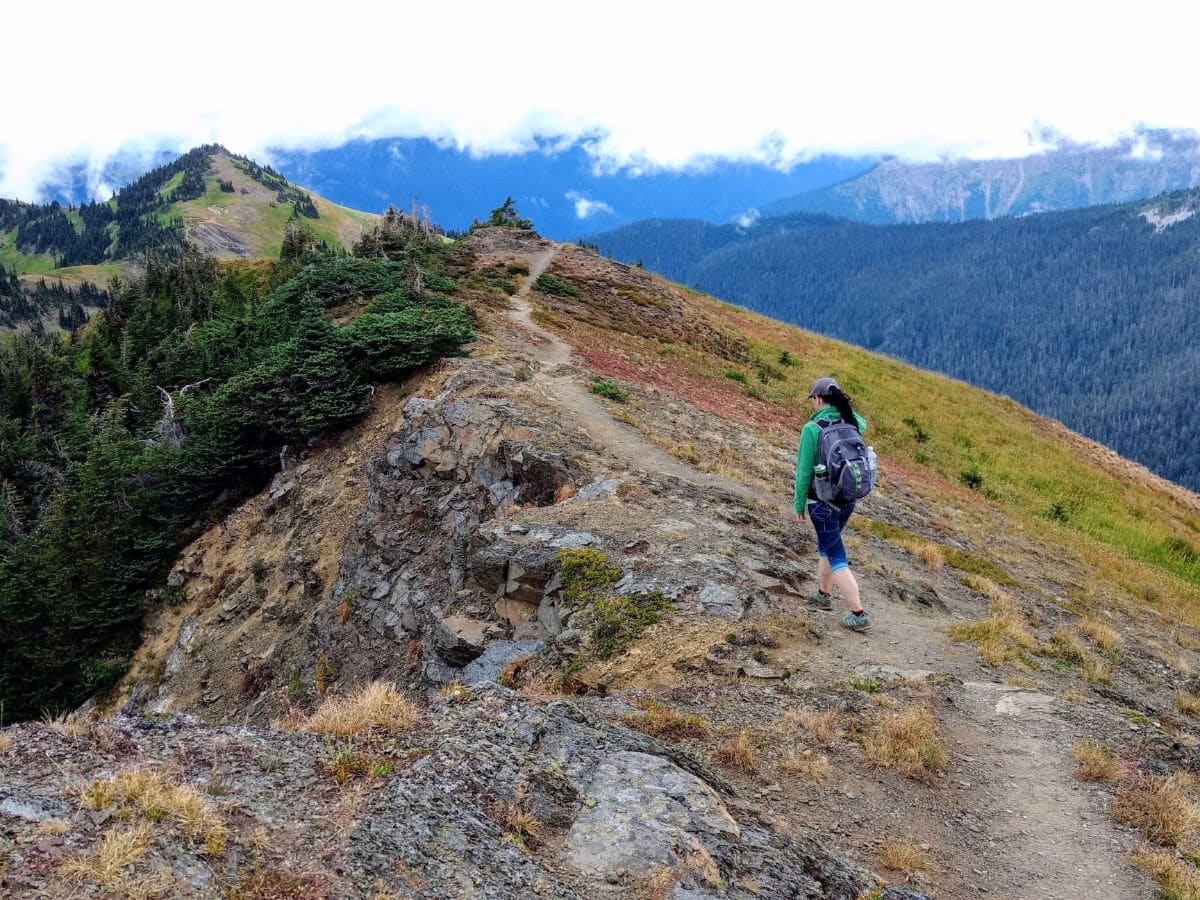
Gaining roughly 1500ft in the first 2.1mi, the Skyline Divide trail starts out steep. A hemlock forest provides plenty of shelter from the elements as the trail switchbacks up to the ridge. After 2.0mi, walk out of the woods into an alpine wonderland. Here, at 5800ft above sea level, views of Mount Baker, Shuksan and many more will take your breath away. This is a great turnaround point for those seeking a short hike. A nearby camping area to the north (left) provides an easy backpacking destination.
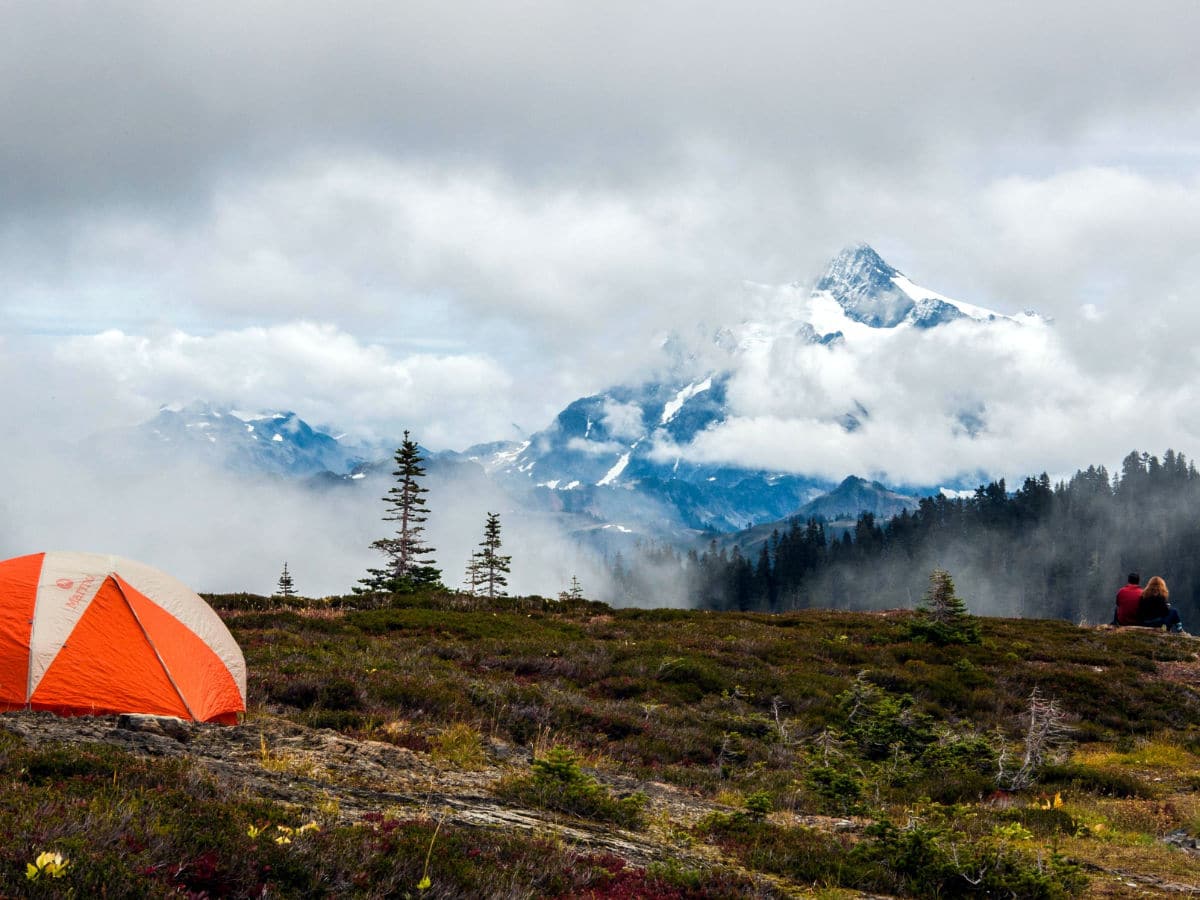
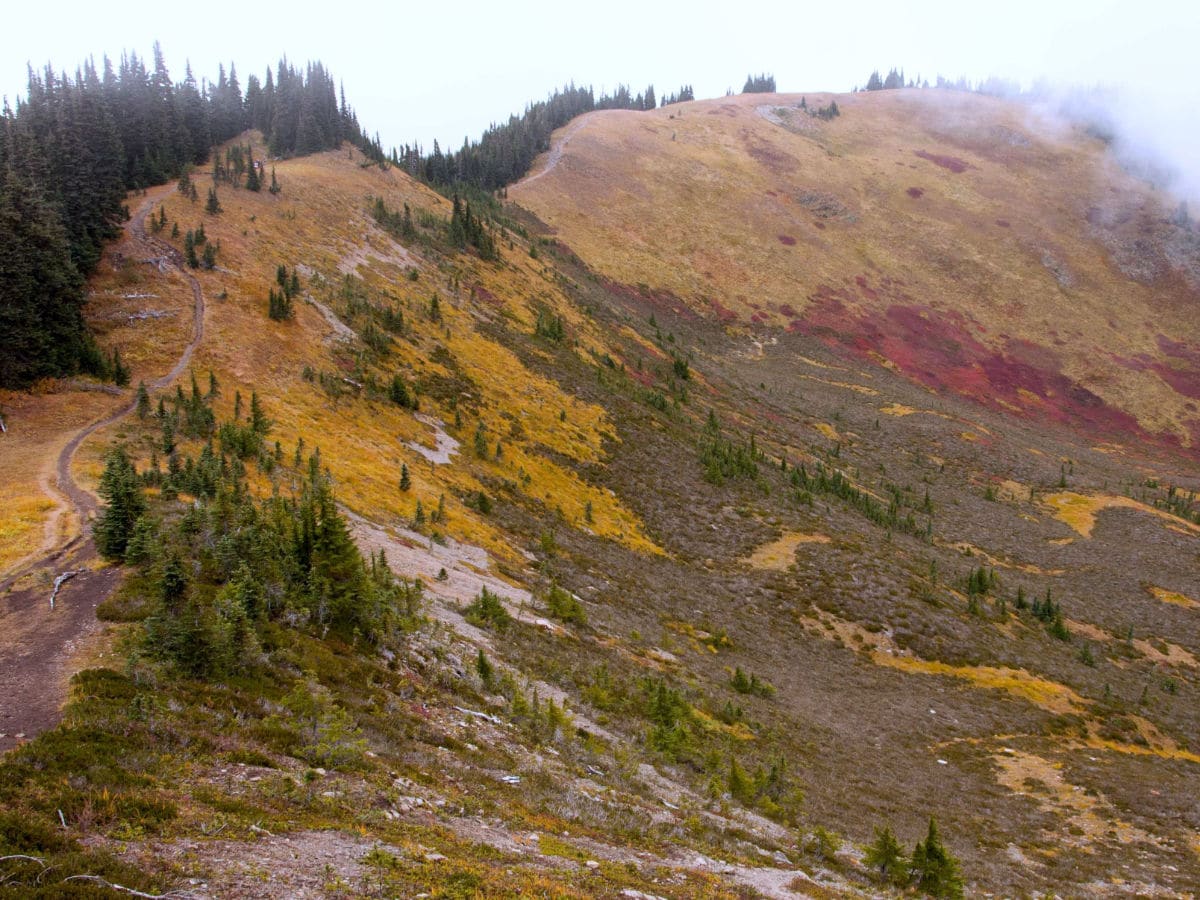
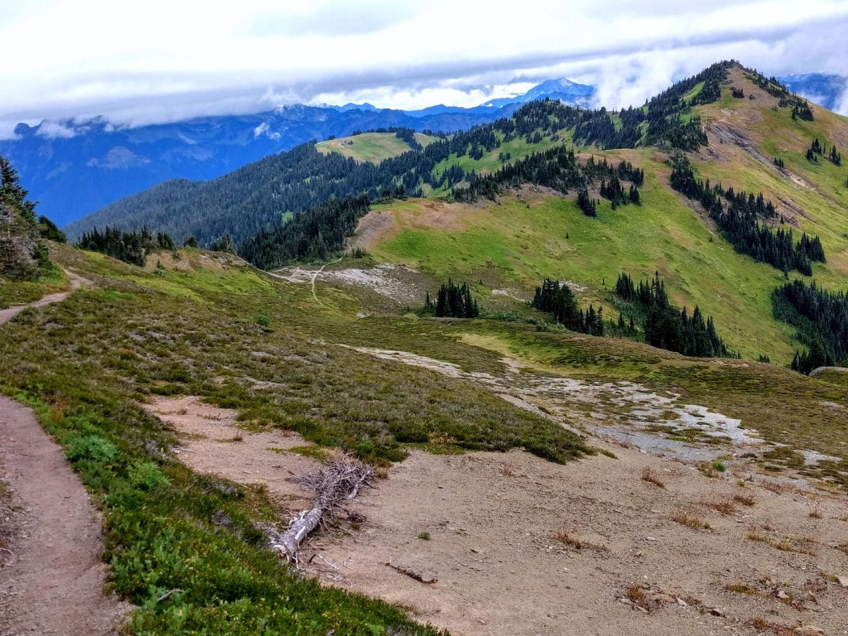
If you’re seeking the full experience of the Skyline Divide, wander south along the ridge, through wildflower meadows and towards Mount Baker. Hang a right at 2.5mi to avoid an unnecessarily steep climb. The trail rolls up and down, over high knolls to a junction marked by cairns at 3.2mi. The way left loses some elevation through talus slopes and meadows for about 1.0mi to the end of the trail. Camping here, near Deadhorse Creek, is a great way to spend the night stargazing.
The trail to the right climbs steeply towards Chowder Ridge. Follow it a short distance to reach a relatively flat knoll-shoulder at 3.5mi and 6200ft. It’s a good place to have lunch and turn around. Or, you can continue even further along the ridge, ending atop a 6563ft knoll – Skyline Divide’s highest point and final campsite at 4.5mi.
Skyline Divide Trail Camping
The Skyline Divide Trail offers several possibilities for camping, whether you’re looking to transform this hike into an easy backpacking trip, or simply looking for the best place to go stargazing in the Mount Baker Wilderness.
One of the most popular sites is the Douglas Fir Campground, situated on the banks of North Fork Nooksack River in Mount Baker-Snoqualmie National Forest. This is an excellent campground that offers good access to many of the hiking trails in the North Cascades. The site is equipped with toilets, drinking water, campfire rings, and tent pads.
You’ll also find some good places for camping near Deadhorse Creek, just before Chowder Ridge, located in the valley between the Skyline and Cougar Divides. Note that campfires are not permitted.
Trail Highlights
Views of Mount Baker and Mount Shuksan
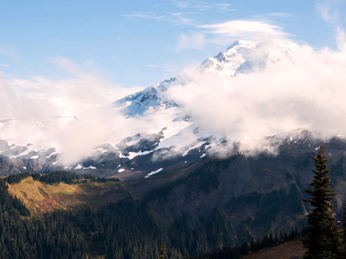
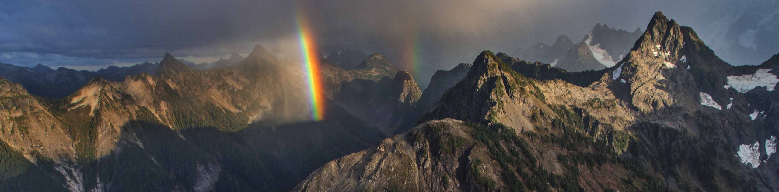
The Skyline Divide Trail is known for its marvelous views of Mount Baker and Mount Shuksan, and these two impressive mountains certainly don’t disappoint. The first peak to come into view is Mount Baker, its conical, snow-capped summit rising up ahead of you as you hike. Looking eastward, the distinctive crags of Mount Shuksan will come into view, foregrounded by lush, green forest and flanked by the characteristic white-flecked crags of this remarkable region.
Once you’re above the treeline, the undulating trail offers many impressive photo opportunities, and an awesome panorama that takes in Mount Baker, Mount Shuksan, and the many other peaks that make up the North Cascades. This is an unforgettable day out in Washington State.
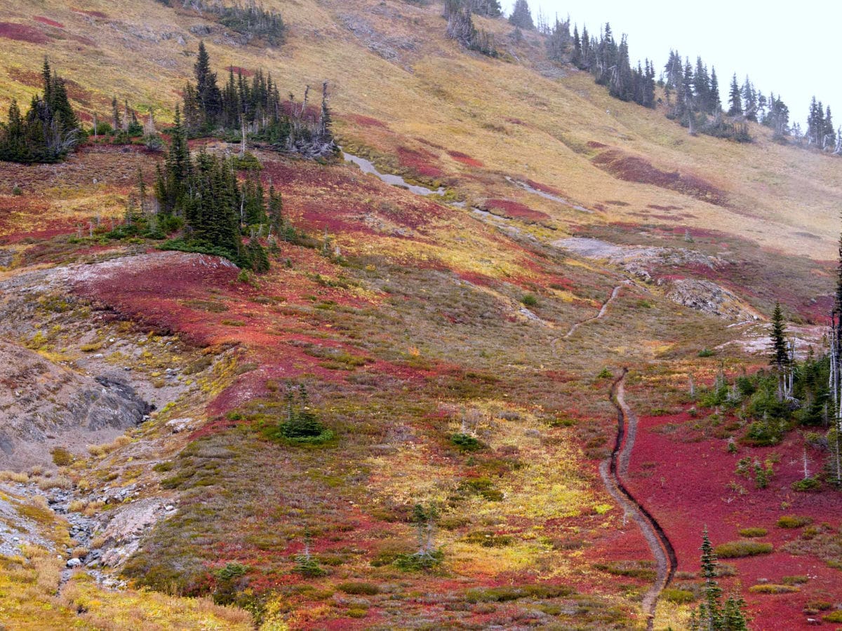
Wildflower Meadows
The dazzling display of wildflowers on the Skyline Divide Trail will take your breath away. Rising above the treeline, you’ll step into a world of color that is perfectly offset by the green meadows, show-capped peaks and glistening glaciers that surround you. Look out for colorful mountain heather, purple littleflower penstemon, sitka valerian with its tight, intricate buds, yellow glacier lilies, sulfur buckwheat, dwarf lupine and spearleaf stonecrop. The sheer diversity of the world at your feet is truly remarkable.
What’s more, these beautiful flowers sustain an important population of insects, and you can expect to see many darting dragonflies and wonderful butterflies fluttering from plant to plant, including the stunning anicia checkerspot and anise swallowtail. These wildflower meadows are a real highlight of any trip to the Skyline Divide Trail.
Would you like to see more hikes in Mount Baker? Check out the Yellow Aster Butte, Chain Lakes Loop, or Heliotrope Ridge.
What to know about hiking the Skyline Divide Trail in 2024
As of 2024, there have been some significant updates regarding access to the Skyline Divide Trail in the Mt. Baker region. The road leading to the Skyline Divide trailhead, specifically around mile 3.1, has been closed due to flood damage, making the trailhead currently inaccessible. This closure affects the ability to reach one of the most scenic hiking trails in the area, known for its beautiful ridgeline walks and spectacular views of Mt. Baker. However, the trail itself remains open to the public.
Insider Hints
Choose the length of your hike at Skyline Divide. Trips here can range from 4.0mi-9.0mi round trip, with optional side trails to explore. Turning around at 3.5mi makes for a great 7.0mi roundtrip day hike.
Bring plenty of water. There are no water sources on the ridge.
Please respect the fragile meadows by only camping in established campsites.
Weather changes quickly above 6000ft - even during summer. Be prepared and bring plenty of layers.

Similar hikes to the Skyline Divide hike
Twin Lakes Trail
Twin Lakes Trail is a 14.7mi hike in the Mount Baker Wilderness that leads you to two picturesque…
Racehorse Falls Loop
The Racehorse Trail Loop is an easy hike to a pretty waterfall that cascades over several tiers. The hike to…
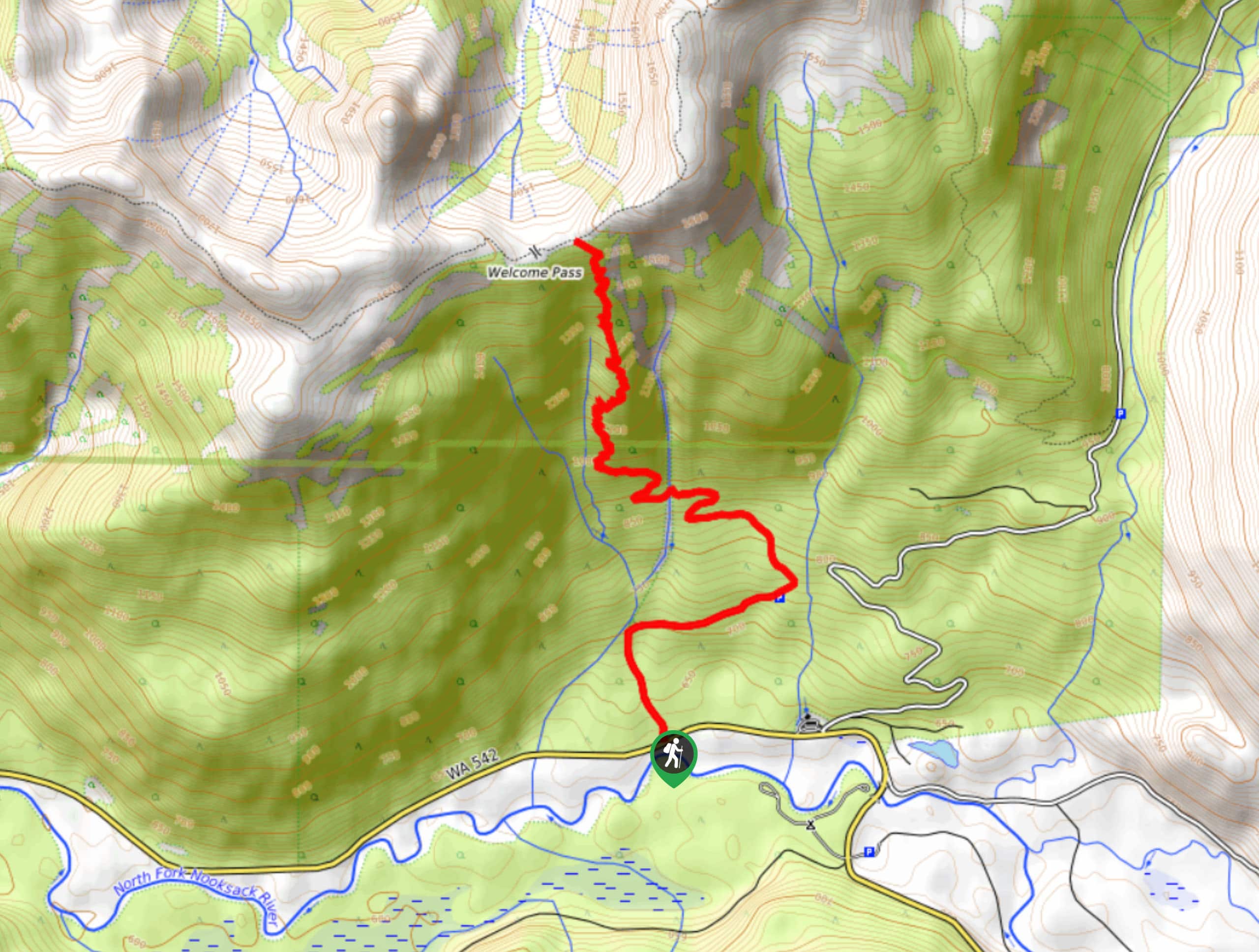
Welcome Pass Hike
The hike to Welcome Pass on High Divide Trail offers fantastic views of the surrounding mountains and lakes too numerous…
Papa smurph 4 years ago
The views are absolutely incredible.
E.david 4 years ago
Spectacular views of mountain peaks with snow, forest and lakes.
Sally S. Norbert 4 years ago
Beautiful vistas. Make sure you keep going after the Meadows as it's well worth the effort!
Lambert O 4 years ago
Fantastic views. Excellent view of both Baker & Shuksan!
Aleysha C. 4 years ago
Fantastic views. This is a good hiking trail
Meighan 4 years ago
It was a fun trail up to the ridge with gorgeous views and fresh snow from the skyline on. I am going to go again and stay the night when I’m more prepared.
dylanm 4 years ago
Stunning! I'll never get tired of doing this hike.
Abra Pepel 4 years ago
Lovely views! Perfect for stargazers! Light pollution is very low, was able to take clear shots of the milky way.
T Rob 4 years ago
Breathtaking! The views were amazing at the top
Eli-Tim 4 years ago
Excellent place. There were adorable and friendly marmots around. I guess they're used to humans already.