
Tiger Tail Trail
View Photos
Tiger Tail Trail
Difficulty Rating:
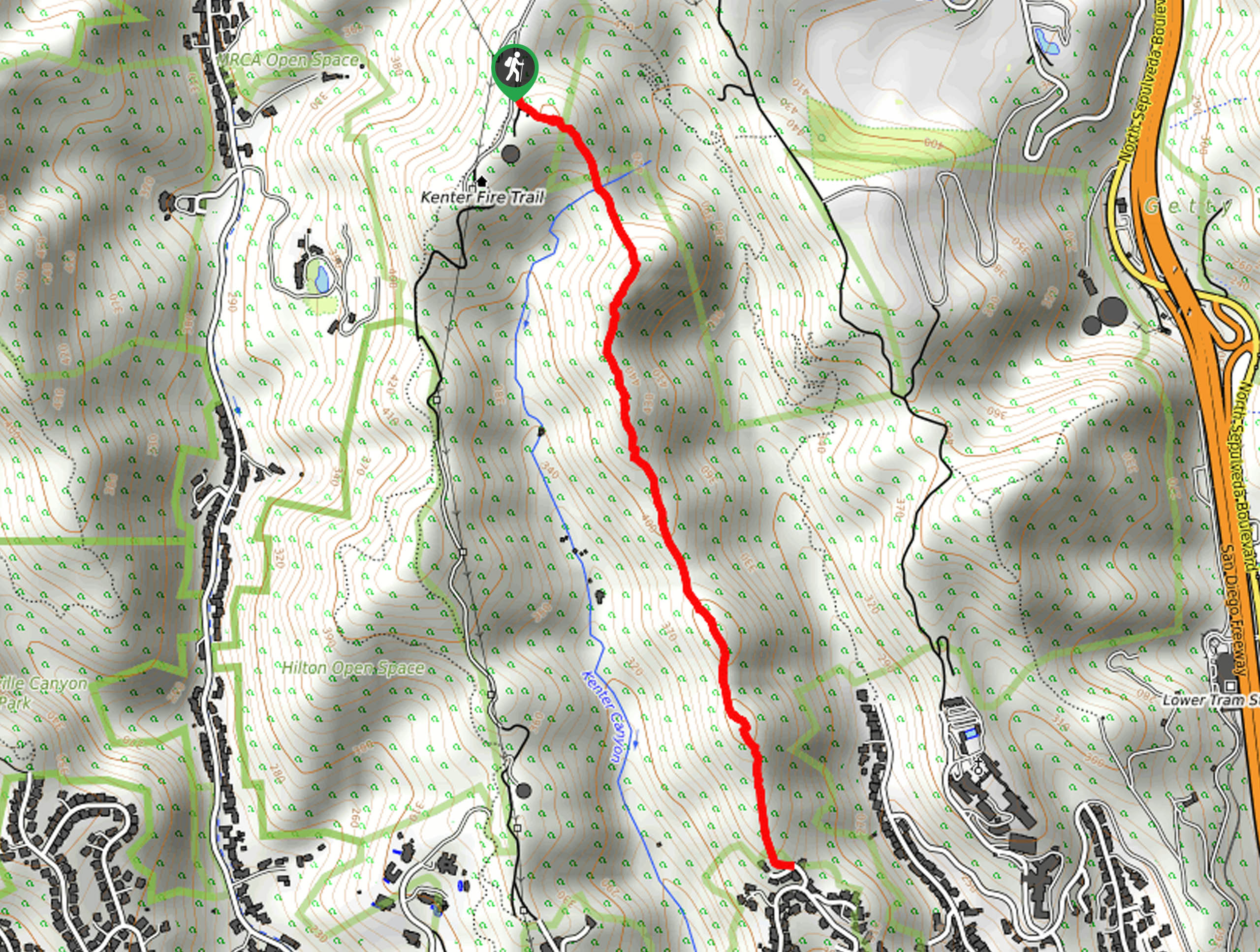
The Tiger Tail Trail is a fairly short and relatively challenging adventure in Los Angeles that offers scenic views. While out on the trail, you will traverse an undulating ridgeline while taking in views of surrounding canyons, big houses, and the sprawling city below. Make sure to wear proper hiking footwear for this adventure, as the rocky and rugged terrain can be difficult to traverse at times.
Getting there
The trailhead for the Tiger Tail Trail can be found along Canyonback Road, just south of the Mountain Gate Country Club.

About
| Backcountry Campground | No |
| When to do | Year-Round |
| Pets allowed | Yes - On Leash |
| Family friendly | Older Children only |
| Route Signage | Average |
| Crowd Levels | Moderate |
| Route Type | Out and back |
Tiger Tail Trail
Elevation Graph
Weather
Tiger Tail Trail Description
For anyone who wants to experience a bit of rugged terrain but doesn’t want the headache of a longer journey, the Tiger Tail Trail is the perfect option to get out exploring the L.A. area.
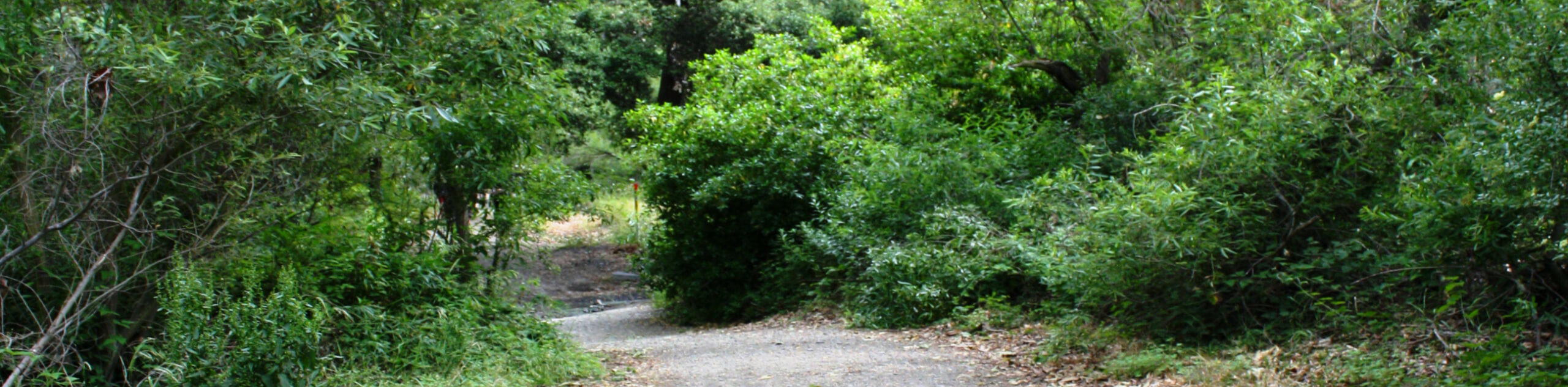
Setting out from the trailhead on Canyonback Road, you will make your way to the southeast along the Tiger Tail Trail. In the initial stage of the hike, you will need to descend into Kenter Canyon and cross over the creek, before climbing back uphill on the opposite side.
Continuing on to the southeast, you will traverse the undulating ridge, experiencing some amazing views overlooking Los Angeles and some of the huge houses that dot the canyon landscape. Eventually, you will arrive at the endpoint of the trail at the edge of Tigertail Road, where you can turn back and follow the same route to return to the trailhead.
Similar hikes to the Tiger Tail Trail hike

Rivas Canyon Trail
Hiking the Rivas Canyon Trail is a wonderful experience near Los Angeles that will take you through a canyon for…
Sullivan Canyon Loop Hike
Hiking the Sullivan Canyon Loop is a moderate-length adventure in Los Angeles that traverses a tricky bit of canyon terrain.…
Bee Rock Loop Hike
The Bee Rock Loop Hike is a quick outdoor adventure that will see you loop around Griffith Park. While out…
Comments