Rivas Canyon Trail
View Photos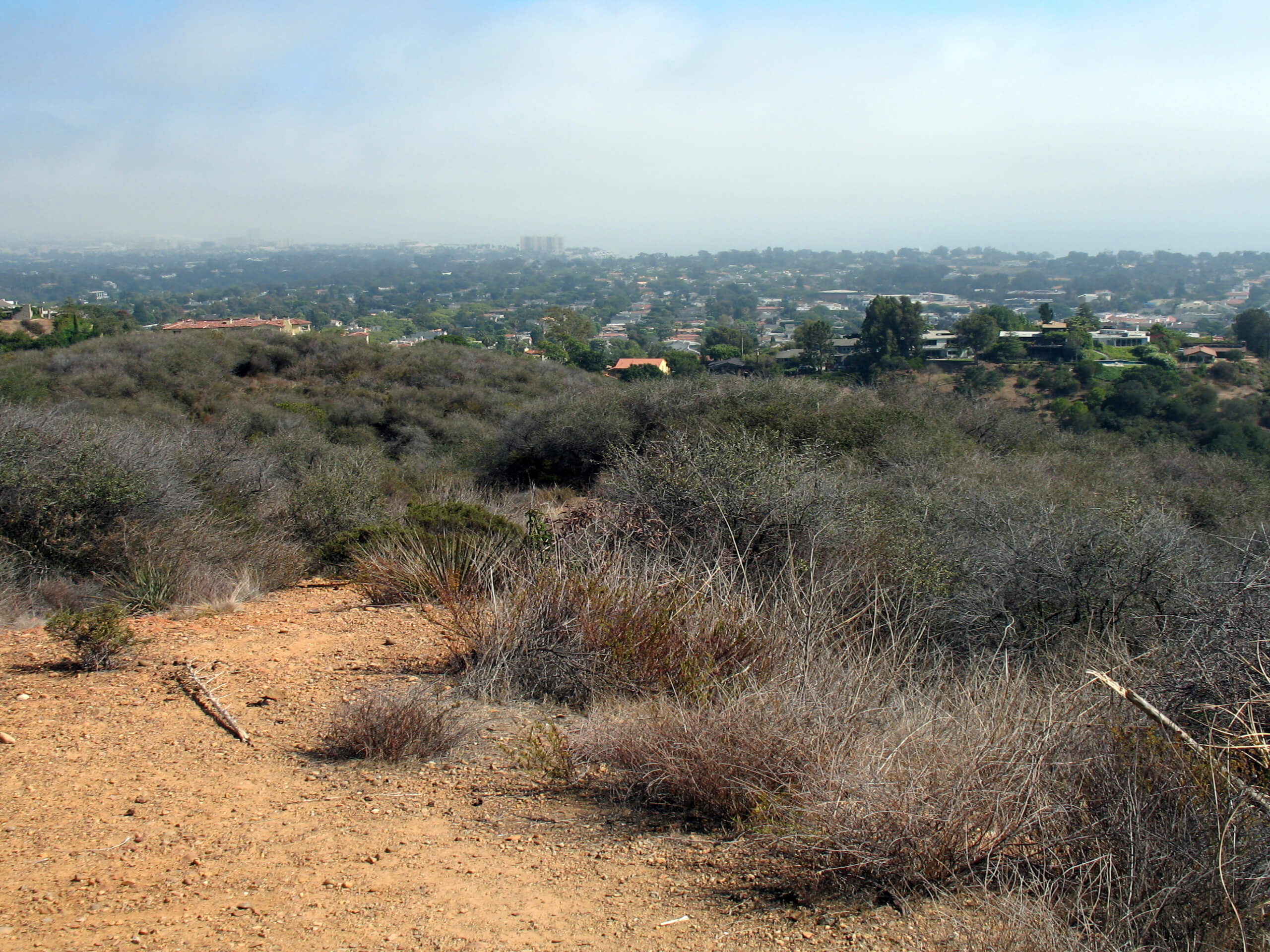
Rivas Canyon Trail
Difficulty Rating:
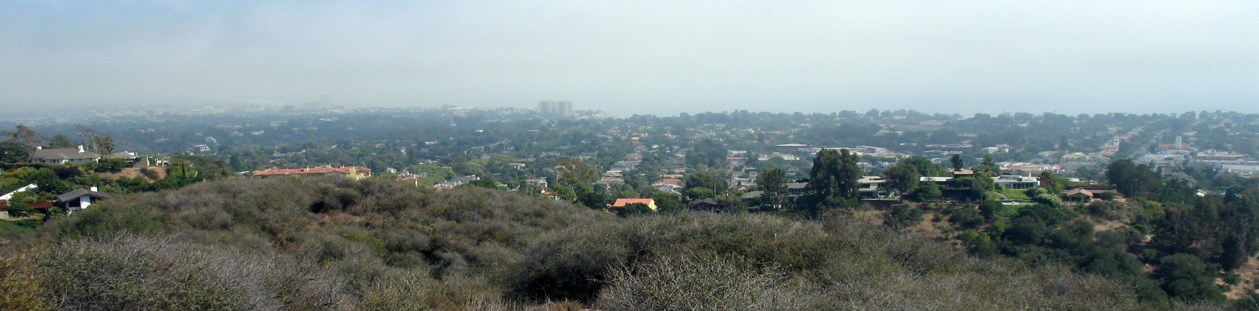
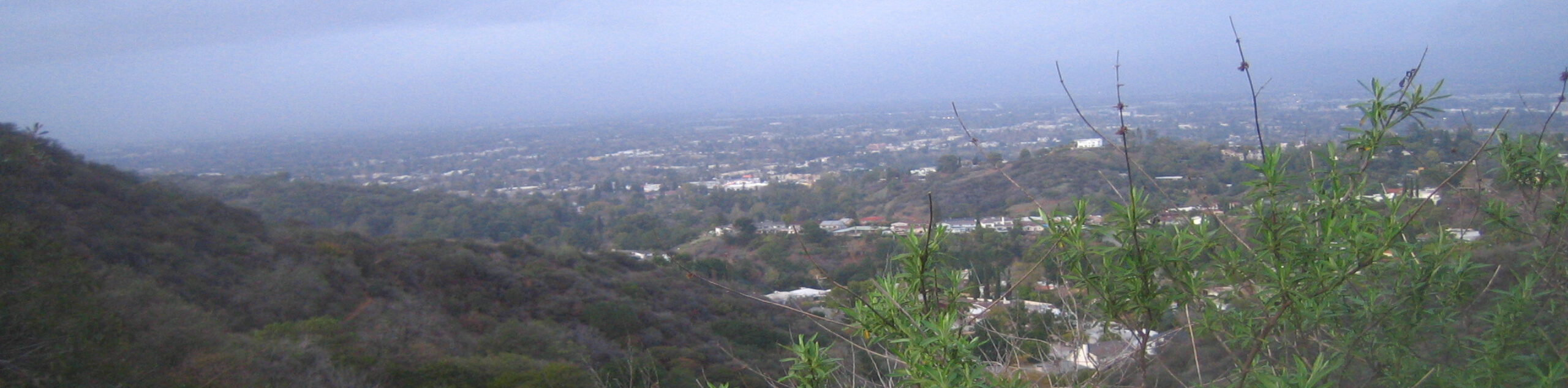
Hiking the Rivas Canyon Trail is a wonderful experience near Los Angeles that will take you through a canyon for sweeping SoCal views. While out on the trail, you will traverse the hilly landscape of Will Rogers State Historic Park and take in the amazing views that extend out to blue waters of the Pacific Ocean. Make sure to leave your dogs at home, as they are unfortunately not permitted on the trail.
Getting there
The Rivas Canyon Trailhead can be found at the Will Rogers State Historic Park parking lot on Will Rogers State Park Road.

About
| Backcountry Campground | No |
| When to do | Year-Round |
| Pets allowed | No |
| Family friendly | Older Children only |
| Route Signage | Average |
| Crowd Levels | Moderate |
| Route Type | Out and back |
Rivas Canyon Trail
Elevation Graph
Weather
Rivas Canyon Trail Description
For the amazing views that you will encounter, the Rivas Canyon Trail should definitely be a more popular hike in the L.A. area. Even so, the light foot traffic simply means that you can enjoy the scenic views and pleasant canyon terrain without the crowds, making for a fun excursion no matter the time of day!
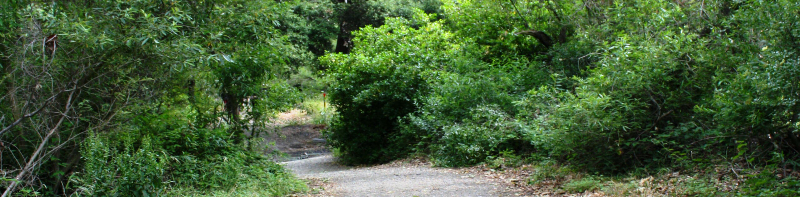
Setting out from the trailhead in Will Rogers State Historic Park, you will follow the Rivas Canyon Trail as it initially leads to the southwest. Eventually, the trail will bend to the north along the edge of a residential area, before turning back to the west and climbing uphill through a series of switchbacks.
As you make your way west, take your time to enjoy the amazing views that extend out to the ocean, before arriving at the endpoint of the trail in Temescal Canyon. From here, simply turn back and retrace your steps on the return to your starting point.
Similar hikes to the Rivas Canyon Trail hike
Sullivan Canyon Loop Hike
Hiking the Sullivan Canyon Loop is a moderate-length adventure in Los Angeles that traverses a tricky bit of canyon terrain.…
Bee Rock Loop Hike
The Bee Rock Loop Hike is a quick outdoor adventure that will see you loop around Griffith Park. While out…
Nancy Hoover Pohl Overlook Hike
The Nancy Hoover Pohl Overlook Hike is a short adventure in Los Angeles that is big on scenic views. While…
Comments