Lake Perris Area Trail
View Photos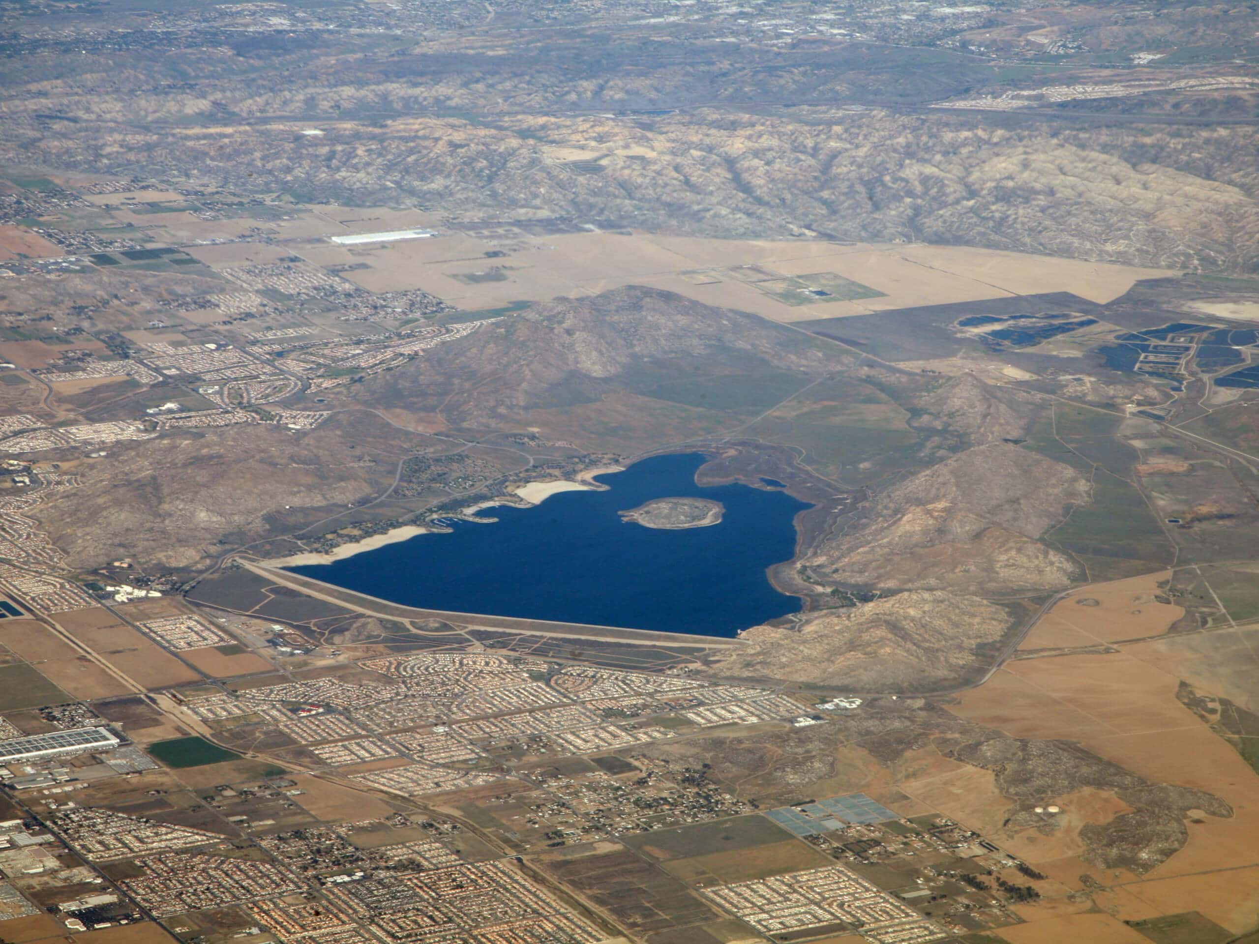
Lake Perris Area Trail
Difficulty Rating:
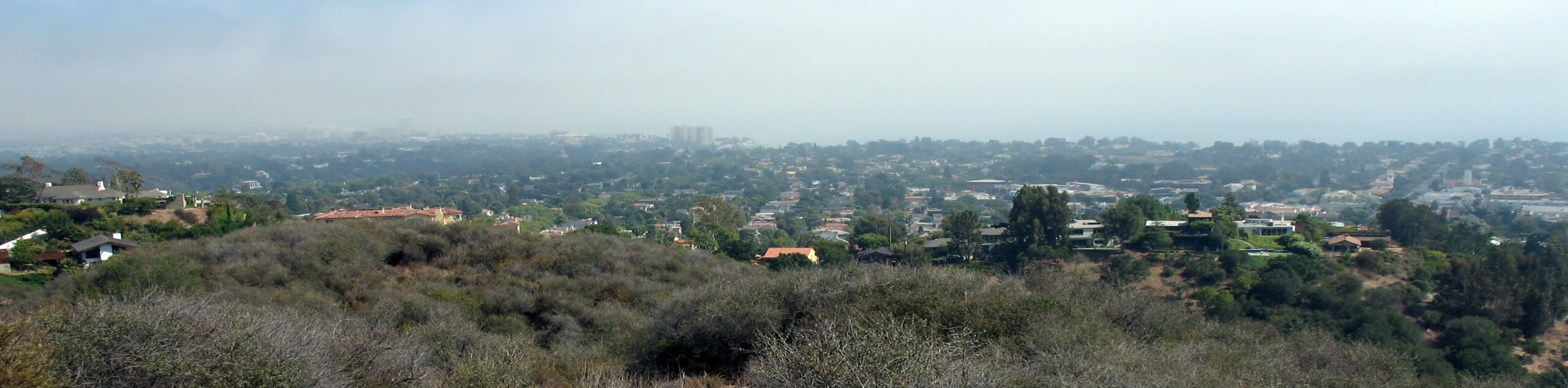
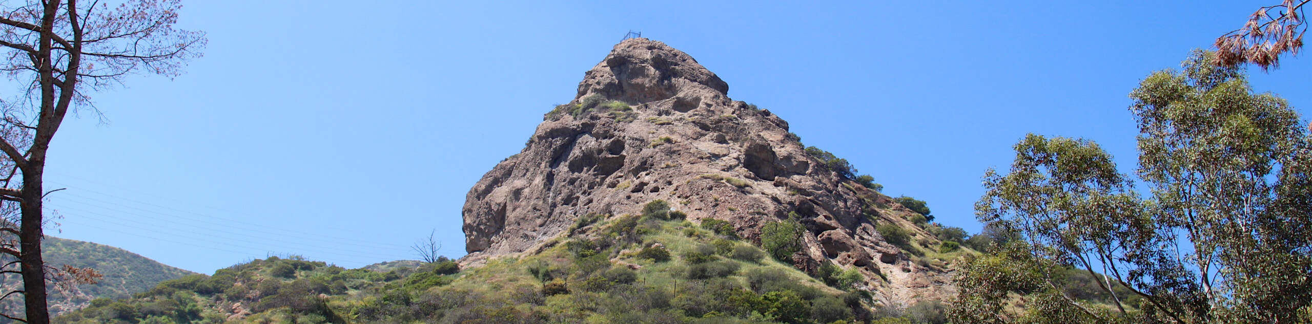
The Lake Perris Area Trail is a beautiful hiking route in Southern California that climbs over some rugged terrain for views of the lake. While out on the trail, you will steadily gain elevation to the top of Terri Peak for a stunning sightline overlooking Lake Perris, before descending to the road and backtracking along the trail once again. Make sure to arrive early for this hike, especially in the summer months, as the recreational areas surrounding the lake can make it an extremely busy place.
Getting there
The trailhead for the Lake Perris Area Trail can be found next to the Ya’i Heki’ Regional Indian Museum on Lake Perris Drive.

About
| Backcountry Campground | No |
| When to do | Year-Round |
| Pets allowed | No |
| Family friendly | Older Children only |
| Route Signage | Average |
| Crowd Levels | High |
| Route Type | Out and back |
Lake Perris Area Trail
Elevation Graph
Weather
Lake Perris Area Trail Description
Although it may feature some beautiful views and a fairly short overall distance, the Lake Perris Area Trail is no walk in the park, as it contains a steady amount of elevation gain throughout the hike. Be sure to wear proper hiking footwear and bring plenty of water to stay hydrated. Additionally, you should try to arrive early in order to secure a parking space and beat out the crowds.
Even though you will be contending with other hikers for the duration of your adventure, this is still a wonderful hike that will allow you to take in some gorgeous SoCal scenery. Rugged mountains, a pristine lake, and sweeping views in every direction make this an excellent excursion, no matter the time of year.
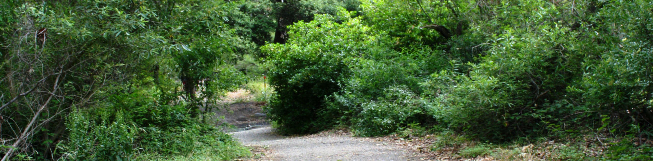
Setting out from the parking lot next to the museum, you will pick up the trail as it initially leads west, before turning to the north. Here, you will immediately begin climbing uphill, following the path as it bends to the northeast across the rocky and rugged landscape.
Take your time to enjoy the views from the different vistas as you gain elevation, and in no time you will arrive at the summit of Terri Peak for an incredible view overlooking Lake Perris. After pausing for a bit of a rest, you will follow the trail as it leads back downhill to the east, eventually arriving at the edge of Alta Calle Road.
At this point, you will turn back along the trail for another steep uphill climb, retracing your steps across the top of Terri Peak and back down into the trailhead where you began. Those who don’t want to take part in another uphill climb along the Lake Perris Area Trail can carefully make their way alongside the road to return to the starting point.
Trail Highlights
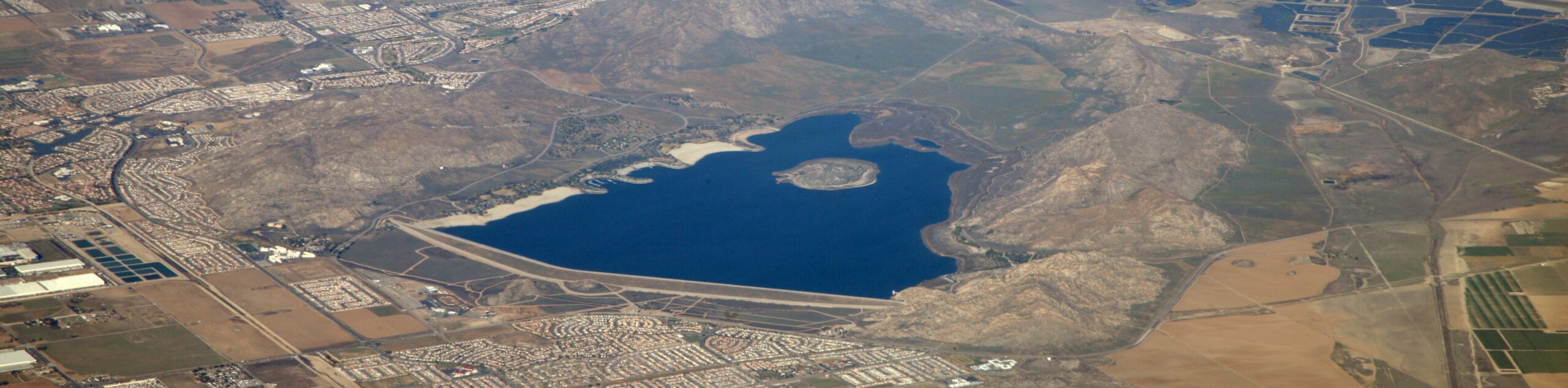
Lake Perris
Also known as the Perris Reservoir, Lake Perris is an artificial body of water in Southern California that was finished construction in 1973. The lake is situated in a valley surrounded by mountains and is a popular destination for recreational activities. Although it can become very busy during the summer months, Lake Perris is a great place to go if you are looking to camp, fish, ride horses, swim, or rock climb.
Frequently Asked Questions
Is it safe to swim in Lake Perris?
Yes, recreational swimming in Lake Perris is safe and the water is frequently tested to ensure that no harm will come to the public.
Can I bring my dog on the Lake Perris Area Trail?
Unfortunately, dogs are not permitted on the Lake Perris Area Trail, so you will need to leave your canine companions at home. There are some dog-friendly walking trails closer to the lake.
Insider Hints
Make sure to wear proper hiking footwear
Arrive early, especially if you plan on exploring the area in the summer
There is a per vehicle fee when entering the Lake Perris State Recreation Area.
Pop into the Ya’i Heki’ Regional Indian Museum next to the trailhead for some cultural learning after your hike.
Similar hikes to the Lake Perris Area Trail hike
Rivas Canyon Trail
Hiking the Rivas Canyon Trail is a wonderful experience near Los Angeles that will take you through a canyon for…
Sullivan Canyon Loop Hike
Hiking the Sullivan Canyon Loop is a moderate-length adventure in Los Angeles that traverses a tricky bit of canyon terrain.…
Bee Rock Loop Hike
The Bee Rock Loop Hike is a quick outdoor adventure that will see you loop around Griffith Park. While out…
Comments