
Loch Venachar Walk
View Photos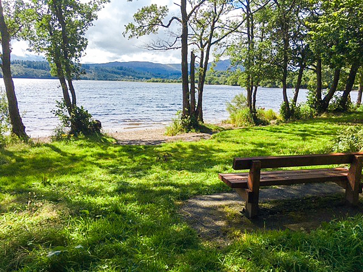
Loch Venachar Walk
Difficulty Rating:
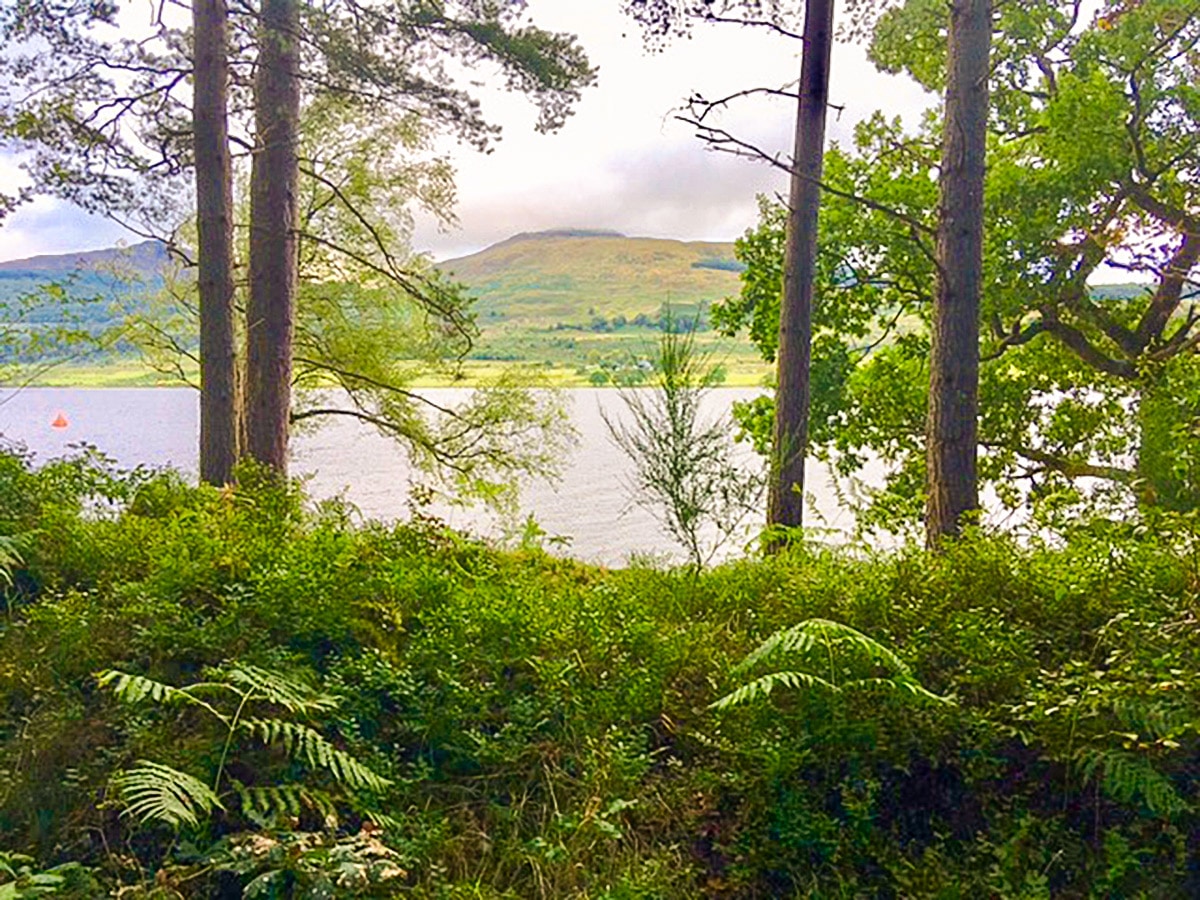
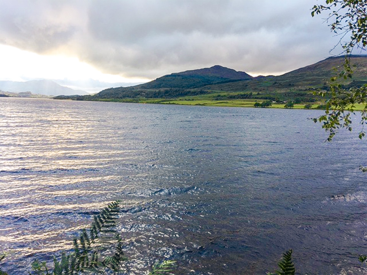
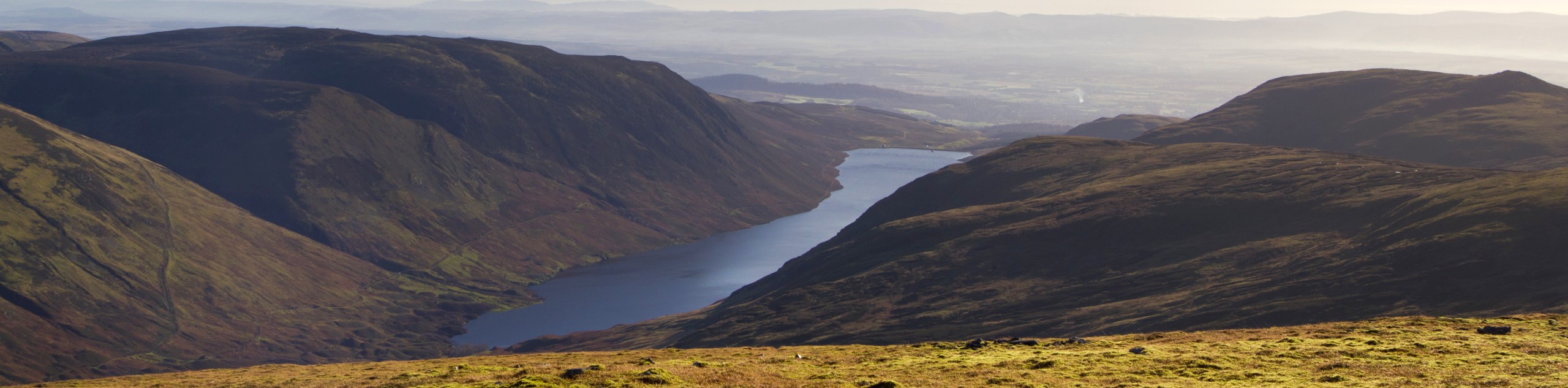
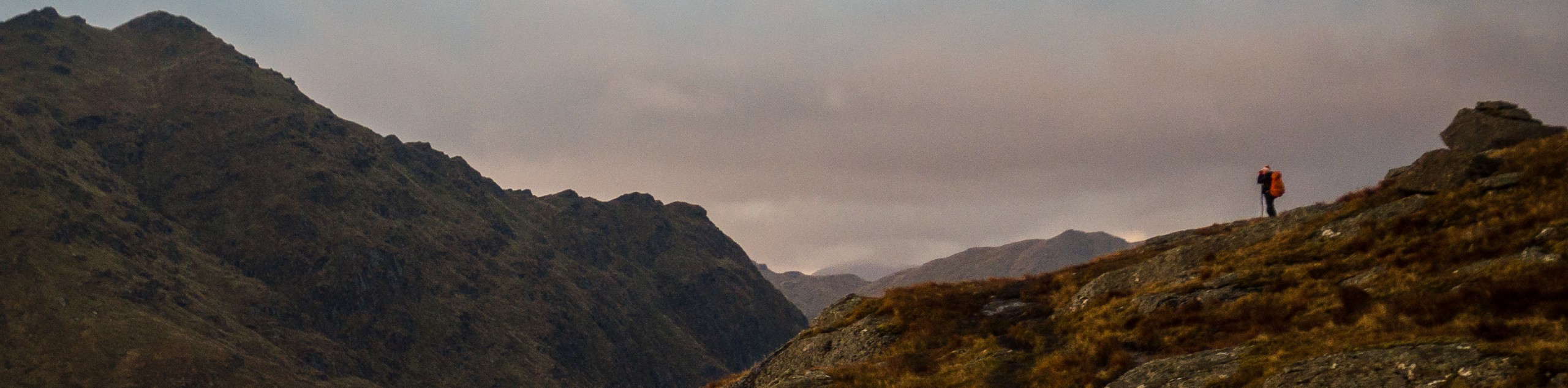
Loch Venachar is a longish, low-level hike that takes you around the perimeter of Loch Venachar. There are superb views of the Loch and surrounding mountains throughout. Make use of all the wonderful spots to stop and enjoy the countryside on this pretty walk.
Getting there
To get to the Loch Venachar trailhead, head towards Crianlarich from Callander on the A84. Once you are outside of Callander turn left onto the A821 to Aberfoyle. Follow the A821 along Loch Venachar for 4.5mi. Turn left into Little Druim Wood car park. Parking is free.

About
| When to do | March to October |
| Backcountry Campsites | No |
| Toilets | No |
| Family friendly | No |
| Route Signage | Average |
| Crowd Levels | Low |
| Route Type | Loop |
Loch Venachar Walk
Elevation Graph
Weather
Loch Venachar Walking Route Description
To start the Loch Venachar walk from the car park, go back out to the main road. Turn right and follow the road for around 328ft.
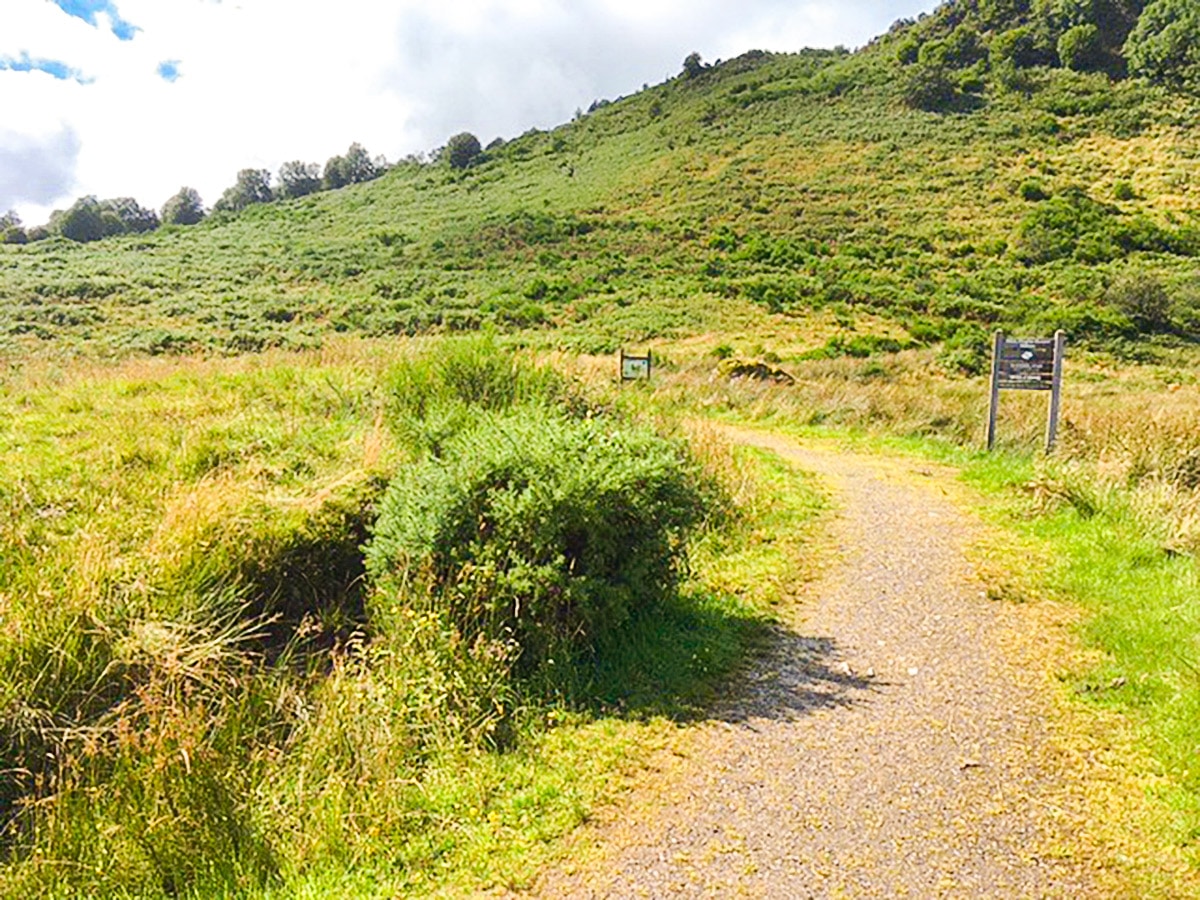
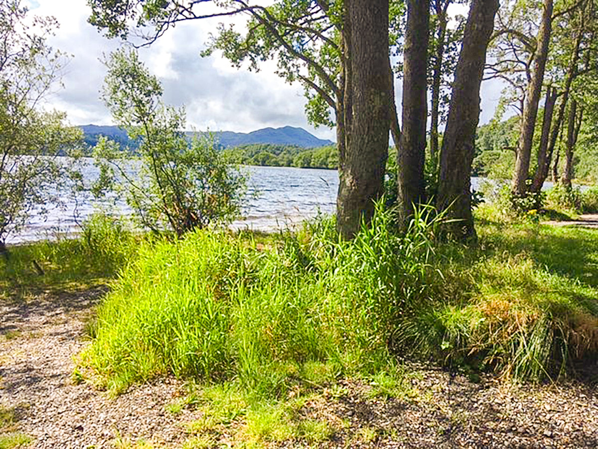
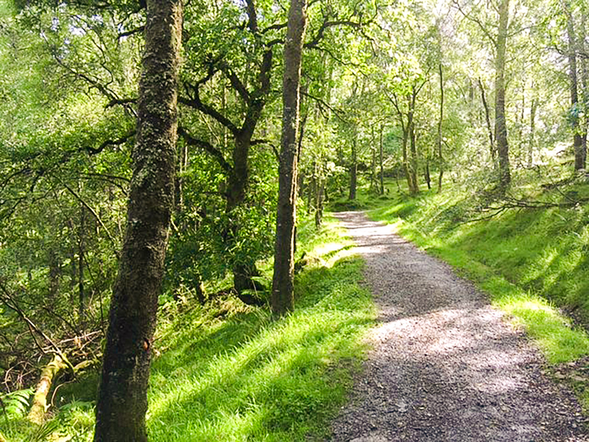
Next, you’ll turn left onto a signposted footpath leading directly uphill. Follow the footpath for just under a 0.6mi before coming to a T-junction, turning right, and crossing the hillside.
Follow this path, signposted by a ‘T’ and oak tree symbol, as it steadily climbs and traces the north shore of Loch Venachar. Follow the signs across the hillside towards the east end of Loch Venachar.
3.4mi along—after passing a large boulder and a track heading off to the left to the fort of Dun More – you will come to a junction. Turn left at the junction and follow signs towards ‘Invertrossachs’, leaving the ‘T’ route.
After 328ft you’ll meet the main road. Cross the road and follow the lane towards ‘Invertrossachs’. From there you’ll cross the small stone bridge and—upon meeting the T-junction in the road—turn right. Again, you’ll be following signs to ‘Invertrossachs’ and ‘Cycle Route 7 to Aberfoyle’. This lane now runs you down to the south shore of Loch Venachar.
As you continue along this lane, you’ll pass two small car parks, a sailing club, and a scout hut. Follow ‘Cycle Route 7’ signs. After 3.1mi, at a fork in the road, turn right. You’ll go through the metal gate again, following signs for ‘Cycle Route 7’.
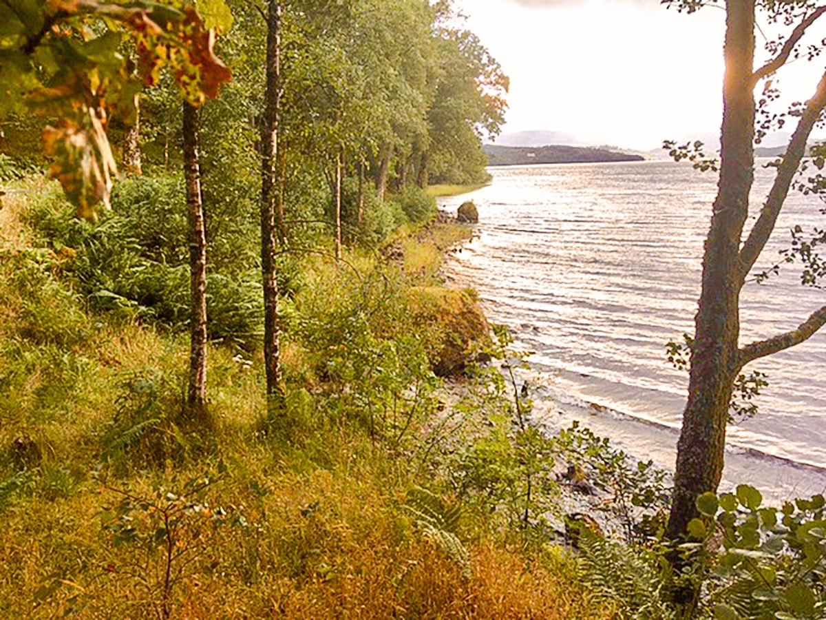
Follow this path as it winds along the south shore for a further 1.9mi, at which point a forest road joins from the left-hand side. Continue ahead and follow the signs for ‘Loch Katrine 4’. Ignore the track from the left. Then, a further 1312ft along, keep right at the next junction, following signs for ‘Three Lochs Forest Drive’.
1km further along, after crossing a concrete bridge and a cattle grid, turn right at the junction at Achray Farm. Pass through the gate, past the farm buildings and over a stone bridge, to arrive at the Byre Inn. From here, you’ll walk towards the main road, turn right onto it, and follow it for 1969ft.
Now, you can either continue following the main road all the way back to the car park or, shortly after the pavement ends and just beyond a driveway, you can take the way-marked footpath off to the right. From here take the first path off to the right through a wooden gateway. After 1km, this path leads you back to the car park and your starting point.
Walking Route Highlights
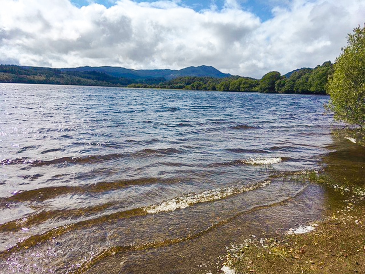
Loch Venachar
Loch Venachar is a large freshwater lake in Stirling, set in some of the loveliest scenery in the Trossachs. This 3.7 mile-long loch lies between the town of Callender and the village of Brig o’Turk, and is surrounded by beautiful forests, walking trails, cycle routes, and plenty of excellent fishing spots. The beautiful Venachar Lochside restaurant sits on the north shore, and is a wonderful place for tea, cake, lunch or a slap-up dinner with a marvellous view over the lake.
Keep your eyes open for Portnellan Island, a small Iron Age crannog (an ancient artificial island), which attests to the long history of occupation of this important region. Indeed, the lake is a historic point of interest, and was once visited by Queen Victoria herself, who stayed at the historic Invertrossachs House on the south shore of the loch. However, today it’s mainly known as a site for recreation and pleasure.
Loch Venachar is a popular spot for watersports, and in summer you’re likely to find plenty of visitors swimming, canoeing, kayaking, or sailing out on the water. The waters of the lake are well stocked with pike and brown trout, so it’s an excellent place for fishing, either from the shore or by boat.
Check out more amazing walks in Loch Lomond & The Trossachs National Park, like the Ben A’an, Ben Venue, or Ben Lomond.
Insider Hints
Venachar Lochside café/restaurant is a breathtaking spot for tea, cake, lunch or dinner- right on the loch side, it is amazing!
Detour off towards Dunmore fort for a spot of lunch and delightful views.
Have a celebratory pit stop at Byre Inn - you are almost home!
For a shorter-distance version, you can organize transport from the far end of Loch Venachar, turning this loop trail into a one-way.

Similar hikes to the Loch Venachar Walk hike
Ben Chonzie Walk
The Ben Chonzie walk invites hillwalkers to venture up the highest summit in the immediate area to reach an exciting…
Three Lochs Way: Garelochhead to Arrochar/Tarbet
The third section of the long-distance walking trail, known as the Three Lochs Way, is the longest in length and…
Ben Donich via Rest and Be Thankful Walk
The Ben Donich via Rest and Be Thankful Walk is a moderately rated 4.7mi hillwalk featuring fine views…
ShirleySyk 4 years ago
It is a unique hike where you can discover nature surrounding mountains and the lake
Minds 5 years ago
Stopped at the Venachar for a treat. And I did deserve that treat after such a long hike. It was amazing!