Ben Ledi Walk
View Photos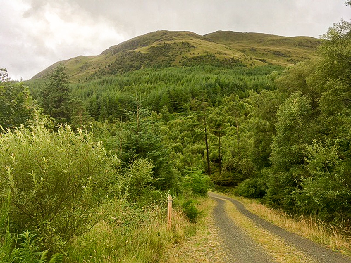
Ben Ledi Walk
Difficulty Rating:
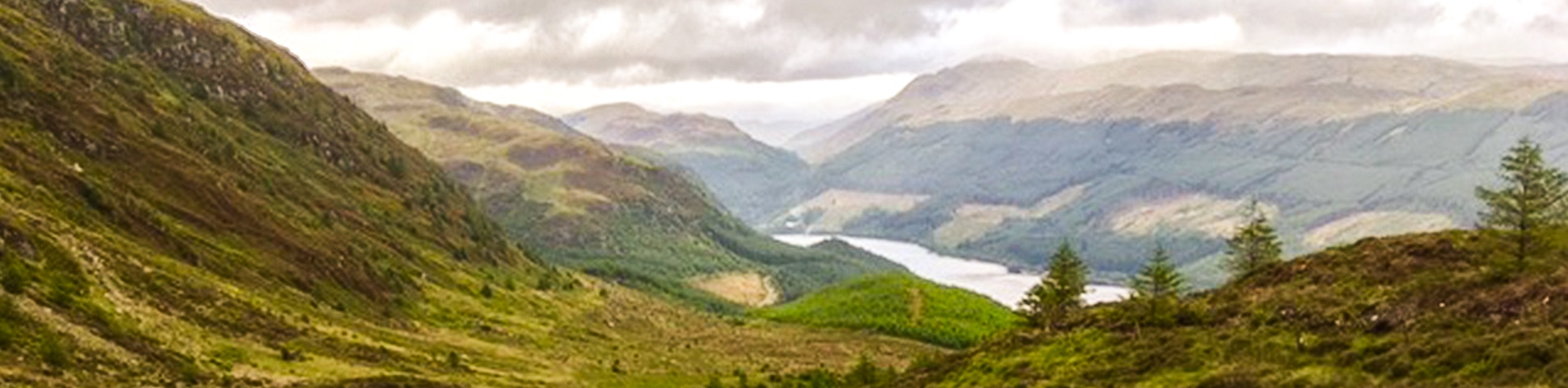
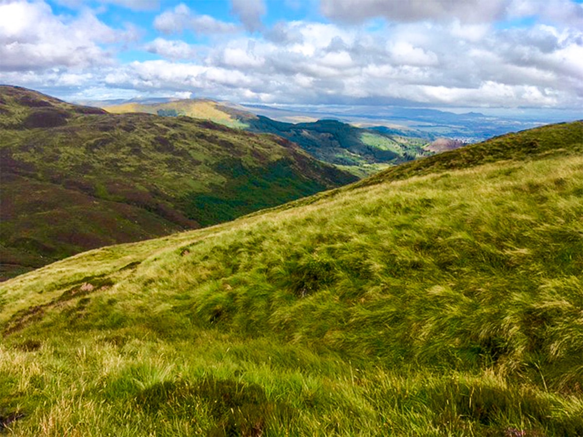
Ben Ledi offers you a tranquil walk in the charming Scottish countryside, just a short drive from Callander. Ben Ledi is the highest mountain in the main part of the Trossachs. This hike provides an excellent viewpoint and a superb climb.
Getting there
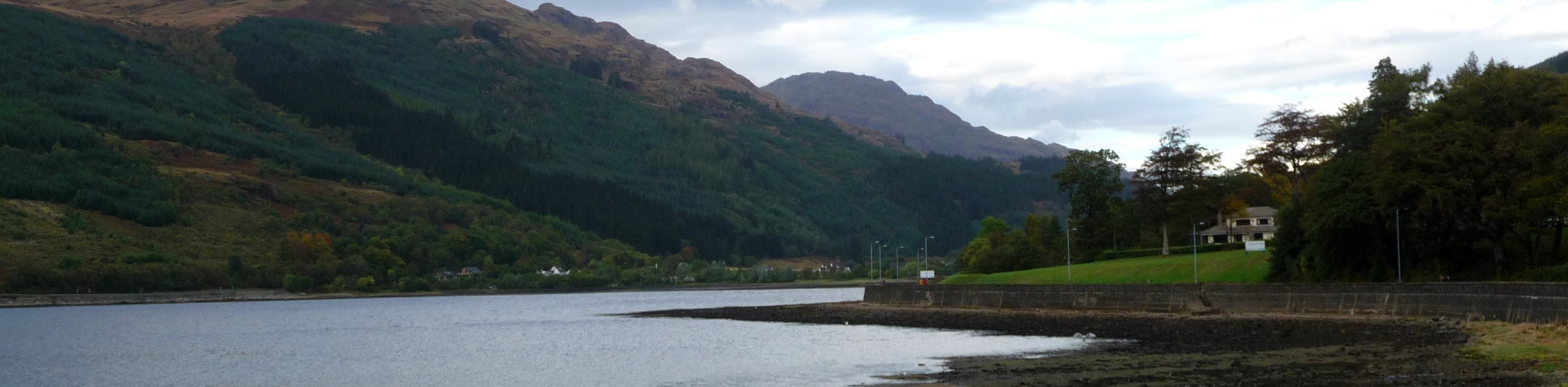
To get to Ben Ledi trailhead, from Callander go north on the A84 to Crianlarich. After 3.0mi, turn left to Strathyre Cabins. Cross the river and turn immediately right. Follow the same Cabins signs. Park at the holiday resort café.

About
| When to do | April to October |
| Backcountry Campsites | No |
| Toilets | Yes, at the café at the trailhead |
| Family friendly | No |
| Route Signage | Poor |
| Crowd Levels | Low |
| Route Type | Loop |
Ben Ledi Walk
Elevation Graph
Weather
Ben Ledi Walking Route Description
To start the Ben Ledi walk, from the café at Strathyre Cabins, turn left along the tarmacked road you drove in on, leading you further into the park.
Towards the back of the park take the junction to the left (if you pass all the cabins you’ve gone too far) that leads you to more cabins and takes you behind the café.
This tarmac track turns to a gravel track, which will eventually make its way to the Callander Community Hydro barn. Follow the footpath leading uphill to the right side of the barn. The path heads steeply uphill.
1640ft from the barn, the path joins a forested road; turn left here and continue ahead to cross a stream.
427ft further on the forest road you’ll turn right through the wooden barriers onto a smaller footpath heading uphill.
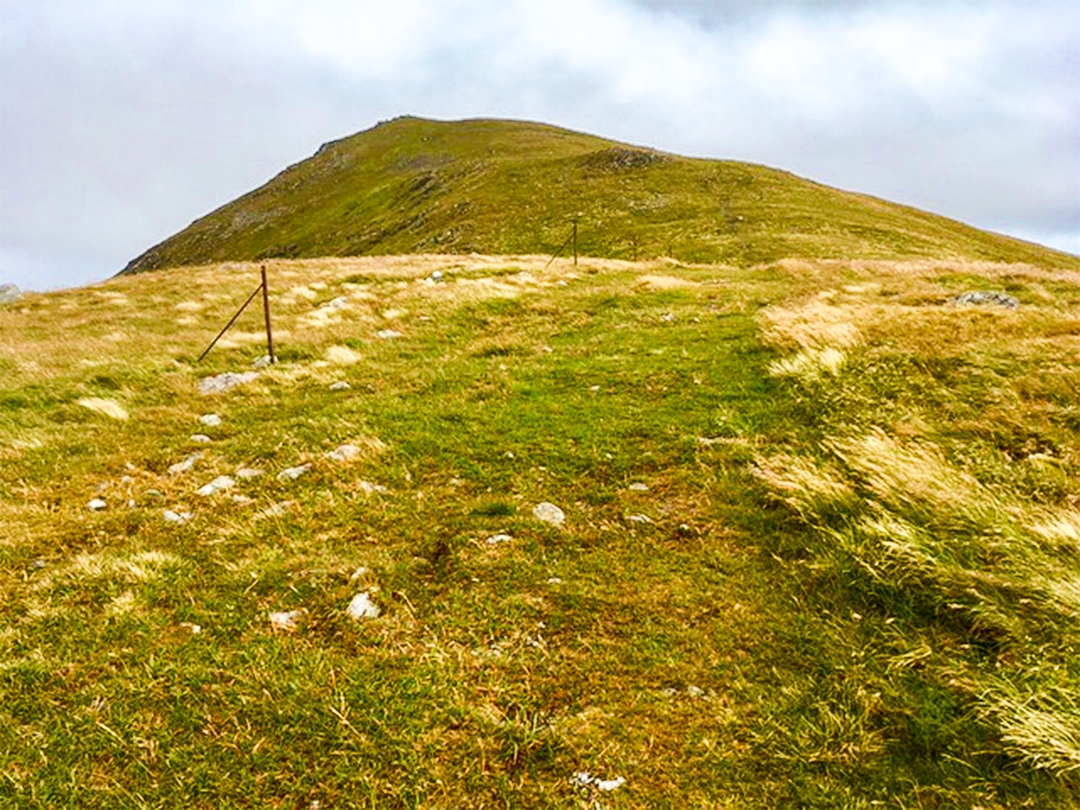
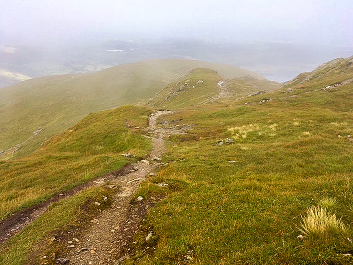
You’ll notice the summit of Ben Ledi to your left. 1640ft ahead at a junction with another path, keep left (although, the right-hand path will also bring you to the same spot a further kilometer up the hillside).
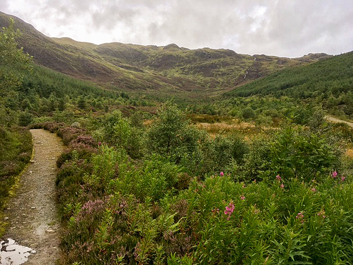
Eventually you’ll come to a T-intersection. Turn left and take the path that rises steeply up to a fence line. Cross the fence line via the kissing gate. The path follows the valley of a small stream up onto the ridge ahead, this section is approximately 0.6mi in length.
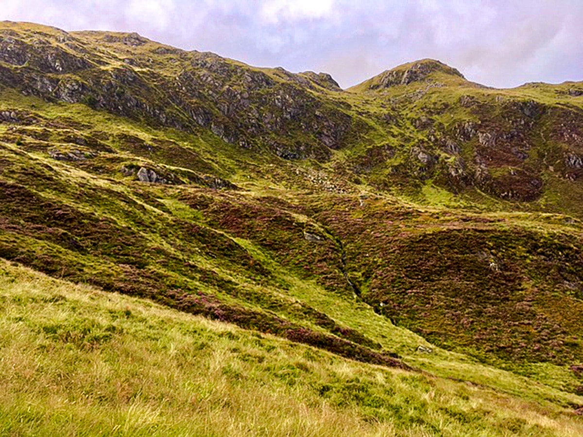
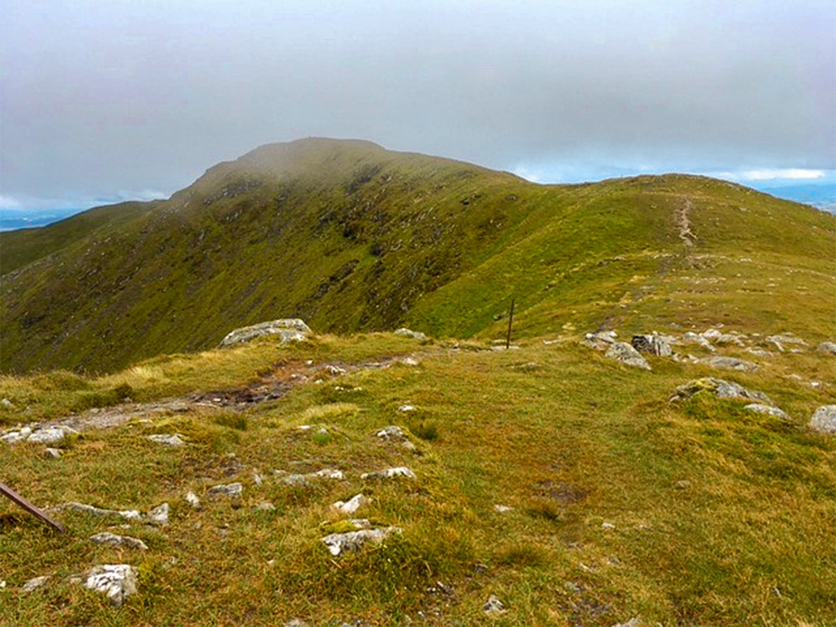
Continue across the wide ridge to a fallen fence, ignoring the vague paths off to the left. Meet the more obvious junction and turn left towards the summit.
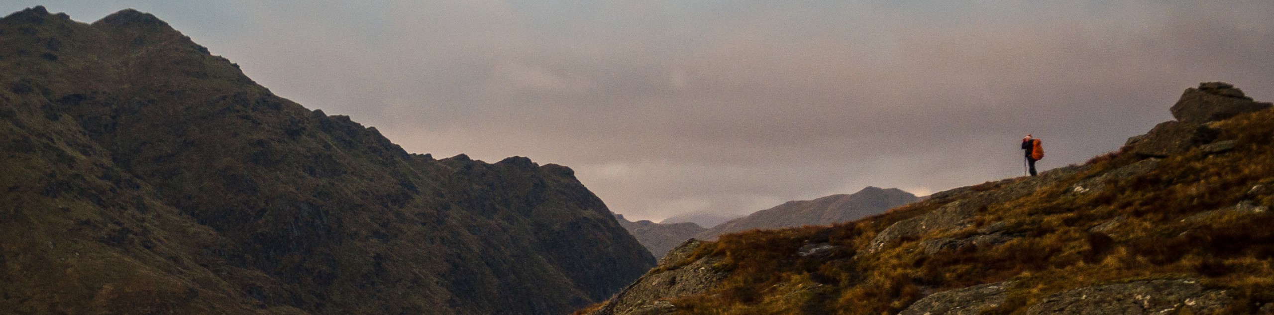
Continue to climb, following the ridgeline as it curves to your left to the summit of Ben Ledi, some 0.9mi further ahead. Don’t be fooled by the fake summits!
At the true summit, you’ll find an iron cross, erected to celebrate the life of Sgt. Harry Lawrie, who died on duty with the Killin Mountain Rescue team in 1987.
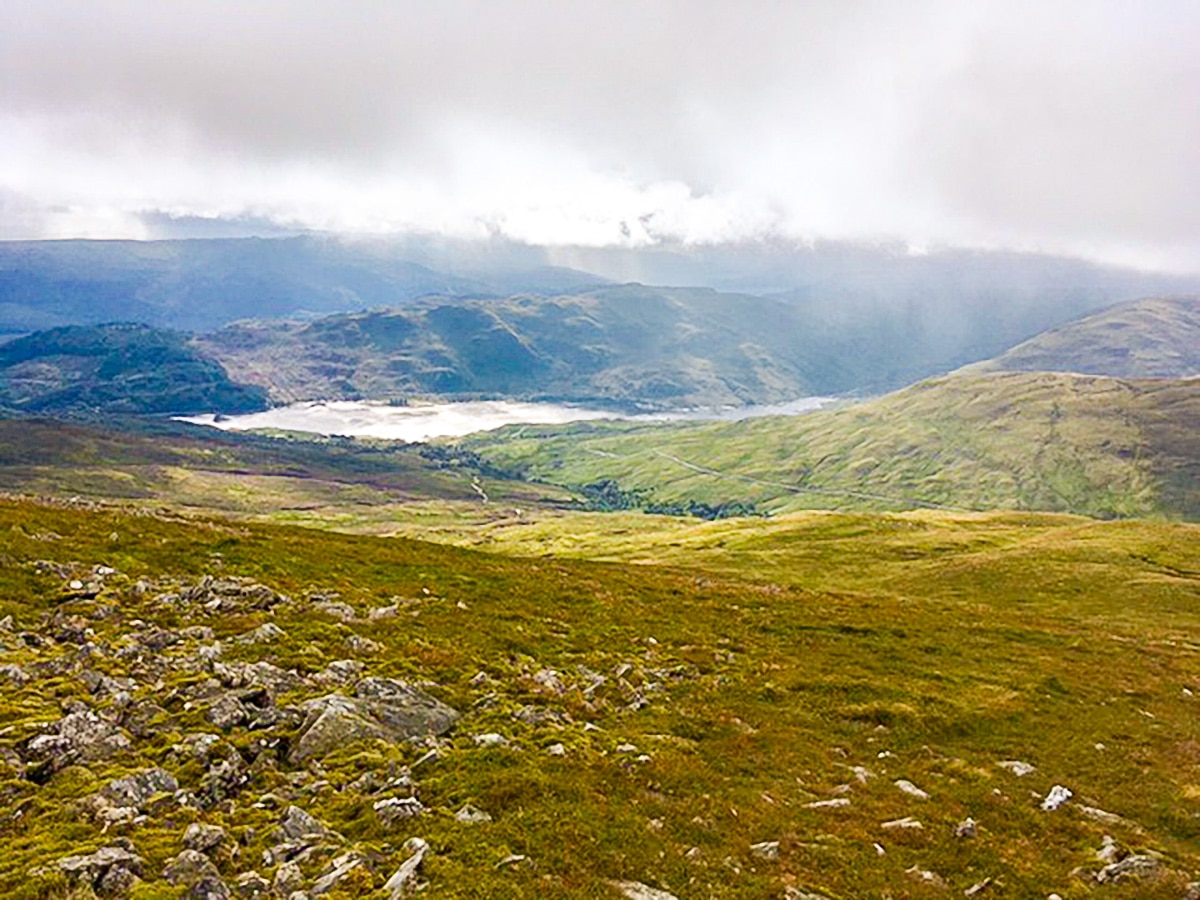
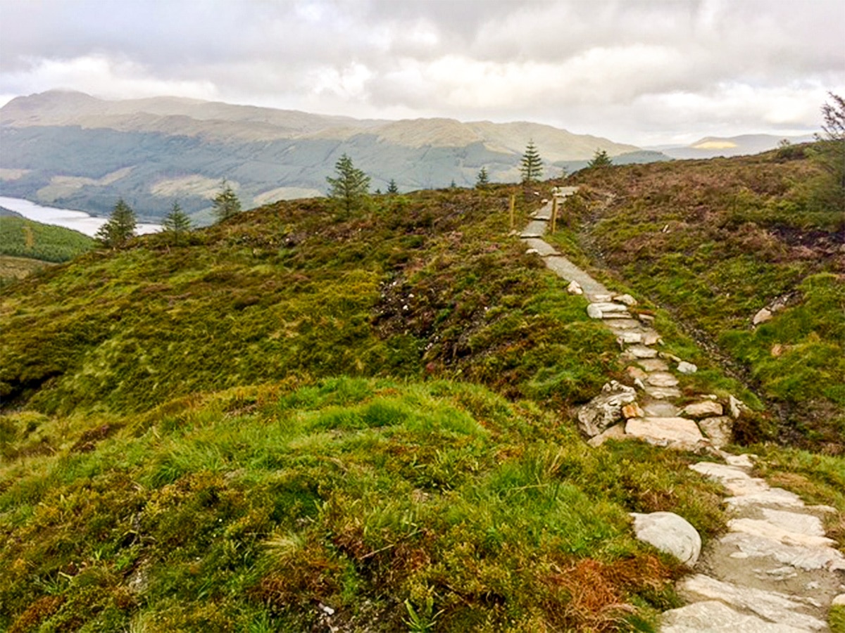
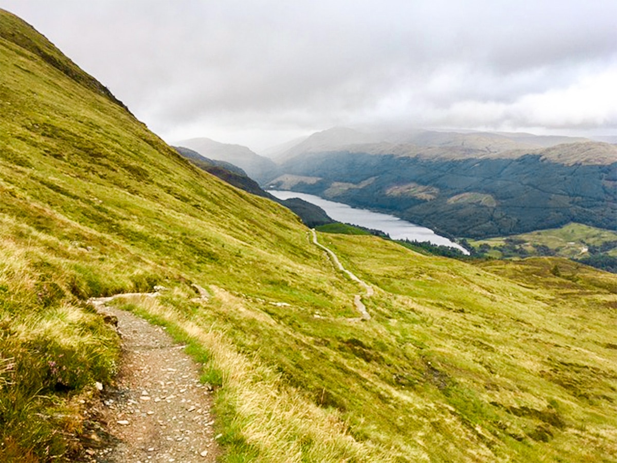
Continue ahead past the summit and follow the path along the ridge that drops away towards the south-west. This is a well-maintained path. It makes for a relatively easy descent, ideal for enjoying views down to Loch Venachar (to the right) and Loch Lubnaig (to your left).
After 1.9mi of descent, the path meets a broader track; turn left. Further along, the track is joined by another path from the left; continue ahead.
Almost 0.6mi further along, at a hairpin bend, you’ll find the small footpath that leads off the back of the bend towards the stream and heads downhill. Ignore the first path that also heads towards the stream, but actually heads uphill; you want to go downhill.
Follow the footpath with the stream to your left. You will eventually rejoin the forest road you were on before, further down the hill.
After 820ft you will see a road join from the left. Ignore this, it leads up to private property. Continue ahead! The track soon runs parallel to another. Cross the hedge line via a small gap and turn left to head back towards Strathyre Lodges. Head to the café and enjoy a reward after a great day’s walk!
Walking Route Highlights
Ben Ledi
Ben Ledi is a popular landmark in Stirling, Scotland. While Ben Ledi is a mountain, it’s actually specifically classified as a Corbett. A Corbett is any Scottish mountain over 2500ft and under 3000ft, with a drop of at least 500ft between each listed hill and any adjacent higher one. In Scotland, there are over 220 Corbetts and the term was originally coined by John Rooke Corbett–hence the name.
This Corbett is a popular landmark and one of the more distinctive mountains within the Scottish Highlands. While a steep hike, the top of Ben Ledi offers superb views over Lochs Lubnaig and Venachar below you and Ben Lomond, the Arrochar Alps and a series of Highland peaks in the distance.
Loch Venachar
Tucked away between Callander and Brig o’Turk lies Loch Venachar, a freshwater loch loved by the locals for its fantastic fishing spots. Stretching for 3.7mi, the lake offers stunning waterfronts along the surrounding trail and can be used by kayakers and canoeists looking for a peaceful paddling spot.
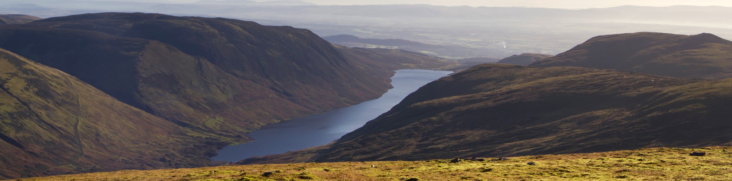
Loch Lubnaig
The Loch Lubnaig is a tiny freshwater loch in the Scottish Highlands. Located between the two popular mountains, Ben Ledi and Ben Vorlich, it’s hard to miss this stunning waterway. Looking at the lake with a birds eye view, you’ll quickly understand where Loch Lubnaig gets its name, as Lùbnaig means crooked in Gaelic.
Check out more amazing walks in Loch Lomond & The Trossachs National Park, like the Ben A’an, Ben Venue, Ben Lomond, or Loch Venachar.
Insider Hints
The Forest Retreat at Strathyre is open from 8a.m.-8p.m. Make the most of their great Scottish menu and produce. Pop in before or after your hike!
Head to Taste of the Trossachs in Callander and pick up an award-winning savory pie.
Mhor Bread & Tearoom, Mhor Fish and Mhor 84 are all worth a visit if you have time.

Similar hikes to the Ben Ledi Walk hike
Ben Chonzie Walk
The Ben Chonzie walk invites hillwalkers to venture up the highest summit in the immediate area to reach an exciting…
Three Lochs Way: Garelochhead to Arrochar/Tarbet
The third section of the long-distance walking trail, known as the Three Lochs Way, is the longest in length and…
Ben Donich via Rest and Be Thankful Walk
The Ben Donich via Rest and Be Thankful Walk is a moderately rated 4.7mi hillwalk featuring fine views…
David Kwan 5 years ago
Short hike with tons of stunning scenery. We enjoyed picture taking and breathing in the fresh air. We will be back here again for sure!
Jane 5 years ago
Ben Ledi was quite hard. But it was really lovely. We've seen some birds, might have been raptors. Did not take our good camera that time. Shame.
Iris Krukova 5 years ago
Ben Ledi trail was tough. Finally got some good weather though. Met some interesting people on the hike, and we enjoyed some nice meals after at the Forest Retreat.