Beinn Mhor Walk
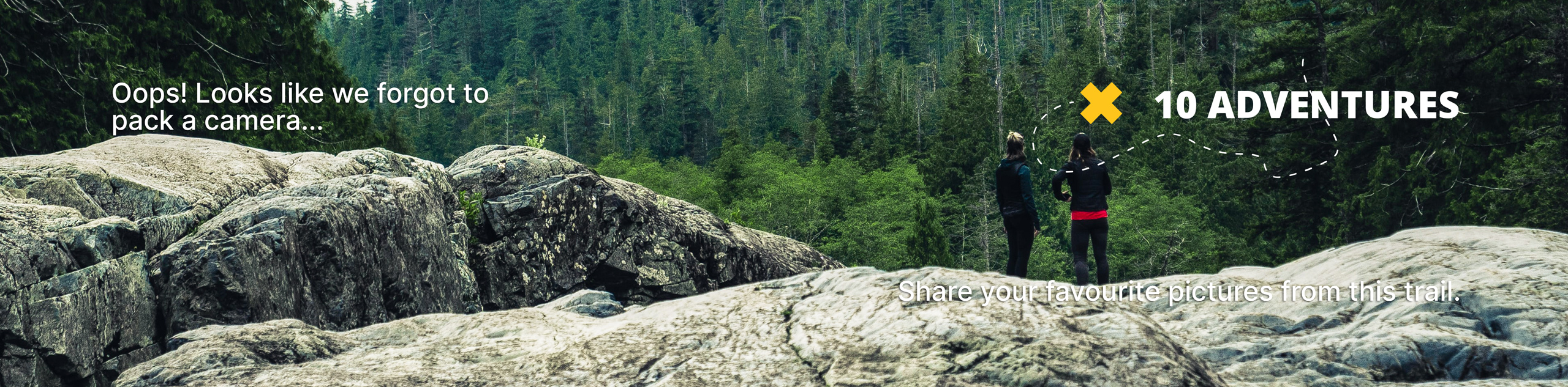
View Photos
Beinn Mhor Walk
Difficulty Rating:
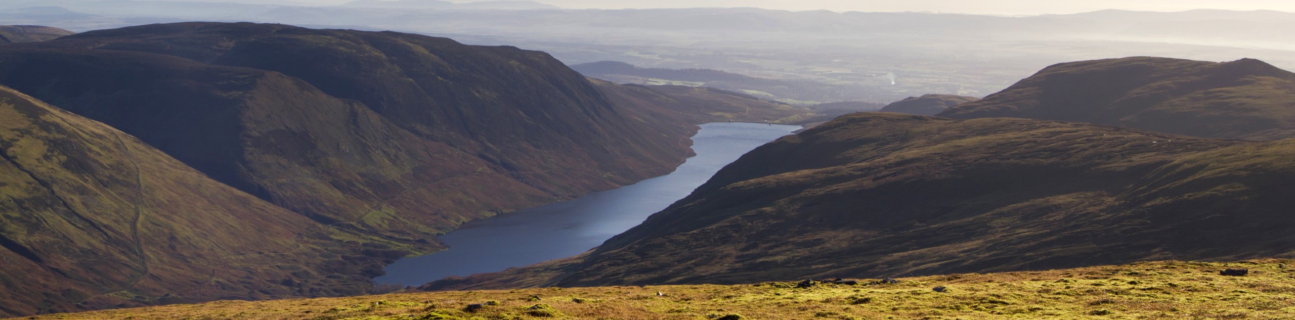
The Beinn Mhor Walk is a fantastic hill walk that takes you to the highest peak in Cowal. Reaching the summit of Beinn Mhor, you’ll unlock incredible views across the highlands as well as Loch Eck and the Clyde Estuary. Rough terrain and boggy stretches make for a challenging hike, but the views from the summit make it well worth your while.
Getting there
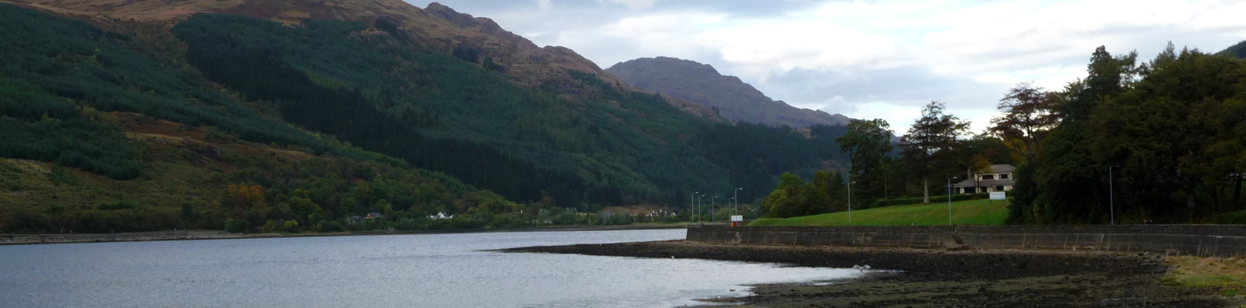
Head north on the A82 towards Loch Lomond. Make a right onto the A83 at Tarbet and switch to the A815 at Strachur. Pass lock Ech on your right hand side and follow signs for the Benmore Botanic Gardens. Park at the car park at the top of Glen Massan Road, which you’ll find just beyond the Stonefield Farm

About
| When to do | Year-Round Access |
| Backcountry Campsites | Wild camping |
| Pets allowed | Yes - On Leash |
| Family friendly | Older Children only |
| Route Signage | Average |
| Crowd Levels | Moderate |
| Route Type | Out and back |
Beinn Mhor Walk
Elevation Graph
Weather
Beinn Mhor Walk Description
Forest trails, wide open moorlands, and brilliant summit views; all this and more sums up the Beinn Mhor Walk. The trail itself is rough, boggy, and quite steep in sections of the hill climb, so proper walking boots are a must! Canine friends are welcome on the trail; however, dogs should be leashed due to grazing in the upland area.
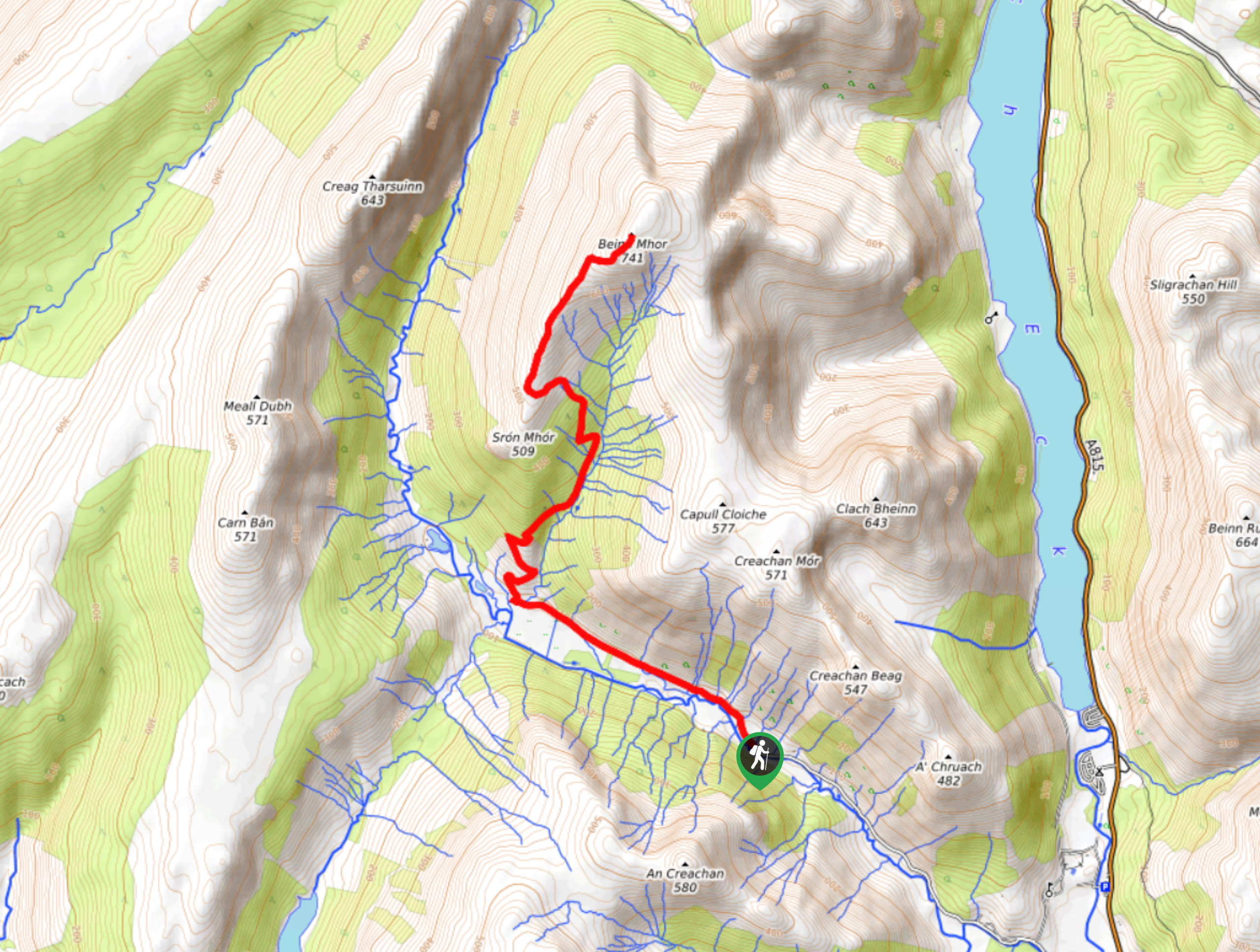
From the car park on Glen Massan Rd, take the unsurfaced road which leads through the Glen Massan Estate, walking just under 2.0mi. When you spot the stone cottage, continue another 656ft to pick up the track that leads over the River Massan, keeping your eyes peeled for the sign summoning walkers up ahead towards the climb.
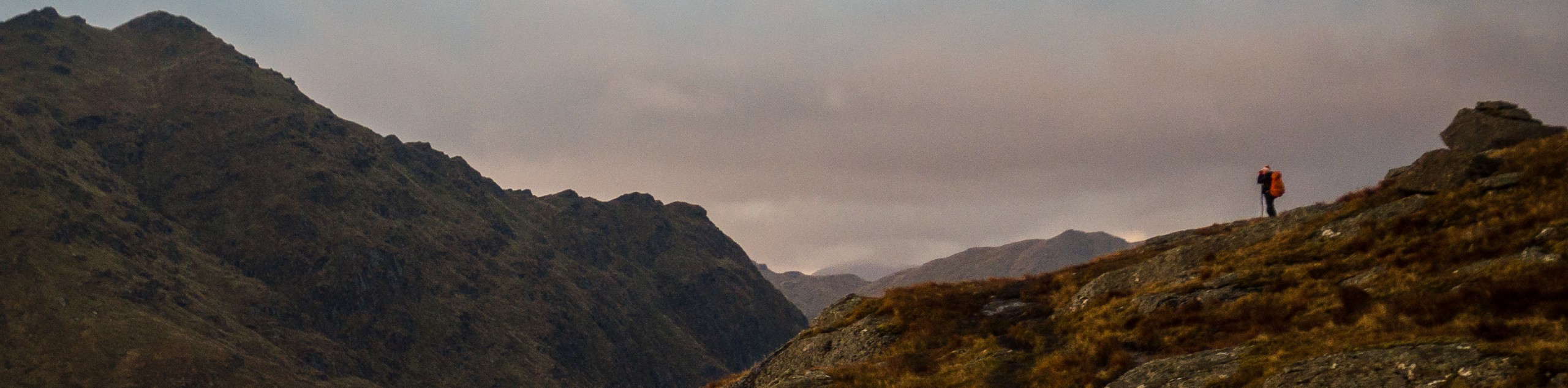
Follow the path uphill, which marks the beginning of the climb, as you make your way through a forest that eventually opens to moorland. The trail then becomes quite boggy as you make your way through the grasslands to the ridge up ahead. From the ridge, you’ll catch your first glances of the incredible views of Ben Cruachan, the Clyde Estuary, and several small isles. With the fresh highland wind at your back, continue the ridge to the summit, which you’ll reach at 2297ft. Admire the views of Loch Eck and the surrounding highlands from north to west. Give yourself a pat on the back, enjoy the views, and catch your breath before returning to the start point via the same route, making your way back to the car park where the walk began.
Similar hikes to the Beinn Mhor Walk hike
Ben Chonzie Walk
The Ben Chonzie walk invites hillwalkers to venture up the highest summit in the immediate area to reach an exciting…
Three Lochs Way: Garelochhead to Arrochar/Tarbet
The third section of the long-distance walking trail, known as the Three Lochs Way, is the longest in length and…
Ben Donich via Rest and Be Thankful Walk
The Ben Donich via Rest and Be Thankful Walk is a moderately rated 4.7mi hillwalk featuring fine views…
Comments