Beinn Ime and Beinn Luibhean Walk
View Photos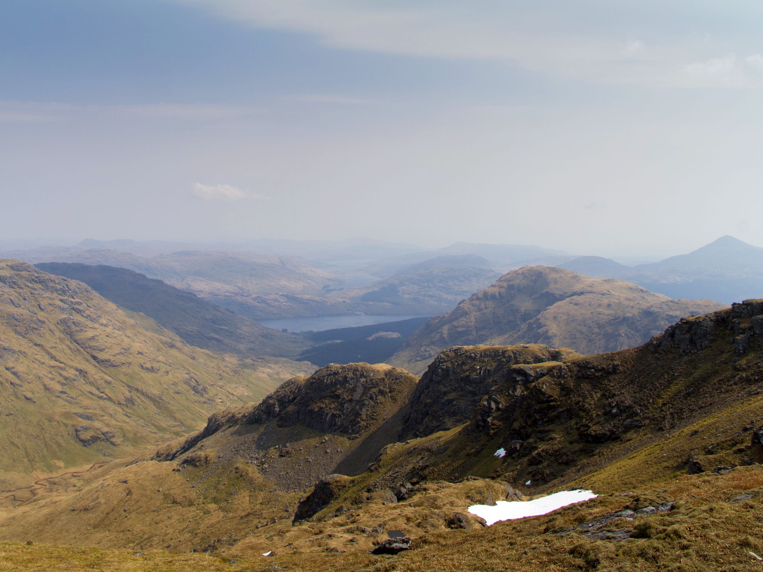
Beinn Ime and Beinn Luibhean Walk
Difficulty Rating:
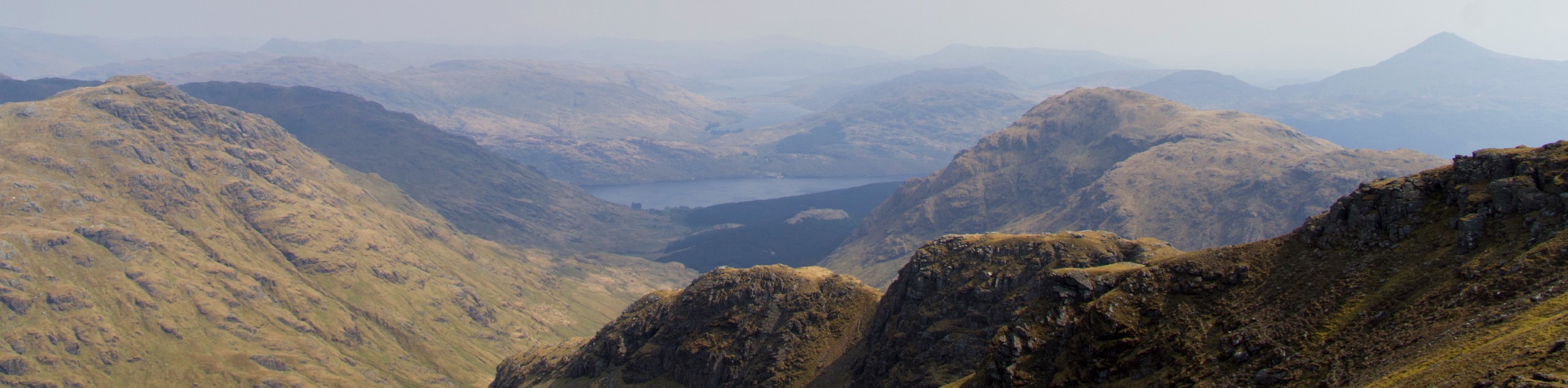
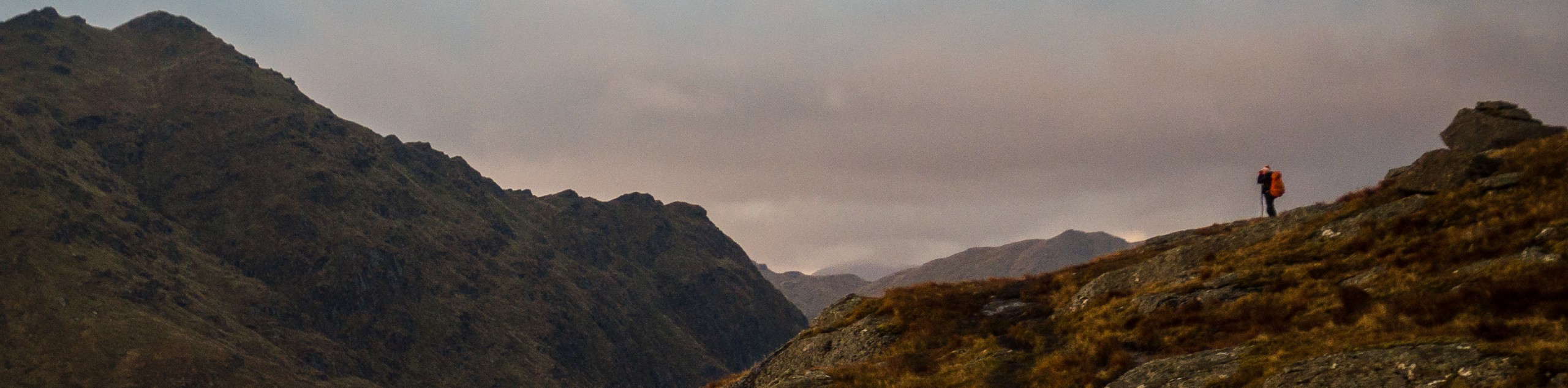
The walk of Beinn Ime (3317ft) and Beinn Luibhean (2815ft) invites hillwalkers to tackle two steep mountains in the Arrochar Alps, unlocking spectacular views from atop both summits. As the highest summit in the Arrochar Alps, the views from Beinn Ime are unparalleled. Although the terrain is rocky, you should be able to remain on two feet for the duration of the route. This walk is perfect for those looking for a challenge and enables you to check two spectacular Scottish Munros off of your list in the process!
Getting there
To get to the Beinn Ime and Beinn Luibhean Walk from Arrochar, head along the A83, past the Rest and be Thankful and Loch Restil. When the road bends, make a sharp left and cross the Kinglas Water. You’ll then spot a large car park on your left where the walk begins.

About
| When to do | Year-round access |
| Backcountry Campsites | Wild camping (permit required) |
| Pets allowed | Yes |
| Family friendly | No |
| Route Signage | Average |
| Crowd Levels | Moderate |
| Route Type | Lollipop |
Beinn Ime and Beinn Luibhean Walk
Elevation Graph
Weather
Beinn Ime and Beinn Luibhean Walk Description
The Beinn Ime and Beinn Luibhean Walk presents the alluring opportunity to rise to the challenge of reaching the summit of the highest mountain in the Arrochar Alps, Benn Ime. The 4.2mi route is short but sweet and allows you to conquer two impressive peaks in under 4 hours. The ascents of both peaks are steep, and the terrain extremely rocky, so proper footwear is a must for this walk.
The walk begins from the car park near butterbridge as you ascend via a stream towards the col between the two peaks. The summit of Beinn Ime is reached via rocky outcrops, and once there, you’ll revel in spectacular views of the surrounding Alps. Retrace your steps to the col and prepare to ascend the west summit of Beinn Luibhean. To return, head down the north ridge to rejoin the same trail running parallel to the stream from the beginning of the walk.
Similar hikes to the Beinn Ime and Beinn Luibhean Walk hike
Ben Chonzie Walk
The Ben Chonzie walk invites hillwalkers to venture up the highest summit in the immediate area to reach an exciting…
Three Lochs Way: Garelochhead to Arrochar/Tarbet
The third section of the long-distance walking trail, known as the Three Lochs Way, is the longest in length and…
Ben Donich via Rest and Be Thankful Walk
The Ben Donich via Rest and Be Thankful Walk is a moderately rated 4.7mi hillwalk featuring fine views…
Comments