Mungrisdale Round Walk
View Photos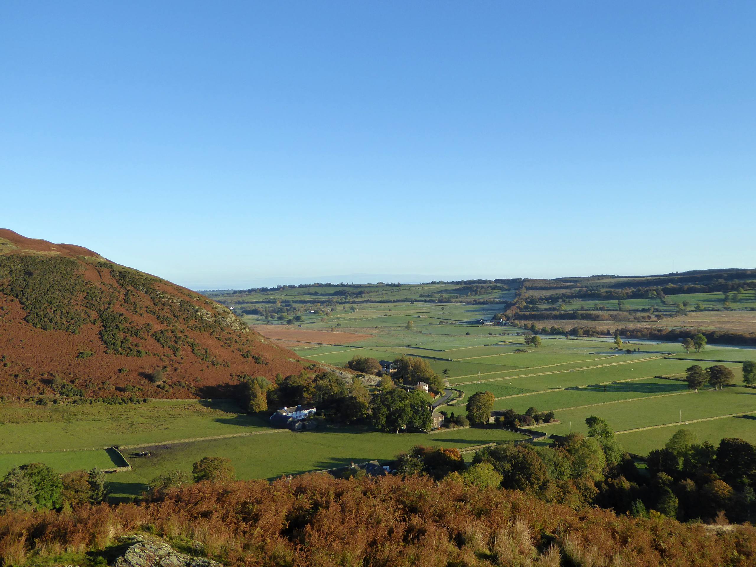
Mungrisdale Round Walk
Difficulty Rating:
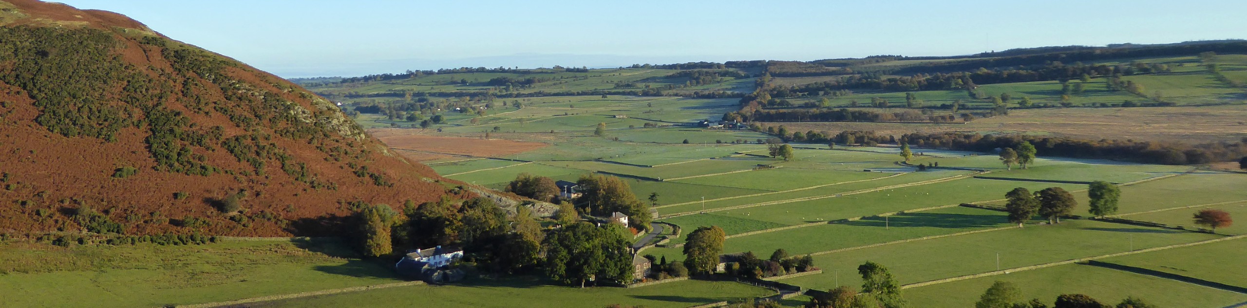
The Mungrisdale Round Walk is a great trail northeast of Keswick that climbs up some rugged terrain to summit several fells. While out on the trail, you will make your way up the steep hillside to the top of Souther Fell, continuing west along the undulating terrain to reach the top of both Bannerdale Crags and Bowscale Fell. The feeling that you will get along this walk is one of remoteness, with a bleak landscape spreading out in all directions that is interrupted only by the rugged terrain of the hilltops.
Getting there
To reach the parking area for the Mungrisdale Round Walk from Keswick, head east on Penrith Road for 0.8mi and turn left onto Penrith Road/A591, following it for another 0.5mi. Merge onto the A66 and follow it for 5.6mi before turning left onto Mungrisdale Caldbeck. Continue on for 1.9mi, where you will find parking on the left.

About
| When to do | March-October |
| Backcountry Campsites | No |
| Pets allowed | Yes - On Leash |
| Family friendly | Older Children only |
| Route Signage | Average |
| Crowd Levels | Moderate |
| Route Type | Circuit |
Mungrisdale Round Walk
Elevation Graph
Weather
Mungrisdale Round Walk Description
Walking the Mungrisdale Round will take you on a fairly remote journey to summit several fells that feature terrain that can be rugged and tough to navigate in certain areas. Be sure to bring a trail map or GPS in order to stick to the proper route. Additionally, portions of this walk might be boggy, making water-resistant footwear a great option to stay dry and comfortable on the trail.
Setting out from the parking area in the village of Mungrisdale, head south along the road for a short distance and cross over the River Glenderamackin, following the road that runs parallel to the river bank before branching off on a path leading to the northwest. Here, you will climb up the steep hillside until you arrive at the summit viewpoint atop Souther Fell. Enjoy the views of the surrounding Lake District landscape as you traverse the ups and downs of the hilly terrain to the northwest, making your way over the summit of Bannerdale Crags to eventually arrive at the top of Bowscale Fell.
From this point, you will be surrounded by mountains in every direction, with Blencathra to the southwest and Skiddaw to the west being the tallest. Continue north along the trail and descend the hillside before passing by the serene waterside atmosphere of Bowscale Tarn. Follow the trail east along the valley floor and make your way past the village of Bowscale, turning towards the south on the final approach back to the starting point of the walk in Mungrisdale. If you are looking for post-walk refreshments, the Mill Inn is a great spot just a short distance from the trailhead.
Similar hikes to the Mungrisdale Round Walk hike

Osprey Viewpoint & Bassenthwaite Lake Walk
The Osprey Viewpoint & Bassenthwaite Lake Walk is a scenic Lake District adventure that will expose you to some beautiful…

Hawkshead, Wray Castle, and Windermere Walk
The Hawkshead, Wray Castle, and Windermere Walk is a fantastic journey that will lead you through some picturesque locations that…

Pike of Blisco and Crinkle Crags Walk
The Pike of Blisco and Crinkle Crags Trail is a challenging adventure that will see you climb several rugged peaks…
Comments