Hallin Fell Walk
View Photos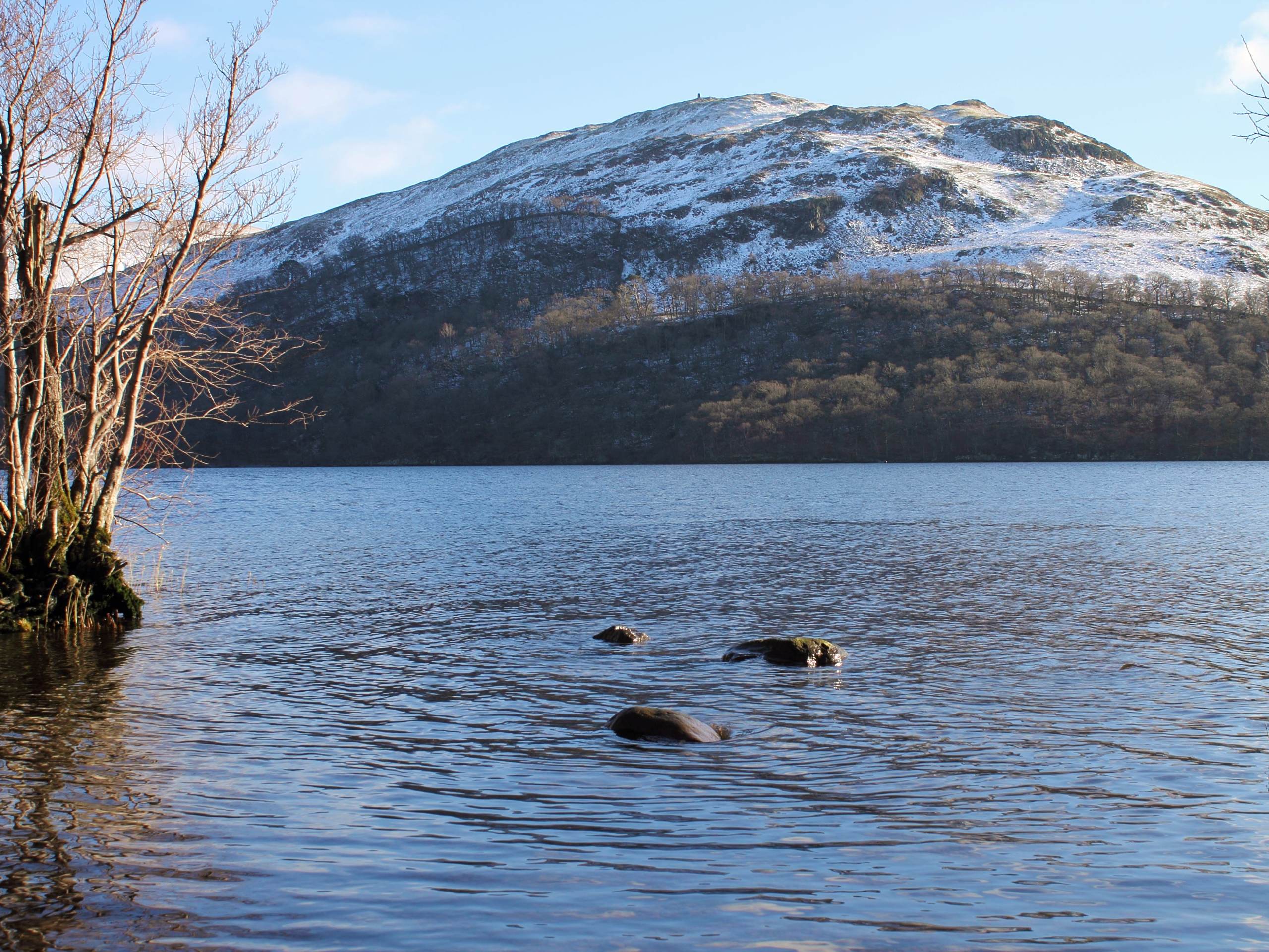
Hallin Fell Walk
Difficulty Rating:
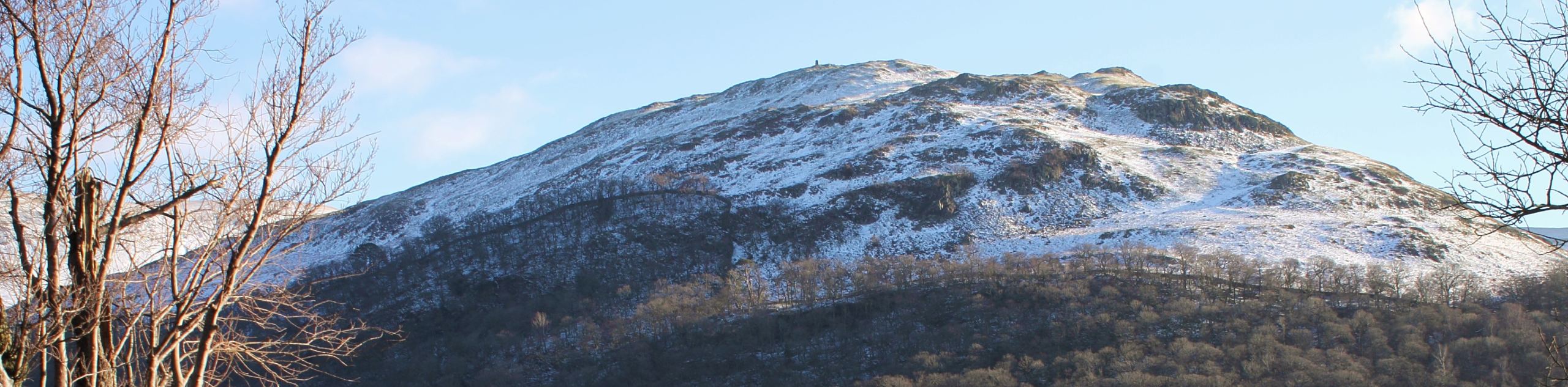
The Hallin Fell Walk is a short 1.2mi circuit that will take you up to a summit viewpoint overlooking Ullswater and the beautiful landscape of the Lake District. The trail will see you climb gently uphill through the rugged moorland terrain of Hallin Fell before coming to the rock cairn marking the viewpoint. This quick adventure with breathtaking views can be enjoyed by walkers of almost every skill level and is perfectly suited for a weekend excursion with the family
Getting there
To reach the car park for the Hallin Fell Walk from Pooley Bridge, make your way southeast for 0.1mi on High Street and turn right at the first cross street. Follow this for 3.2mi and keep to the right, continuing on for another 0.4mi. Make a slight right here and follow the road for 0.7mi to find the car park on the right.

About
| When to do | Year-Round |
| Backcountry Campsites | No |
| Pets allowed | Yes - On Leash |
| Family friendly | Yes |
| Route Signage | Average |
| Crowd Levels | Moderate |
| Route Type | Circuit |
Hallin Fell Walk
Elevation Graph
Weather
Hallin Fell Walk Description
Besides a bit of boggy terrain along the trail, the only real downside to the Hallin Fell Walk is that it simply just isn’t long enough! If you are looking to extend your walk to spend some extra time taking in the amazing views overlooking Ullswater and the surrounding fells of the Lake District, make sure to bring a GPS or trail map in order to follow some of the intersecting trails that can be found in the area. Additionally, spaces at the car park are limited, so be sure to arrive early enough to secure one.
Setting out from the car park, the trail will take you east along the road for a short distance before turning to the north to begin the climb uphill. Here, you will traverse a stretch of moorland terrain that can sometimes be a bit boggy, making water-resistant boots a good idea if you are planning to complete this route in wet weather. After reaching the carin at the summit of Hallin Fell, you will be ankle to enjoy sweeping views of the surrounding Lake District landscape that includes the deep blue expanse of Ullswater before you, as well as Gowbarrow Fell, Green Hill, and Birk Crag across the water to the north. After taking in the views, take the trail leading to the southwest to descend the hillside along a different route that will lead you right back to the car park where you began your adventure.
Similar hikes to the Hallin Fell Walk hike

Osprey Viewpoint & Bassenthwaite Lake Walk
The Osprey Viewpoint & Bassenthwaite Lake Walk is a scenic Lake District adventure that will expose you to some beautiful…

Hawkshead, Wray Castle, and Windermere Walk
The Hawkshead, Wray Castle, and Windermere Walk is a fantastic journey that will lead you through some picturesque locations that…
Nether Wasdale and Wastwater Walk
The Nether Wasdale and Wastwater Walk is a fairly relaxing stroll through a variety of Lake District terrain that will…
Comments