Buttermere to Rannerdale Walk
View Photos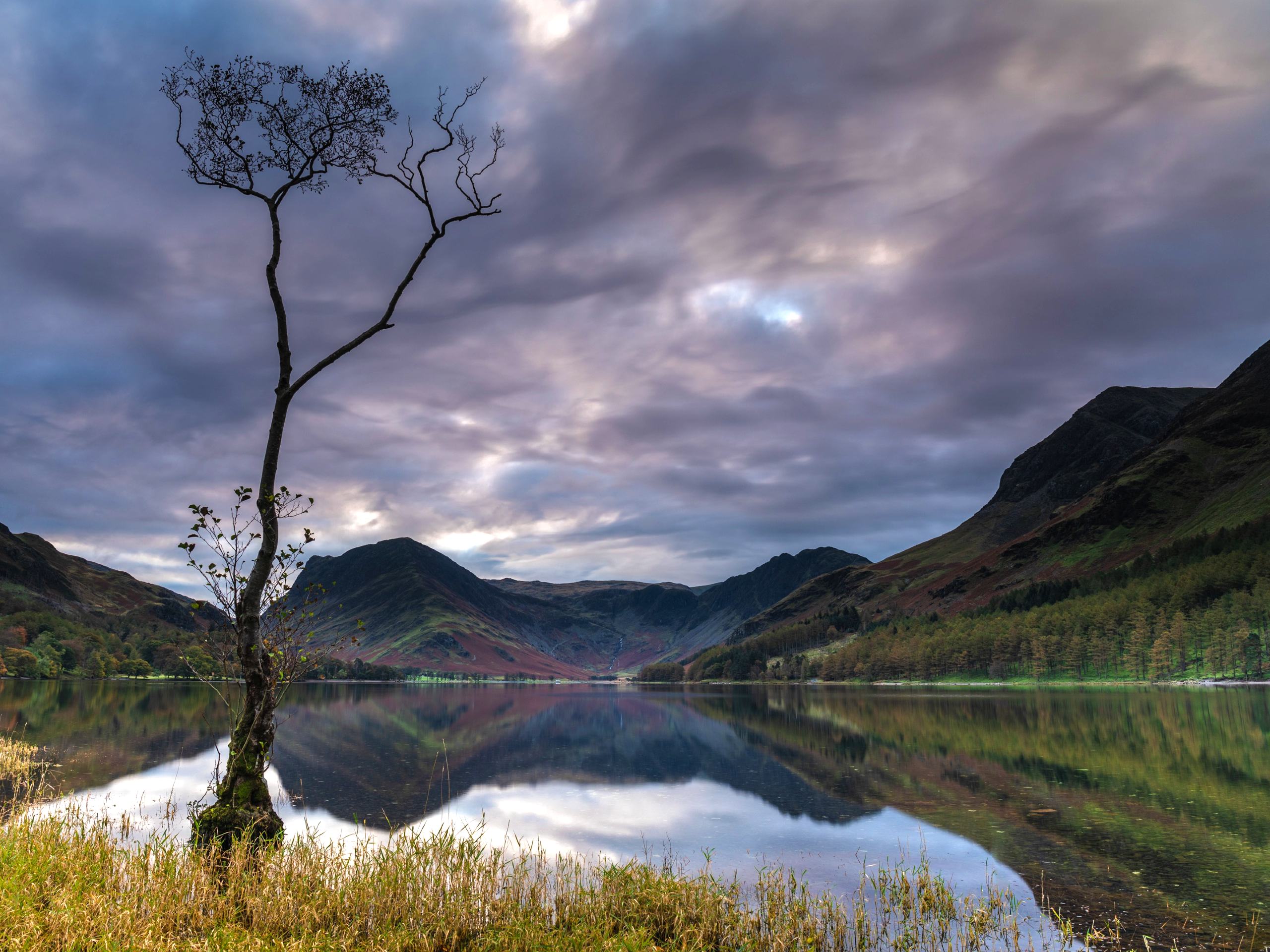
Buttermere to Rannerdale Walk
Difficulty Rating:
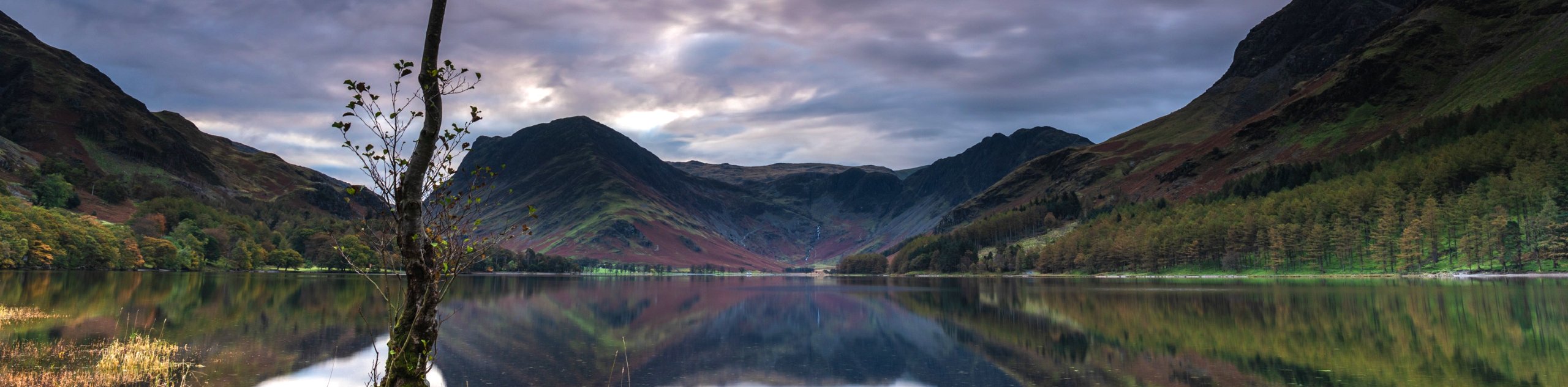
The Buttermere to Rannerdale Walk is a short route that will take you from the village of Buttermere up through some rugged terrain to reach the summit of this small, rounded fell. While out on the trail, you will climb up the rugged terrain of the ridge and enjoy scenic views over Crummock Water, Buttermere Lake, and the Secret Valley of Rannerdale, before descending the hill to the edge of the water. This is only a short walk, but the stunning views will make you wish that the trail was a whole lot longer.
Getting there
To reach the car park for the Buttermere to Rannerdale Walk from Keswick, drive to the southeast for 12.8mi on Borrowdale Road/B5289 and you will find the car park on the left.

About
| When to do | March-November |
| Backcountry Campsites | No |
| Pets allowed | Yes - On Leash |
| Family friendly | Older Children only |
| Route Signage | Average |
| Crowd Levels | Moderate |
| Route Type | Circuit |
Buttermere to Rannerdale Walk
Elevation Graph
Weather
Buttermere to Rannerdale Walk Description
The Buttermere to Rannerdale Walk traverses some fairly rugged terrain, both on the ascent and descent of the summit. Be sure to wear proper walking boots with good ankle support to safely make your way along the trail. Additionally, this trail is dog-friendly; however, your canine friends will need to remain on a leash to avoid interactions with livestock and other walkers.
Setting out from the car park, make your way across the road and cross over the stile, following the grassy path up the hillside. As the slope becomes more steep, keep left to make your way up the ridge while enjoying some nice views over Buttermere. Continue northwest along the rugged terrain until you reach the summit, where you will experience some beautiful views of Crummock Water and the Secret Valley of Rannerdale. From here, make your descent along the steep hillside toward the water and follow the trail southeast along the edge of the lake to Nether How Woods. Continue along the path through the forest as it turns east, completing the return leg of the walk back to the car park where you began.
Similar hikes to the Buttermere to Rannerdale Walk hike

Osprey Viewpoint & Bassenthwaite Lake Walk
The Osprey Viewpoint & Bassenthwaite Lake Walk is a scenic Lake District adventure that will expose you to some beautiful…

Hawkshead, Wray Castle, and Windermere Walk
The Hawkshead, Wray Castle, and Windermere Walk is a fantastic journey that will lead you through some picturesque locations that…

Pike of Blisco and Crinkle Crags Walk
The Pike of Blisco and Crinkle Crags Trail is a challenging adventure that will see you climb several rugged peaks…
Comments