
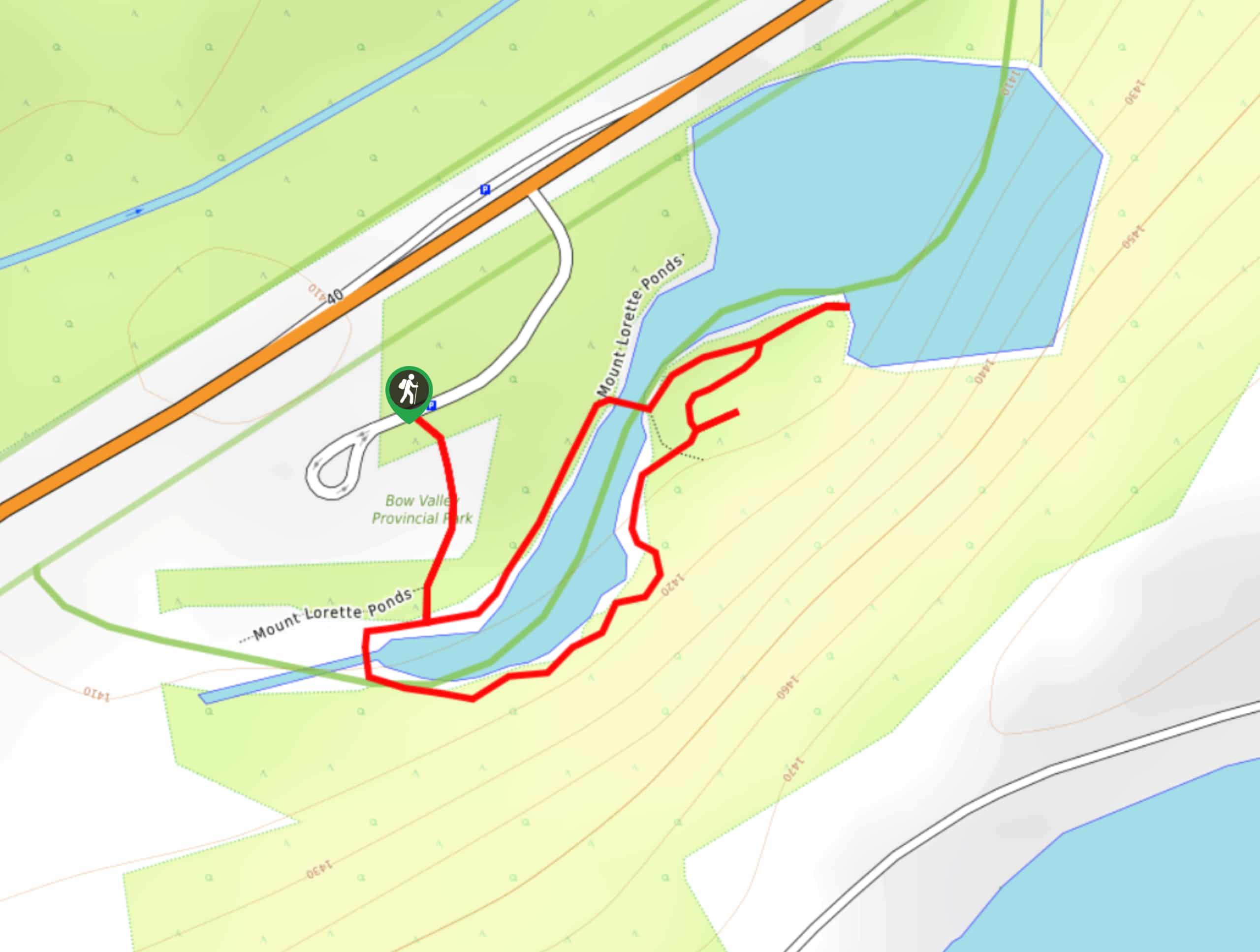
Mount Lorette Ponds Trail
View Photos
Mount Lorette Ponds Trail
Difficulty Rating:
The trail around the Mount Lorette Ponds is a great way to take a quick stroll in the heart of Kananaskis. It is perfect for all abilities and is best paired with time spent at the day use area picnicking and enjoying the water. Plan to spend a half day with the family here or stop in after a bigger hike or scramble along Highway 40.
Getting there
To get to Mount Lorette Ponds, you will need to make your way to the Porcupine Creek day use area parking. From the entrance to Highway 40 from the Trans Canada Highway, travel 11.2mi to the Porcupine Creek parking area on the left. This is where the Mount Lorette Ponds trail and picnic area are located.

About
| When to do | May-October |
| Backcountry Campsites | No |
| Pets allowed | Yes - On Leash |
| Family friendly | Yes |
| Route Signage | Average |
| Crowd Levels | High |
| Route Type | Lollipop |
Mount Lorette Ponds Trail
Elevation Graph
Weather
Mount Lorette Ponds Trail Description
The Mount Lorette Ponds hike is a simple trail that wraps around the Mount Lorette Ponds. It is a stunning trail perfect for all abilities. At 0.7mi and almost no elevation gain, the boardwalks and footbridges here will transport you to a quaint wilderness escape. Head north from the parking area to the ponds. Follow the short trail around the ponds which is perfect for fishing, bird-watching, and mountain views.
Find other amazing hikes in Kananaskis Country
- Kananaskis – Smith Dorrien Trail: Chester Lake, Tent Ridge, Burstall Pass, West Wind Pass and Rummel Lake.
- Bragg Creek and Sheep River Provincial Park: Prairie Mountain, Powderface Ridge, Nihahi Ridge and ForgetMeNot Ridge.
- Kananaskis Trail: Troll Falls, Rawson Lake, Wasootch Ridge, Sarrail Ridge and Pocaterra Ridge.
Similar hikes to the Mount Lorette Ponds Trail hike
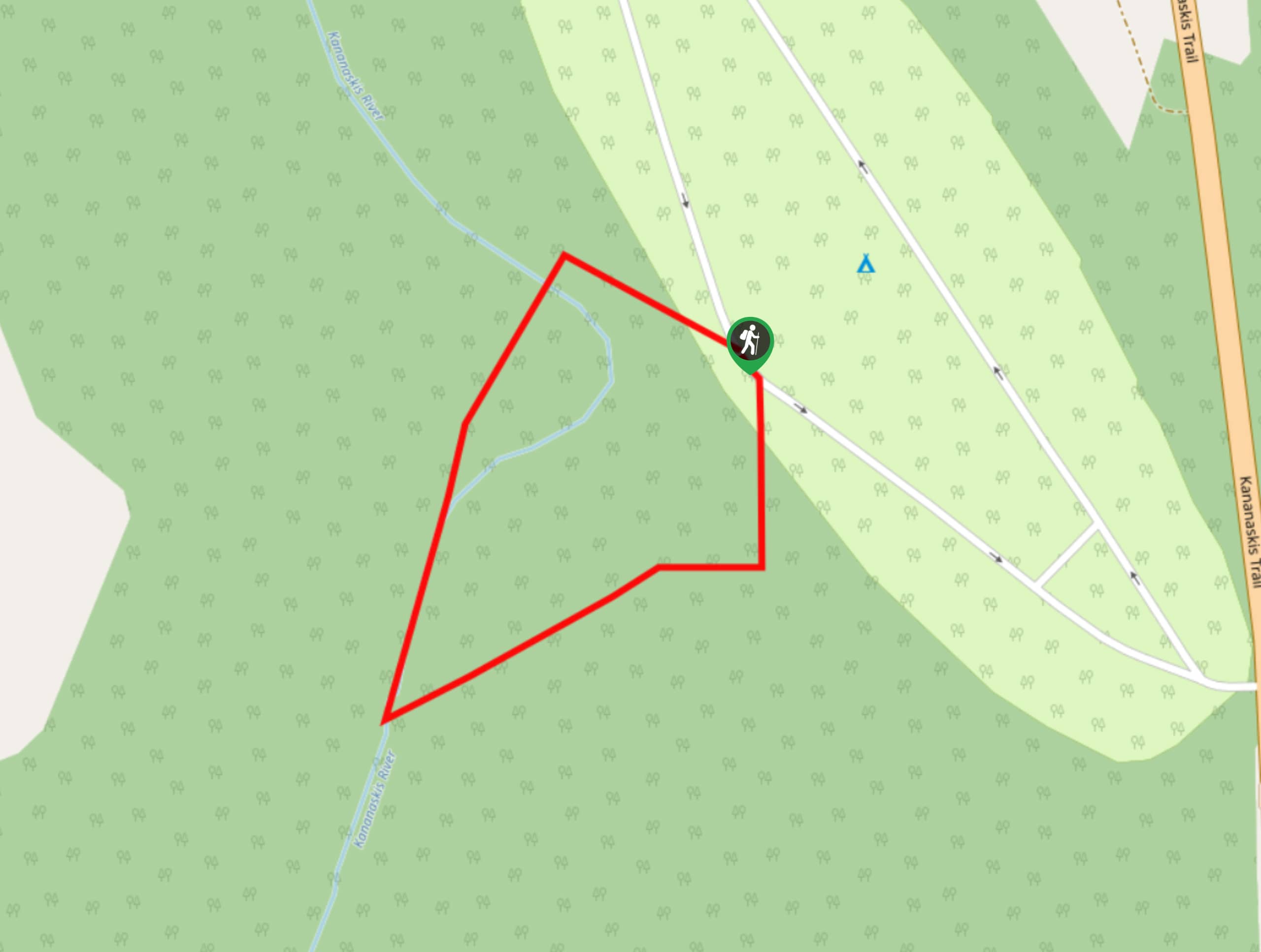
Eau Claire Hiking Trail Loop
This short and sweet trail is a great way to stretch the legs along Highway 40. The Eau Claire Hiking…
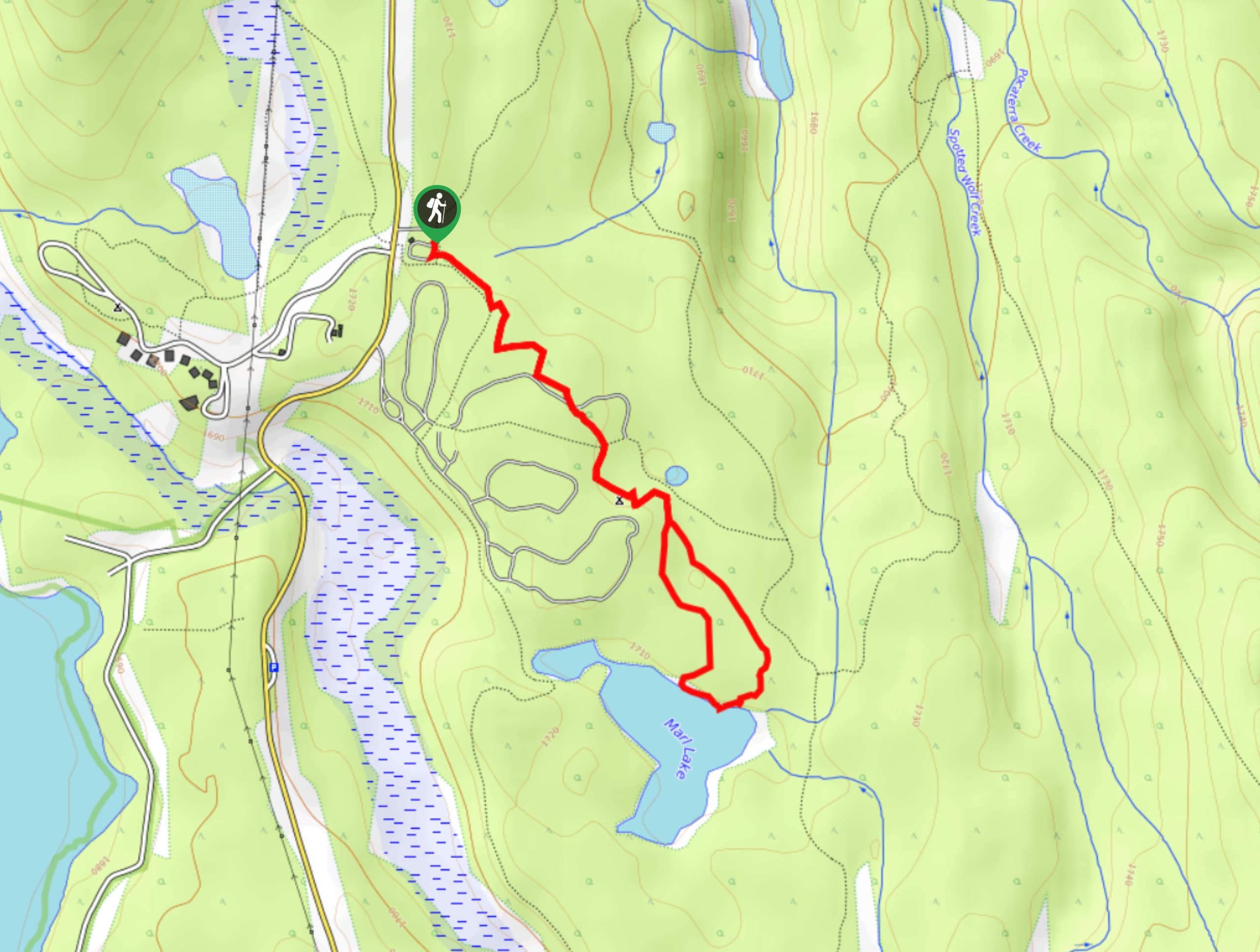
Marl Lake Trail
The Marl Lake trail is a moderately trafficked trail near Lower Kananaskis Lake that is accessible for all abilities. It…
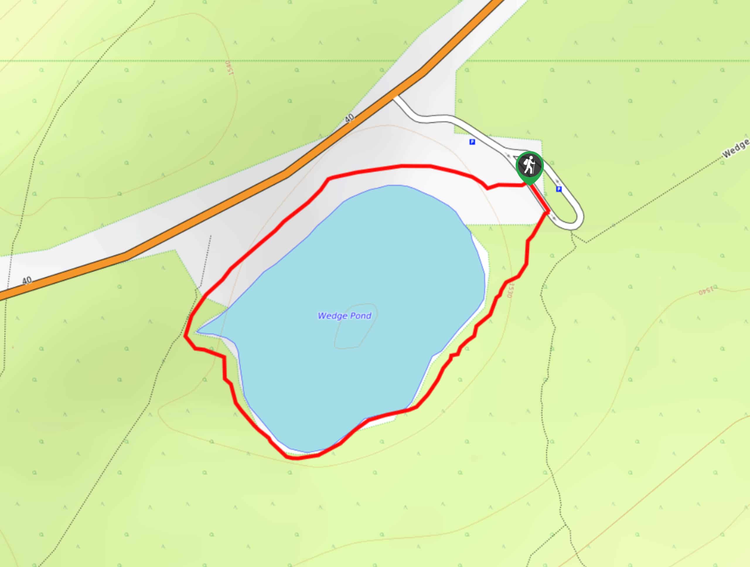
Wedge Pond Trail
Hiking the Wedge Pond trail is as relaxed as things get in Kananaskis. The 1km trail wraps around the shore…
Comments