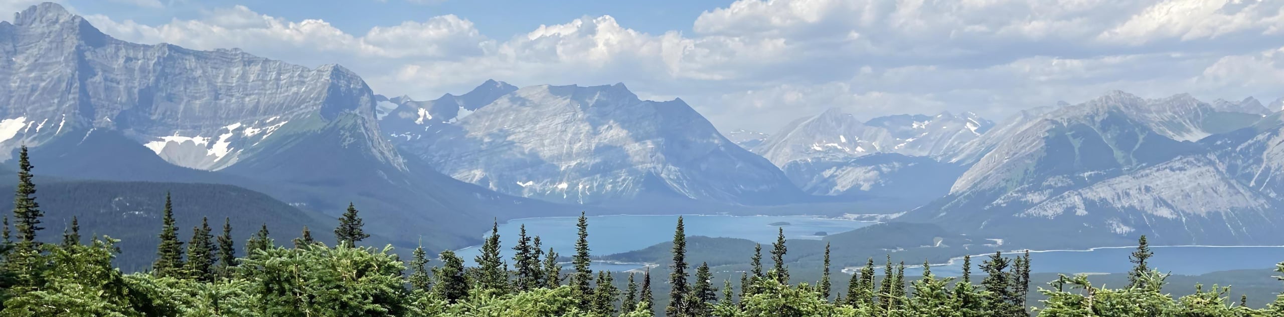
Cat Creek Waterfall Hike
View Photos
Cat Creek Waterfall Hike
Difficulty Rating:
The trail to Cat Creek Waterfall is a beautiful forested trail that is perfect for all abilities. It is a great stopping point in Kananaskis Country and a must-do along Highway 40.
Getting there
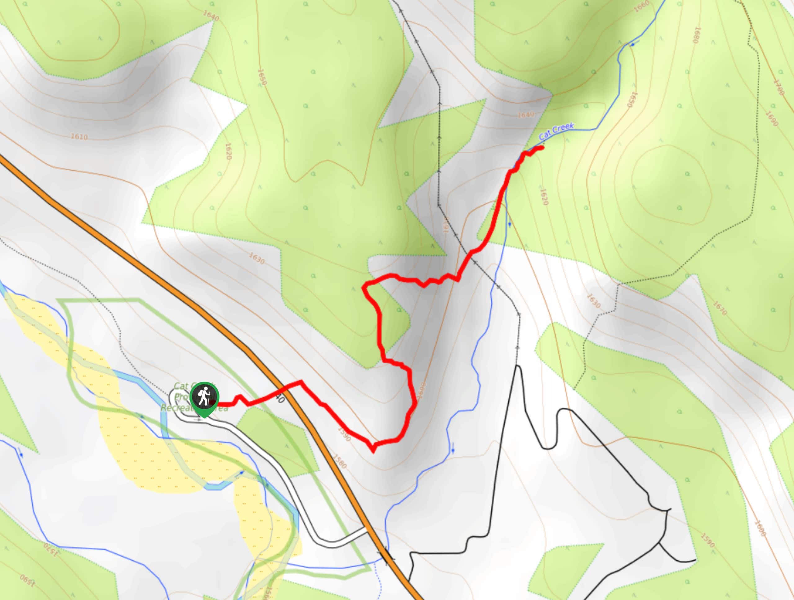
From Highway 40 at the Trans Canada Junction, travel southbound past Highwood Pass and continue on until you reach the Cat Creek Provincial Recreation Area. The trailhead is on the right side when you are driving south along Highway 40.

About
| When to do | Reasonable start/end dates for route |
| Backcountry Campsites | No |
| Pets allowed | Yes - On Leash |
| Family friendly | Yes |
| Route Signage | Average |
| Crowd Levels | Moderate |
| Route Type | Out and back |
Cat Creek Waterfall Hike
Elevation Graph
Weather
Cat Creek Waterfall Trail Description
The Cat Creek Waterfall trail begins in the parking area for the Cat Creek Recreation Area. Follow the signs and cross Highway 40. The trail is easy to follow and reaches the waterfall after 0.7mi and some rolling elevation. The trail features educational and interpretive signs along the route that are great for families. The waterfall is a medium-sized water feature at the end of the trail and is a great objective for a short trail.
Find other amazing hikes in Kananaskis Country
- Kananaskis – Smith Dorrien Trail: Chester Lake, Tent Ridge, Burstall Pass, West Wind Pass and Rummel Lake.
- Bragg Creek and Sheep River Provincial Park: Prairie Mountain, Powderface Ridge, Nihahi Ridge and ForgetMeNot Ridge.
- Kananaskis Trail: Troll Falls, Rawson Lake, Wasootch Ridge, Sarrail Ridge and Pocaterra Ridge.
Similar hikes to the Cat Creek Waterfall Hike hike
Eau Claire Hiking Trail Loop
This short and sweet trail is a great way to stretch the legs along Highway 40. The Eau Claire Hiking…
Kananaskis Fire Lookout Trail
The trail to the Kananaskis Fire Lookout follows the Mount Tyrwhitt trail up an old decommissioned fire road to the…
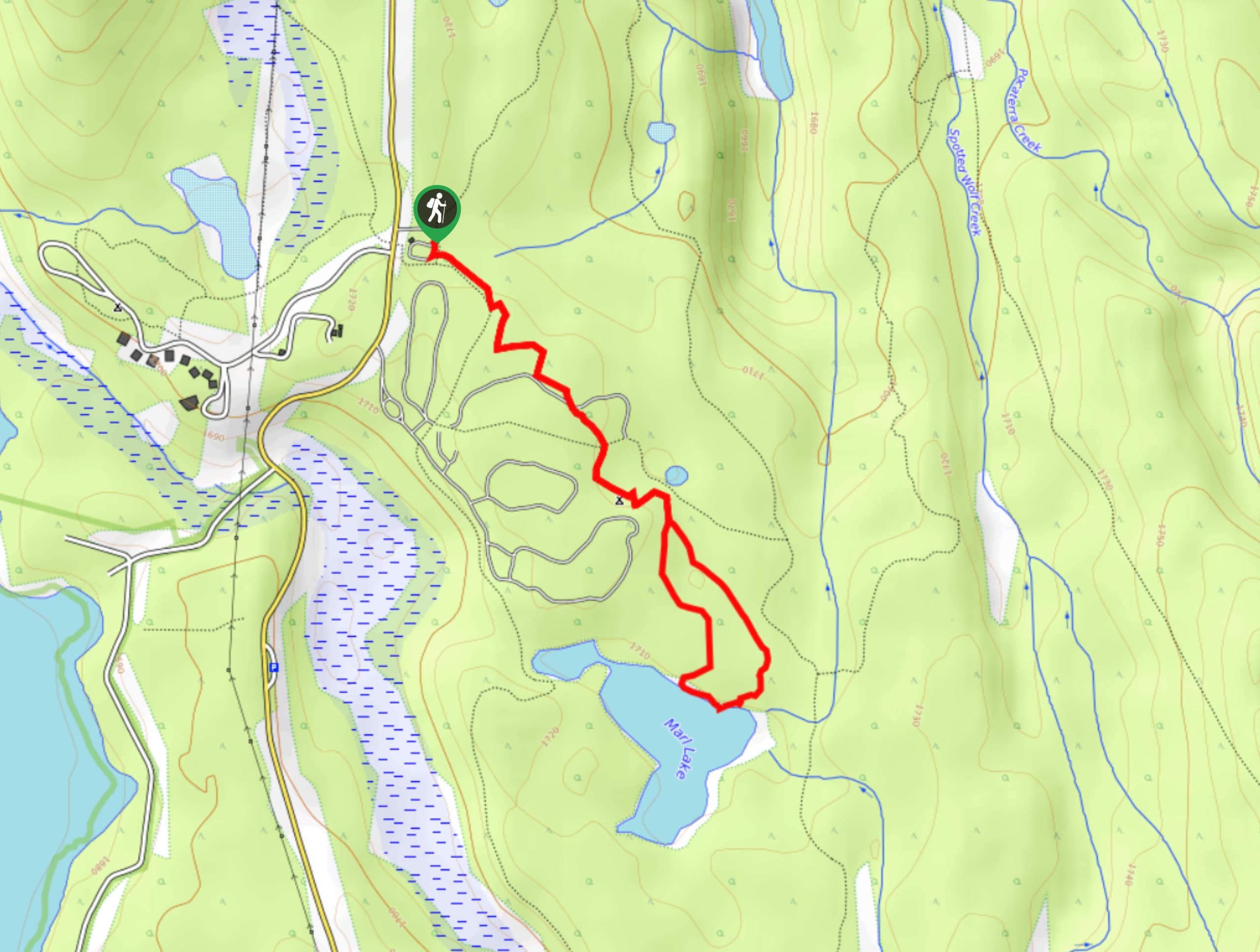
Marl Lake Trail
The Marl Lake trail is a moderately trafficked trail near Lower Kananaskis Lake that is accessible for all abilities. It…
Comments