Kredarica hike
View Photos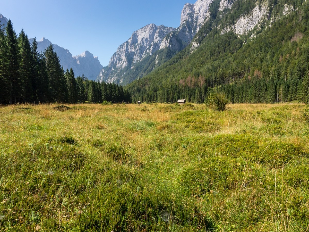
Kredarica hike
Difficulty Rating:
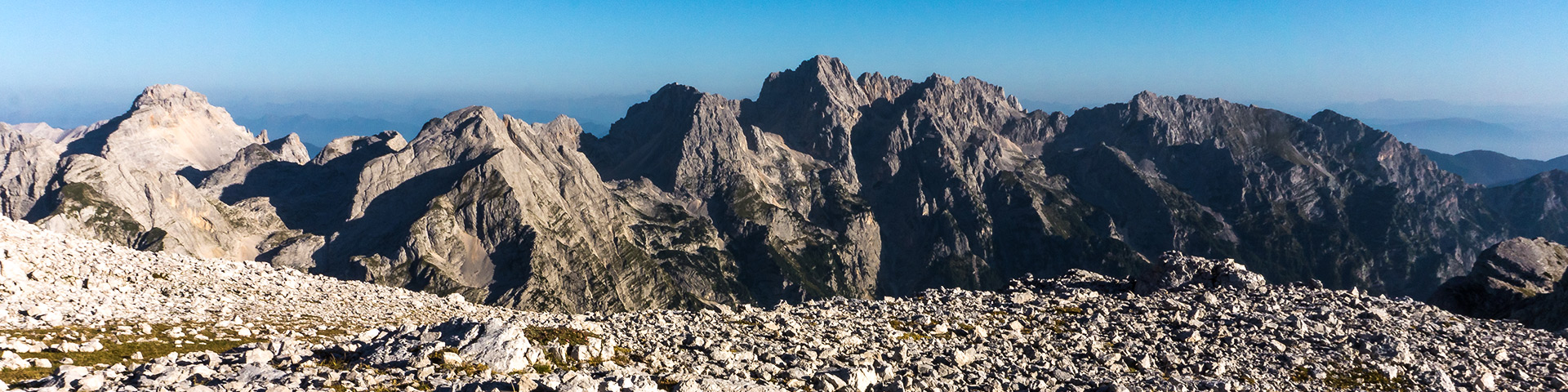
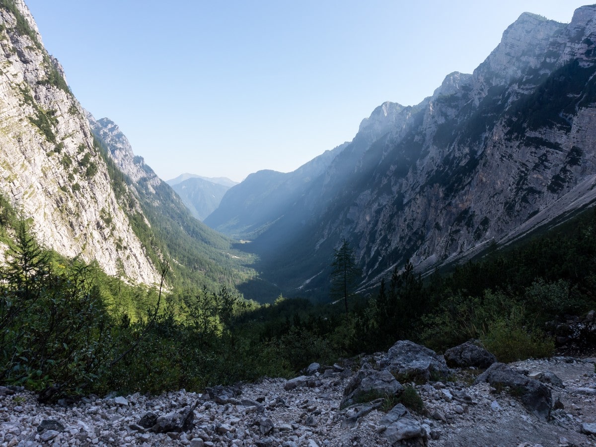
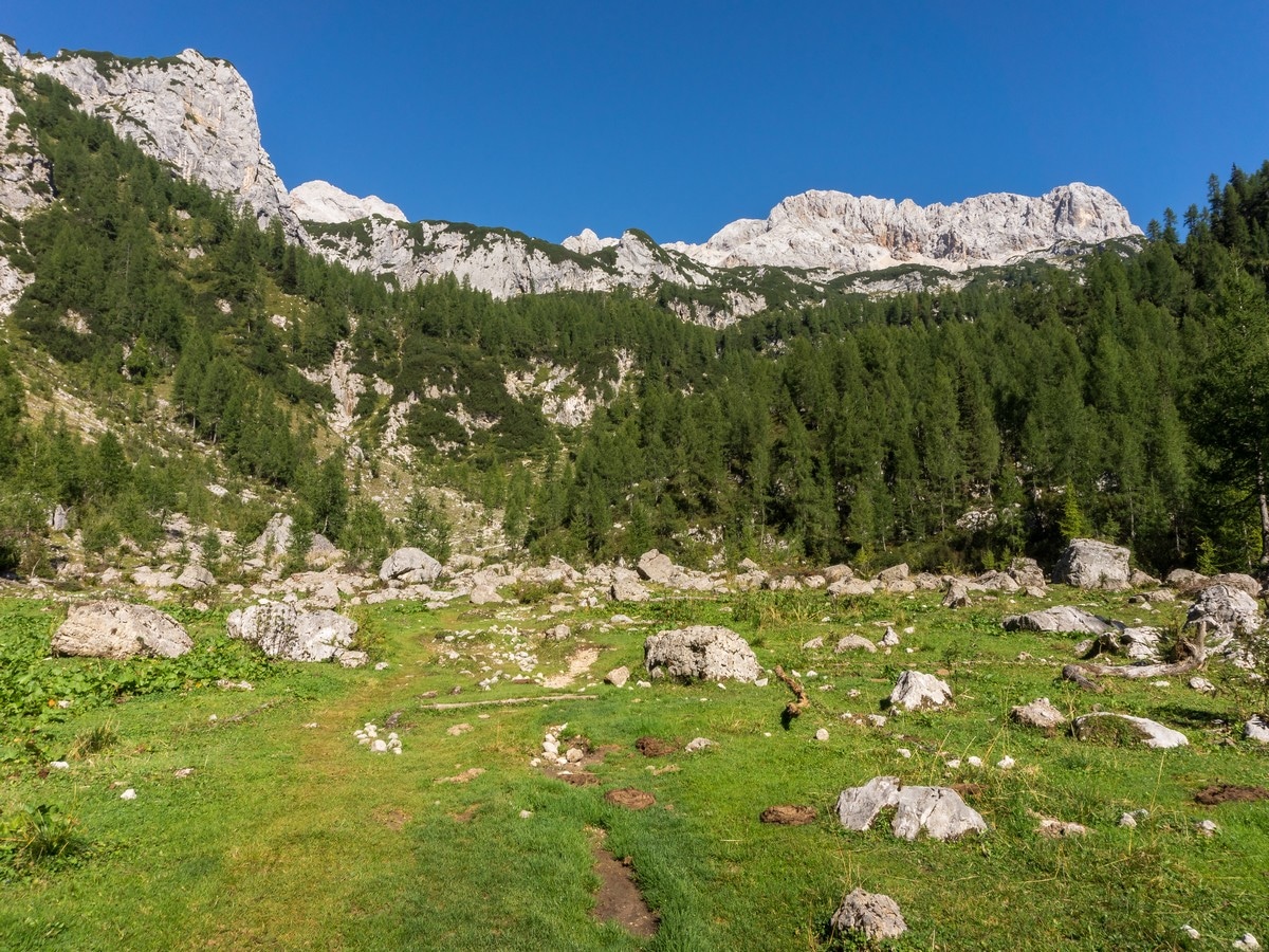
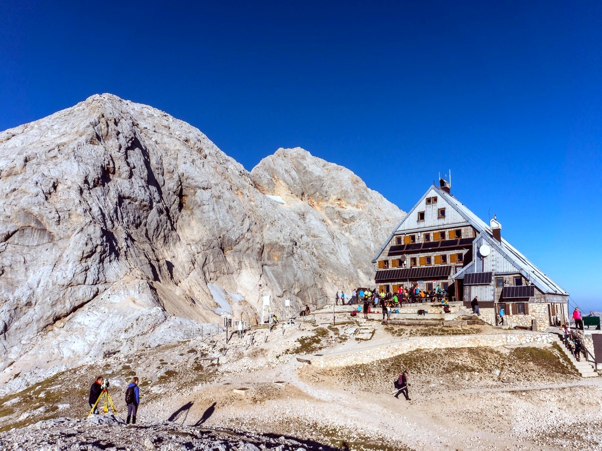
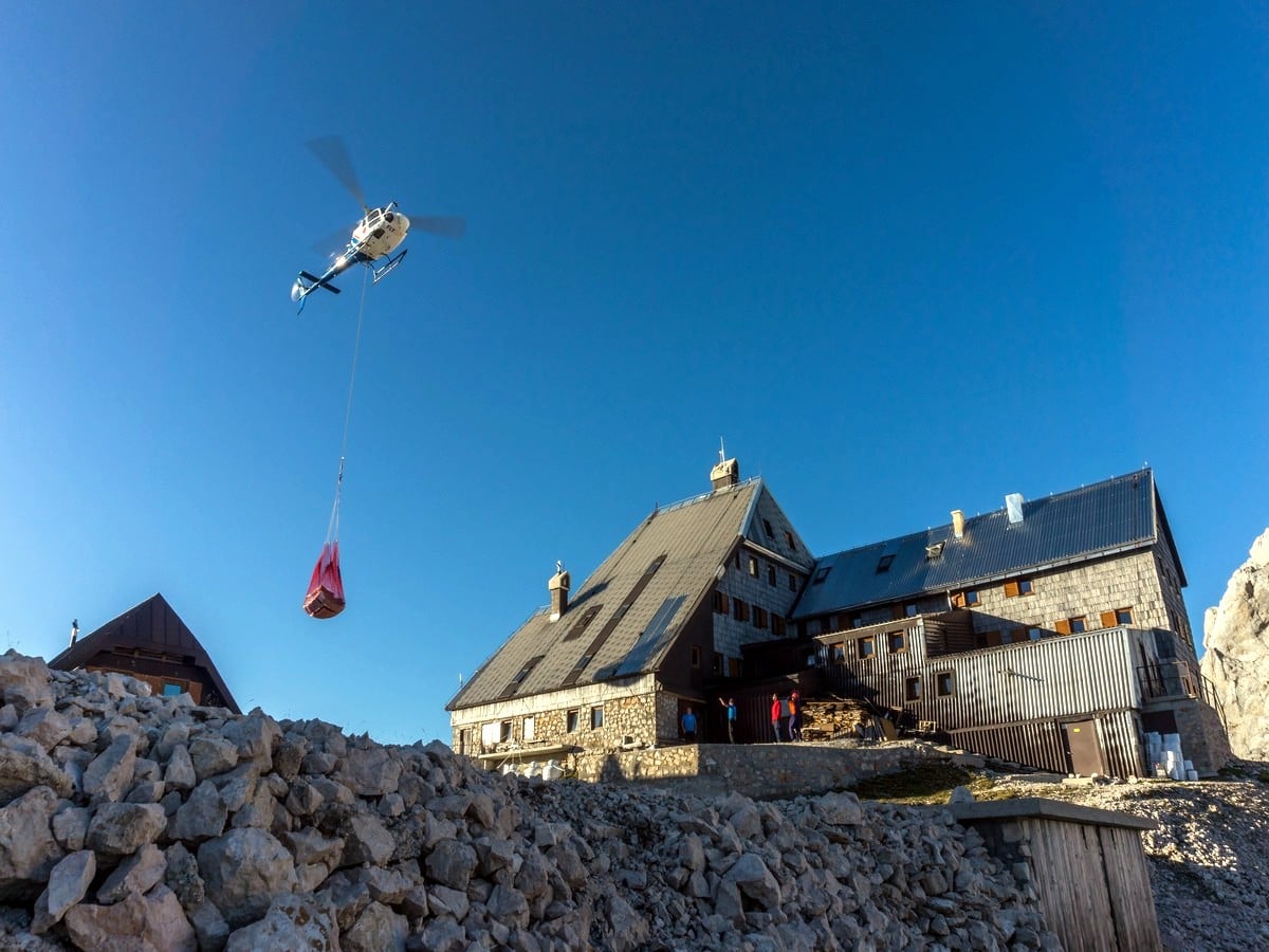
The hike to Kredarica is a long, but not technically challenging trip. This hike will take you to Slovenia´s highest mountain hut (8251ft). You can almost reach out and touch the peak of Mount Triglav. Starting out in the Krma valley’s meadows, this trail will eventually lead you high above the tree line.
Getting there
From Bled drive 17.4mi to Mojstrana. Then head in the direction of Radovna village/Krma valley. In 2.2mi take the narrow road at the split. Go 0.6mi then turn right to Krma. Follow the gravel road for 1.9mi. Park at Kovinarska hut or continue 0.9mi ahead to the end of the road.

About
| When to do | Late spring to fall |
| Backcountry Campsites | Yes, in Dovje, a small village near Mojstrana |
| Toilets | Yes, at the Kovinarska hut in Krma valley, and the Triglav hut at Kredarica |
| Family friendly | No |
| Route Signage | Average |
| Crowd Levels | High |
| Route Type | Out and back |
Kredarica
Elevation Graph
Weather
Route Description for Kredarica
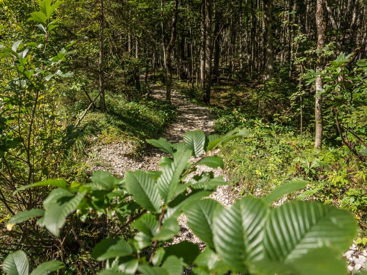
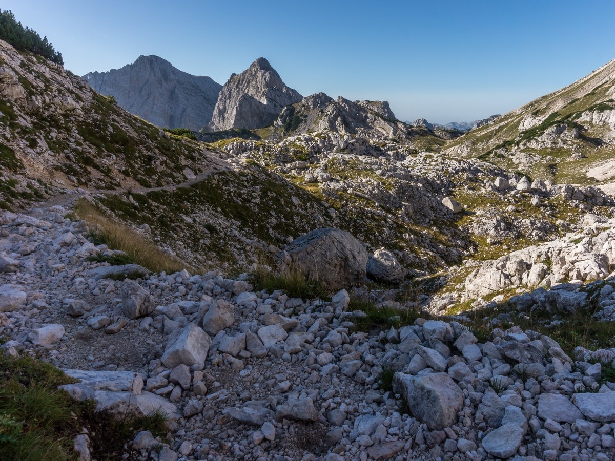
From the parking lot, follow the forest road. The road will lead you through some rocky areas. The path will curve right as it heads into the woods, turning into a rocky cart track. The path starts to climb through the forest.
You’ll reach the grassy plain of Vrtača at the height of 1400m. Continue across the plain and – in about 20min – you’ll turn right and enter a wider, grassy plateau. At the junction you’ll continue straight (the left path goes to Vodnik hut through Bohinjska Vratca). Cross the meadow and follow the marked path.
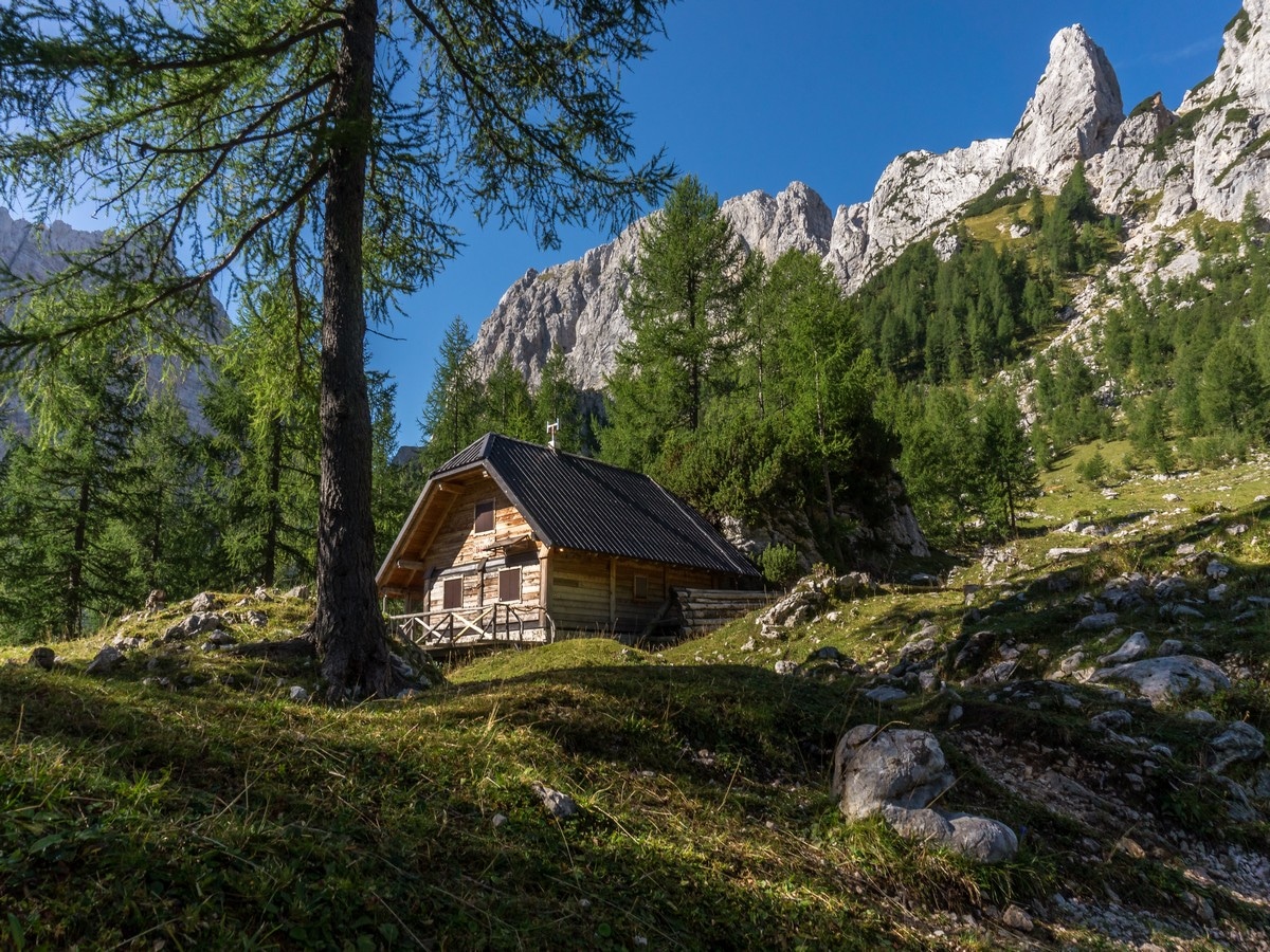
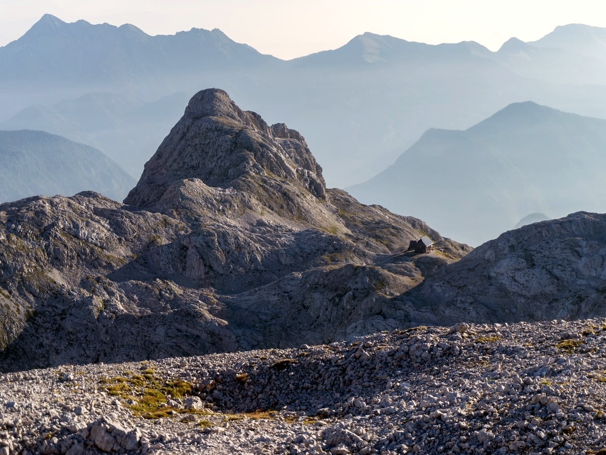
Ascending the overgrown slopes, you will reach a shepherd´s hut at the Zgornja Krma pasture. From the hut you’ll continue slightly to the right to the water trough. At the trough, turn slightly to the right and then walk a few metres higher to the left. Look for a rock with a sign for Kredarica on it.
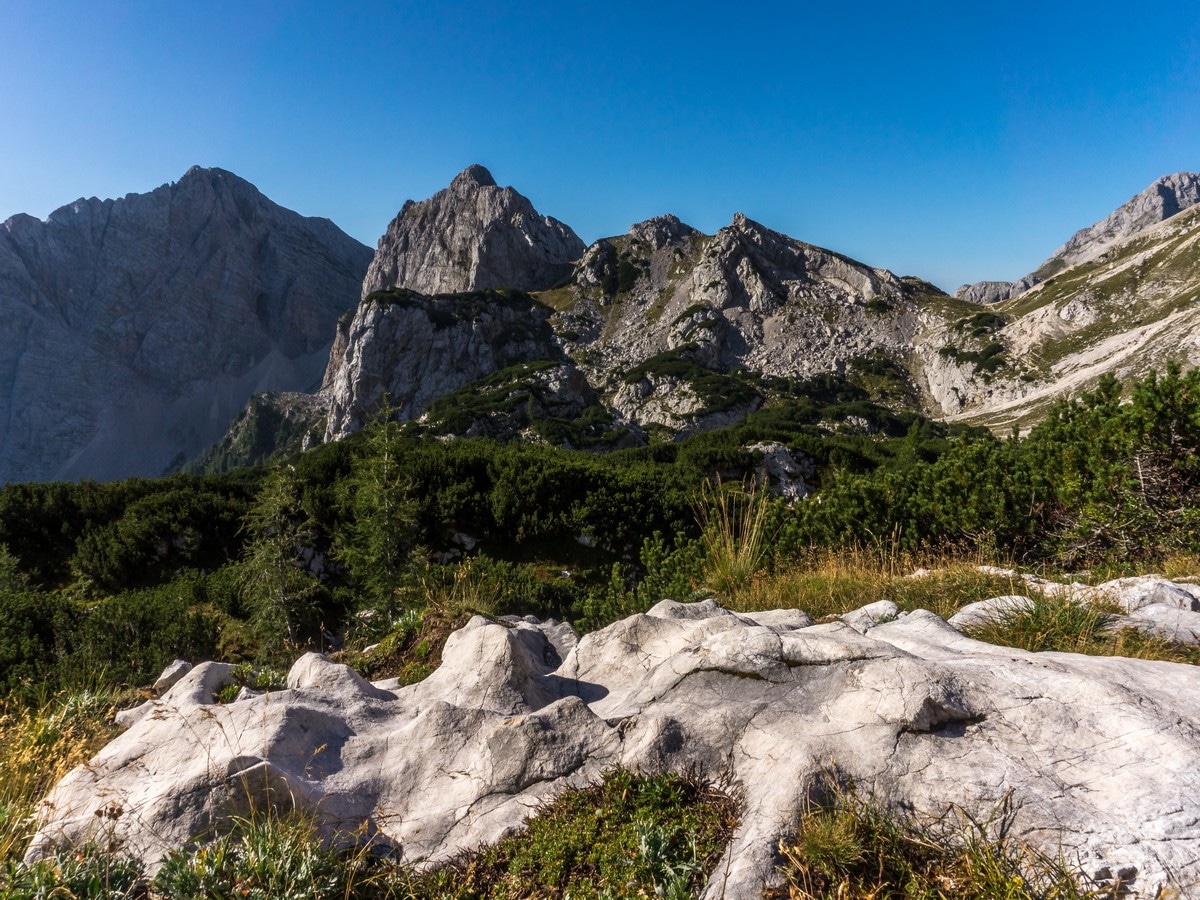
As the path gains elevation you’ll reach some plains surrounded by pine groves where you’ll find a small crossroad. Continue to the right towards a rocky slope.
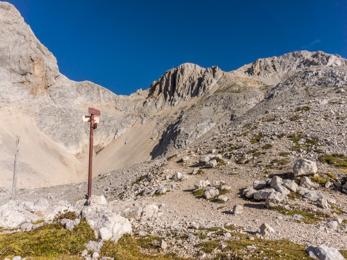
At the next junction, follow the signs for Kredarica/Triglavska koča (left of Vodnikov dom and right of Staničev dom). Next, the path begins to climb steeply below the slopes of Snežna konta. The area is called Kalvarija (meaning cavalry).
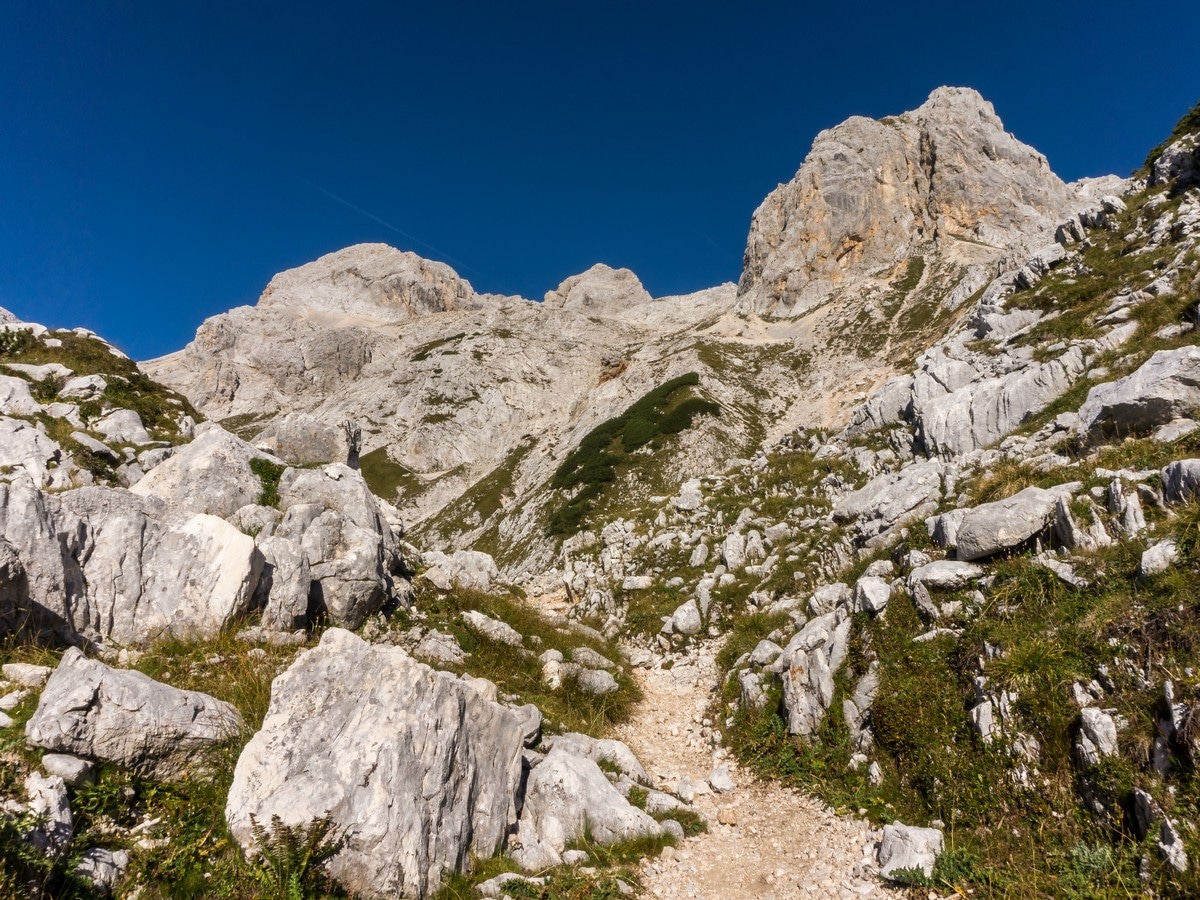
The gravel path turns to the left and connects with the path from Konjsko sedlo. Continue in the direction of Kredarica and turn right at the next intersection (left of the Planika hut). Following the path to the north you’ll reach a ridge, climbing up a great incline. At the top you’ll finally see the Triglav hut at Kredarica. Enjoy the views and savour your hard work.
When you’ve had your fill, return the way you came up.
Insider Hints
Orientation is crucial on this trail. You should always carry a mountain map of the Julian Alps with you. You can buy them in the tourist offices in Bled or Mojstrana.
You can climb to the top of Mount Triglav from Kredarica (climbing skills and proper equipment are, however, required).
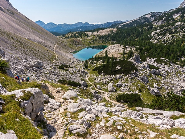
There are few natural water sources along the trail, one at the trailhead near the end of the road, at the Malo Polje meadow and one above the Pastirska hut at Zgornja krma pasture. You will have to treat the water though, so we think it’s easier to bring your own.

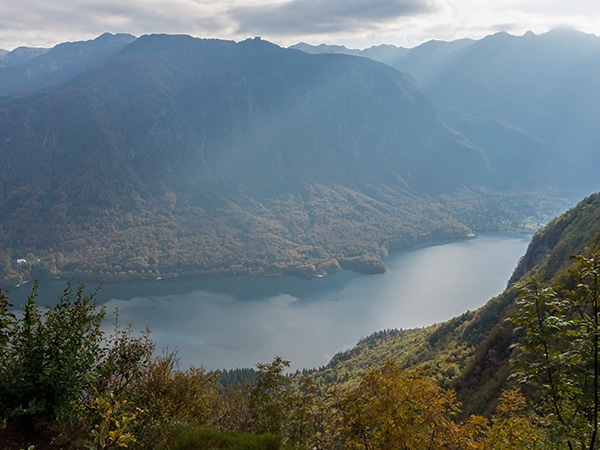
Similar hikes to the Kredarica hike
Bohinj Pastures Route
The Bohinj Pastures Route is a long but pleasant walk that will take you to six traditional cheese production farms…
Komna and Lanževica
The hike to Komna and Lanževica is a wonderful day out. As you hike around the area surrounding the Komna…
The Valley of The Seven Lakes Hike
Walking in the Valley of the Seven Lakes is probably the most popular area in the Julian Alps. This is…
Andrei G. 4 years ago
Awe-inspiring scenery. Nice hike to try at least once. Fantastic environment.
Jakob F. 4 years ago
It was a fantastic trip. We climbed up to Triglav and absolutely gorgeous views of Triglav and the surrounding areas
Petr Vanchek 4 years ago
One of the best places in the Julian Alps, I enjoyed it
Alison H. 4 years ago
The trails are steady incline to the top. It's pretty straight forward but it's better to have GPS or a mountain map.
Andrew Walls 4 years ago
Breathtaking views! The rocky and rugged sections were pretty dangerous when they are slippery. Bringing some trekking poles makes a huge difference.
Prince W. 5 years ago
Long and strenuous hike to the summit. Ultimately rewarding despite the demanding hike.
Sky Lime 5 years ago
The views were awe-inspiring. Love this hike, even though It was really hard!
Stephanie Dupras 5 years ago
This is a long and strenuous hike! Make sure to do all necessary preparation, bring enough food, water and wear your most comfortable shoes.
Salome E. 5 years ago
This is such a terrific place to explore! It is relaxing to watch the clouds coming in.
Gorki00 5 years ago
Kredarica is a classic Slovenian hike. It is very beutiful. Every slovenian must do this hike.