Dunes Trail via Pinyon Flats
View Photos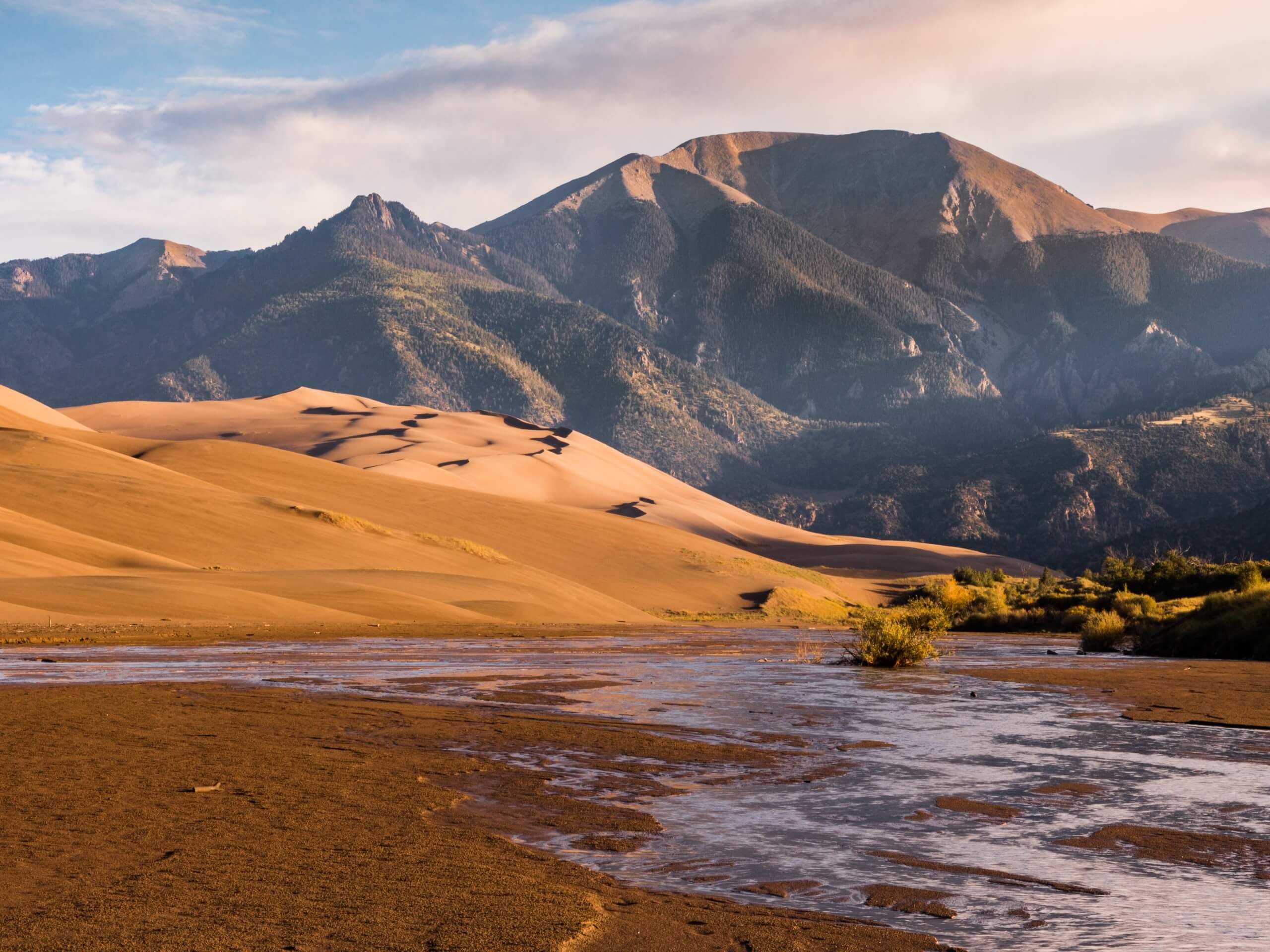
Dunes Trail via Pinyon Flats
Difficulty Rating:
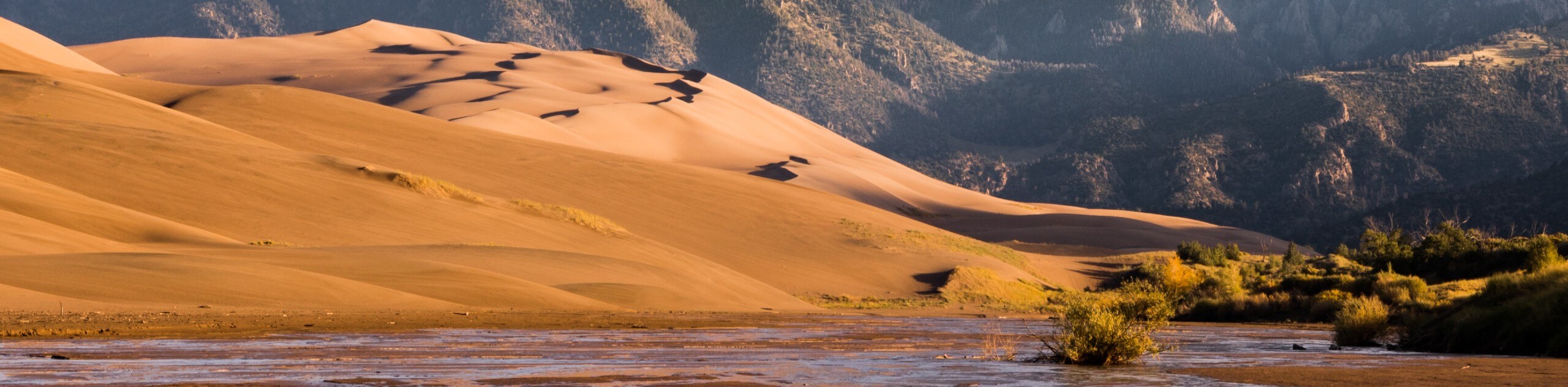
Adventure to the top of High Dune along the Dunes Trail via Pinyon Flats. Immerse yourself in the sandy terrain and revel in Colorado’s topographic diversity as you admire the snow-capped Sangre de Cristo Mountains and the sandy mounds that consume the landscape.
Getting there
The Dunes Trail via Pinyon Flats departs from the parking lot at the intersection of Highway 150 and Medano Pass Primitive Road.

About
| Backcountry Campground | Dispersed Backcountry Camping. Note a permit is required from the Visitors Center. |
| When to do | Year-round |
| Pets allowed | Yes - On Leash |
| Family friendly | Older Children only |
| Route Signage | Poor |
| Crowd Levels | High |
| Route Type | Lollipop |
Dunes Trail via Pinyon Flats
Elevation Graph
Weather
Dunes Trail via Pinyon Flats Description
Hiking the Dunes Trail via Pinyon Flats is an exciting experience in the Great Sand Dunes National Park. Climb barefoot up the soft, sandy terrain up the highest dunes in North America. This epic expedition up the wind-sculpted ridgeline of the dunes demands some stamina and preparation. Be sure to keep an eye on the skies and avoid hiking in summer afternoons when dangerous lightning storms are common. Additionally, pack plenty of water and sun protection as the terrain radiates heat. Note that the National Park charges an entrance fee of $25USD for 1-6 passenger vehicles, which allows access to all the trails and attractions within the park.
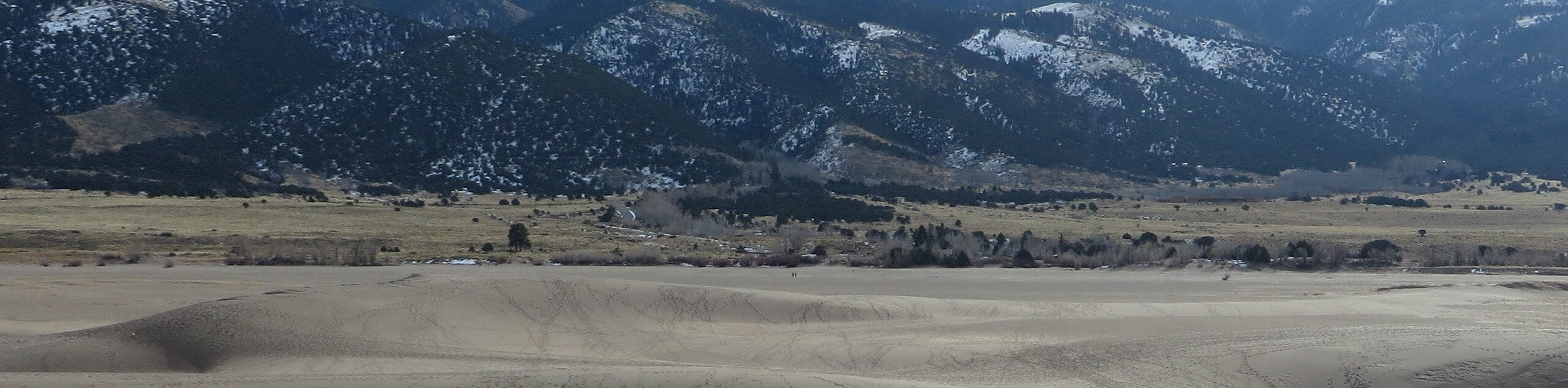
Setting out from the parking lot off Highway 150, the Dunes Trail via Pinyon Flats tracks north along the Medano Pass Primitive Road. Soon after you depart from the trailhead, you will be redirected west, over Buck Creek and Medano Creek. There will be no explicit route to follow while tracking through the sand dunes, so the trail GPS or map may prove useful. Begin your climb up the wind-sculpted ridges, heading northwest. Ascend the soft, sandy ridgeline, and you will be redirected west.
As you wander west, you will likely be in the company of more adventurers who took a more direct route up to High Dune. Soon you will summit High Dune, which exposes the grandeur of the encompassing dunes. From here, descend the ridge, tracking east along a more revered route (though there may not be any evidence of footprints). Finally, follow the path back over the creeks before returning to the parking lot.
Similar hikes to the Dunes Trail via Pinyon Flats hike
Star Dune Trail
Hiking the Star Dune Trail is an other-worldly experience. Adventure through the Great Sand Dunes National Park up to one…
Sand Ramp Trail
The Sand Ramp Trail lives up to its name—the sandy path makes for an incredible hiking experience. Traveling through meadowlands…
Upper and Lower Sand Creek Lake Hike
Immerse yourself in the alpine terrain along the Upper and Lower Sand Creek Lake Hike. Hike up to no one,…
Comments