Santa Maria Springs hike
View Photos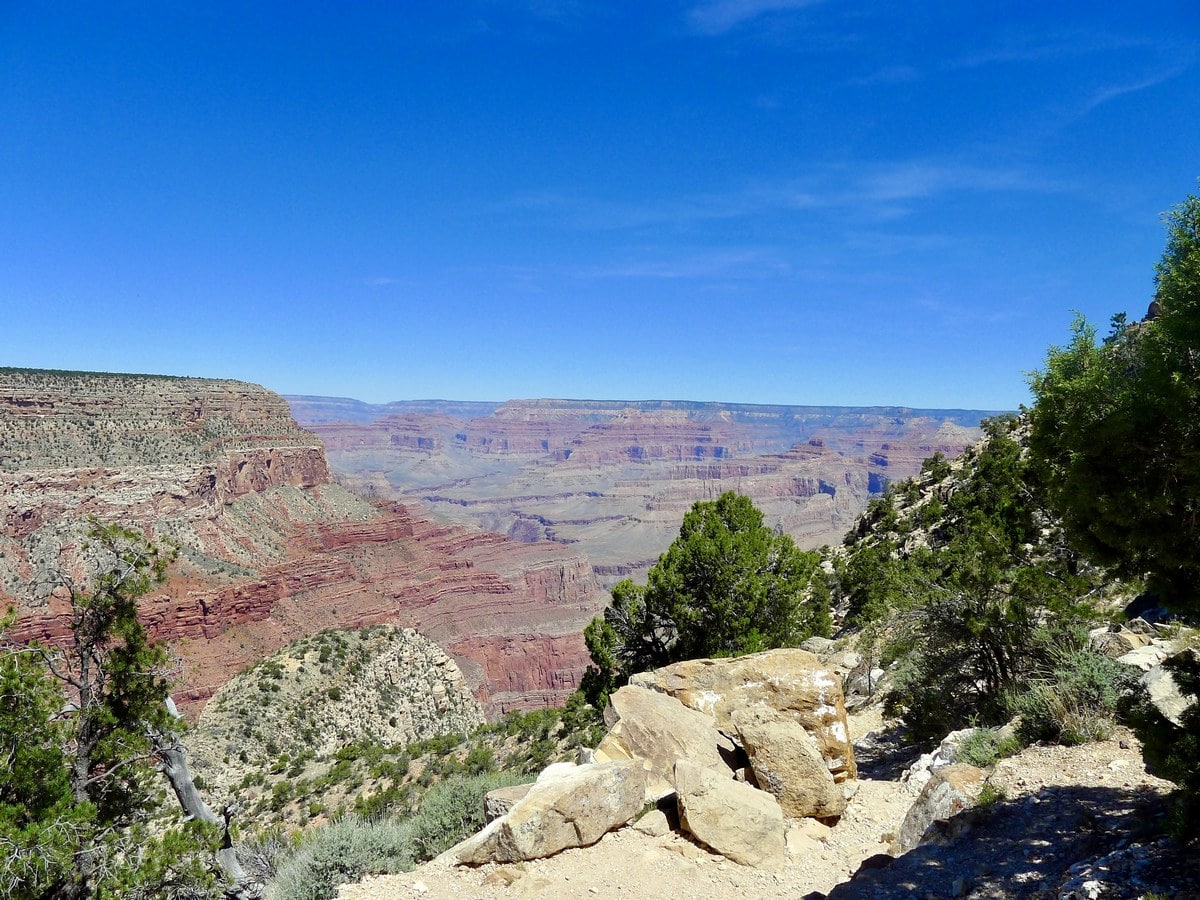
Santa Maria Springs hike
Difficulty Rating:
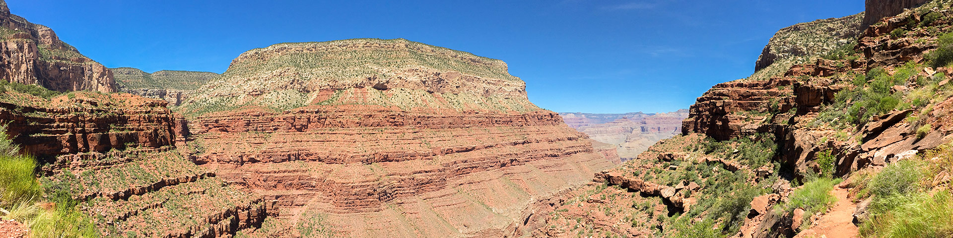
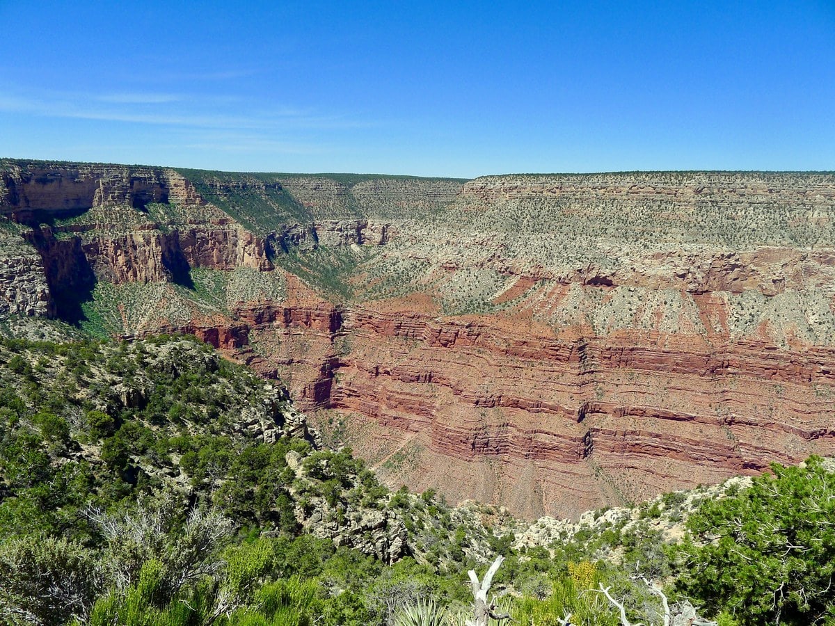
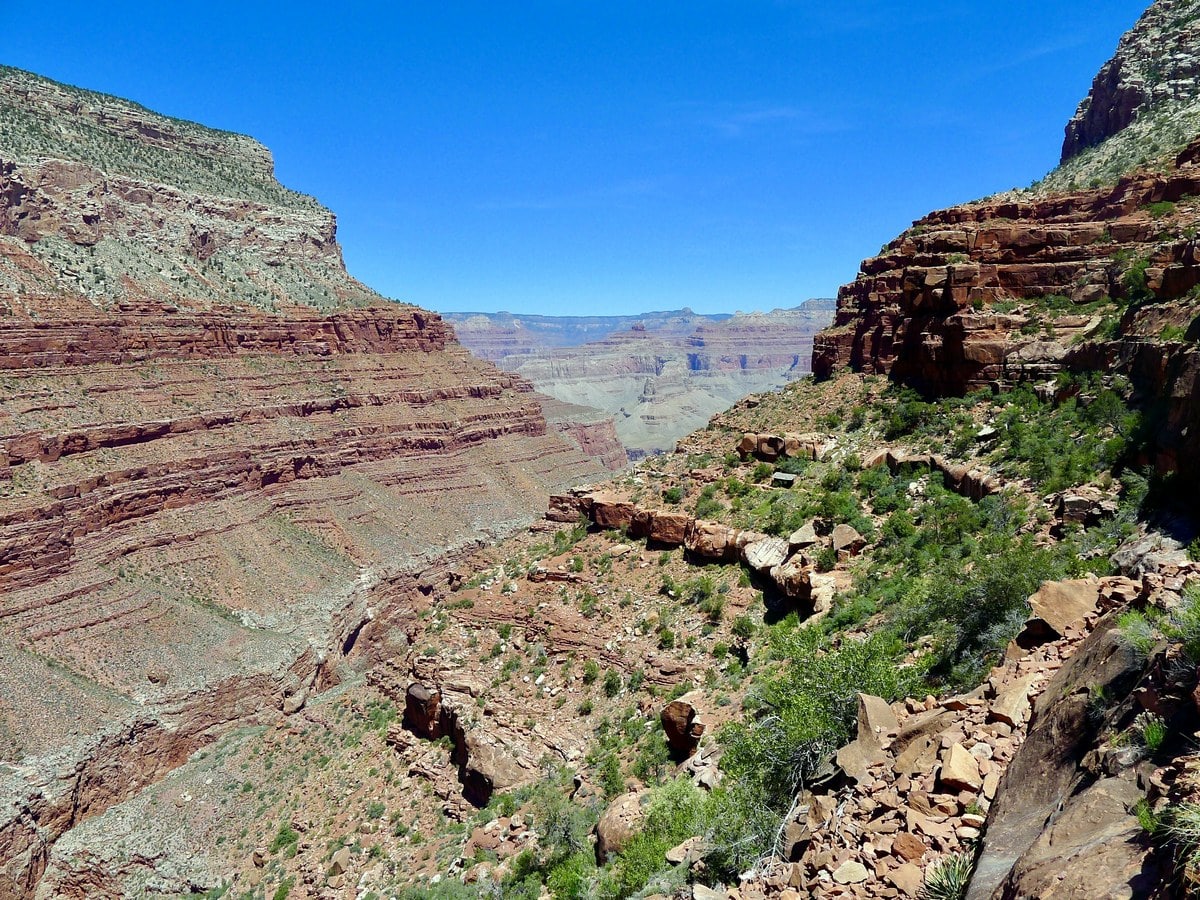
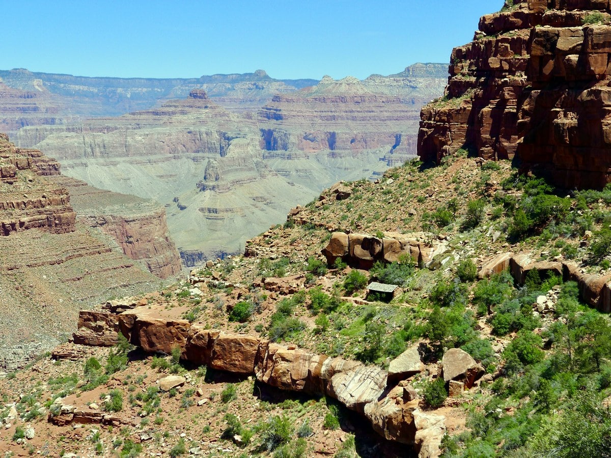
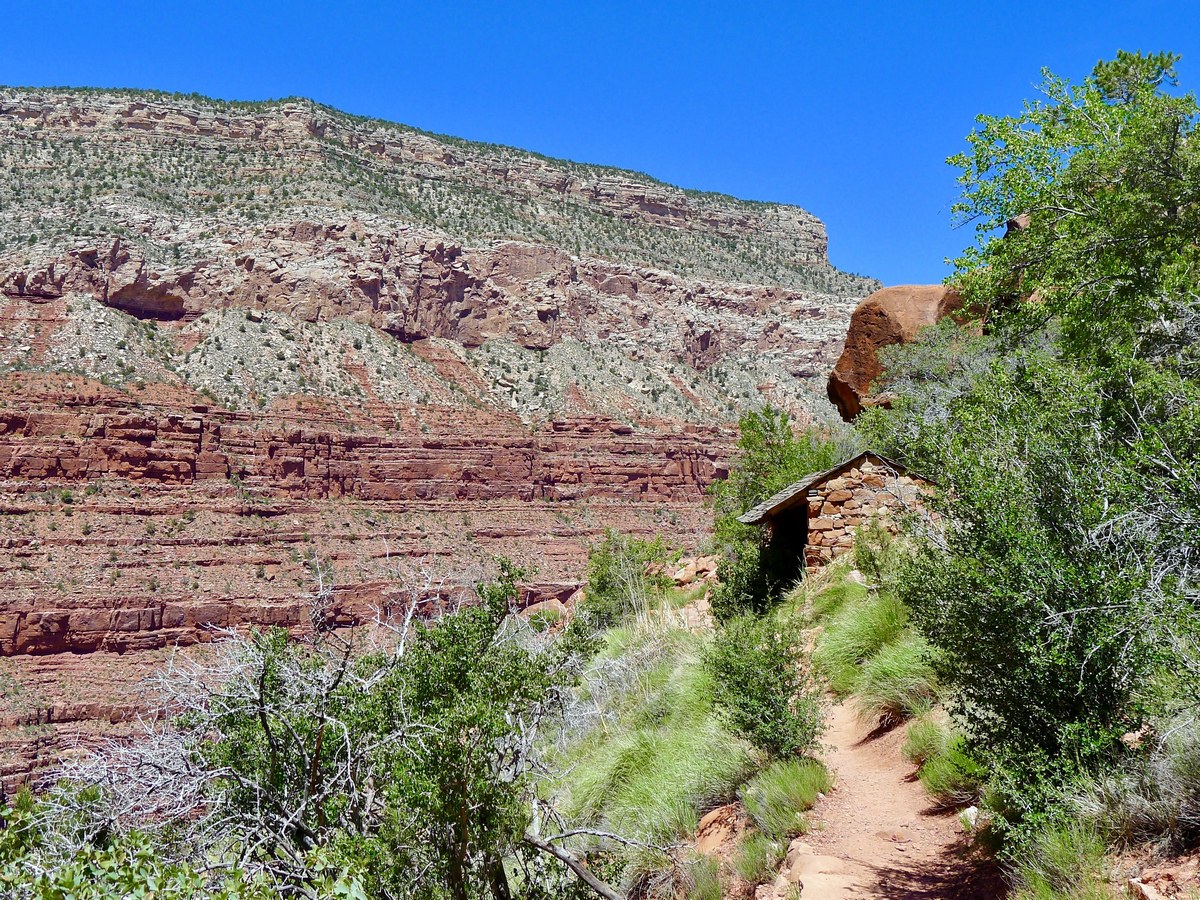
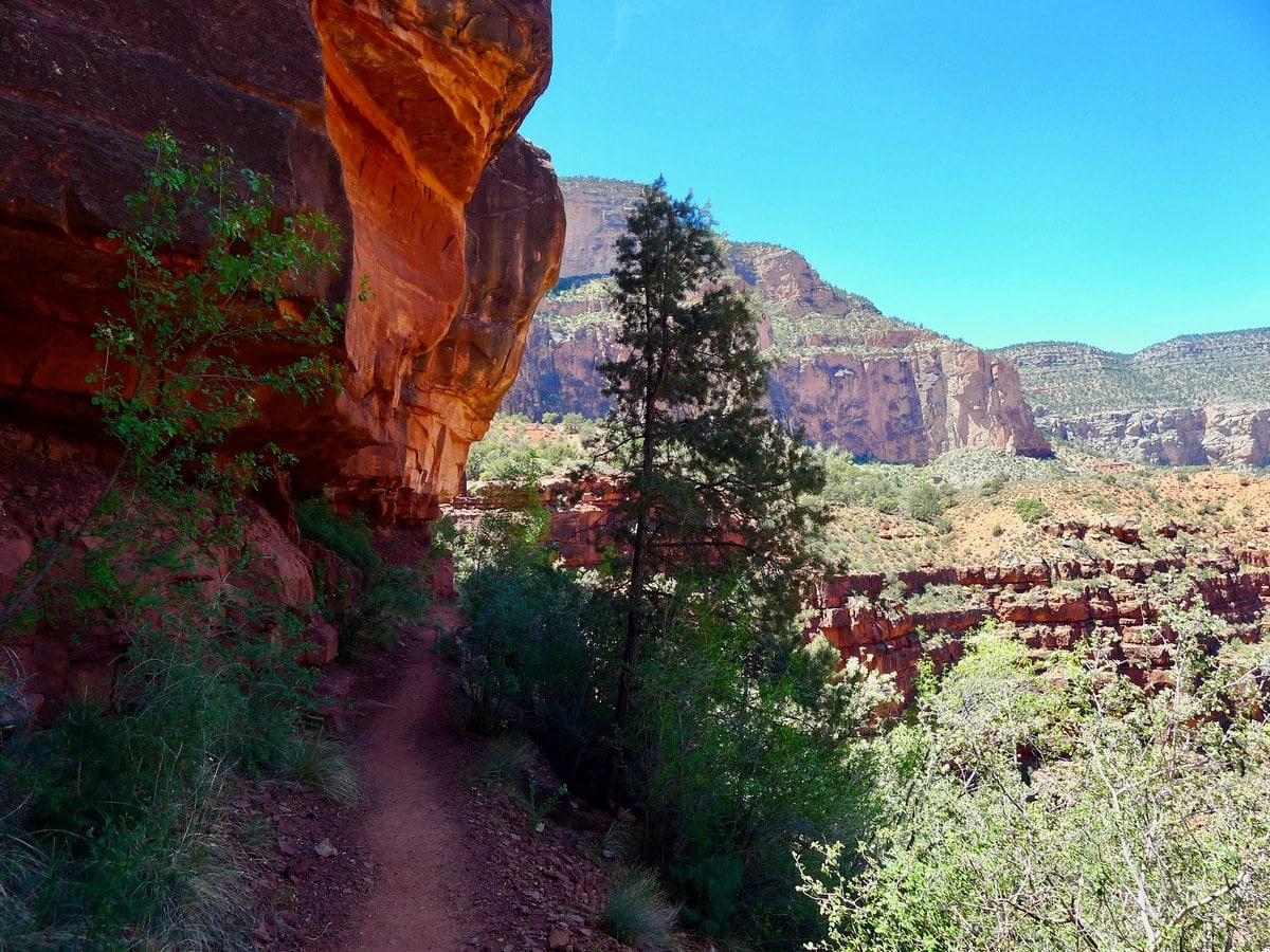
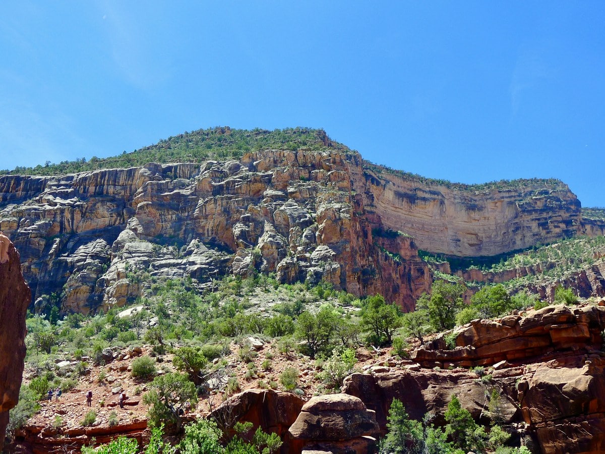
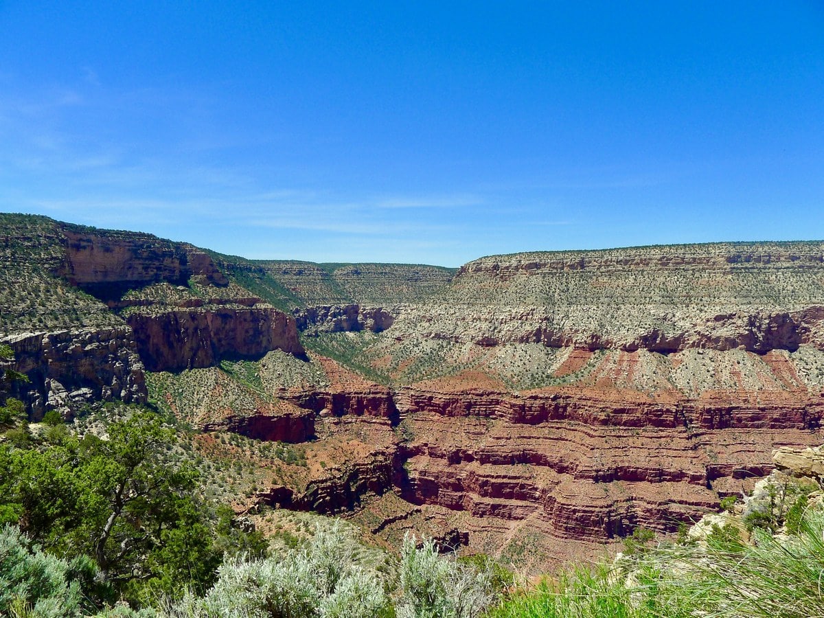
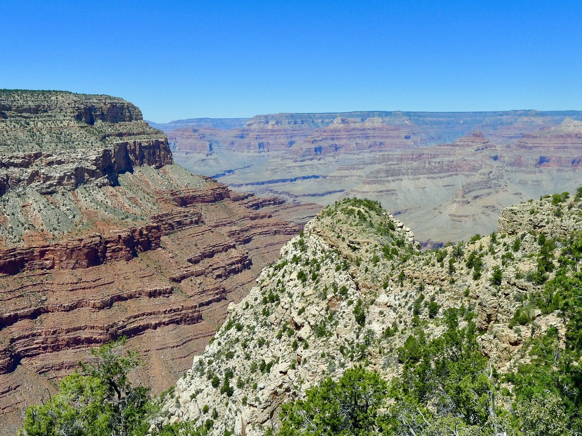
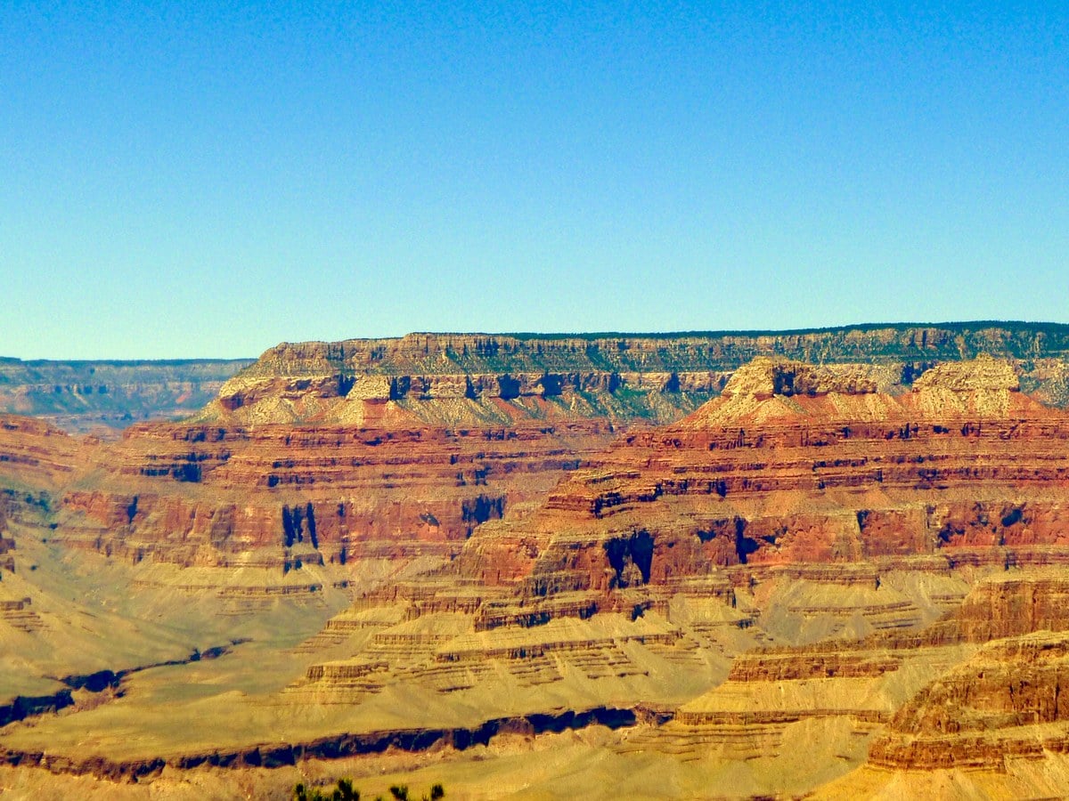
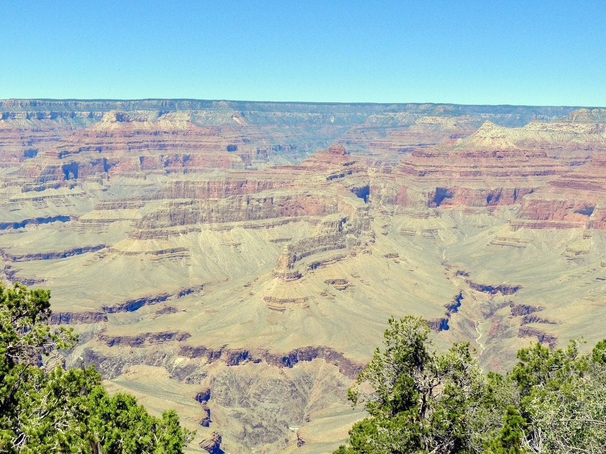
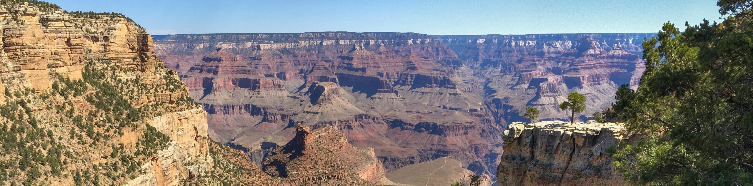
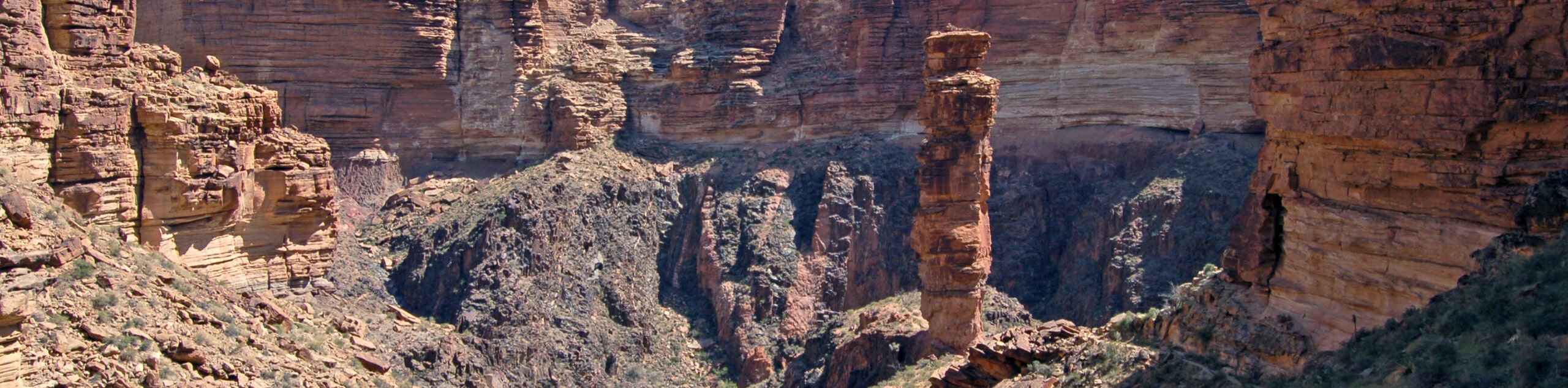
While exploring the far western tip of the Grand Canyon, this hike descends towards a rest shelter with a quaint rocking chair as well as water for the horses. Stunning views of the edge of the canyon, as well as of impressive rock formations permeate the entire trail.
Getting there
Park in Grand Canyon Village and then walk towards the Bright Angel Hotel. Continue past the hotel treading west along the rim. You will soon find the bus stop for the Hermits Rest Point loop, which comes roughly every 15 minutes. Take the bus to its final stop, Hermits Rest. The road is only open to public traffic during a brief period of time in the winter, so odds are you will be required to take the bus. At Hermits Rest there are pit toilets, water refill stations, and a small snack bar/gift shop.

About
| When to do | Spring and Fall, avoid summer heat |
| Backcountry Campsites | Yes, permits required |
| Toilets | At trailhead |
| Family friendly | No |
| Route Signage | Average |
| Crowd Levels | Moderate |
| Route Type | Out and back |
Santa Maria Springs
Elevation Graph
Weather
Route Description for Santa Maria Springs
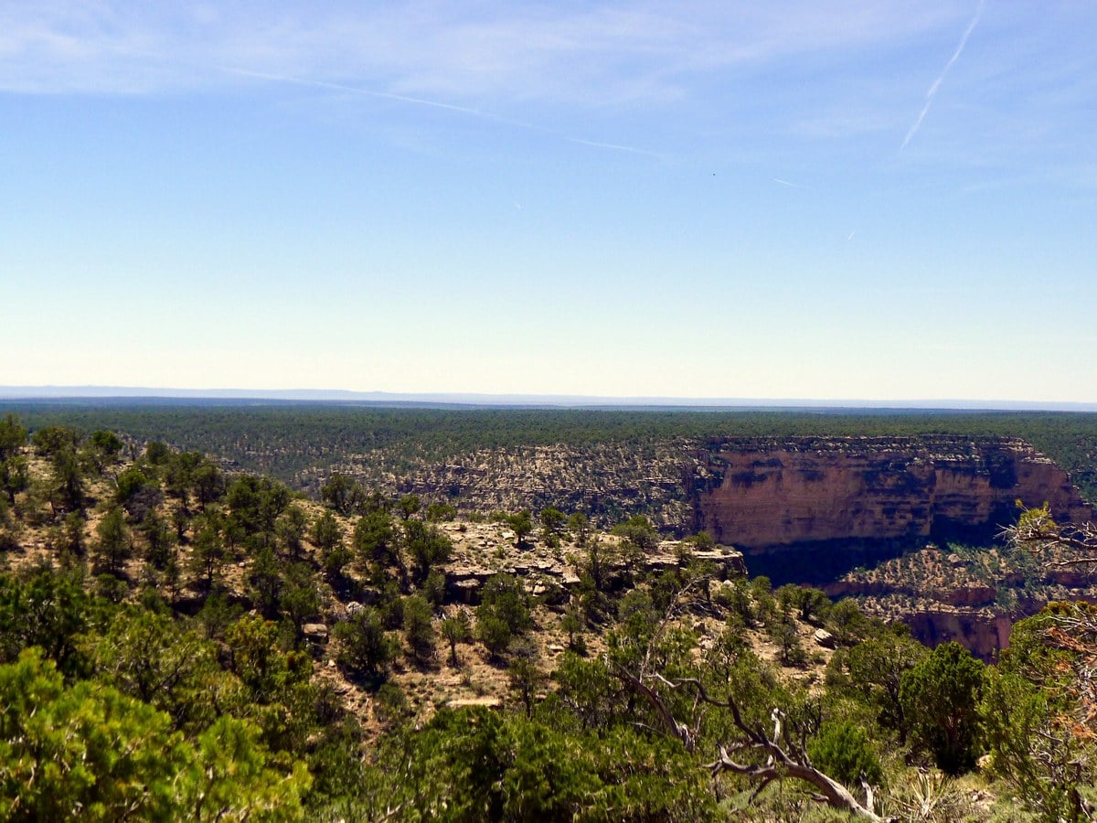
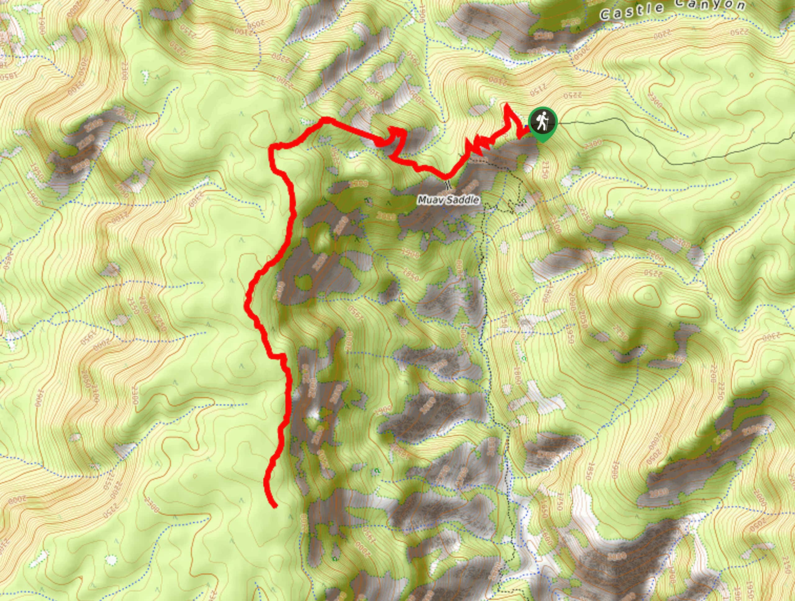
From where the bus drops you off, follow the main trail that leads along the edge of the point. This trail — on the opposite side from the toilets – will pass by the gift shop and snack bar, and continue along through the picnic area to the point. At the end, past where the winter parking lot is, you will find the Hermit Trailhead.
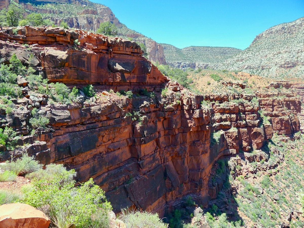
From here, start along the switch backing path that leads down the point’s flank toward a small plane. Though not as steep as the notorious Grandview Trail, this path still holds its own in the grade department. Take care when descending, and remember that you will have to ascend this same trail! It should also be noted that there are very few shaded spots along this trail, so leave early to save yourself on the ascent!
After 1.5mi you will reach the Waldron Trail junction. Turn right here to continue along the Hermit Trail. At this point you will have done the majority of the decent. Continue along the mostly flat valley for another quarter of a mile until you reach the Hermit Trail junction. Again turn right to remain on Hermit Trail.
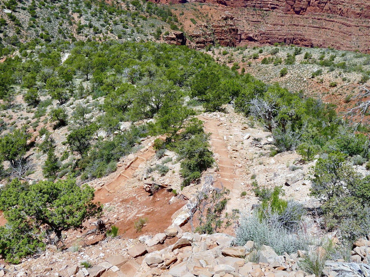
From here you will switchback a few more times to descend from the small plateau. Here, however, there is plenty of shade. After another three quarters of a 1.0mi you will finally reach the Santa Maria Springs. There is water here, however it is not potable, so pack some sort of sterilization method if you plan on drinking it.
Insider Hints
If you forgot your water filter but still want to make good use of the spring, dunk your shirt into the basin. It makes the climb up in the sun more bearable!
For an especially long day hike, try combining the South Rim Trail with either Santa Maria Springs or Dripping Springs.

Similar hikes to the Santa Maria Springs hike
Powell Plateau Trail
Powell Plateau Trail is a hiking trail in the northwestern arm of the Grand Canyon. This spot in the canyon…
1.5-Mile Resthouse via Bright Angel Trail
The hike to the 1.5-Mile Resthouse on Bright Angel Trail is a nice compromise for hikers who want a little…
Hermit Camp to Monument Creek Camp via Tonto Trail
This guide follows a portion of Tonto Trail from Hermit Camp to Monument Creek Camp. This is a 6.3mi
RockJumper 4 years ago
The rock formations you can find here are wonderful!
TwoBoots 4 years ago
Great views. This is a great way to see the canyon.
Anabelle Clyde 4 years ago
I enjoyed every step and every view. Such an amazing beauty of nature.
Jill J. 4 years ago
Nice hike! Saw some campers, and they said we need a permit if we want to camp. Would love to try it next time.
MissGiggles 4 years ago
Rocky trail. The views into the canyon are impressive especially as you get close to the Santa Maria spring.
Sina f. 5 years ago
The weather was perfect, and we couldn't ask for more. Enjoyed soaking in the beautiful surroundings and the ray of sunshine in the morning.
Brian F. 5 years ago
We started at 9am and there were very few people. Not sure if we're lucky but we enjoyed trekking here.
Caitlin F. 5 years ago
Short and easy hike with lots of great rock formations. This is a must-do hike for amateurs!
Laurie G. 5 years ago
Outstanding views. Got to see the beautiful view of the edge of the canyon at a very rare angle.
BlueMountains 5 years ago
the red rocks are out of this world. Such an interesting environment.