

Plateau Point via Bright Angel Trail
View PhotosPlateau Point via Bright Angel Trail
Difficulty Rating:
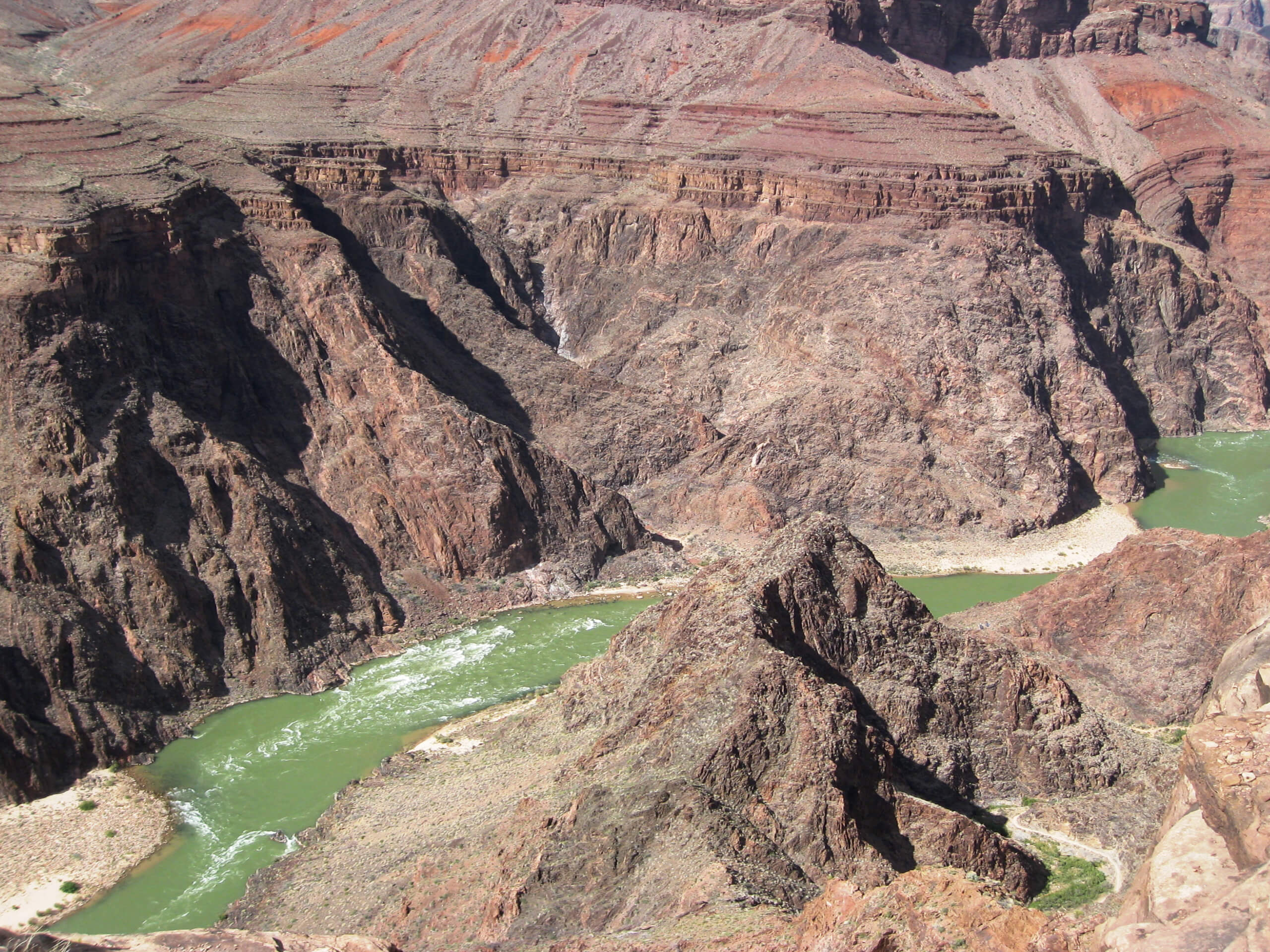
If you’re ready and able to delve deep into the Grand Canyon, the hike to Plateau Point is a trip you’ll simply not forget. This 13.0mi hike might be challenging, but it’s worth the work to stand at the edge of the plateau overlooking the Colorado River, having hiked most of the way down into one of the most iconic natural wonders of the world. This hike also goes through Indian Garden Campground, and with some advance planning, you can make it into a multi-day adventure. Why wouldn’t you want to draw out these views as much as possible?
This route departs from the Grand Canyon Village on the South Rim of the Canyon, which is where most visitors to the canyon end up. Come prepared with poles, good boots, snacks, and plenty of water. If you intend to camp at Indian Garden, you’ll need to book your spot ahead of time.
Getting there
The trailhead for Plateau Point via Bright Angel Trail is on the Rim Trail in front of Kolb Studio.
About
| Backcountry Campground | No |
| When to do | September-May |
| Pets allowed | No |
| Family friendly | No |
| Route Signage | Good |
| Crowd Levels | High |
| Route Type | Out and back |
Plateau Point via Bright Angel Trail
Elevation Graph
Weather
Plateau Point via Bright Angel Trail Descritpion
Imagine hiking down into the Grand Canyon over almost 7.0mi, descending steeply down the layered rock and watching the canyon’s massive walls begin to tower over you. At the end of your outbound journey, you’re standing at the edge of a wide plateau overlooking the river that single-handedly carved the Grand Canyon over millions of years. That’s exactly what you’ll do on the hike to Plateau Point via Bright Angel Trail.
Bright Angel Trail is the most-used route in the entire canyon. It’s immaculately maintained, very easy to follow, and jaw-droppingly gorgeous. This is the Grand Canyon, after all. You can take Bright Angel to connect to the similarly great Plateau Point Trail, which leads to one of the best viewpoints over the Colorado River the canyon has to offer.
Indian Garden is located along this hike, giving you the chance to stretch this adventure over a night or two. Tucked underneath the trees inside the canyon, you’ll walk out of your tent in the morning to have coffee within one of the most iconic sites in the country.
Even if you don’t plan to stay at the campground, this hike is still a fantastic trip. It will be challenging, though, so we recommend coming prepared with water, nutrition, poles, good boots, and weather-appropriate clothing. The conditions in the canyon can vary from scorching to chilly depending on the season.
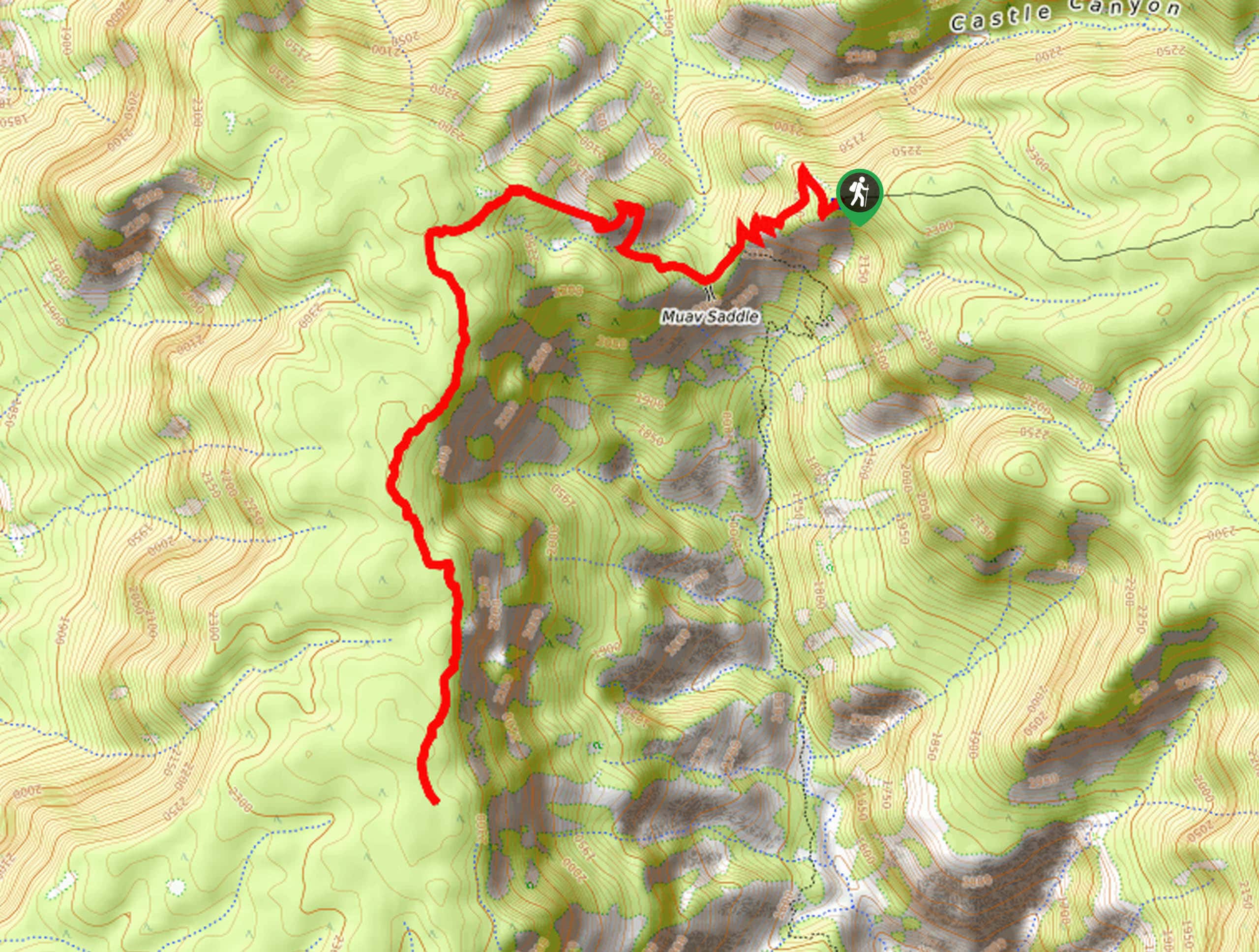
From the well-marked Bright Angel Trailhead, you’ll take Bright Angel Trail as it curves through two wide traversing switchbacks before settling into a course of narrower, steeper turns. As you make your way down, make sure to pause and look up as you go. The view of the canyon changes with your descent and you’ll enjoy a closer look at the striations of the walls and unique foliage as you go.
There’s a water refill station called Mile and a Half Resthouse at the end of a traverse in between the switchbacks. There’s also a restroom here if needed. After this pit stop, you’ll launch back into switchbacks along the well-defined route.
Another water and bathroom stop, Three-Mile Resthouse, appears halfway to the campground. After this, the route straightens out as it covers the remaining distance to Indian Garden, running alongside Garden Creek. At this point, you’re more than halfway down the canyon to the Colorado River.
Refill your water at the campsite if needed, then continue on a blessedly flatter stretch of trail, keeping straight to hike out onto Plateau Point. The view over the river here is magnificent, so spend some time snapping photos.
When you’re ready, you’ll return to the trailhead on the same route.
Hiking Route Highlights
Grand Canyon
Revealing millions of years of geological history, the layered and massive Grand Canyon is a 3060 square mile canyon in Arizona. The canyon is 277.0mi long, up to 18 miles wide and is over 6000ft at its deepest point. Carved by the Colorado River over millions of years, the canyon is now one of the world’s top natural attractions, bringing about 5 million visitors to its rim every year. Indigenous people have inhabited the canyon for many years, some considering it to be a holy site.
Frequently Asked Questions
How do you camp at Indian Gardens Campground?
You’ll need to get a backcountry permit to stay the night at Indian Garden. Make your reservation as far in advance as you can to ensure you get a spot. Spots can be booked with the National Park Service on the first of the month four months before your planned visit.
Is there water on Bright Angel Trail?
Yes, there is water available along the trail. Bring a large container, you’ll likely go through more than you think on the way back up the canyon.
Do you need a permit to hike Bright Angel Trail?
You only need a backcountry permit if you’ll be camping. Day hikes do not require permits beyond your entry to the park.
Insider Hints
You’ll need a pass to visit the Grand Canyon. Passes can be purchased ahead of time online or at the park gates.
It can take a long time to get through the park gates during normal visiting hours, so we recommend planning to arrive a bit early.
Once you’re done, consider a stop at the Yavapai Museum of Geology on the South Rim to learn more about the fascinating geological history of the canyon.
Similar hikes to the Plateau Point via Bright Angel Trail hike

Deer Creek to Colorado River Hike
The Deer Creek to Colorado River hike is a very challenging 18.0mi hike that leads you from the…

Waldron Trail
Waldron Trail is a hiking trail on the South Rim of the Grand Canyon that’s a bit of a hidden…

Powell Plateau Trail
Powell Plateau Trail is a hiking trail in the northwestern arm of the Grand Canyon. This spot in the canyon…


Comments