Tsaplana Peak hike
View Photos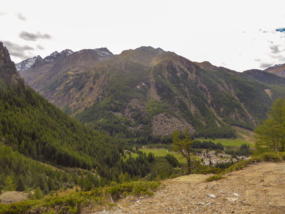
Tsaplana Peak hike
Difficulty Rating:
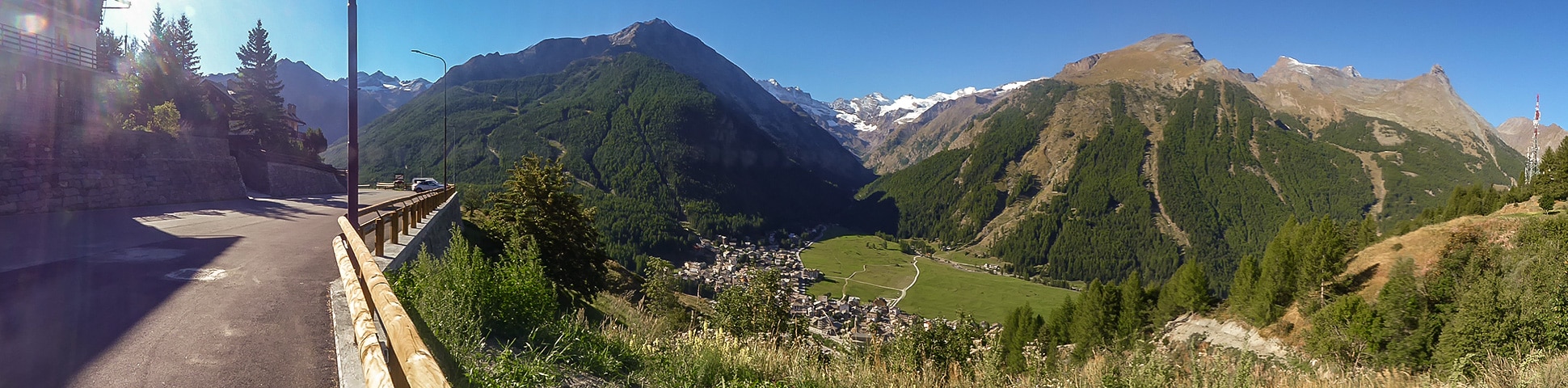
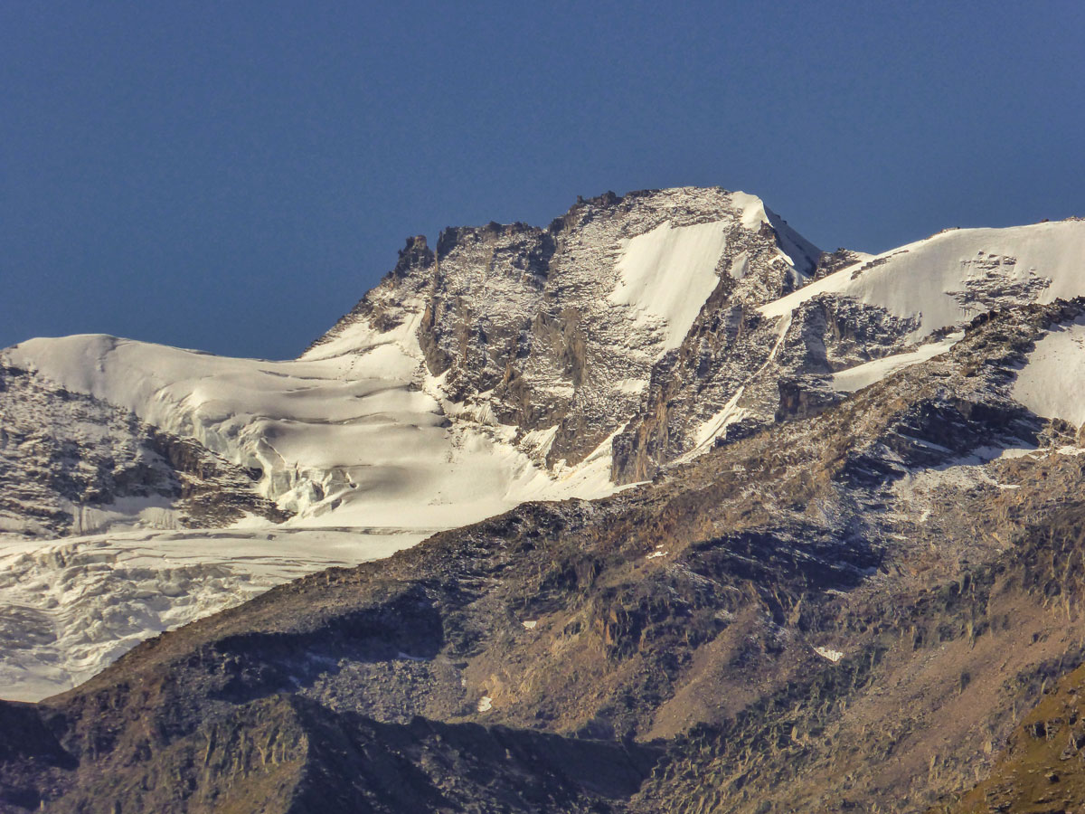
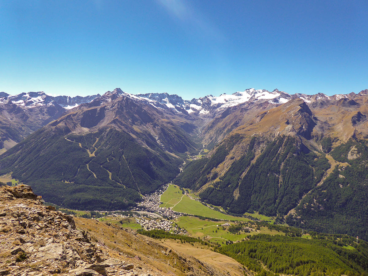
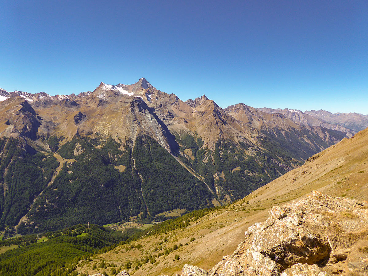
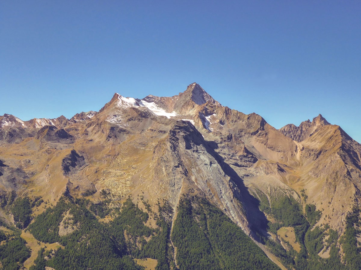
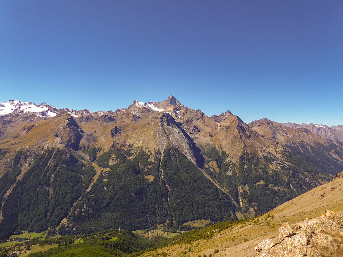
Mount Tsaplana hike is a wonderful moderate hike to Tsaplana Peak. This hike gives you an outstanding opportunity to see the crown jewel of the Gran Paradiso National Park - Mount Gran Paradiso. Along the way, you will also see the beautiful Valnontey Valley and the surrounding mountains. During the middle of your hike, you will also be able to catch a glimpse of Mont Blanc.
Getting there
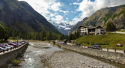
Use the road SR 47 to get to Cogne. Pass Cogne and continue on the Village de Cogne route to go to the village of Gimillan.

About
| When to do | 15th June - October |
| Backcountry Campsites | No |
| Pets allowed | Yes |
| Family friendly | No |
| Route Signage | Average |
| Crowd Levels | Moderate |
| Route Type | Out and back |
Tsaplana Peak
Elevation Graph
Weather
Route Description for Tsaplana Peak
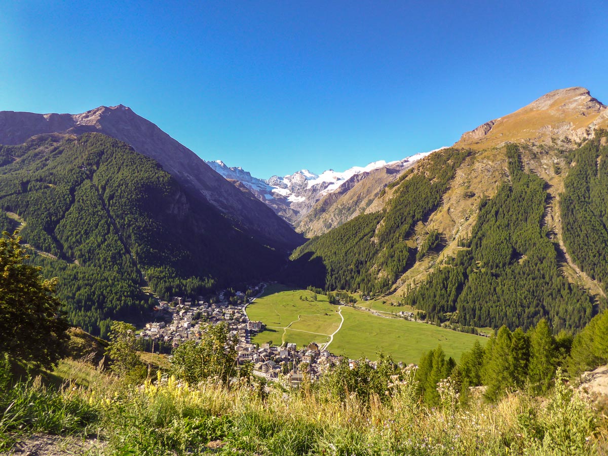
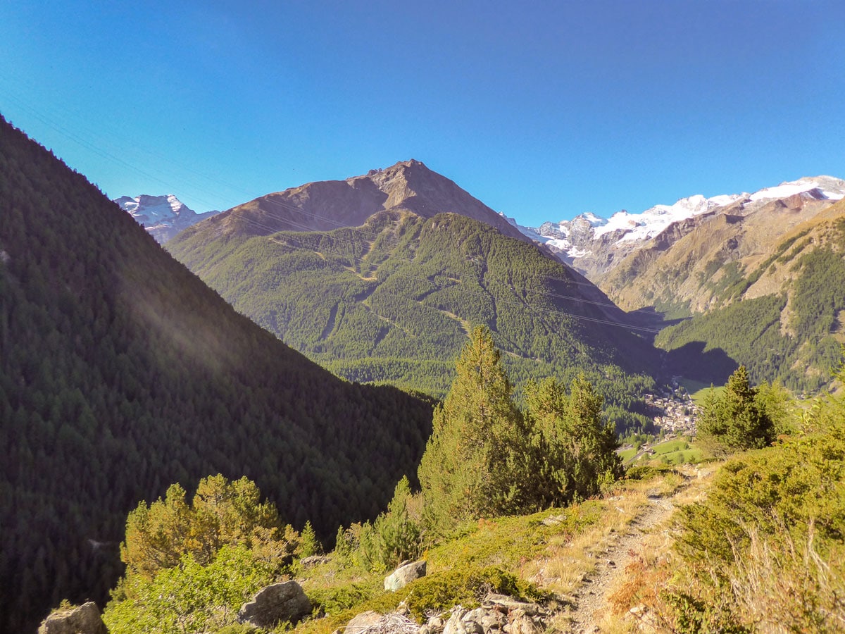
The hike to Tsaplana Peak starts from Gimillan. Park your car just before the town at the free roadside car park and make your way into the town. Turn right just before a small car park and go up.
You will shortly see a signpost for route 4. Skip it and go straight. You will reach another signpost for route 3A but turn right at the fork. You will immediately see another signpost for route 3 and the destination Tsaplana. Follow this route.
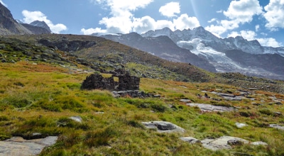
You will reach a small chapel, the route goes on the left side of it, ascending onto the mountain. At another signpost keep left. There will be another route going to Tsaplana, 3C, but we recommend going up route 3.
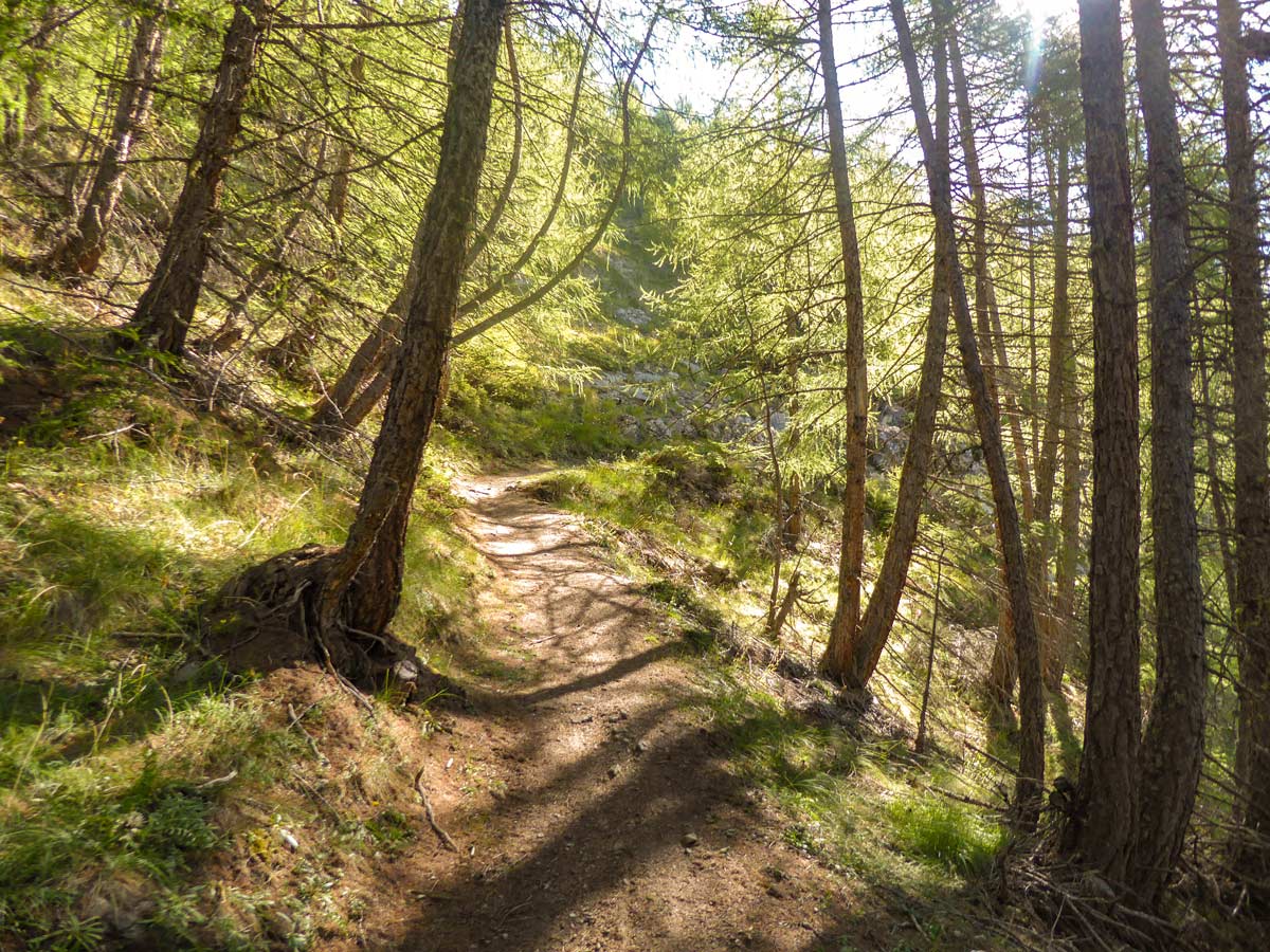
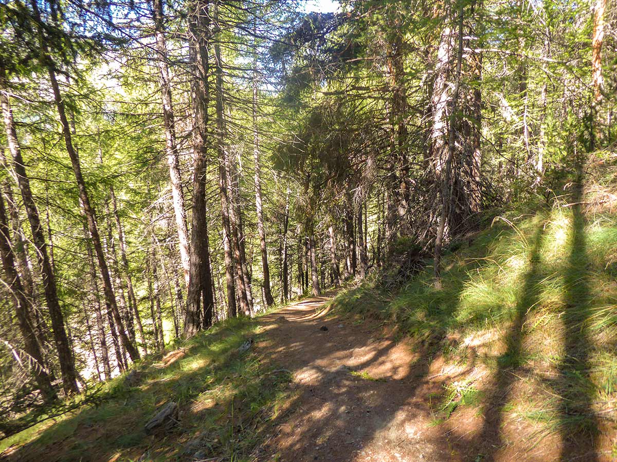
After ascending again, you will see a map. The trail ascends into the pine forest left of it.
The elevation evens out in the forest. You will walk this section in the shade, which makes it an enjoyable part of the trail. You will then reach a signpost with the sign 3B which continues up. Follow this trail.
The ascent will intensify. You will pass a slightly exposed section and then come to a fork. Go left and ascend further.
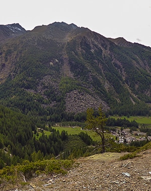
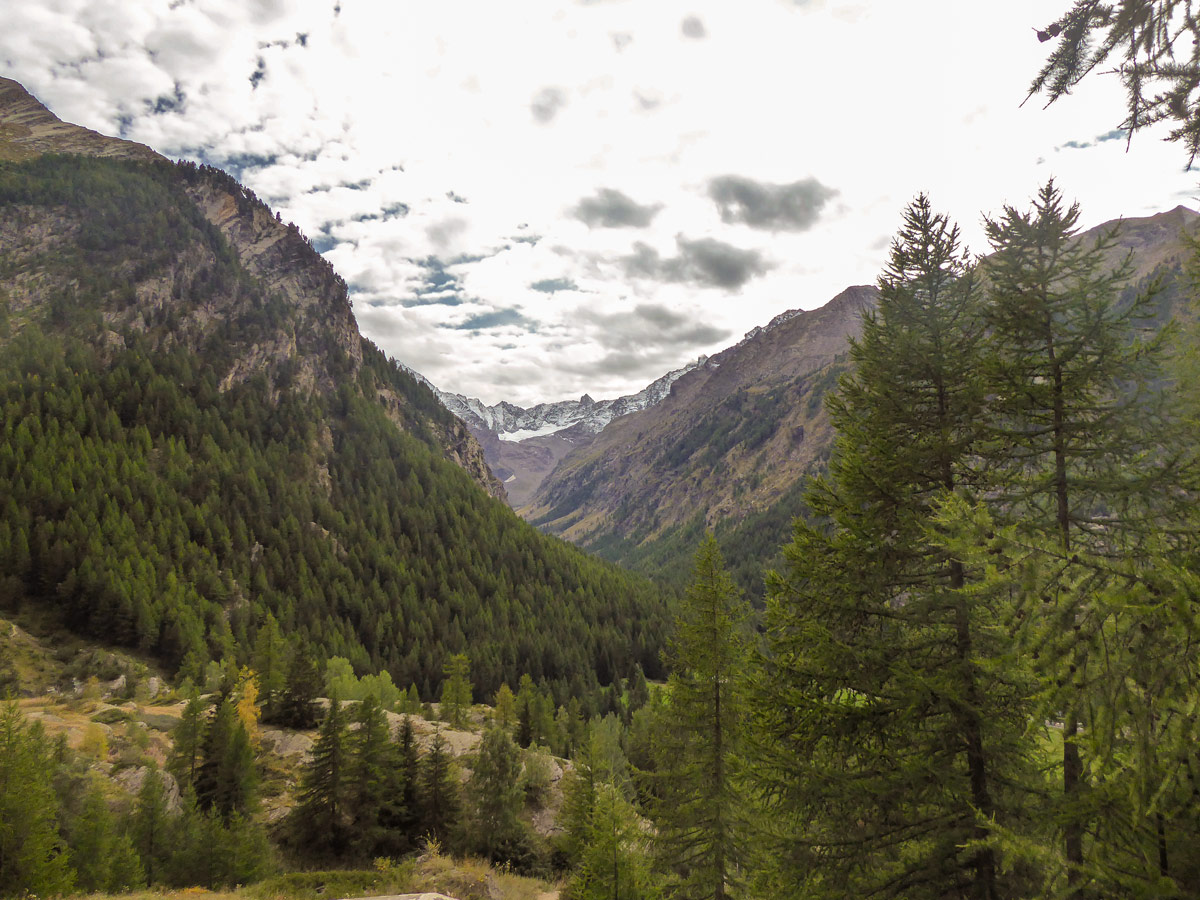
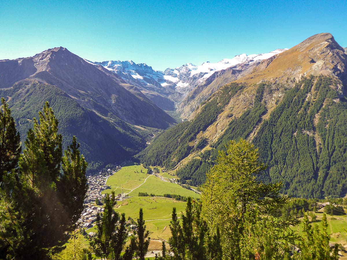
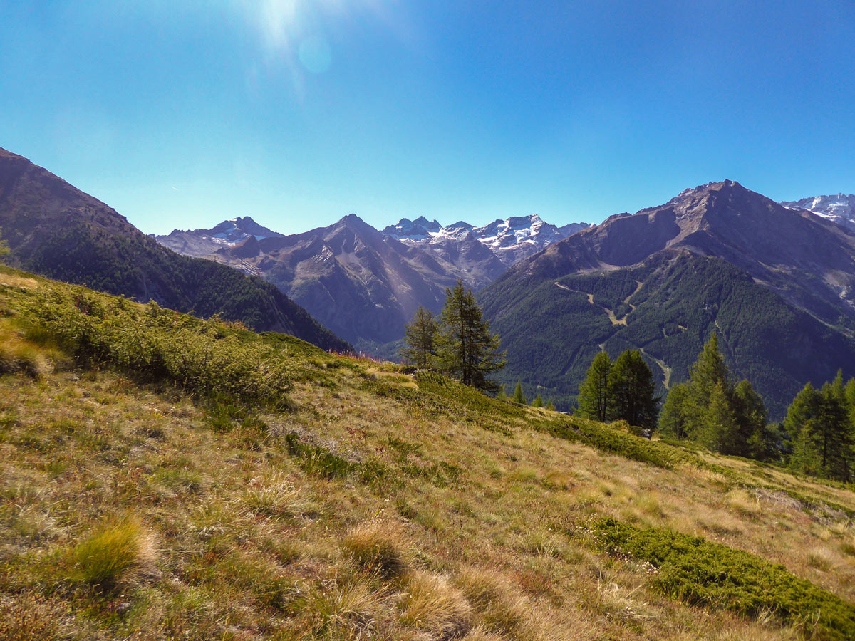
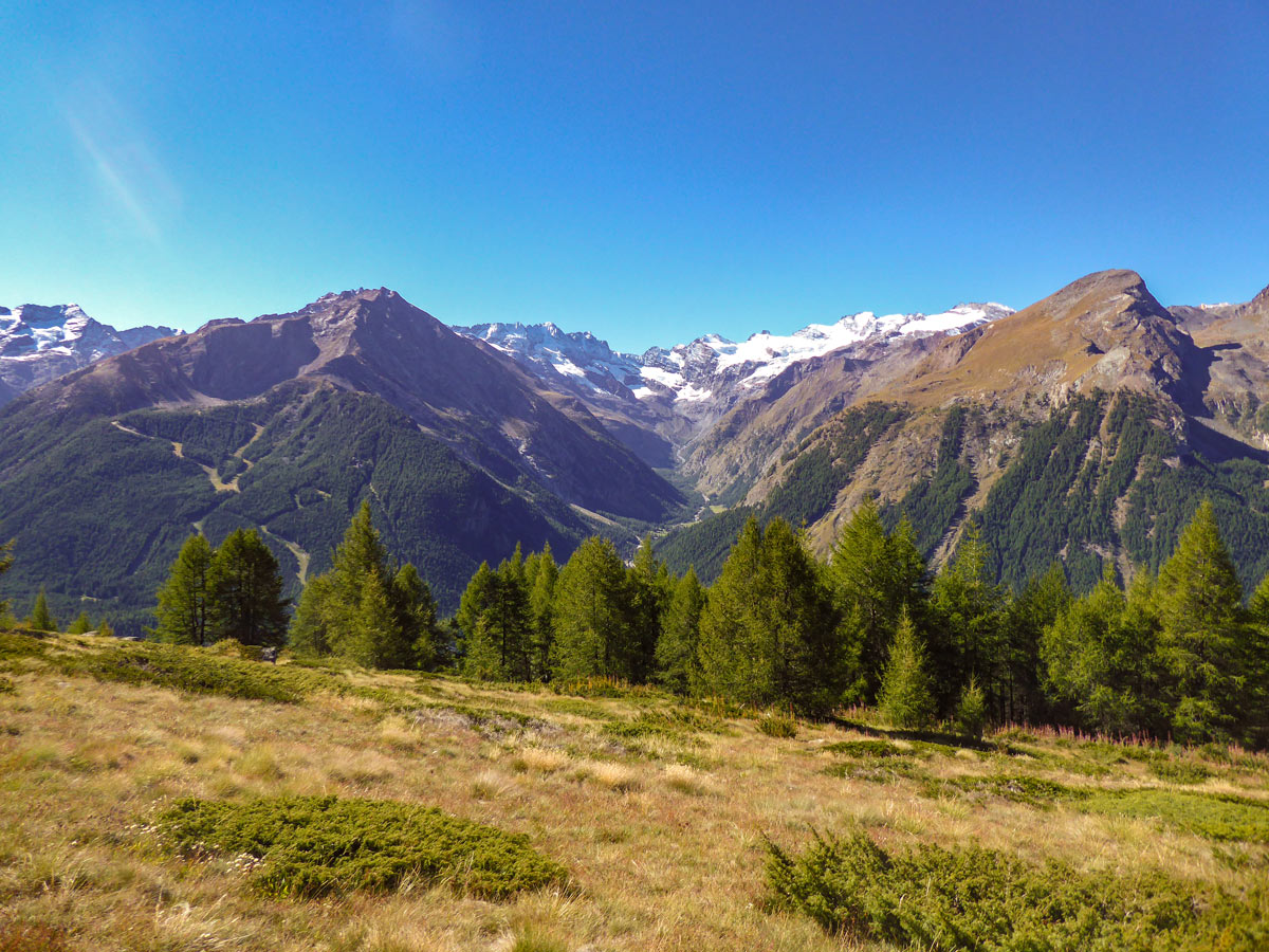
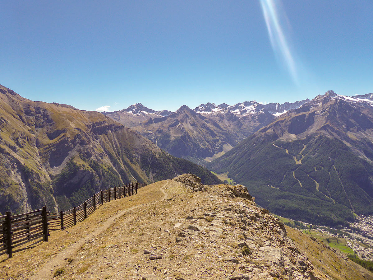
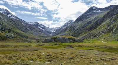
You will soon leave the forest and walk into a meadow. Look south – you will see the stunning views of Valnontey Valley. You will also see the snowy towering peaks with the crown jewel – the Gran Paradiso. Continue your long switchbacking up to Tsaplana Peak.
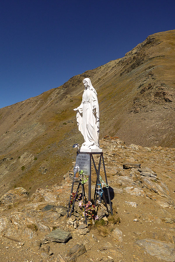
The ascent becomes steeper right towards the end. You will see a metal fence construction at the top. The peak is just behind the fence. It is clearly marked with a white statue of St Mary.
Enjoy the breathtaking panoramic views of Gran Paradiso Mountain and the surrounding peaks. The Tsaplana peak is also a great spot for a picnic as it has almost no exposure and quite a lot of space to relax.
Going back the same way, mix it up and take the 3D route turning left at the fork. The route will take you on a nice and long descent before you reach another fork. This time turn right and follow the 3C route. After a little bit more descent, turn left and follow the 3D route which takes you back to the village of Gimillan. If it’s very sunny, go back the same way you came up as this route has more shade.
Insider Hints
After you reach the meadow above the treeline of the forest, you will have no shade. Make sure you use sunscreen.
If the car park before Gimillan is full, don’t worry. Drive into the town and turn right at the first crossroad. There is another long car park just along a field where a few other hikes start.

Similar hikes to the Tsaplana Peak hike
Alpe Money
The Alpe Money Hike is a beautiful trail in Gran Paradiso National Park. It takes you right up to the…
Rifugio Vittorio Sella
Rifugio Vittorio Sella is one of the most scenic hikes in Gran Paradiso National Park. The trail rewards you with…
Lago di Loie
The Lago di Loie hike takes you on a circular route to the peaceful and crystal-clear Lake Loie. It offers…
Alexis Schweitzer 4 years ago
The view is perfect and you have to choose a clear sky day
Francesco D. 4 years ago
Great views of the peaks and valley and also the village
Chloe P. 5 years ago
Absolutely beautiful! I got some sunburn after doing the hike. It might be because of the exposed trail.
Larry I. 5 years ago
Outstanding hike. The steady uphill was quite a challenge, but it's pretty straightforward. Overall, I think it's a beautiful hike worth doing.
Saanvi Jt 5 years ago
Views at the top of Tsaplana Peak are incredible...just stunning, in all directions
George M. 5 years ago
I appreciate every single thing I see in this hike. This place is magic!
Laura K. 5 years ago
My nose got sunburned. I never thought this hike would be exposed to sun...not mad about it though. that would be pathetic.
Julie France 6 years ago
The small village surrounded by mountains was breathtaking. It wasn't a very common thing for me to see.