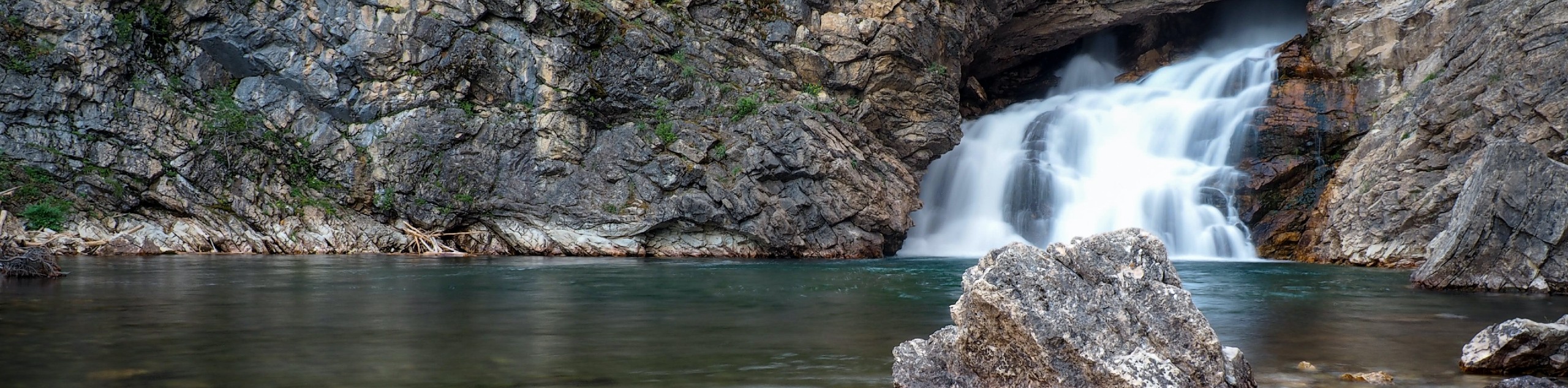
Running Eagle Falls
View Photos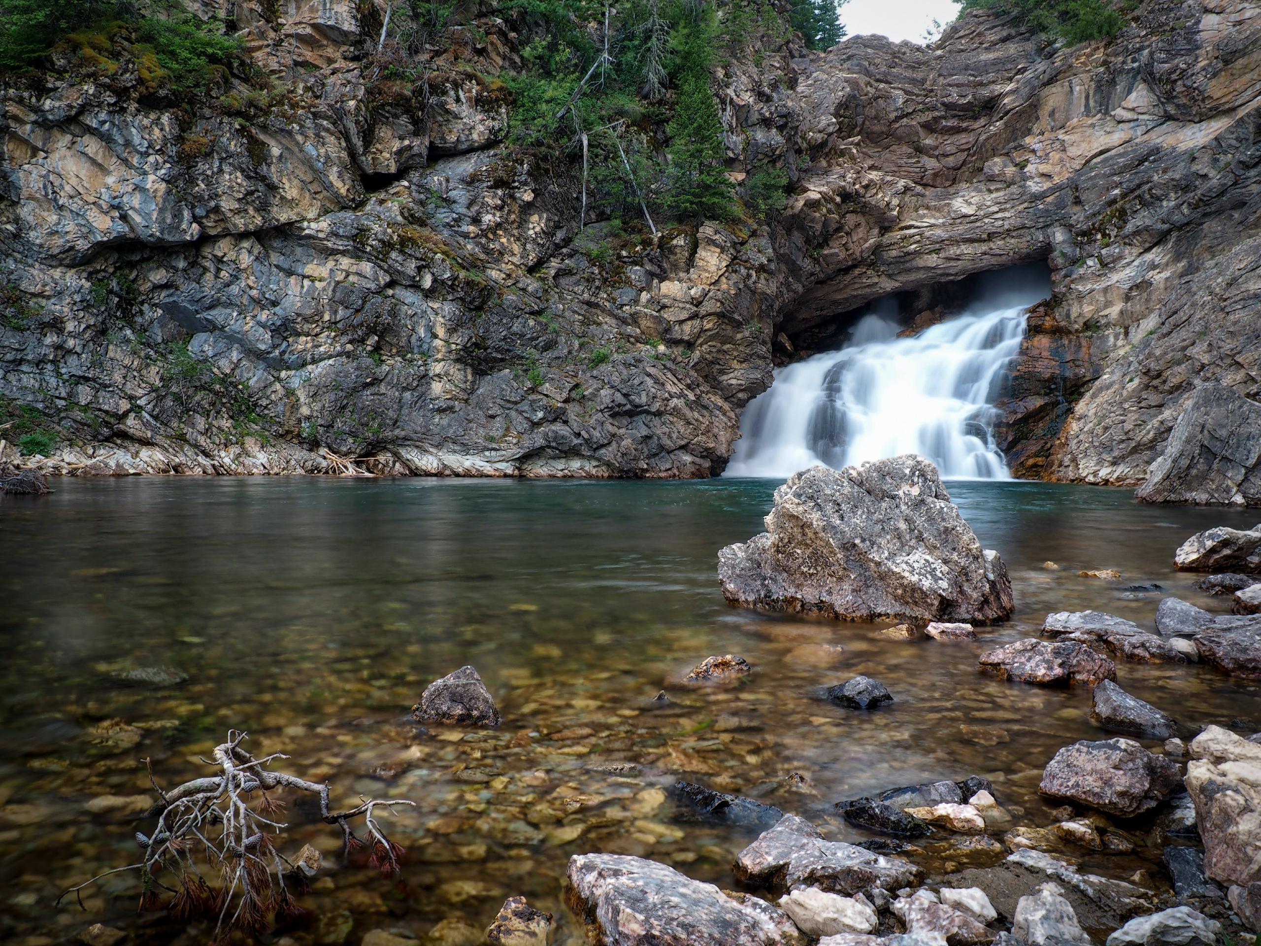
Running Eagle Falls
Difficulty Rating:
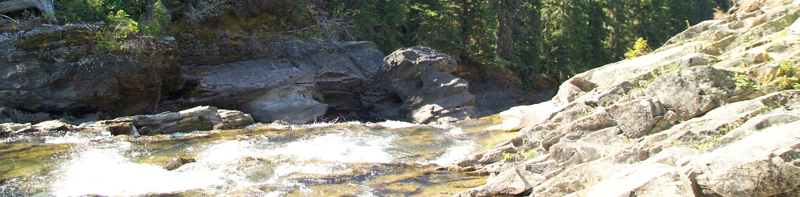
Running Eagle Falls Trail is a great kid and wheelchair-friendly hike that takes you through stunning scenery. Upon arrival at the waterfall, you will see the smaller rush of water at the base; however, there is more than meets the eye. The Running Eagle Falls are also known as Trick Falls, as a second, only-visible-in-the-summer, 40ft waterfall lays overhead and blocks the smaller waterfall. This second, large waterfall only flows in the spring and summer months.
Getting there
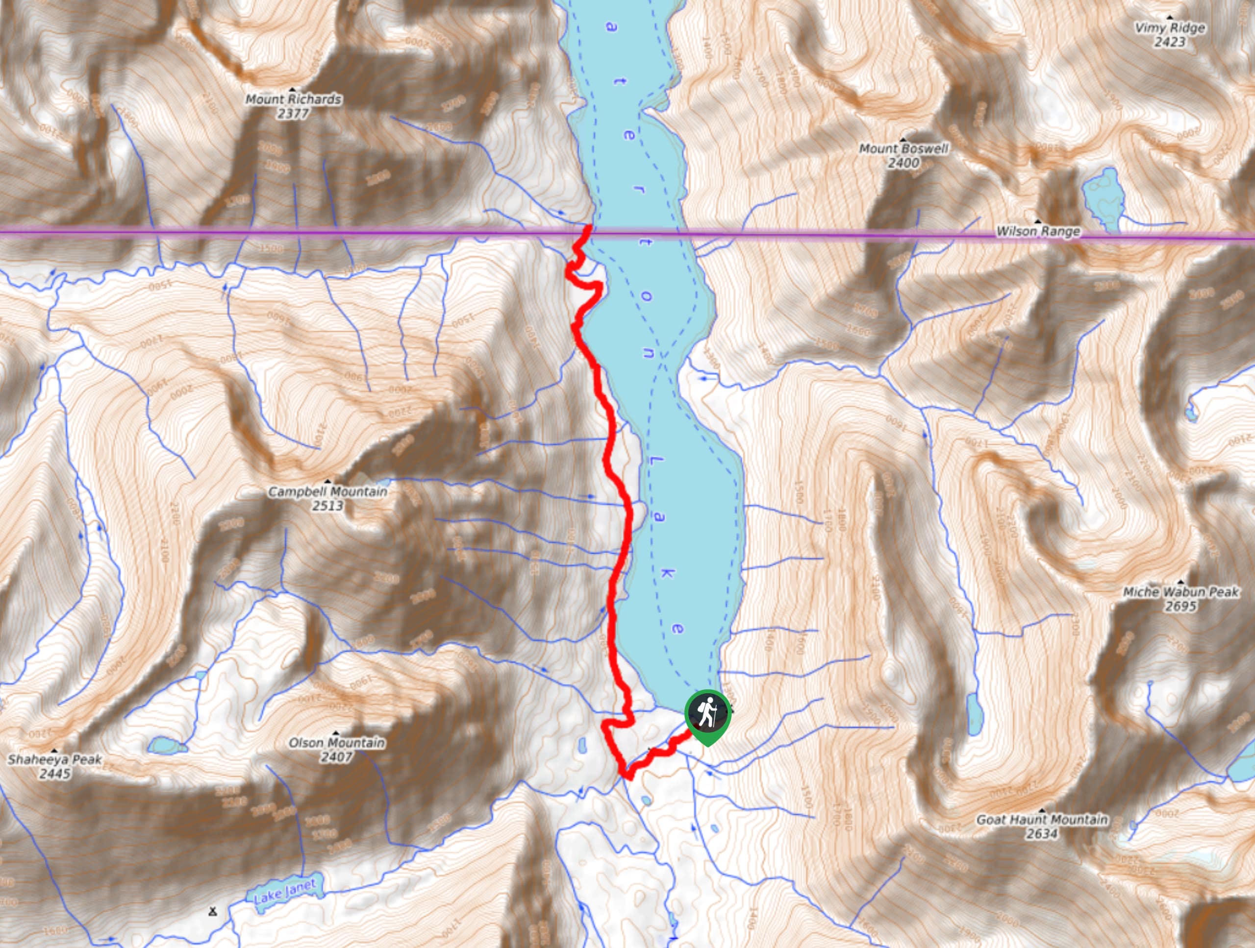
To get to Running Eagle Falls Trail from Two Medicine Campground, head West on Two Medicine Road toward Dry Fork Trail for 2.1mi until you reach your destination.

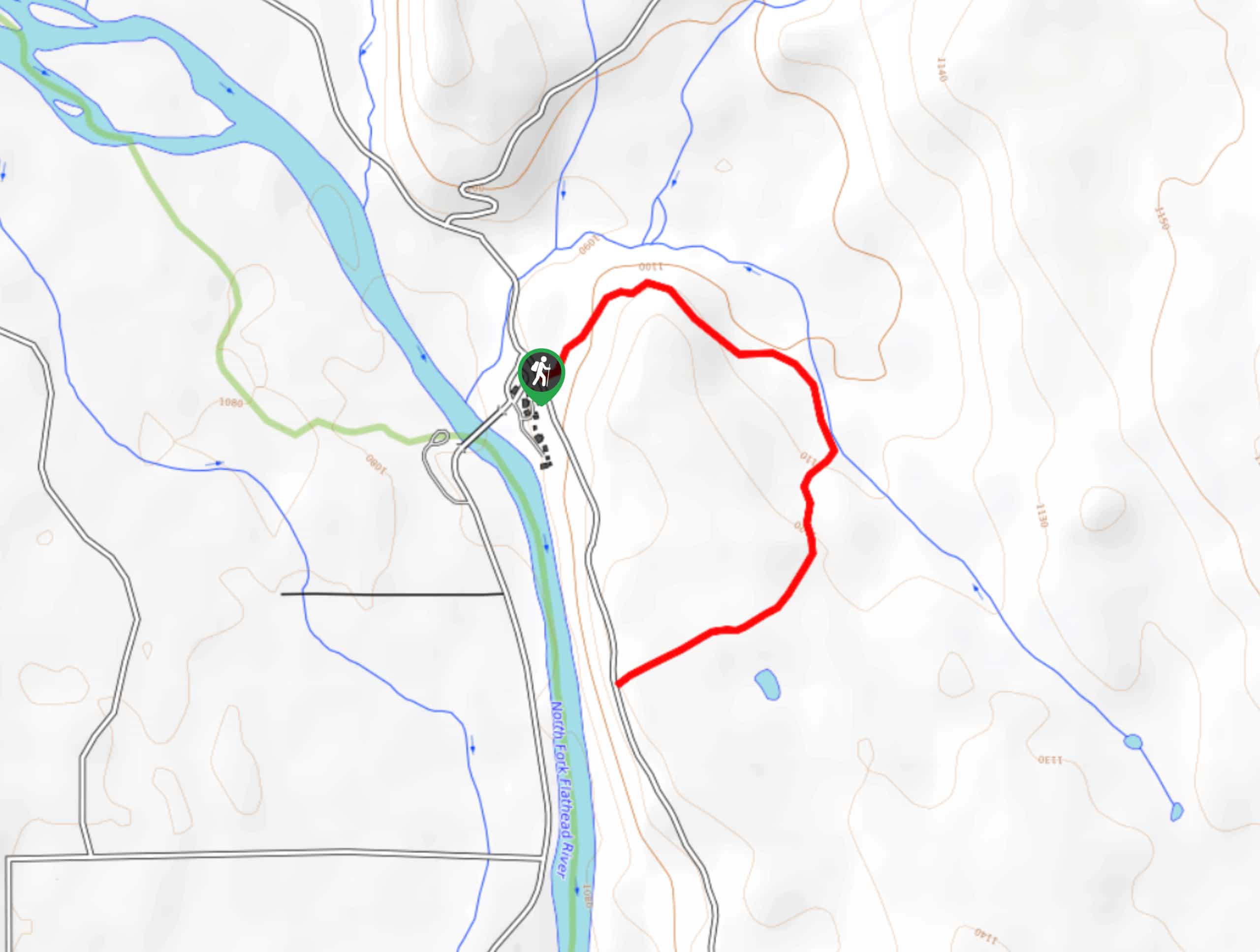
About
| When to do | April - October |
| Backcountry Campsites | No |
| Pets allowed | No |
| Family friendly | Yes |
| Route Signage | Average |
| Crowd Levels | High |
| Route Type | Lollipop |
Running Eagle Falls
Elevation Graph
Weather
Running Eagle Falls Trail Description
Running Eagle Falls Trail is a popular, heavily trafficked hike that is a great experience for kids. Wander down a paved path until you reach a wooden footbridge, which shows the first signs of the waterfalls. As you continue to get closer, the views become more stunning as you see the waterfall surrounded by trees, bedrock and the mountains in the distance. This is a short lollipop trail, so follow the signs to find your way back out.
Similar hikes to the Running Eagle Falls hike
Waterton Overlook Trail
The Waterton Overlook Trail is a unique hike as it begins by crossing the border by boat from Canada to…
Rainbow Falls Trail
The Rainbow Falls Trail is a gorgeous hike that sits near the Canadian and United States border. It takes you…
Covey Meadow Loop Trail
The Covey Meadow Loop Trail is a tranquil hike through meadows and trees peppered with wildflowers. The mountains that Glacier…
Comments