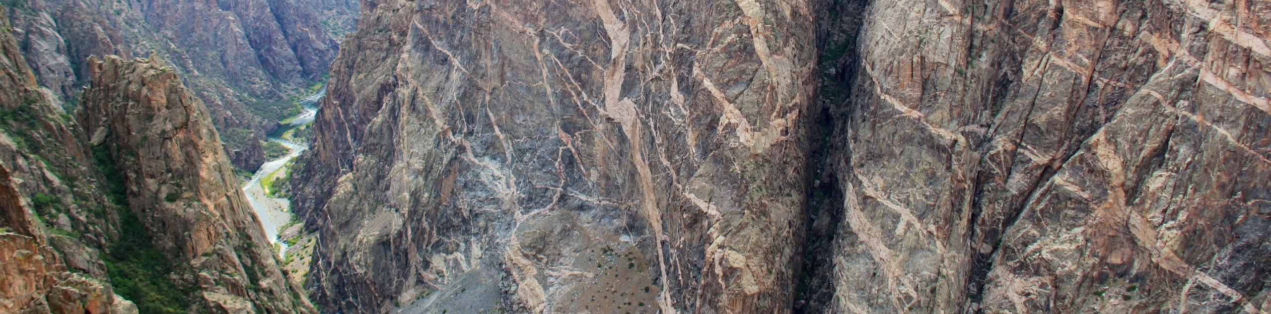
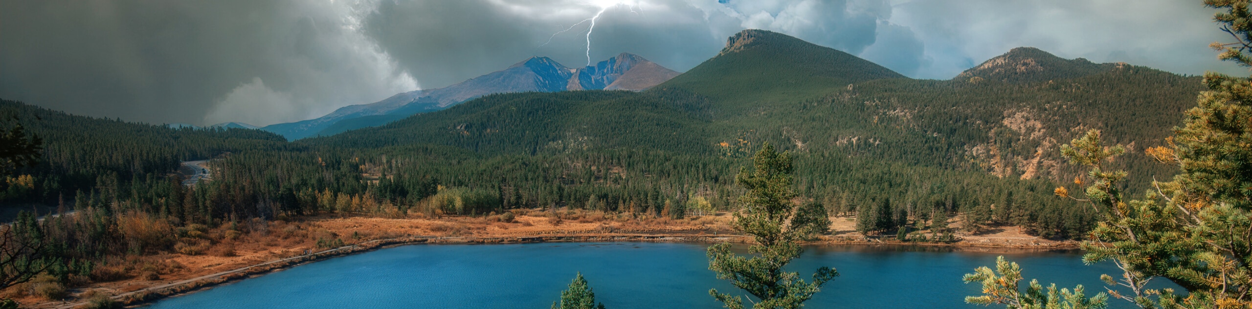
Dark Canyon Trail
View Photos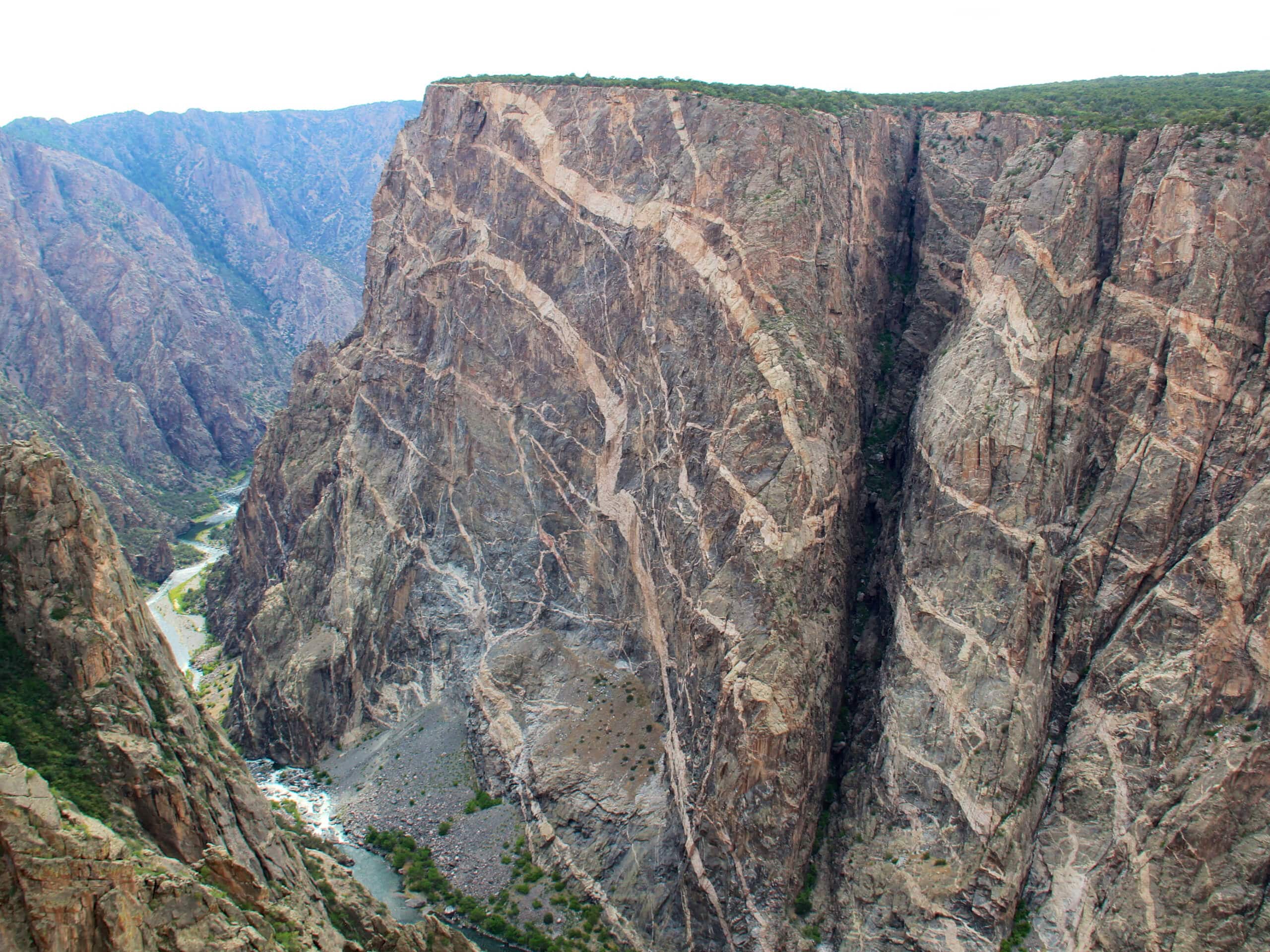
Dark Canyon Trail
Difficulty Rating:
The Dark Canyon Trail is a rough and rugged journey through the Elk Mountains of Colorado that is only suitable for very experienced hikers. While out on the trail, you will climb uphill through the canyon alongside the waters of Anthracite Creek, working your way through the rugged terrain of the mountains while enjoying wonderfully scenic views of the surrounding peaks. As this is a one-way trail, you will need to arrange a pick up at the endpoint of the route, or else you will need to back track the entire distance to return to your vehicle.
Getting there
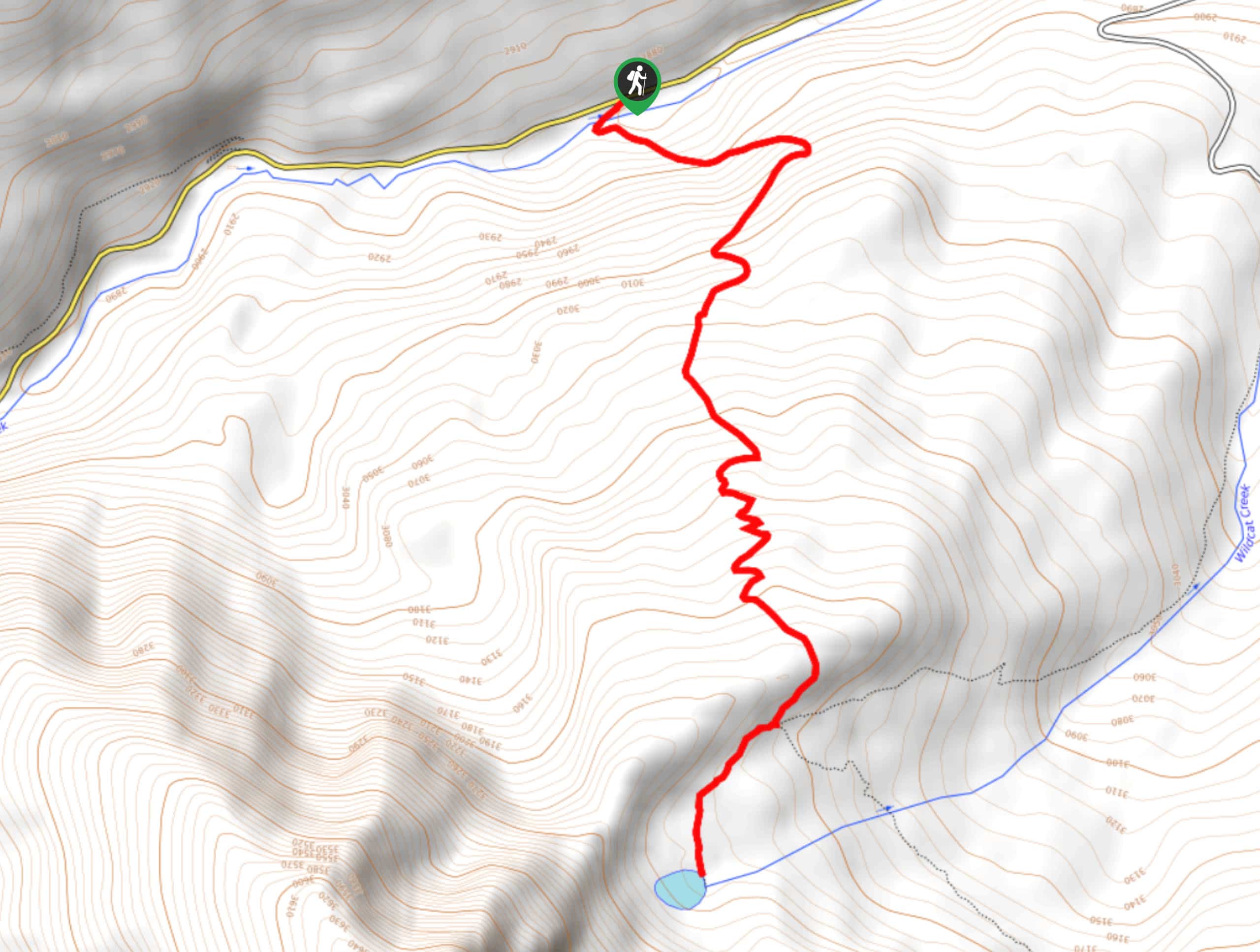
The trailhead for the Dark Canyon Trail can be found at the Erickson Springs Campground.

About
| Backcountry Campground | No |
| When to do | March-November |
| Pets allowed | Yes - On Leash |
| Family friendly | No |
| Route Signage | Average |
| Crowd Levels | Low |
| Route Type | One Way |
Dark Canyon Trail
Elevation Graph
Weather
Dark Canyon Trail Description
For those intrepid adventurers that are in search of a lengthy and challenging route through the Elk Mountains, the Dark Canyon Trail is the perfect route to experience the rugged landscape of Colorado. Dramatic mountain peaks, deep valleys, and countless streams await on this fun backcountry adventure. Be sure to wear long pants to combat the overgrown nature of the trail, and remember to bring bear spray.
Setting out from the trailhead at the Erickson Springs Campground, you will make your way to the east alongside Anthracite Creek to begin following it uphill through the canyon. Here, you will pass through stretches of woodland terrain, rock-strewn ground, and sloping hillsides, as you continue to steadily gain elevation.
After the trail turns to the southeast and you cross over the waters of Anthracite Creek, the route will begin to climb more sharply uphill along a switchback path known as the Devil’s Stairway. From here, the route will turn more directly to the south and take you across the rugged terrain of several gullies, where you will cross over countless creeks, including Silver Creek and Sardine Creek. Keeping to the south, you will begin to descend the mountainside and work your way through the forest, passing by several small ponds to arrive at the endpoint of the trail.
Similar hikes to the Dark Canyon Trail hike
Prospector Trail
The Prospector Trail is a fun hiking adventure near Crested Butte, Colorado that will take you uphill for beautiful views…
Lily Lake Trail #639
The Lily Lake Trail #639 is an easy-going hiking route in the Elk Mountains of Colorado that will lead you…
Green Lake via Carbon Trail
The Green Lake via Carbon Trail is an amazing experience in Crested Butte, Colorado that will take you to a…
Comments