

South West Coast Path: Seaton/Axmouth to West Bay
View PhotosSouth West Coast Path: Seaton/Axmouth to West Bay
Difficulty Rating:
The South West Coast Path: Seaton/Axmouth to West Bay is a wonderfully scenic journey along the South Devon coast that offers a variety of terrain and stunning views across the English Channel. While out walking the trail, you will head through the Axmouth to Lyme Regis Undercliffs NNR before walking the coastline into Dorset above beautiful beaches that border the ocean. While this lengthy walk can be done year-round, certain parts of it can be fairly muddy/slippery during the winter season, so make sure to exercise caution during this time.
Getting there
To reach the South West Coast Path: Seaton/Axmouth to West Bay trailhead from the Seaton Jurassic Long Stay Car Park, head south on The Underfleet for 0.1mi and continue straight through the roundabout for 395ft. At the second roundabout, take the first exit onto Harbour Road and follow it for 0.4mi to reach the trailhead.
About
| Backcountry Campground | No |
| When to do | Year-Round |
| Pets allowed | Yes - On Leash |
| Family friendly | No |
| Route Signage | Average |
| Crowd Levels | Moderate |
| Route Type | One Way |
South West Coast Path: Seaton/Axmouth to West Bay
Elevation Graph
Weather
Seaton/Axmouth to West Bay Trail Description
Featuring a good variety of terrain and beautifully scenic views across the English Channel, the South West Coast Path: Seaton/Axmouth to West Bay is a great long-distance walking route that will showcase the beauty of the landscape. There are some stretches of rugged terrain along this walk in addition to a large amount of elevation gain, so come prepared with sturdy walking boots and plenty of water.
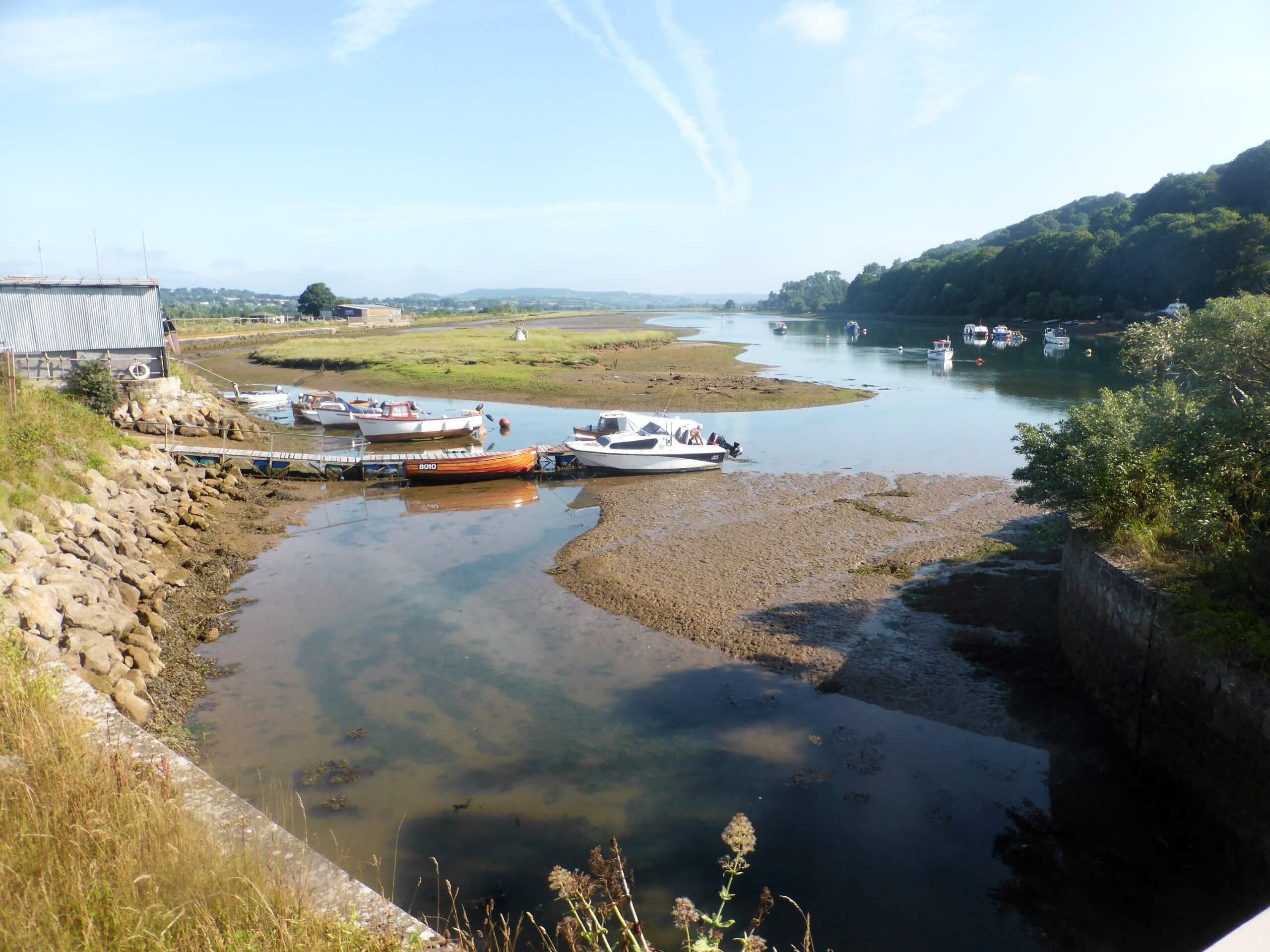
Setting out from the trailhead in Seaton, you will head to the east and cross over the River Axe before climbing up the somewhat steep hillside past the golf course. From here, you will traverse the heavily forested landscape of the Axmouth to Lyme Regis Undercliffs NNR, where you will be able to relax in the seaside woodland atmosphere that seems to be brimming with life.
After making your way through the town of Lyme Regis, you will climb uphill and around the rugged Lyme Cliffs in order to continue making your way to the east along the coast. Crossing the River Char, you will briefly walk alongside the beach, before climbing uphill once more to traverse the coastal cliffs overlooking the English Channel. The trail will continue on like this until you make the descent into the trail’s end in West Bay.
Similar hikes to the South West Coast Path: Seaton/Axmouth to West Bay hike

Exmouth and Dawlish Warren Walk
Walking the Exmouth and Dawlish Warren Trail is a beautifully scenic but physically demanding excursion in Devon that will see…

Stoke Woods Circular Walk
The Stoke Woods Circular Walk is a quick and fairly easy adventure near Exeter that will expose you to some…

Ottery Saint Mary Woodland Walk
The Ottery Saint Mary Woodland Walk is a great excursion in Devon that features some relatively easy to manage terrain…


Comments