

Meldon Reservoir and Black Tor Walk
View PhotosMeldon Reservoir and Black Tor Walk
Difficulty Rating:
The Meldon Reservoir and Black Tor Walk is a spectacular adventure in Dartmoor National Park that will expose you to some breathtaking views of the rugged landscape that can be found here. The trail sets out from the car park and travels along the edge of the charming reservoir before climbing uphill through some rugged terrain along the West Okement River to traverse Black Tor and Longstone Hill. This is an arduous journey, but the epic views are more than worth the trouble.
Getting there
To reach the trailhead for the Meldon Reservoir and Black Tor Walk from Okehampton, head southwest on West Street/B3260 for 2.7mi and continue straight for another 0.3mi. Make a slight left here and continue on for 0.1mi before turning left. In 0.3mi, you will find the car park on the left.
About
| When to do | March-November |
| Backcountry Campsites | No |
| Pets allowed | Yes - On Leash |
| Family friendly | Older Children only |
| Route Signage | Average |
| Crowd Levels | Moderate |
| Route Type | Lollipop |
Meldon Reservoir and Black Tor Walk
Elevation Graph
Weather
Meldon Reservoir and Black Tor Walk Description
While the Meldon Reservoir and Black Tor Walk isn’t overly long, it does feature some steep and rugged terrain that will not be suitable for all walkers. Make sure to wear proper walking boots with good ankle support in order to have the best footing on the trail. Additionally, portions of this trail can become boggy and waterlogged after a good rainfall, so waterproof shoes are recommended in these conditions. If you are travelling with a dog, remember to keep them on a lead in areas where livestock are present.
If you are able to handle the rugged terrain and strenuous nature of this walk, then it will make for an amazing afternoon on the trails with some superb views overlooking the barren landscape of Dartmoor National Park. While out exploring the trails, you will experience some lovely views along the banks of the Meldon Reservoir before climbing uphill across Black Tor and Longstone Hill for some elevated sightlines. What a great way to spend an afternoon exploring the unique landscapes of southwest England.
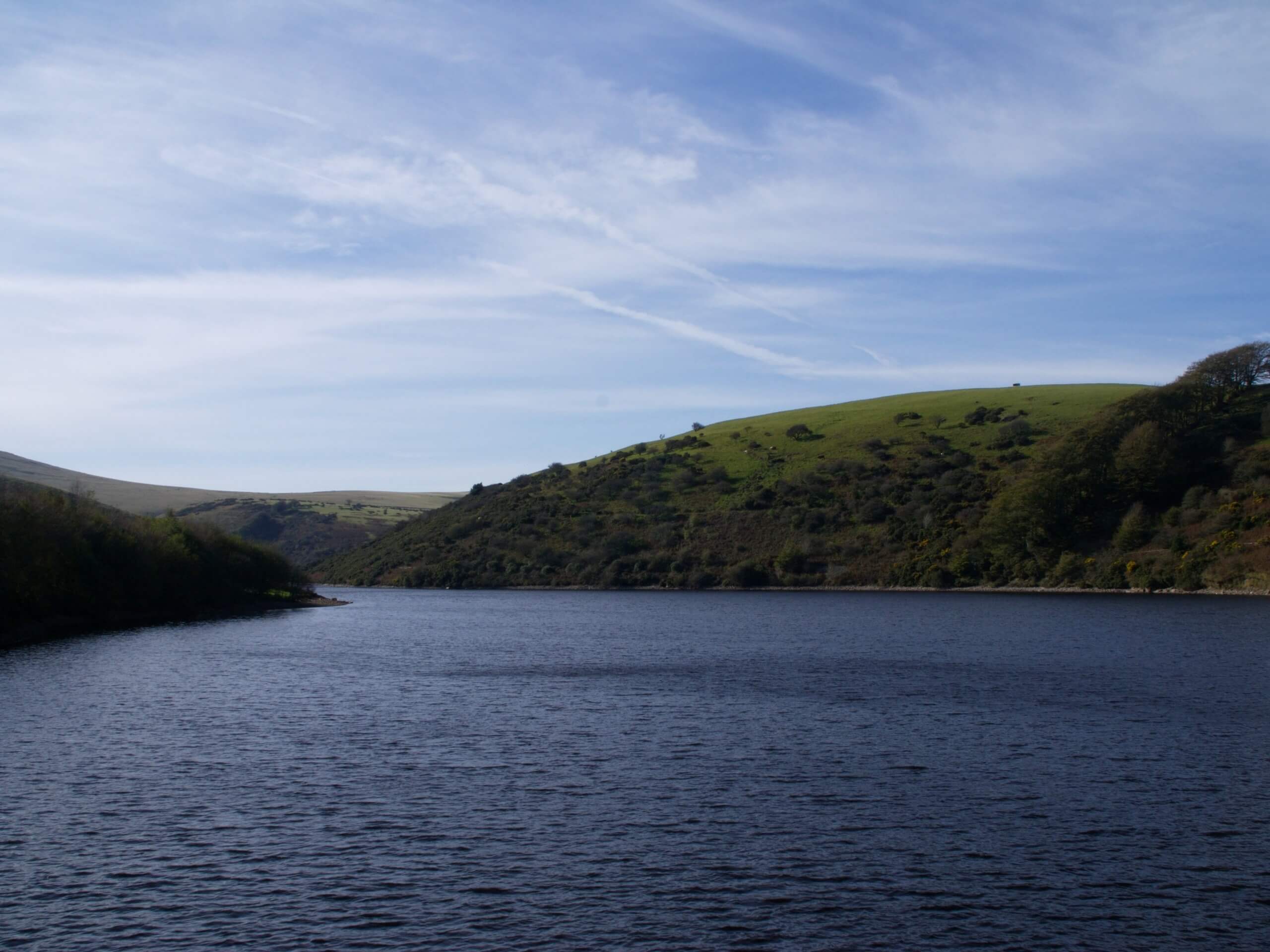
Setting out from the car park, make your way to the southeast and cross over the Meldon Dam, enjoying the views that stretch out across the calm surface of the water and include the steep slopes of the surrounding hills. Reaching the opposite side, take the path on the right and keep to the right for the next 0.18mi to walk along the water’s edge. Here, take the path on your right that breaks away from the main track and continue to follow it for 0.84mi, crossing over a bridge and working around the steep slopes along the edge of the reservoir until you arrive at a junction with a bridge.
Don’t cross over the bridge. Instead, keep left along the trail for 0.88mi, following along the banks of the West Okement River as it leads you uphill towards Black Tor. Reaching a trail junction just in front of Black-a-Tor Copse, turn left and make your way up the steep and rugged hillside to the summit of Black Tor. Enjoy the views that sweep across the barren landscape of Dartmoor National Park, before continuing to the northeast.
Keeping left along the trail, you will slightly descend the wide open hillside for 1mi, where you will arrive at the top of Longstone Hill. Enjoy the views of the large quarry to the northeast and the reservoir to the west, as you continue downhill and keep left along the path for 0.7mi. Here, you will meet up with the junction where you originally broke free from the main track to walk along the water’s edge. At this point, you can simply retrace your footsteps around Meldon Reservoir and back across the dam to wrap up your day exploring the natural beauty of Dartmoor National Park.
Trail Highlights
Meldon Reservoir
Located in the northwest portion of Dartmoor National Park, Meldon Reservoir is a charming body of water that sits just below High Willhays and Yes Tor, which are the only two mountains in the south of England. The setting here is beautiful, making it a popular spot for walkers, anglers, and those looking for a picturesque destination for a picnic lunch.
Frequently Asked Questions
Can you fish in Meldon Reservoir?
Free wilderness Brown Trout fishing is available at Meldon Reservoir, although access is limited due to the rugged and steep terrain along the water’s edge. Spinning, fly fishing, and bait fishing are all permitted here.
Insider Hints
Toilets can be found at the starting point of the walk.
This route is very exposed to the elements, so make sure to wear appropriate clothing and extra layers.
Sturdy walking boots - preferably waterproof - are necessary for this adventure, as the trail is steep, rocky, and can be bogged down after a good rainfall.
Grazing livestock will likely be present in the area, meaning that you should keep dogs on a lead to avoid any interactions.
Similar hikes to the Meldon Reservoir and Black Tor Walk hike

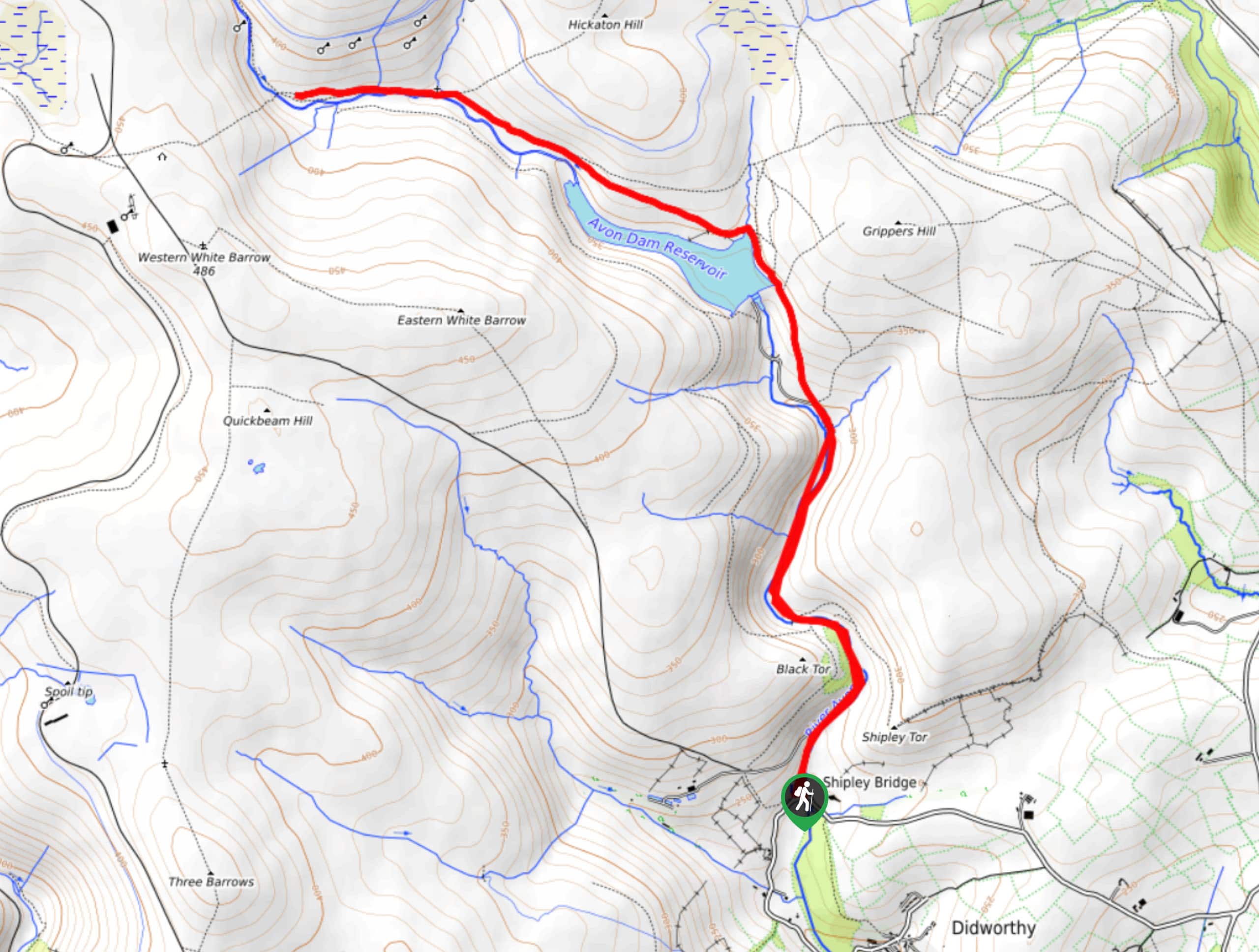
Shipley Bridge and Avon Dam Reservoir Walk
Located in the southern part of Dartmoor National Park, the Shipley Bridge and Avon Dam Reservoir Walk is a lovely…

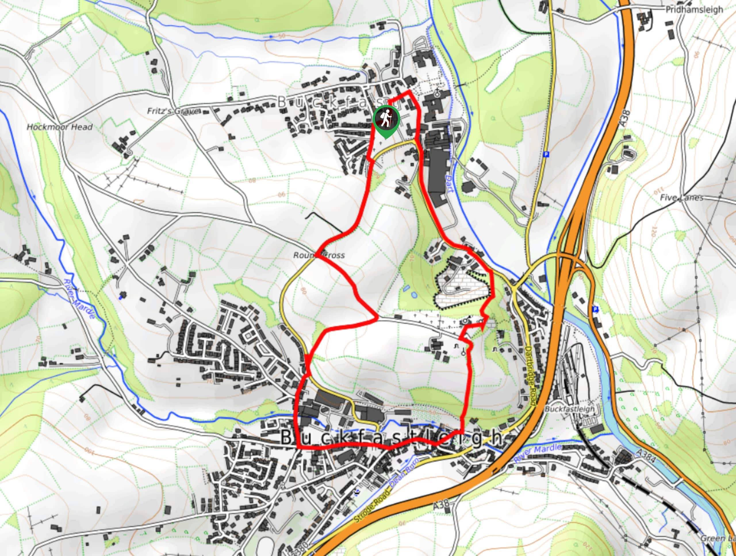
The Sherlock Holmes Track
The Sherlock Holmes Track is a fun adventure in the southeast corner of Dartmoor National Park that will take you…

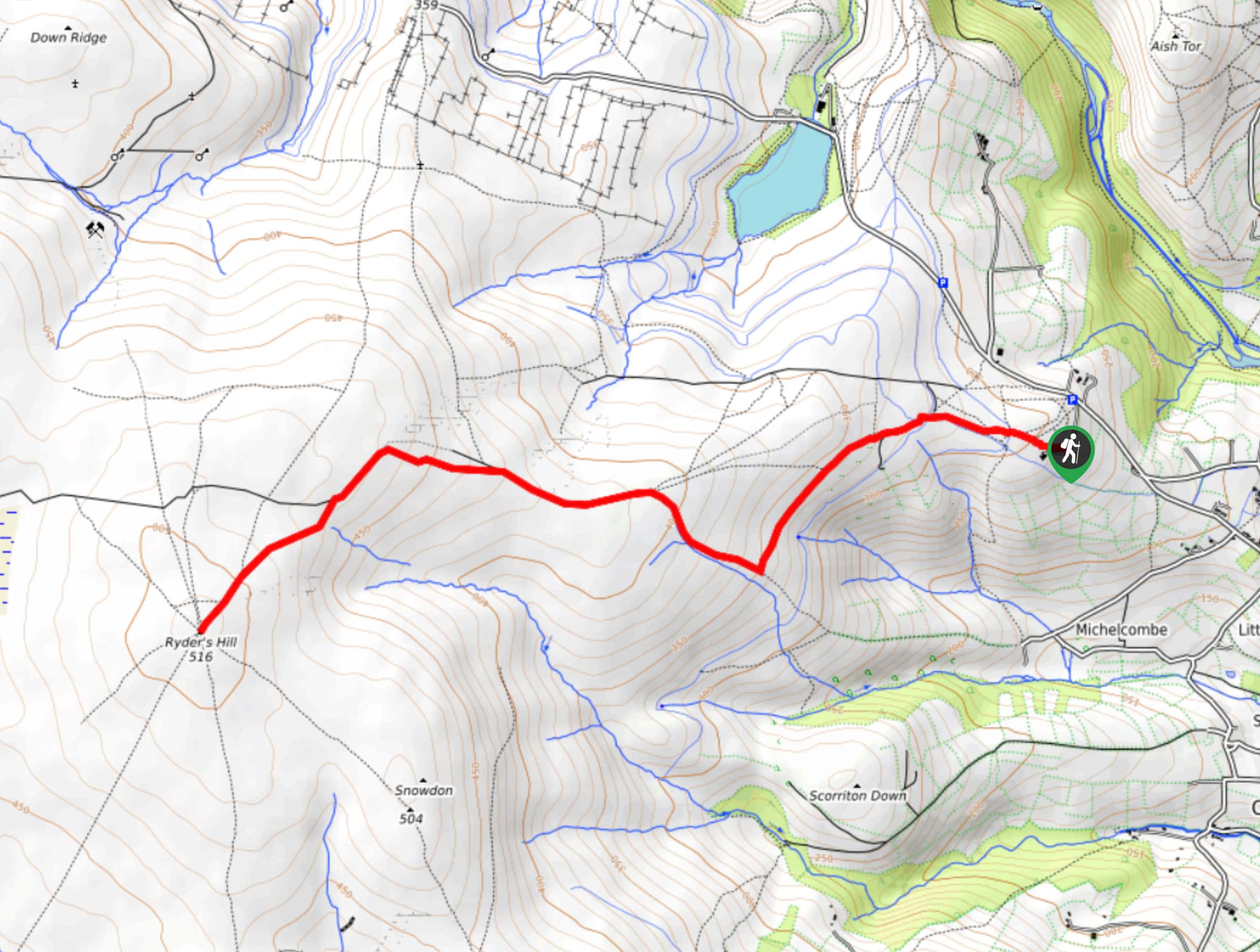
Ryder’s Hill via Sandy Way Trail
The Ryder’s Hill via Sandy Way Trail is a beautiful walking route in Dartmoor National Park that will lead you…


Comments