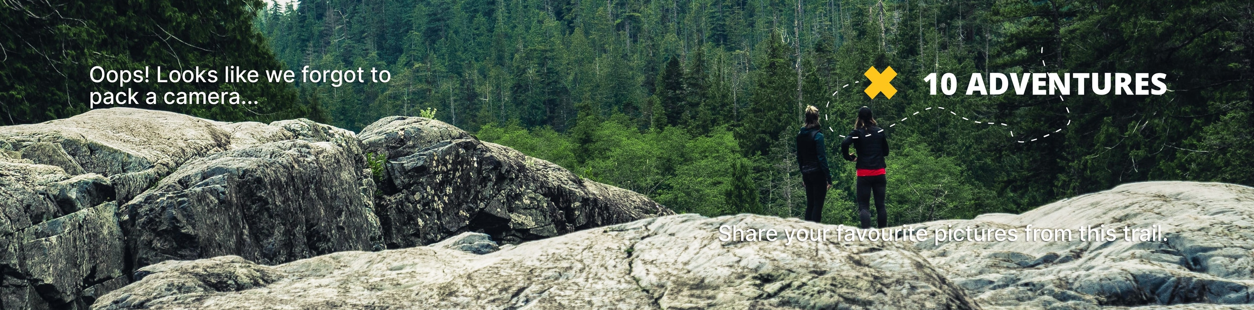
Stephanie’s Trail
View Photos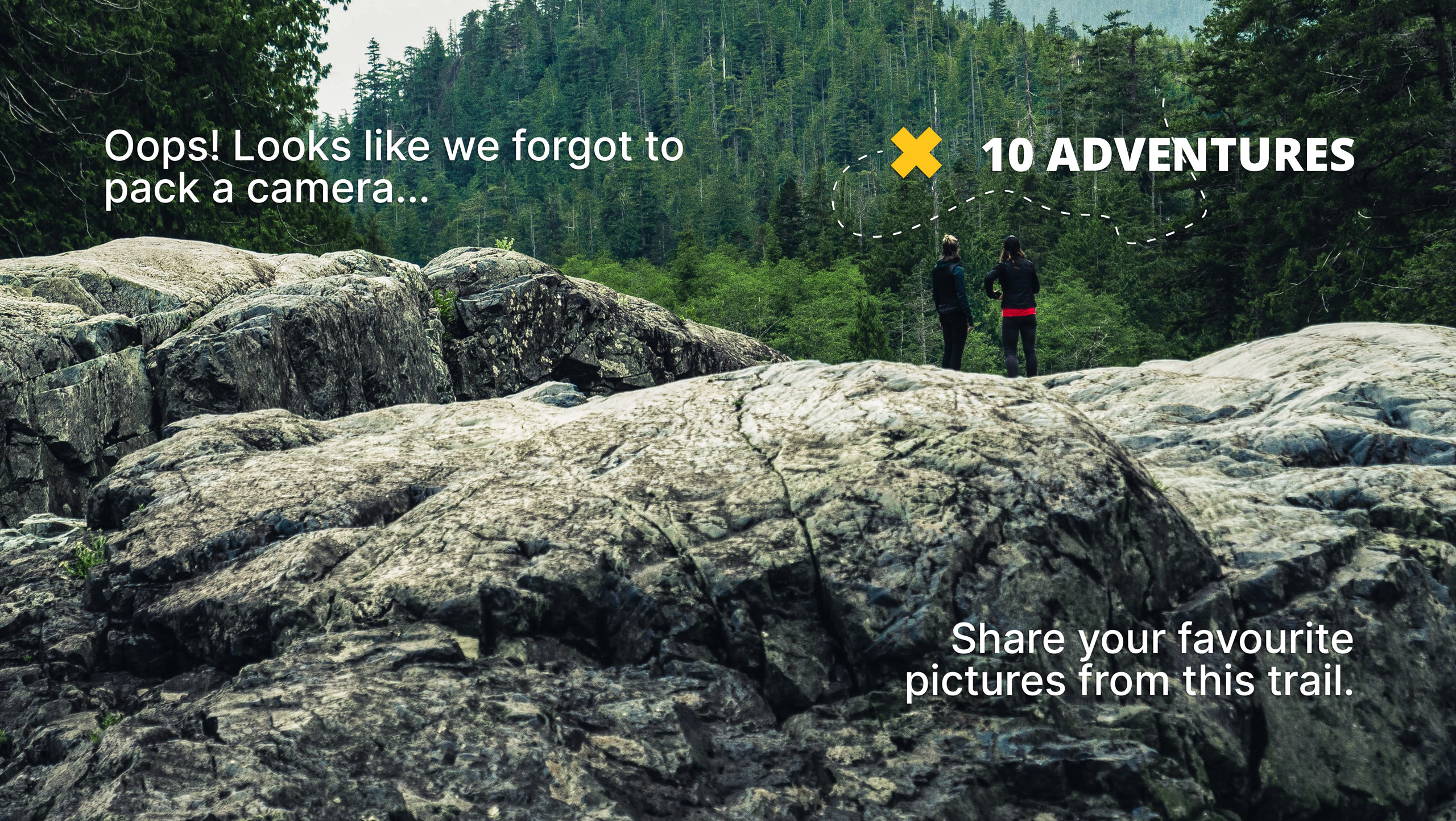
Stephanie’s Trail
Difficulty Rating:
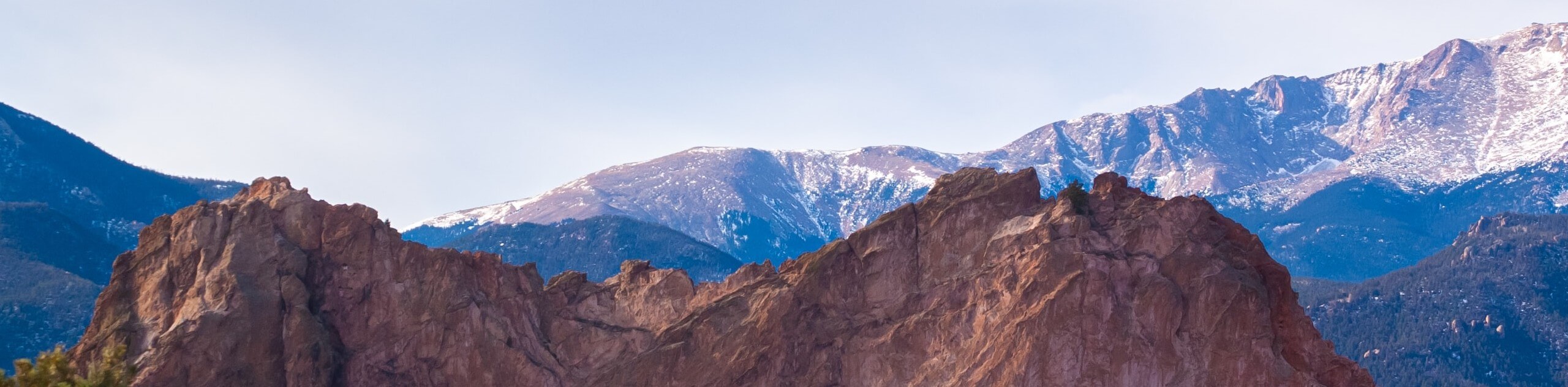
Short, sweet, and scenic, this trek reveals awe-inspiring panoramas of the verdant foothills. This epic adventure is a great way to get outdoors without having to commit the whole day. Let the fresh air fill your lungs as you wander this enchanting adventure.
Getting there
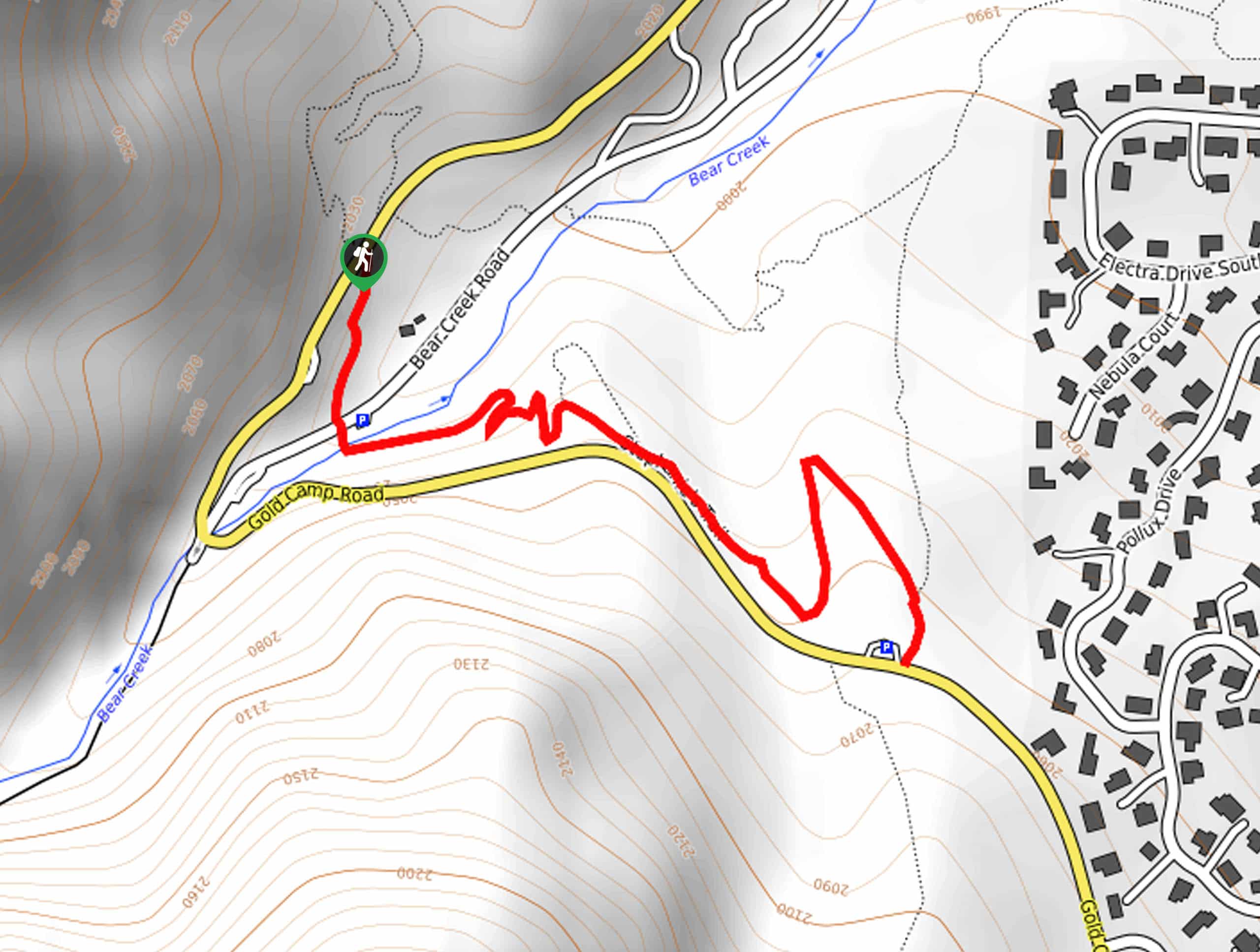
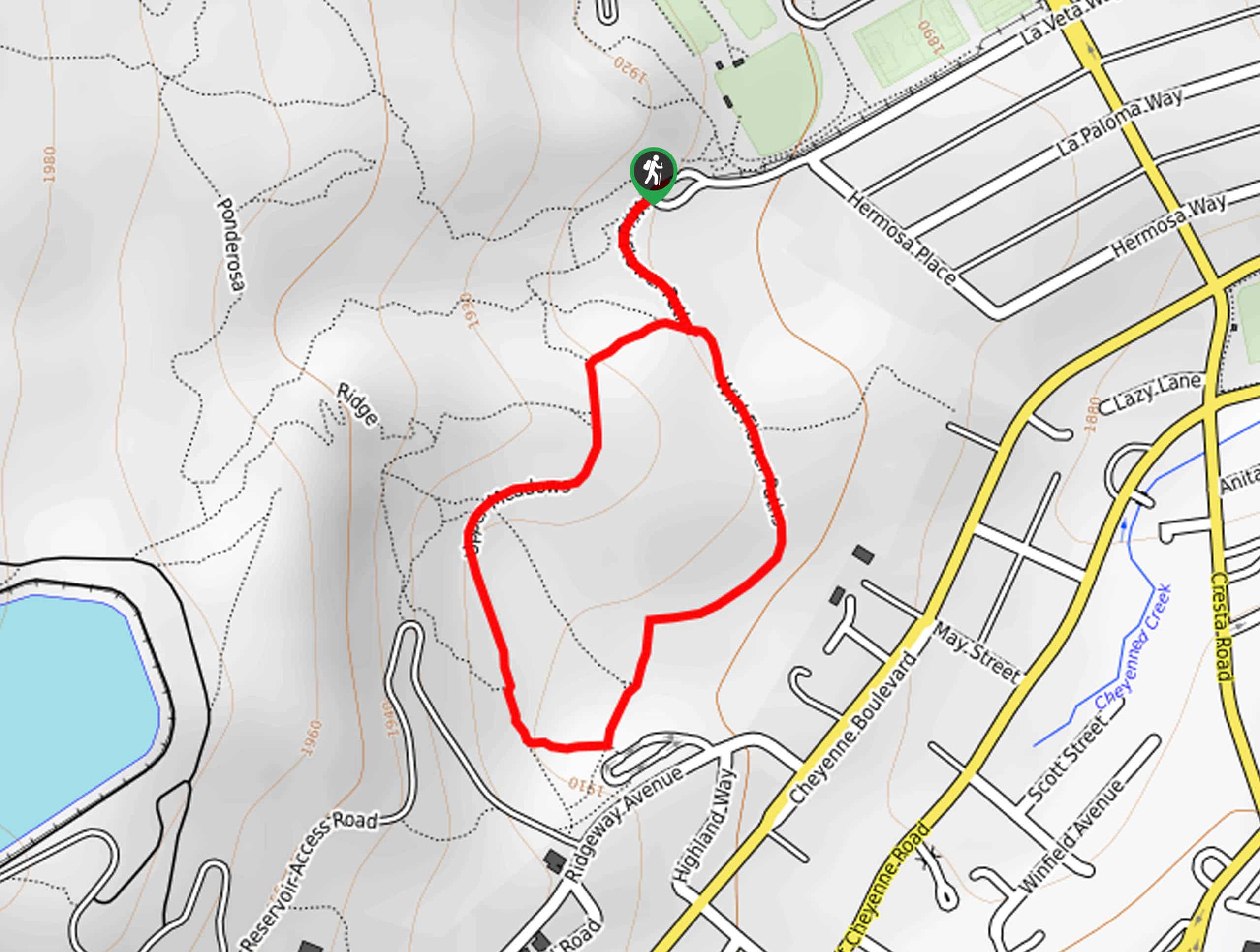
Stephanie’s Trail departs from the Section 16 Trailhead off the Gold Camp Road in the Bear Creek Cañon Open Space.

About
| Backcountry Campground | No |
| When to do | Year-round |
| Pets allowed | Yes - On Leash |
| Family friendly | Yes |
| Route Signage | Average |
| Crowd Levels | Moderate |
| Route Type | Out and back |
Stephanie’s Trail
Elevation Graph
Weather
Stephanie’s Trail Description
If you seek a quick fix of fresh air, then Stephanie’s Trail is a great choice. This short trek travels past a few buildings before dipping below the timberline and opening to a luxuriant meadow. Note sections of this route are rocky, thus can be dangerously slippery after rainfall! Wear sturdy footwear and mind your footing on the uneven terrain!
Embark on your adventure along Stephanie’s Trail from the Section 16 Trailhead. From here, track southwest through meadowlands, past a few buildings, and over Bear Creek Road. After crossing the road, you will travel across a footbridge over Bear Creek. Next, the trail will gradually climb through a mixed pine forest before opening to a lush meadow.
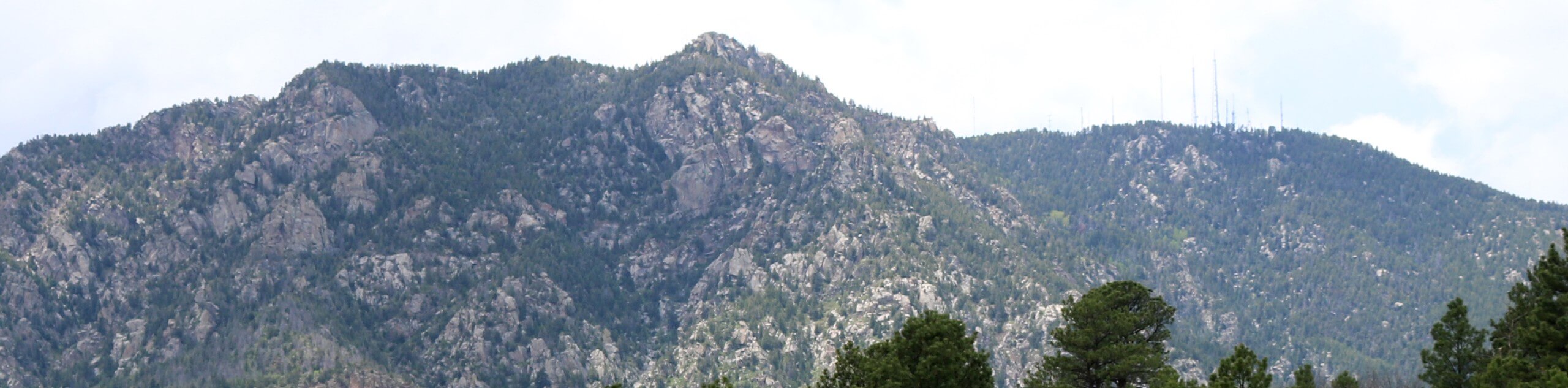
You will be granted an awesome view of the verdant foothills from the meadow. Revel in the beauty of the Colorado wilderness, and you will soon reach the trail’s end. To get back to the trailhead, retrace your footing along the path back to the trailhead.
Similar hikes to the Stephanie’s Trail hike
Zook Loop
The Zook Loop is an awesome family-friendly nature walk that exhibits breathtaking panoramas of Cheyenne Mountain looming above. Explore the…
Wildflower Path and Upper Meadows Loop
The Wildflower Path and Upper Meadows Loop is a lovely nature walk through the Stratton Open Space. Immerse yourself in…
Ute and Niobrara Loop Trail
The Ute and Niobrara Loop Trail is an awesome adventure in the Garden of the Gods. Traveling along the outskirts…
Comments