
South Suburban Reservoir Loop
View Photos
South Suburban Reservoir Loop
Difficulty Rating:
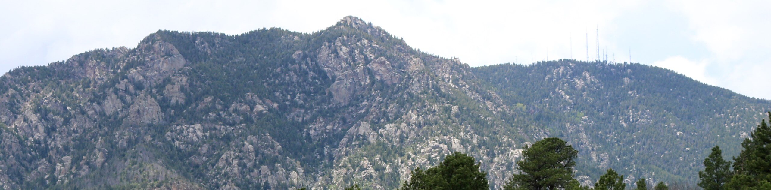
The South Suburban Reservoir Loop is a short, but scenic adventure not far from Colorado Springs’ downtown. This epic nature walk which is so conveniently located offers dumbfounding views of North Cheyenne Canyon, the rolling foothills, not to mention the shimmering reservoir. We absolutely love this trek, and we know you will too.
Getting there
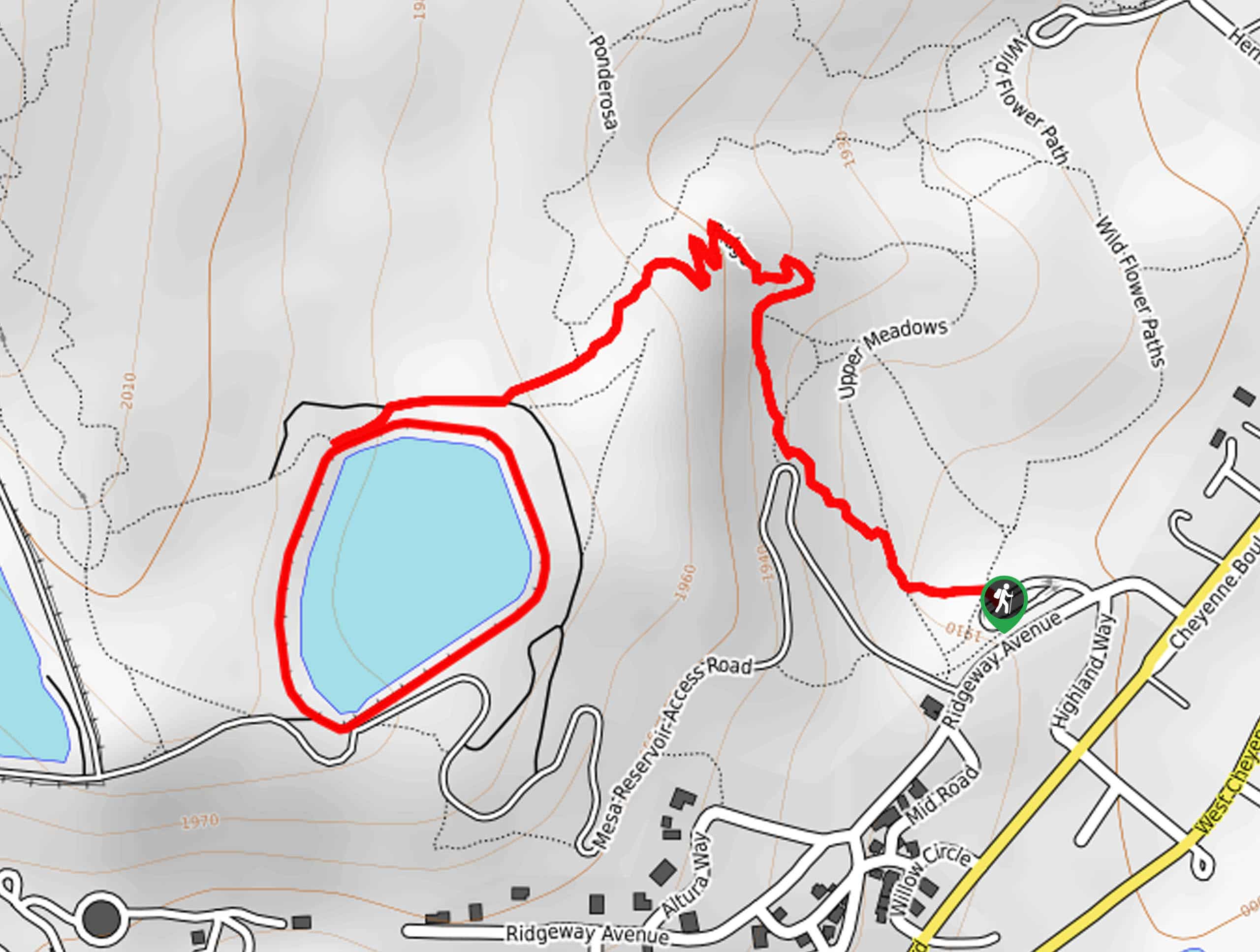
The South Suburban Reservoir Loop departs from the Ridgeway Trailhead off Ridgeway Avenue.

About
| Backcountry Campground | No |
| When to do | Year-round |
| Pets allowed | Yes - On Leash |
| Family friendly | Yes |
| Route Signage | Poor |
| Crowd Levels | Moderate |
| Route Type | Lollipop |
South Suburban Reservoir Loop
Elevation Graph
Weather
South Suburban Reservoir Loop Description
The South Suburban Reservoir Loop is a must in the Colorado Springs area. Due to its proximity to the city, this trek is a great spontaneous nature walk that won’t take up too much time. Travel through expansive meadowlands that reveal epic panoramas of the Front Range foothills and through mixed pines. If you have a pup, they will love swimming in the glittering waters of the reservoir! Note this path is shared with mountain bikers, so keep an ear out for passers-by! Additionally, the paths are not well signposted, so consider using the trail GPS.
Your trek along the South Suburban Reservoir Loop begins at the Ridgeway Trailhead. From here, head northwest along the Upper Meadows Loop Trail. Follow this path through the luxuriant meadowlands, keeping an eye out for grazing deer as you meander. Soon you will reach an intersection with the Ridge and Stratton Link Trail. Veer left here along the Stratton Link Trail, tracking west. Soon you will quickly walk the Ponderosa Trail before connecting with the South Suburban Lower Loop Trail. Continue west, then take a sharp left onto the South Suburban Upper Loop Trail.
The South Suburban Upper Loop Trail will guide you counterclockwise along the shoreline of the shimmering reservoir. Enjoy the vistas as you wander along the banks, and you will eventually complete the loop. After hiking around the reservoir, simply backtrack along the routes all the way back to the trailhead. If you need to, use the trail GPS, but even if you diverge from the exact passage you took, there are plenty of other trails nearby that will get you back to the parking lot.
Similar hikes to the South Suburban Reservoir Loop hike
Zook Loop
The Zook Loop is an awesome family-friendly nature walk that exhibits breathtaking panoramas of Cheyenne Mountain looming above. Explore the…
Wildflower Path and Upper Meadows Loop
The Wildflower Path and Upper Meadows Loop is a lovely nature walk through the Stratton Open Space. Immerse yourself in…

Ute and Niobrara Loop Trail
The Ute and Niobrara Loop Trail is an awesome adventure in the Garden of the Gods. Traveling along the outskirts…
Comments