
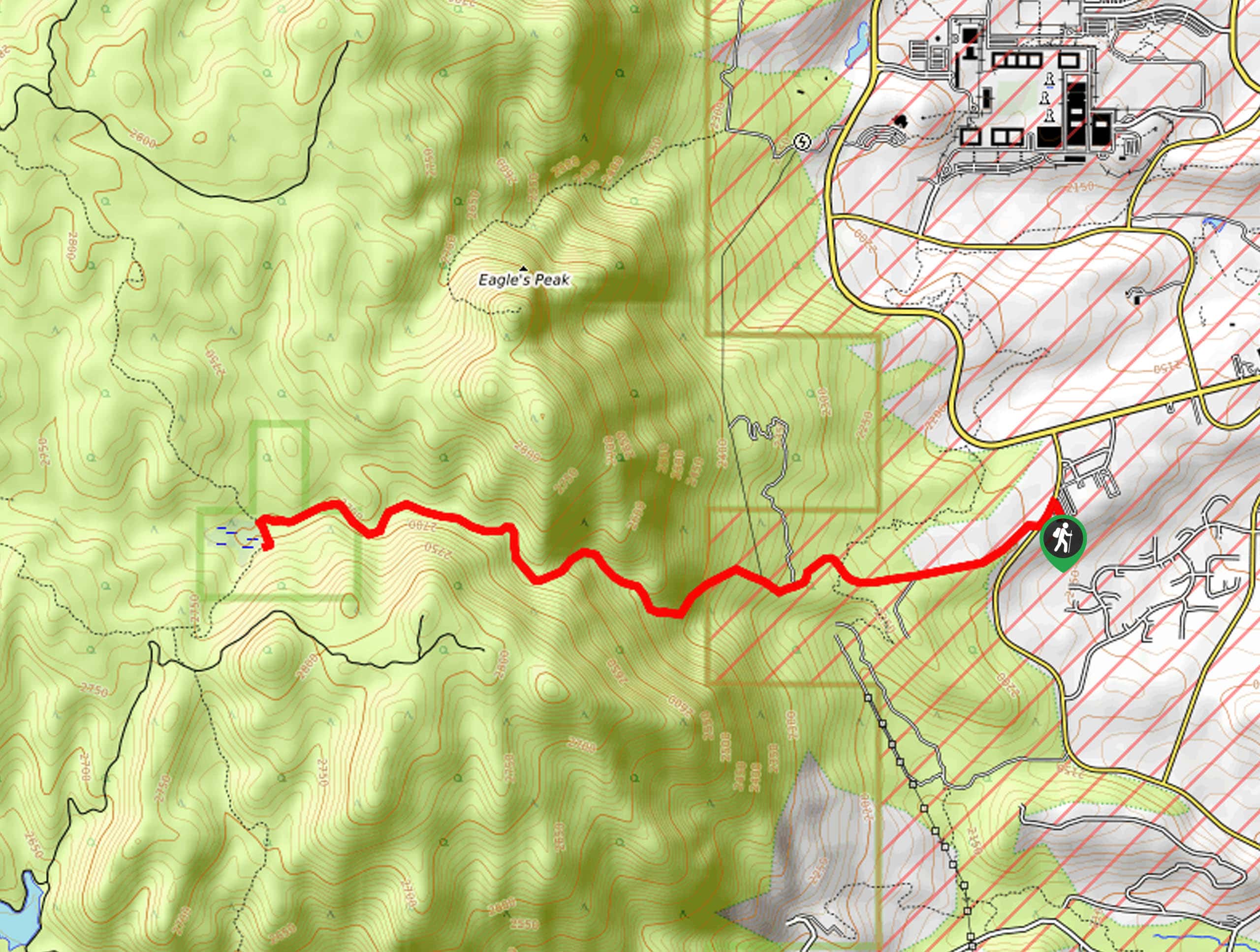
Stanley Canyon Trail
View Photos
Stanley Canyon Trail
Difficulty Rating:
The Stanley Canyon Trail is an amazing adventure that travels up through woodlands and granite outcroppings up to the dried reservoir. Climb through the serrated canyon through mixed pine forests and golden aspen glades.
Getting there
The Stanley Canyon Trail departs from the trailhead off Pine Drive.

About
| Backcountry Campground | No |
| When to do | May-October |
| Pets allowed | Yes - On Leash |
| Family friendly | Older Children only |
| Route Signage | Average |
| Crowd Levels | High |
| Route Type | Out and back |
Stanley Canyon Trail
Elevation Graph
Weather
Stanley Canyon Trail Description
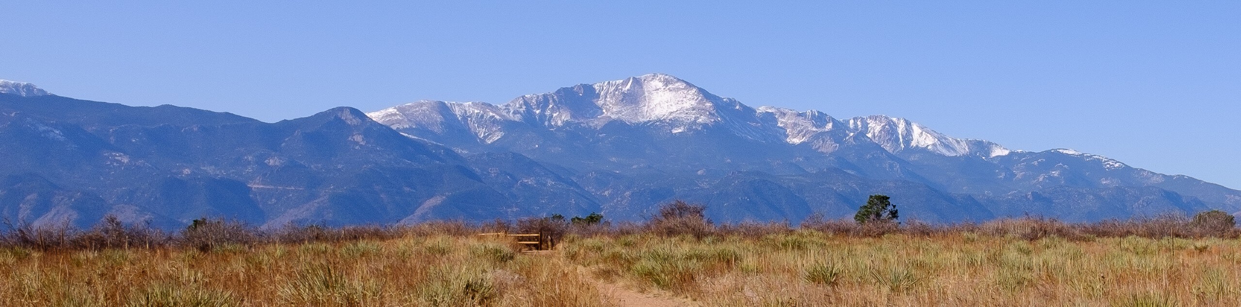
The Stanley Canyon Trail is an exciting adventure into the Front Range foothills. You will begin to climb up the rocky ridge from the flatlands, which boasts demanding views of the plains and the base below. Located in the bounds of the US Airforce Academy, the area and trail are subject to sporadic closures, and visitors may have to undergo security screening. We suggest bringing a piece of identification in case you get stopped! Once you get to the trailhead and parking lot, you will begin your hike. The terrain is extremely rocky, proving difficult and dangerous after rainfall and in the winter months. Mind your footing and wear microspikes in the cold season.
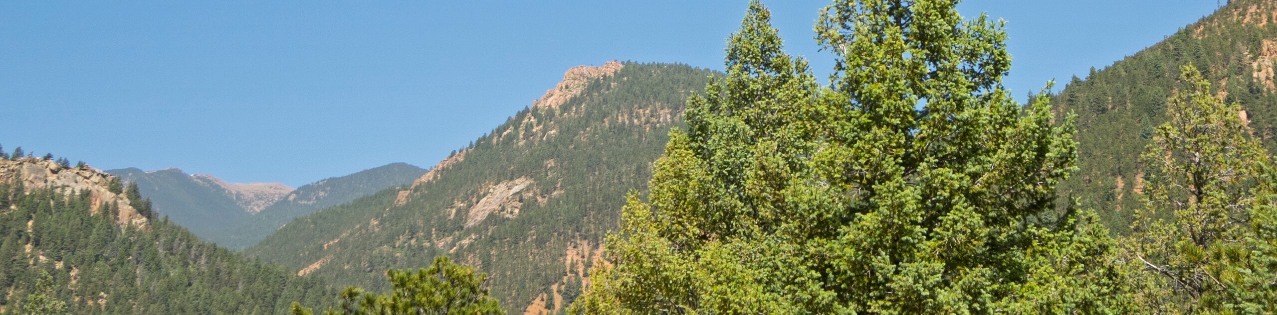
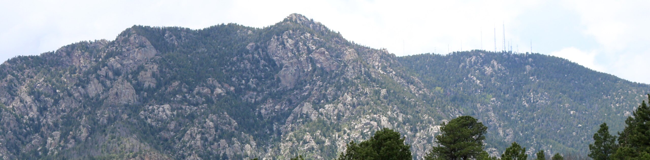
The Stanley Canyon Hike is an amazingly beautiful adventure, even without water in the reservoir. The Stanley Canyon gashes the steep cliff that stretches the length of Colorado Springs to the west of the Airforce Academy. The serrated canyon’s beauty is unparalleled. As you ascend the corridor bounded by granite walls and mixed pine forest, you will be granted awe-inspiring vistas of the cityscape below. Though this trek is open year-round, we suggest a summer or autumn excursion when the foliage is lush and the terrain is manageable! Make sure to charge your camera; the picturesque setting demands plenty of photos!
Embark on your journey along the Stanley Reservoir from the parking lot off Pine Drive. From here, track Road 411 southwest through the meadowlands and up to the Stanley Canyon Trailhead. Departing from the trailhead, the Stanley Canyon Trail ascends the granite outcropping through mixed pine forests. Soon after you depart from the trailhead, the path will clear, and you will be granted an amazing view of the US Air Force Academy and Colorado Springs in the east. After reveling in the vista, continue climbing through the sparsely shaded canyon.
Now more vertiginous and technical, the terrain demands some concentration and agile footing. Enjoy the thrill of scrambling up the gulch. After navigating the vertiginous section of the route, the path will open into a more exposed section—don’t forget to keep an eye out for longhorn sheep as you trek! From here, enjoy the sights of the canyon below before continuing your ascent to the reservoir. Soon you will reach the reservoir, which is currently dried and meadow-cloaked, but the clearing has become an ideal habitat for bunnies! Rest, rehydrate and explore the dam. Retrace your footing down the valley back to the trailhead and parking lot when you are ready.
Trail Highlights
Stanley Reservoir
The Stanley Reservoir was water where the Stanley Canyon Trail culminates. Located to the west of the United States Air Force Academy, the dam’s security became questionable. A few years ago, the Colorado Springs Utilities Company drained the reservoir after several attempts to stabilize the dam to safeguard the air force below. Though there are no plans to restore the dam and reservoir, the refill of the basin is not out of the question just yet. Although there is no shimmering reservoir at the trail’s end, the scenic climb to the now meadow-cloaked basin is well worth the effort.
Frequently Asked Questions
How long is the Stanley Canyon Trail?
The Stanley Canyon Trail is a 5.8mi out-and-back hike.
Is the Stanley Canyon Trail open?
Yes, the Stanley Canyon Trail remains open even though the reservoir is drained.
Insider Hints
Be mindful of your footing, sections are very rocky and often result in rolled ankles.
Keep an eye out for bighorn sheep!
Trekking in the winter is dangerous, be mindful of ice formations and strap on some microspikes.
Similar hikes to the Stanley Canyon Trail hike
Three Peaks Loop
Seeking an exciting adventure near Colorado Springs? If so, then we have the perfect hike for you—the Three Peaks Loop.…
Templeton and Mesa Loop Trail
The Templeton and Mesa Loop Trail is an awesome route through Palmer Park. Adventure along paths lined with immense granite…
Talon and Sundance Loop Trail
At the base of Cheyenne Mountain, you will find incredible hiking routes, including the Talon and Sundance Loop. This amazing…
Comments