
Mount Rosa Trail
View Photos
Mount Rosa Trail
Difficulty Rating:
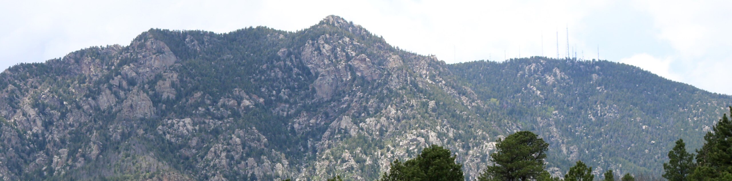
The Mount Rosa Trail is an unforgettable adventure near Colorado Springs. Truly one of, if not the most scenic ascents in the area, this trek reveals breathtaking alpine views. This is one of our favorite hikes, and we think it could be one of yours too.
Getting there
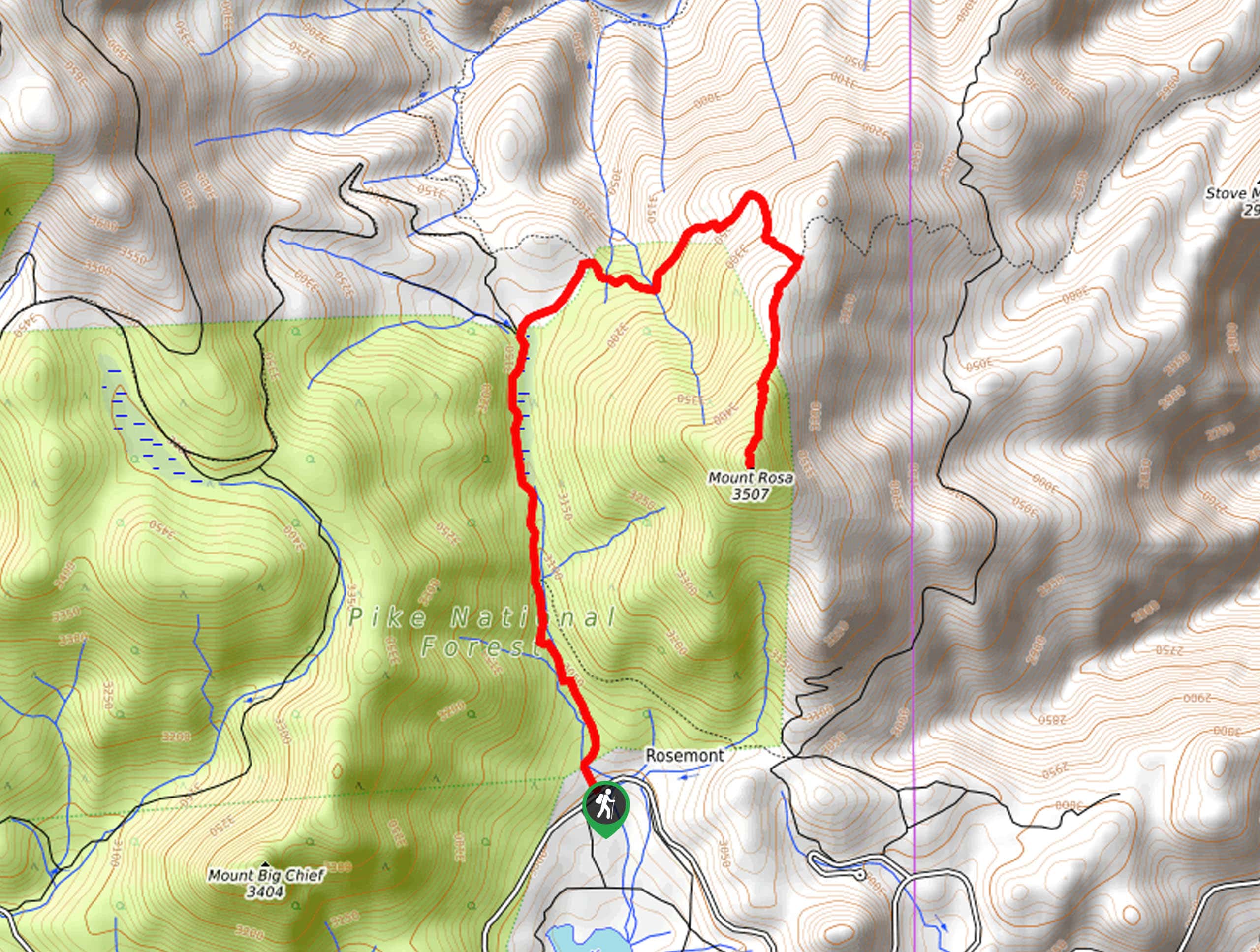
The Mount Rosa Trailhead is located off Gold Camp Road.

About
| Backcountry Campground | No |
| When to do | Year-round |
| Pets allowed | Yes - On Leash |
| Family friendly | Older Children only |
| Route Signage | Average |
| Crowd Levels | Moderate |
| Route Type | Out and back |
Mount Rosa Trail
Elevation Graph
Weather
Mount Rosa Trail Description
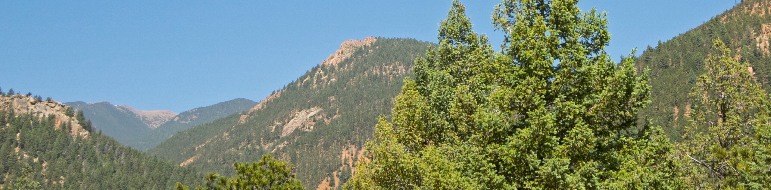
The Mount Rosa Hike is an unassumingly beautiful adventure from the second you leave the trailhead all the way to the summit. Even the drive to the trailhead is picturesque! Traveling through mixed pine forests lined with granite outcroppings and exposing mountain views, there is no shortage of scenery to keep you motivated. As you near the summit, the terrain becomes increasingly rocky, so mind your footing! Additionally, we suggest wearing layers as insurance against chilly conditions at the exposed peak.
Embark on your adventure along the Mount Rosa Trail from the trailhead off Gold Camp Road. From here, track Forest Road 379 north. Soon after departing, you will confront an intersection. Here keep left, hiking up the forested gulch along the East Beaver Creek. At the next junction, keep right, and you will be diverted onto Nelson’s Trail. Hike the increasingly exposed path east to another trail split. At this point, take a sharp right onto the Mount Rosa Trail. Follow this route south up to the peak.
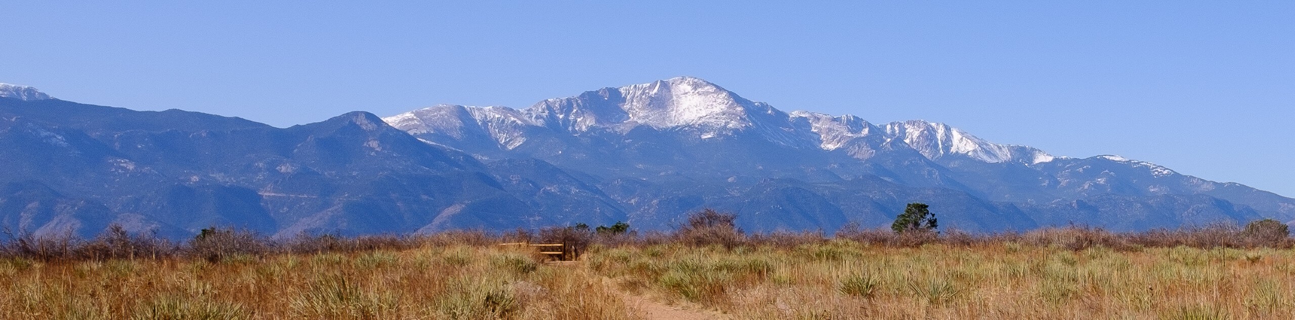
From the exposed summit revel in the panoramic vistas of the mountainous landscape. Notice the snow-capped mountains that line the horizon and the verdant peaks of the Front Range foothills. Notice Pikes Peak in the north peeking behind Almagre Mountain and the city in the east. After taking the time to admire the grandeur of the surrounding peaks, begin your descent by retracing your footing along the path back to the trailhead.
Similar hikes to the Mount Rosa Trail hike
Three Peaks Loop
Seeking an exciting adventure near Colorado Springs? If so, then we have the perfect hike for you—the Three Peaks Loop.…
Templeton and Mesa Loop Trail
The Templeton and Mesa Loop Trail is an awesome route through Palmer Park. Adventure along paths lined with immense granite…
Talon and Sundance Loop Trail
At the base of Cheyenne Mountain, you will find incredible hiking routes, including the Talon and Sundance Loop. This amazing…
Comments