Manitou Incline Trail
View Photos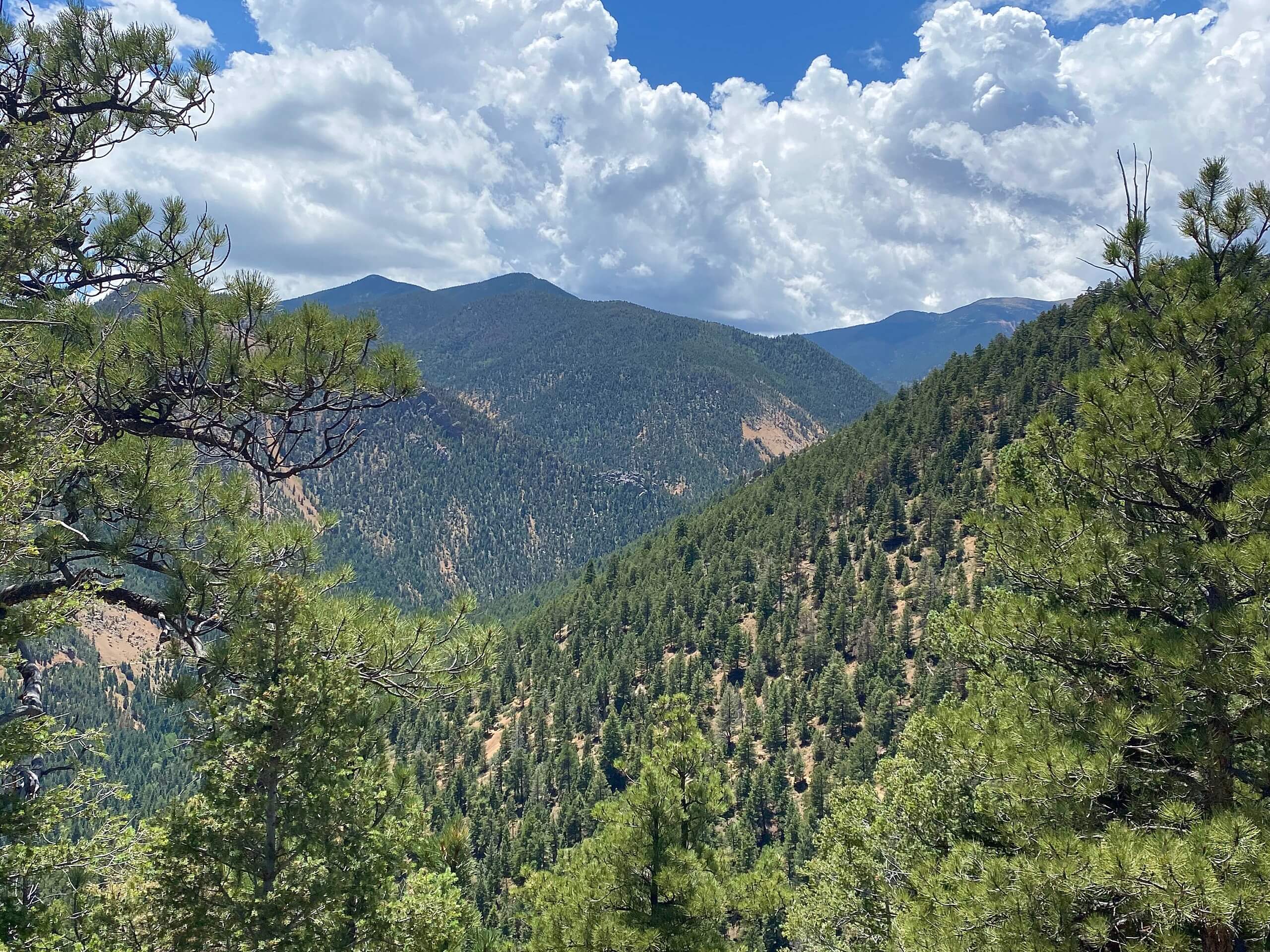
Manitou Incline Trail
Difficulty Rating:
The Manitou Incline Trail is one of the most arduous, and most popular trails in Colorado. A state littered with impressive 14ers, the 2768 steps up 1969ft of elevation prove to be one of the most technical and demanding hikes in the area. Reserved for intrepid and athletic adventurers, this trek is often ventured by Olympic athletes, firefighters, and military. Though realizable by the average joe, this amazing climb is not for the faint of heart.
Getting there
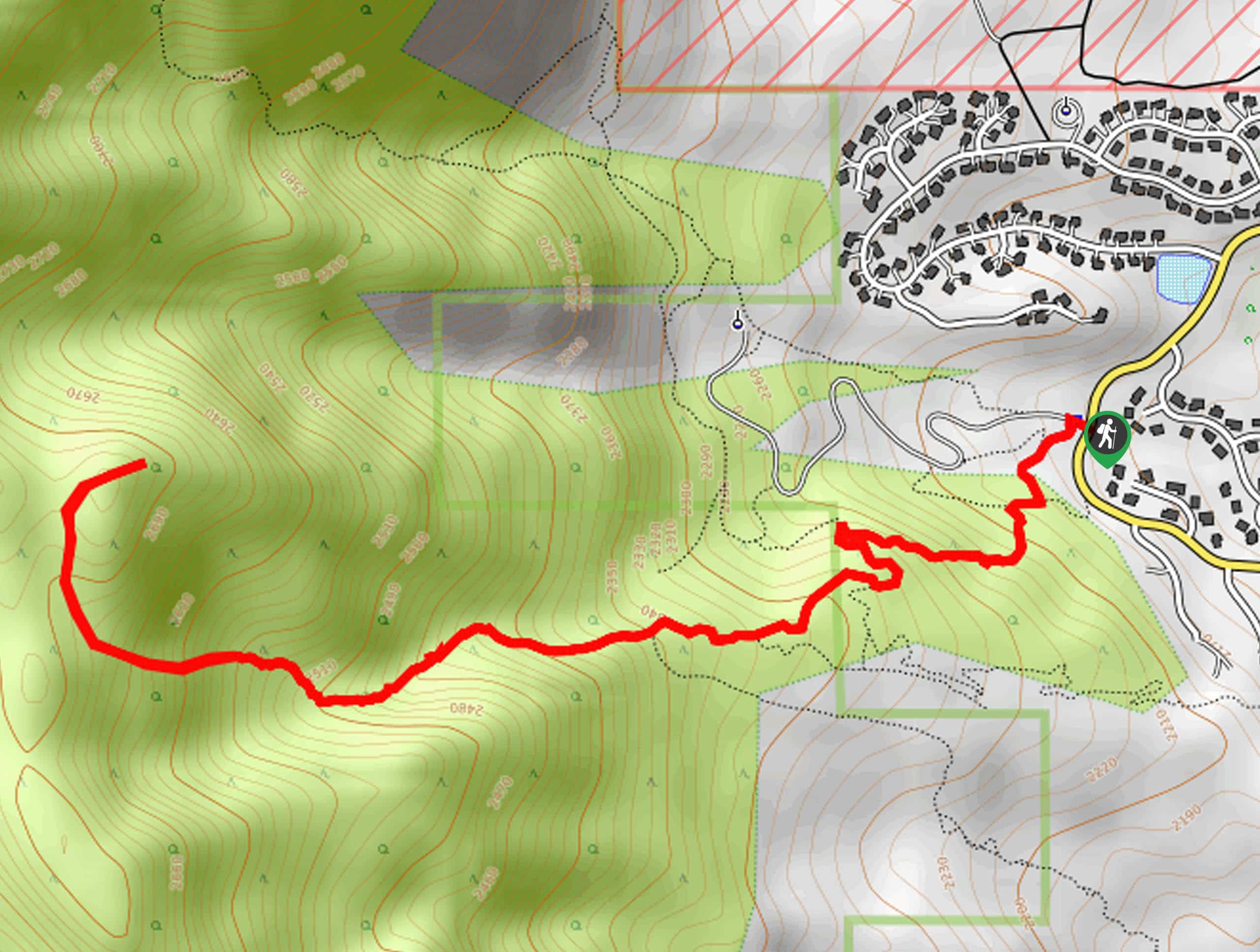
The Manitou Incline Trail is located off Ruxton Avenue.

About
| Backcountry Campground | No |
| When to do | May-October |
| Pets allowed | No |
| Family friendly | Older Children only |
| Route Signage | Good |
| Crowd Levels | Extreme |
| Route Type | Circuit |
Manitou Incline Trail
Elevation Graph
Weather
Manitou Incline Trail Description
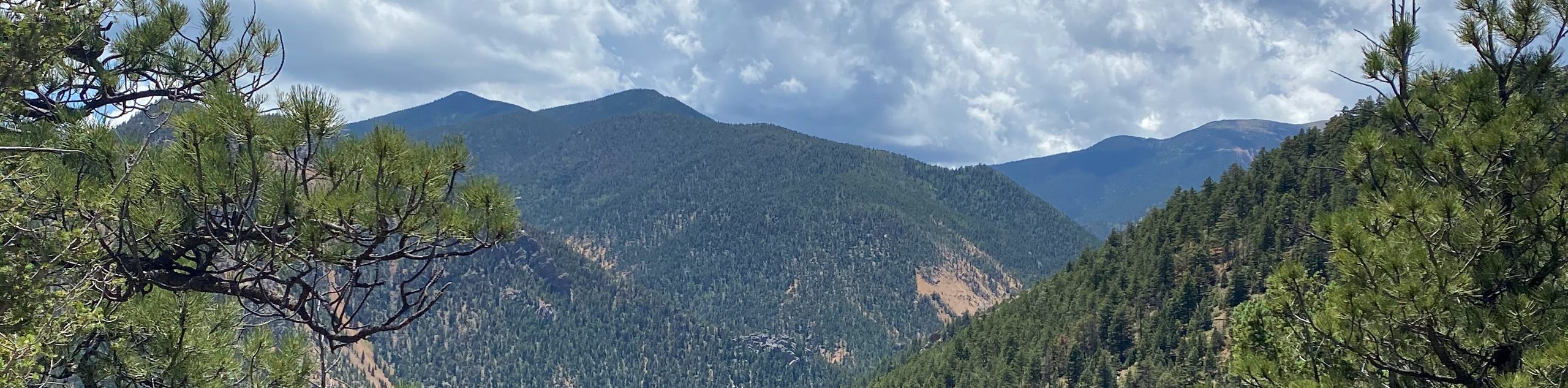
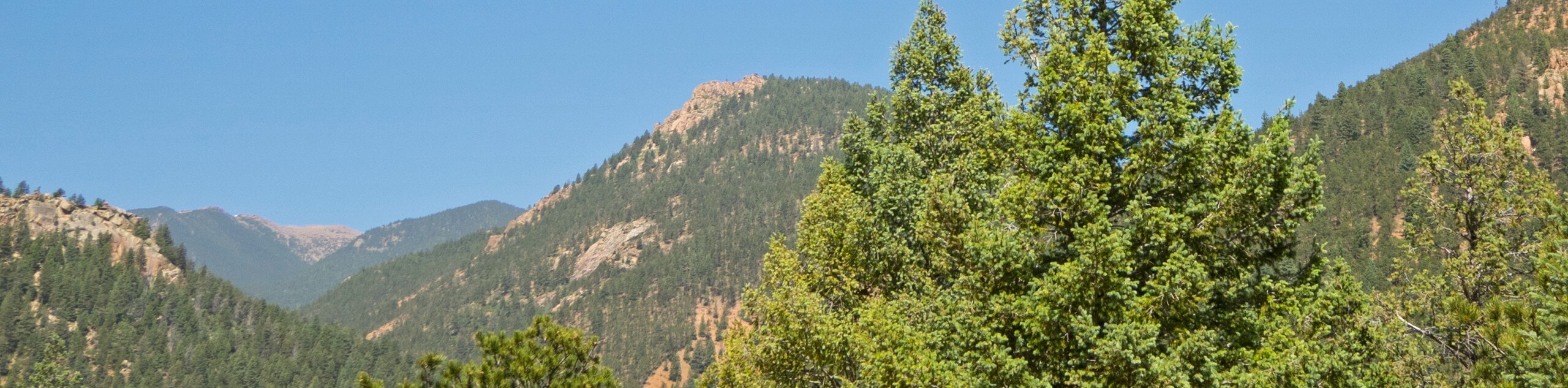
Many consider the Manitou Incline Trail a rite of passage when visiting Colorado. This amazing yet demanding climb reveals awe-inspiring scenery as hikers climb up the historic cable car route. Reserved for adventurers, this trek demands stamina and perseverance. Traveling over 1969ft in only a mere 3.7mi, this vertigo-inducing climb can be dangerous. For this reason, as well as the crowds, descending the Incline Trail is strongly discouraged. Instead, descend the Barr Trail, navigating several switchbacks down the slope. Note pups are prohibited on this trek as the terrain and elevation prove too taxing on their bodies. Acclimatization to the area’s altitude is necessary before climbing the Manitou Incline, and make sure you secure a hiking time!
To avoid overcrowding, a reservation is needed to adventure the Manitou Incline Trail— make sure to secure your spot online. Though there is limited paid parking available at the trailhead, ample paid parking is available at Iron Springs Chateau Parking and Hiawatha Gardens Parking Lot. Those who park in the Hiawatha Gardens Parking Lot can take the free shuttle to the Manitou Incline. Don’t forget to bring your reservation confirmation and parking receipt to access the hiking trail—if you fail to remember these, you will likely be out of luck!
Once you are all checked in, acclimatized to the altitude, and your water bottles are filled, you are set to begin your hike along the Manitou Incline Trail. From the trailhead, you will be granted a jaw-dropping scene: the 2,000+ stairs climbing straight up the slope. Don’t let the vertigo-inducing sight discourage you; the views and sentiment of personal achievement from the top are well worth the exhaustion. Being your ascent up the abrupt staircase, imagining those enjoying the same sights from the comfort of a cable car years ago. Mind your footing as you trek, and you will eventually reach the Bailout Point. If you are exhausted, light-headed, or feeling altitude sick, you are strongly encouraged to end your ascent here.
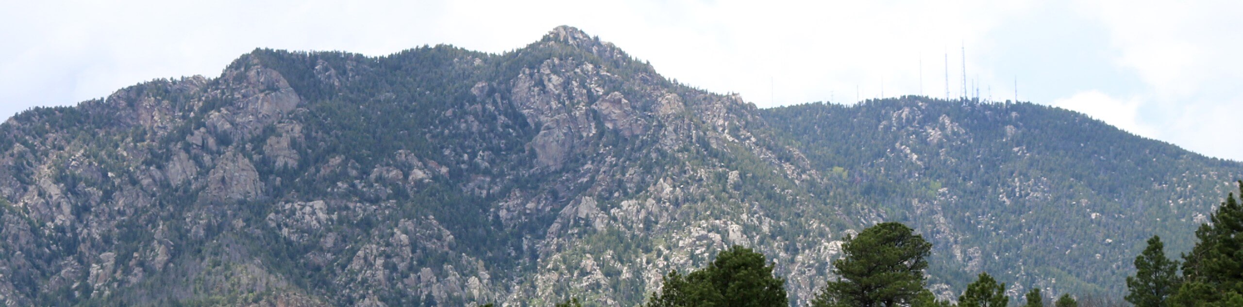
If you feel confident, continue ascending the vertiginous staircase up the old cable car route. Eventually, you will reach the end of the track—this warrants a pat on the back. Take a moment and look down the corridor of stairs; you won’t believe the sheerness of the climb you just conquered! Rehydrate, rest, and revel in the sweeping Front Range views. Notice Pikes Peak looming in the west past Rocky Mountain and Mount Manitou. Take the Barr Trail east when you are ready to begin your descent. Carefully navigate the seemingly never-ending switchbacks down to the base of the staircase, marking the end of your exciting adventure. Now is the time to go grab a cool beverage—you deserve it!
Trail Highlights
Manitou Incline
Now an extremely popular hiking trail, the Manitou Incline Trail was originally a cable car route. Located on the eastern slope of Pikes Peak, the cable car was built to carry products and materials for the pipeline on the summit of the famous Colorado 14er. Once the pipeline atop Pikes Peak was finished, the cable car was converted into a tourist attraction—drawing curious explorers from all around excited to revel in the sweeping views from the top.
Unfortunately, the trail was damaged by a rockfall in the 1990s, so the attraction was decommissioned and deconstructed, leaving only the tracks which form a vertigo-inducing staircase. Now one of the most demanding hikes in the state, the Manitou Incline attracts intrepid adventurers of all sorts seeking a personal challenge. This trek is no easy feat, even for the most athletic people, but the views from the top prove worth the sweat!
Frequently Asked Questions
How many steps are there on the Manitou Incline Trail?
There are 2,768 steps to conquer on the Manitou Incline Trail.
Can you fall down the Manitou Incline?
Yes, of course you can fall down the Manitou Incline, and it is extremely dangerous, so mind your footing.
Is it free to hike the Manitou Incline Trail?
Yes, the Manitou Incline Trail is free, but parking is not!
Where can I park for the Manitou Incline Trail?
There are several spots to park as parking at the trailhead is near impossible. There is paid parking at Iron Springs Chateau Parking (444 Ruxton Ave) and Hiawatha Gardens Parking Lot (10 Old Man’s Trail) with a free shuttle to the trailhead.
Is the Manitou Incline Trail hard?
Yes, the Manitou Incline Trail is an extremely difficult and dangerous hike. Make sure you are acclimated to the area’s altitude and only attempt this trek if you are properly conditioned.
Are dogs allowed on the Manitou Incline Trail?
No, dogs are not permitted on the Manitou Incline.
Insider Hints
Parking at the Hiawatha Gardens Parking Lot and take the free shuttle to the Manitou Incline.
Footwear can make or break this experience, so ensure you are wearing comfy and worn-in shoes.
Charge your camera, you need proof you complete this demanding feat.
Pack plenty of water, more than you anticipate needing—trust us.
The exposed terrain warrants extremely hot conditions in the summer, so bring sunscreen and a sun hat to avoid over exposure!
Grab a well-deserved beverage at Colorado Mountain Brewery after your taxing trek!
Similar hikes to the Manitou Incline Trail hike
Three Peaks Loop
Seeking an exciting adventure near Colorado Springs? If so, then we have the perfect hike for you—the Three Peaks Loop.…
Talon and Sundance Loop Trail
At the base of Cheyenne Mountain, you will find incredible hiking routes, including the Talon and Sundance Loop. This amazing…
Red Squirrel to Douglas Fir Trail
The Red Squirrel to Douglas Fir Trail is an awesome adventure located just a short drive north of the city.…
Comments