
Lower Columbine Trail
View Photos
Lower Columbine Trail
Difficulty Rating:
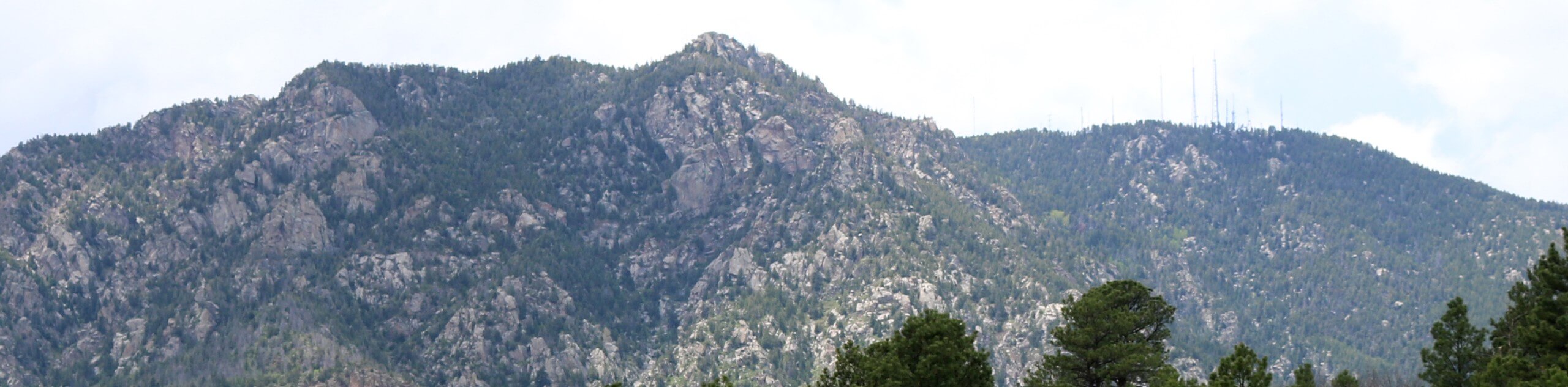
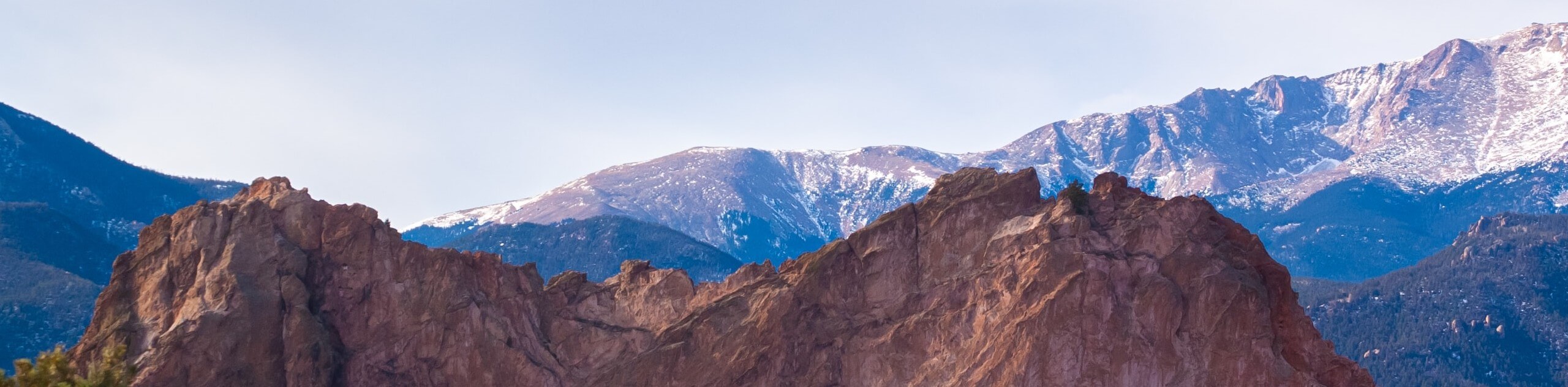
Immerse yourself in nature along the Lower Columbine Trail. This stunning adventure through the North Cheyenne Canyon exhibits sights of craggy granite walls that line the babbling water of North Cheyenne Creek. This epic trek is well worth the detour from Colorado Springs.
Getting there
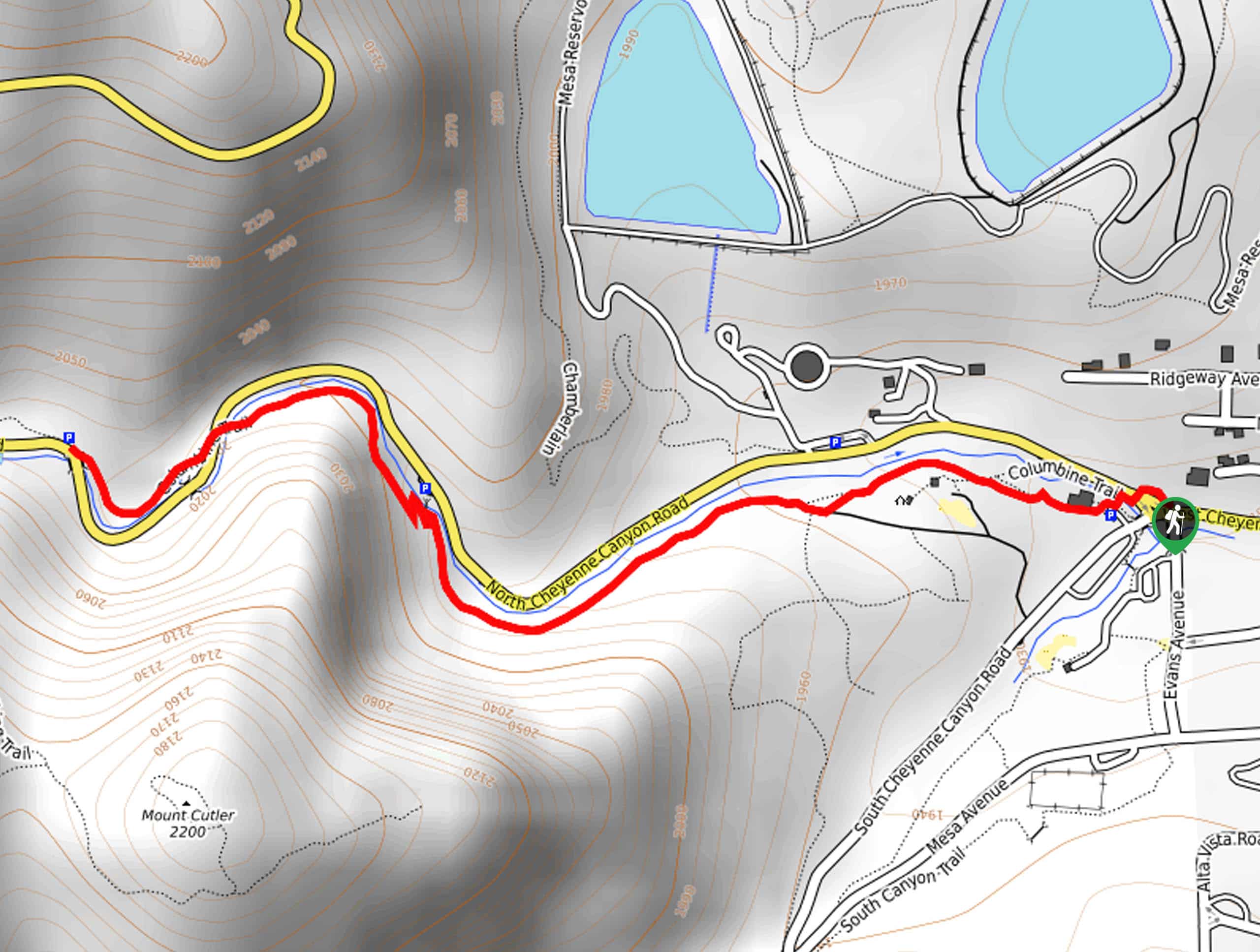
The Lower Columbine Trail departs from the Starsmore Discovery Center off North Cheyenne Canyon Road.

About
| Backcountry Campground | No |
| When to do | Year-round |
| Pets allowed | Yes - On Leash |
| Family friendly | Yes |
| Route Signage | Average |
| Crowd Levels | Extreme |
| Route Type | Out and back |
Lower Columbine Trail
Elevation Graph
Weather
Lower Columbine Trail Description
Delivering unparalleled sceneries, the Lower Columbine Trail is a beautiful family-friendly adventure. Exposing sights of charming cascades, looming bluffs, and verdant vegetation, there is no shortage of distracting scenery along the way. Shared with hikers, mountain bikers, this versatile trek is well-revered. If you are seeking a more secluded adventure, then we suggest arriving early to beat the crowds! Though open year-round, we love an autumn excursion when the foliage is vibrant!
Embark on your hike along the Lower Columbine Trail from the Starsmore Discovery Center. From here, hike through the metal gate behind the center. Now tracking along the Columbine Trail, the path will travel west along the path lined with mixed pines. As you wander, let the sounds of the North Cheyenne Creek lull you into a state of relaxation. As you hike, you will be granted sights of the looming craggy cliffs that line the corridor of the North Cheyenne Canyon.
You will reach the trail’s end once you reach the footbridge over the creek. If you still have some gas left in the tank, then feel free to further explore the Columbine Trail. If not, retrace your footing along the path back to the trailhead.
Similar hikes to the Lower Columbine Trail hike
Zook Loop
The Zook Loop is an awesome family-friendly nature walk that exhibits breathtaking panoramas of Cheyenne Mountain looming above. Explore the…
Wildflower Path and Upper Meadows Loop
The Wildflower Path and Upper Meadows Loop is a lovely nature walk through the Stratton Open Space. Immerse yourself in…
Ute and Niobrara Loop Trail
The Ute and Niobrara Loop Trail is an awesome adventure in the Garden of the Gods. Traveling along the outskirts…
Comments