
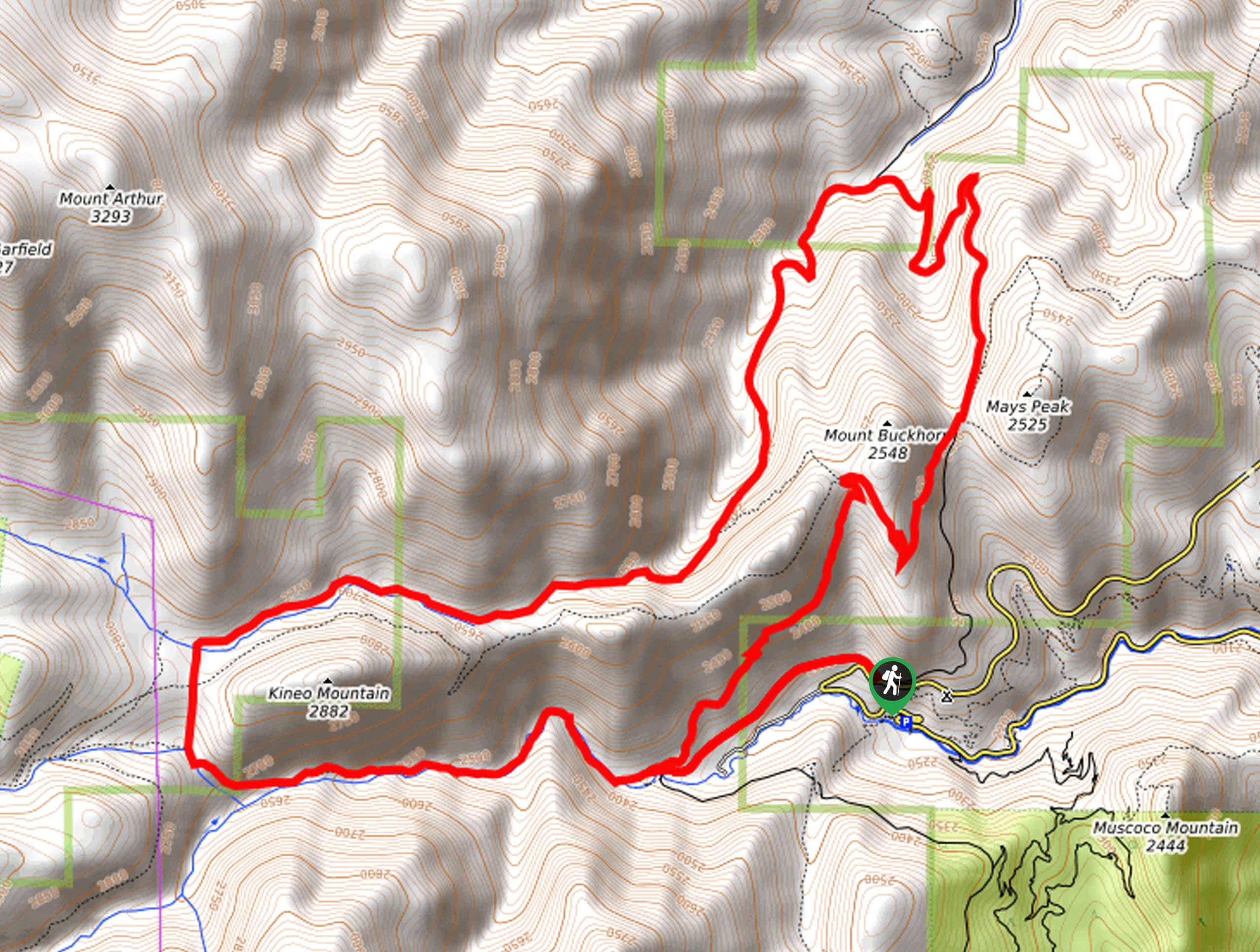
Kineo Mountain and Mount Buckhorn Loop
View Photos
Kineo Mountain and Mount Buckhorn Loop
Difficulty Rating:
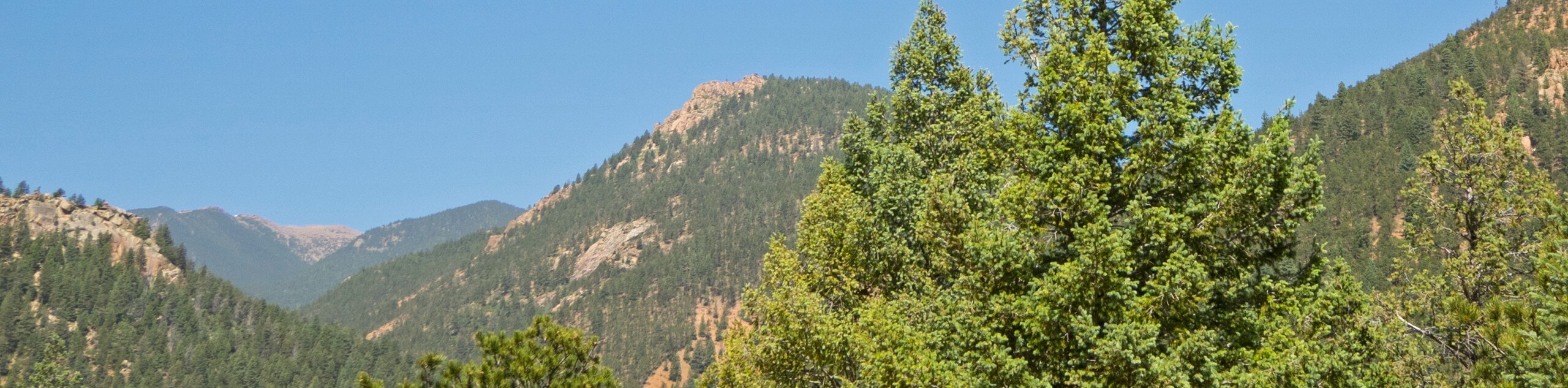
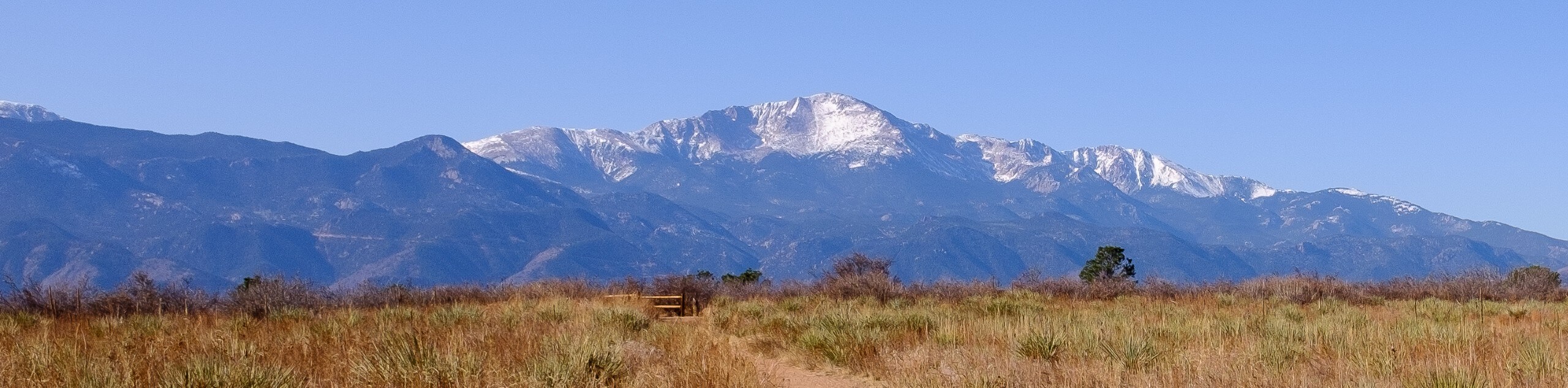
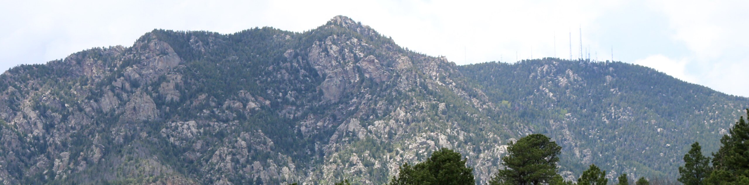
The Kineo Mountain and Mount Buckhorn Loop is arguably one of the most scenic day hikes near Colorado Springs. Explore red rock canyons, mixed pine forestlands, aspen groves, and enjoy epic overlooks of the Front Range foothills and the cityscape below. This trek packs a punch!
Bear Creek Trail/ Trail 666 is closed until 2027 for reclamation of cutthroat trout. Other routes are accessible.
Getting there
The Kineo Mountain and Mount Buckhorn Loop departs from the Gold Camp Trailhead off Gold Camp Road.

About
| Backcountry Campground | No |
| When to do | April-November |
| Pets allowed | Yes - On Leash |
| Family friendly | Older Children only |
| Route Signage | Average |
| Crowd Levels | High |
| Route Type | Lollipop |
Kineo Mountain and Mount Buckhorn Loop
Elevation Graph
Weather
Kineo Mountain and Mount Buckhorn Loop Description
The Kineo Mountain and Mount Buckhorn Loop checks all the boxes, featuring lush woodlands, picturesque creeks, epic canyons, and jaw-dropping overlooks. This amazing adventure is a must add to your Colorado Springs adventure itinerary, just for the views alone, not to mention the kick-butt workout. Connecting some of the most epic trails in the area, you will indulge in all the best scenery! Note that sections of the path are subject to environmental closures to safeguard the area’s flora and fauna, so be sure to check the trailhead!
Embark on your adventure along the Kineo Mountain and Mount Buckhorn Loop from the Gold Camp Trailhead. From here, head west along the Gold Camp Road, past a metal gate, and onto the Seven Bridges Trail, which is signposted as Trail 667. This section of the route will guide you through the North Cheyenne Canyon through the red rock corridor, over seven charming bridges. At the next intersection, turn right onto the North Seven Bridges Spur Trail. Follow this path north to an intersection with Bear Creek Trail/ Trail 666. Turn right here, hiking northeast through Bear Creek Canyon.
At the route’s end, veer right, and you will be diverted onto the High Drive Trail south. Soon you will merge right onto the Captain Jack’s Trail along the southern slope of Mount Buckhorn. At the next junction, turn left, following the Buckhorn Trail back down to Gold Camp Road. From here, keep left and retrace your footing along the path back to the trailhead.
Similar hikes to the Kineo Mountain and Mount Buckhorn Loop hike
Three Peaks Loop
Seeking an exciting adventure near Colorado Springs? If so, then we have the perfect hike for you—the Three Peaks Loop.…
Templeton and Mesa Loop Trail
The Templeton and Mesa Loop Trail is an awesome route through Palmer Park. Adventure along paths lined with immense granite…
Talon and Sundance Loop Trail
At the base of Cheyenne Mountain, you will find incredible hiking routes, including the Talon and Sundance Loop. This amazing…
Comments