
Homestead Trail
View Photos
Homestead Trail
Difficulty Rating:
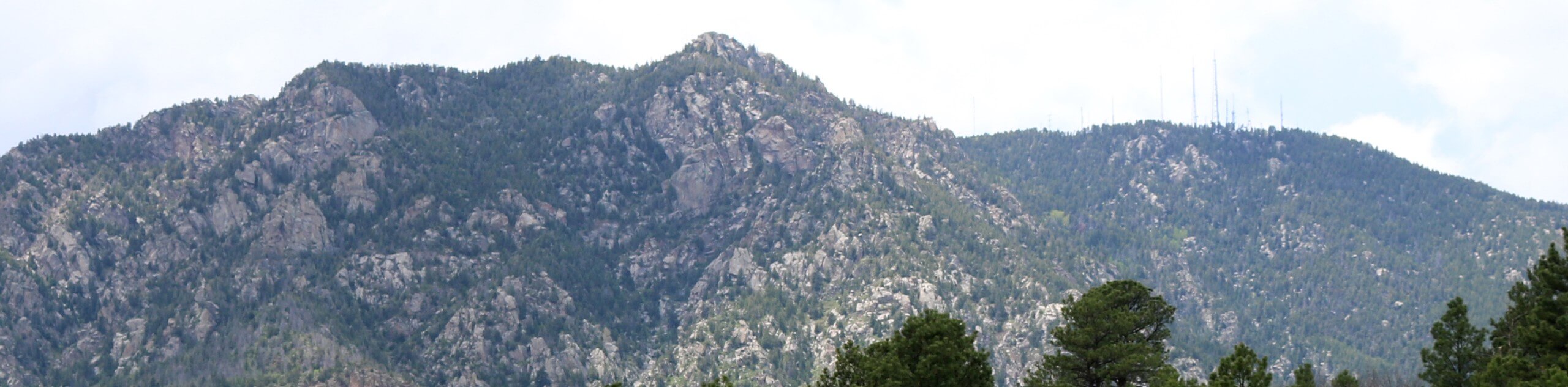
The Homestead Trail is an awesome nature walk in the city center. Let the fresh air fill your lungs and the warm sun hit your face as you wander through the meadows and neighborhoods of Colorado Springs. This trek is an awesome family-friendly nature walk!
Getting there
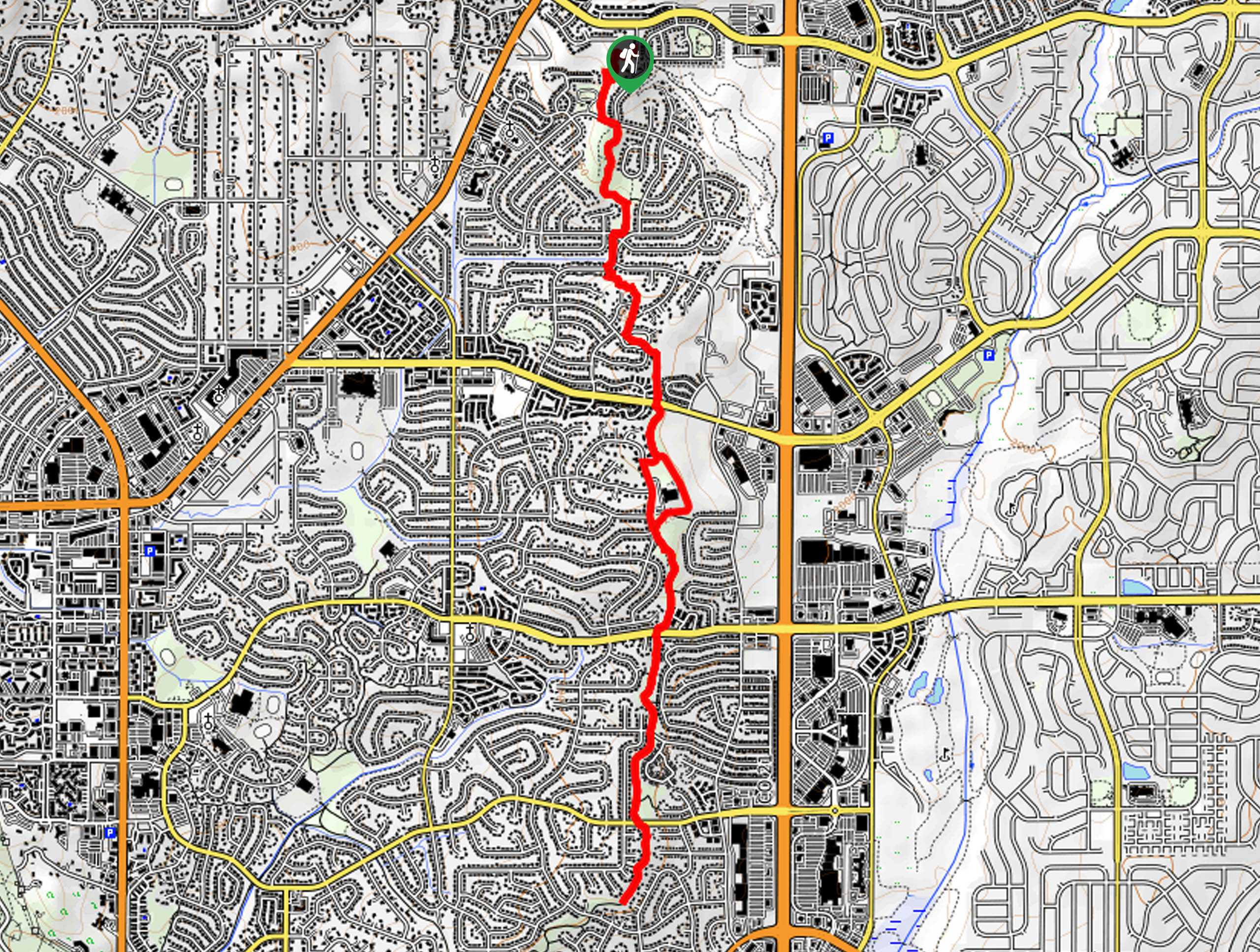
The Homestead Trail departs from the trailhead off Stetson Hills Boulevard.

About
| Backcountry Campground | No |
| When to do | Year-round |
| Pets allowed | No |
| Family friendly | Yes |
| Route Signage | Average |
| Crowd Levels | Moderate |
| Route Type | Out and back |
Homestead Trail
Elevation Graph
Weather
Homestead Trail Description
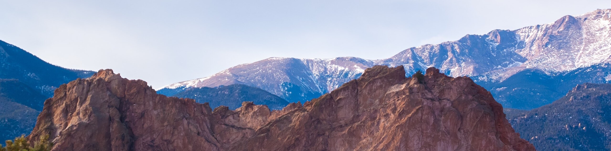
The Homestead Hike is a great route for your daily mental health walks. Boasting epic views of the Front Range foothills that bound the city while wandering through the lush meadowland. Abundant with scenery, this well-maintained urban trail can be biked or hiked. Not to mention, this out-and-back route can be customized to your liking; if you are tired, simply cut it short and turn around! Note this path can be unbearably hot in the summer months, so wear sun protection!
Departing from the trailhead off Stetson Hills Boulevard, the Homestead Trail travels south through Old Farm Park. As you meander through the meadowlands, be sure to keep an eye out for grazing deer! Eventually, the path will cross over Iron Horse Trail before entering the Homestead Trail Park. Follow the meadow-cloaked path south, all the way to Villa Loma Park.
You can choose to continue further along the Homestead Trail, but if you are tired, simply turn around and backtrack along the path to the trailhead.
Similar hikes to the Homestead Trail hike
Zook Loop
The Zook Loop is an awesome family-friendly nature walk that exhibits breathtaking panoramas of Cheyenne Mountain looming above. Explore the…
Wildflower Path and Upper Meadows Loop
The Wildflower Path and Upper Meadows Loop is a lovely nature walk through the Stratton Open Space. Immerse yourself in…
Ute and Niobrara Loop Trail
The Ute and Niobrara Loop Trail is an awesome adventure in the Garden of the Gods. Traveling along the outskirts…
Comments