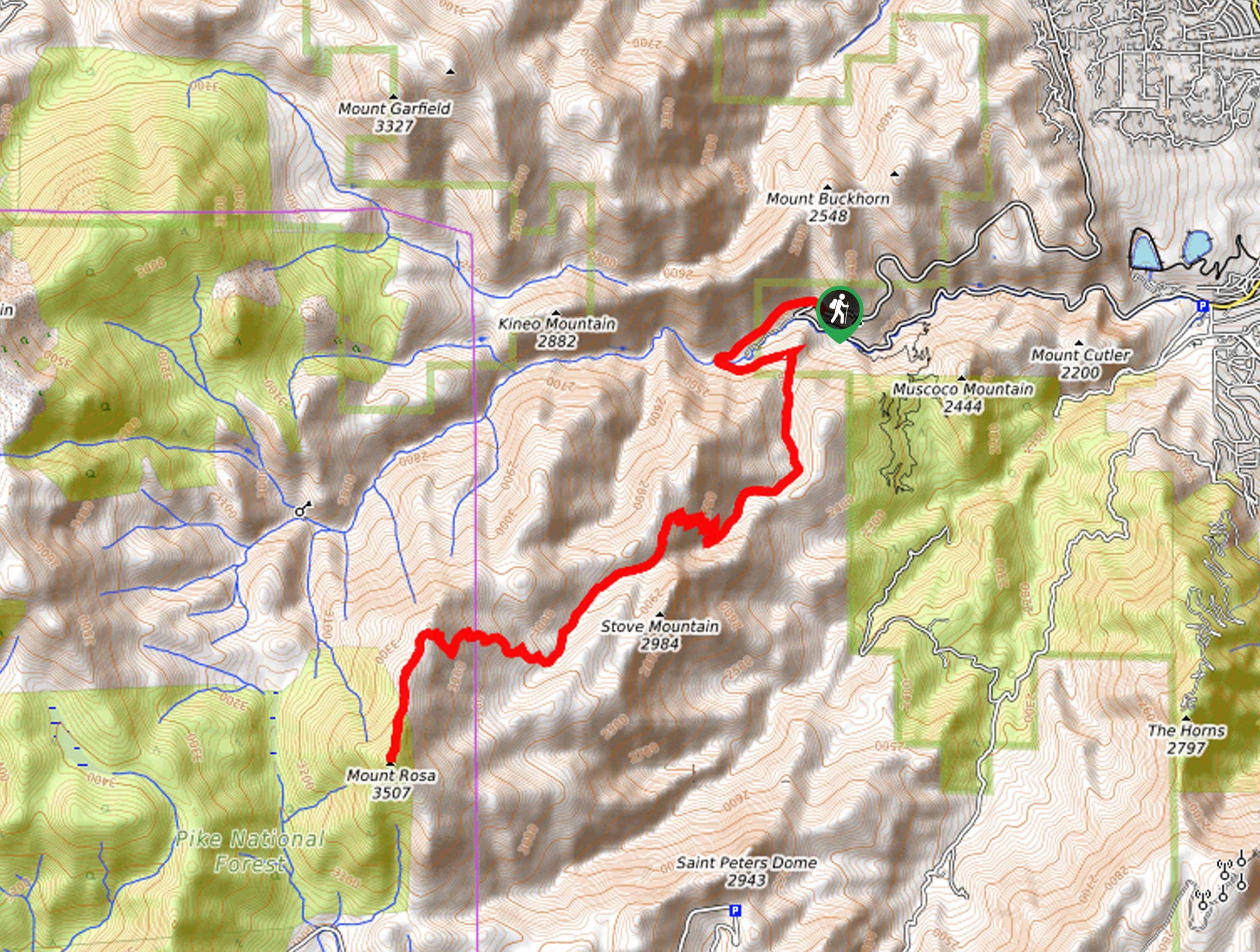
Cheyenne Canyon to Mount Rosa Hike
View Photos
Cheyenne Canyon to Mount Rosa Hike
Difficulty Rating:
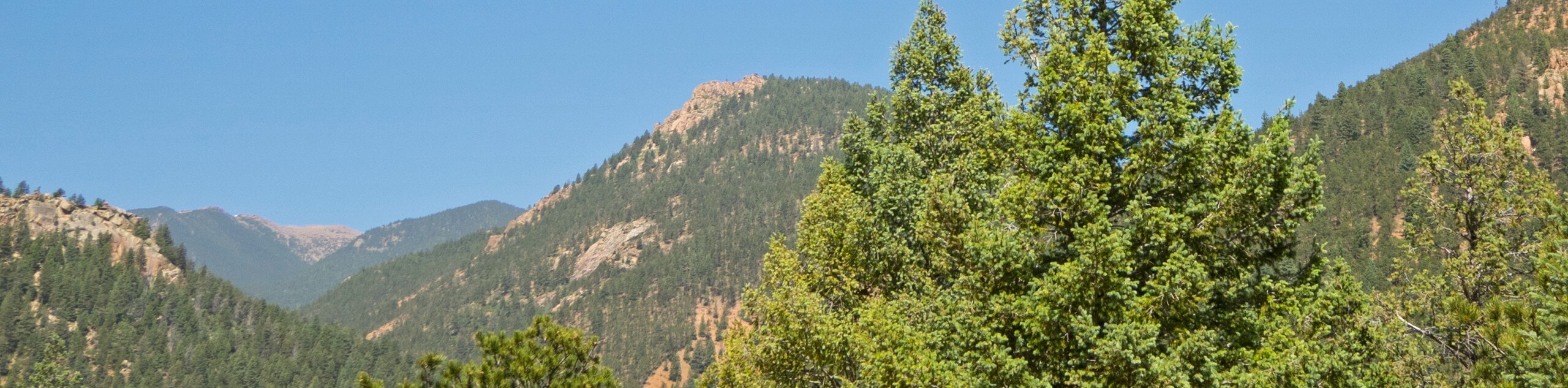
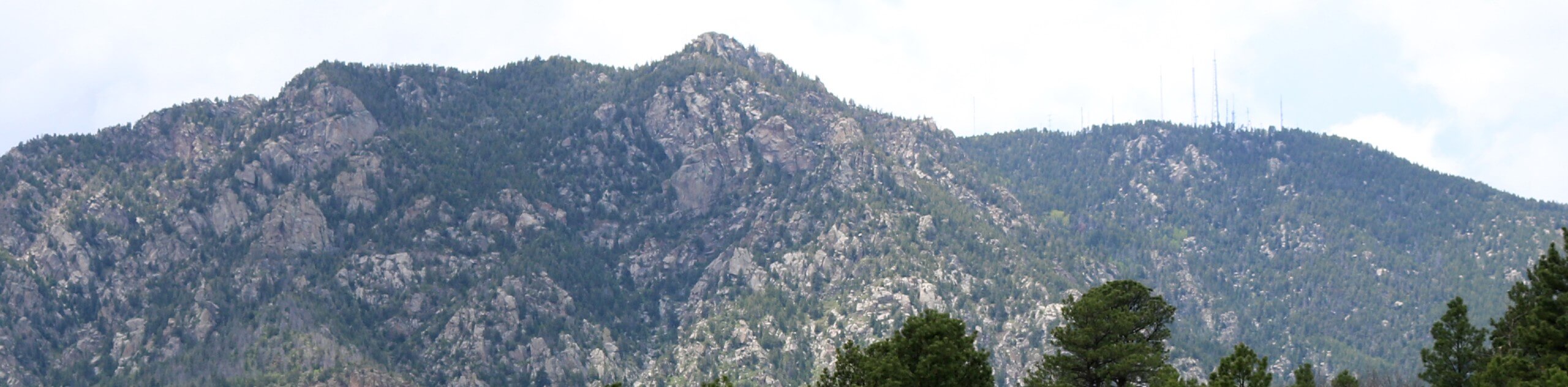
The Cheyenne Canyon to Mount Rosa Hike is a high-effort, high-reward type of adventure near Colorado Springs. This wonderful trek exhibits the beauty and variety of the Colorado wilderness as it begins from a creek canyon and culminates at the summit of Mount Rosa, which boasts awe-inspiring mountain views!
Getting there
The Cheyenne Canyon to Mount Rosa Hike departs from the Gold Camp Trailhead off Gold Camp Road.

About
| Backcountry Campground | No |
| When to do | Year-round |
| Pets allowed | Yes - On Leash |
| Family friendly | No |
| Route Signage | Average |
| Crowd Levels | Moderate |
| Route Type | Out and back |
Cheyenne Canyon to Mount Rosa Hike
Elevation Graph
Weather
Cheyenne Canyon to Mount Rosa Hike Description
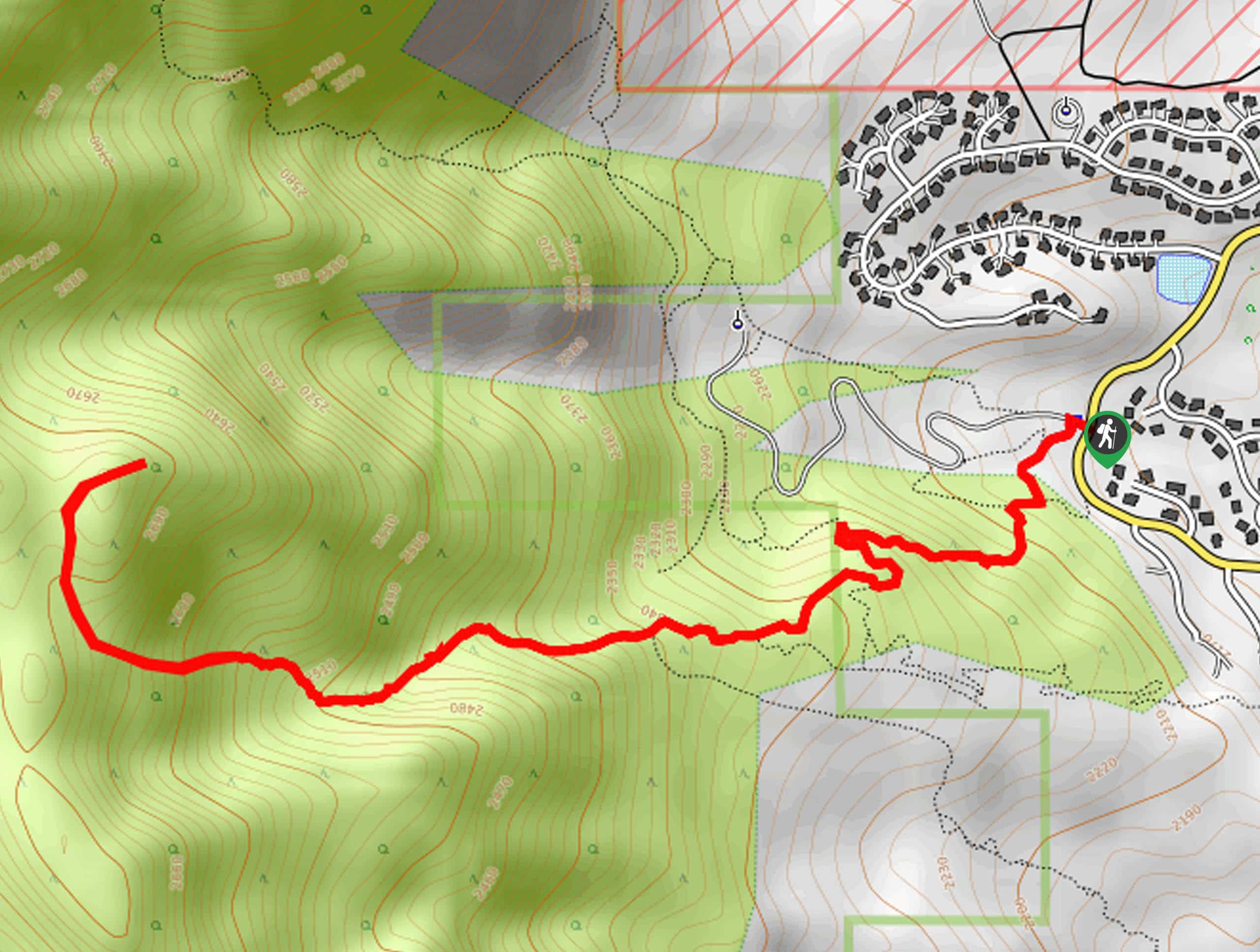
The Cheyenne Canyon to Mount Rosa Hike is a demanding adventure that reveals awesome scenery. Traveling through craggy bluffs, aspen glades, mixed pine forest, and up to a foothill summit. Make sure to pack plenty of water, as the length and technicality of the trek will undoubtedly tire you. Furthermore, we suggest wearing layers as the ever-changing terrain warrants ever-changing weather conditions! This trek also has many route changes and intersections, so consider bringing along the trail GPS.
Embark on your adventure along the Cheyenne Canyon to Mount Rosa Hike from the Gold Camp Trailhead. From here, follow the Gold Camp Road southwest through Cheyenne Canyon and up to an intersection. Here, keep left, and you will be diverted onto the Saint Marys Falls Trail through mixed pine woodlands. Eventually, you will reach the mesmerizing cascades—this is a great place to spot and rest before tackling the final climb! When you reach the trail’s end, track the Nelsons Trail west.
Soon you will encounter an intersection; veer left here onto the Mount Rosa Trail. Ascend the rocky terrain up to the summit of Mount Rosa. Enjoy the awe-inspiring views of the encompassing mountainous landscape. When you are done reveling in the alpine panoramas, begin your descent and retrace your footing along the path back to the trailhead.
Similar hikes to the Cheyenne Canyon to Mount Rosa Hike hike
Three Peaks Loop
Seeking an exciting adventure near Colorado Springs? If so, then we have the perfect hike for you—the Three Peaks Loop.…
Talon and Sundance Loop Trail
At the base of Cheyenne Mountain, you will find incredible hiking routes, including the Talon and Sundance Loop. This amazing…
Red Squirrel to Douglas Fir Trail
The Red Squirrel to Douglas Fir Trail is an awesome adventure located just a short drive north of the city.…
Comments