Carburn Pond Loop Trail
View Photos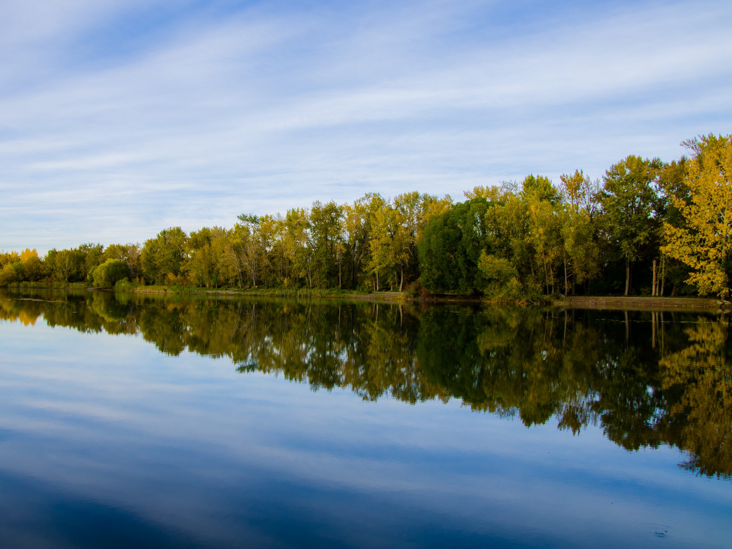
Carburn Pond Loop Trail
Difficulty Rating:
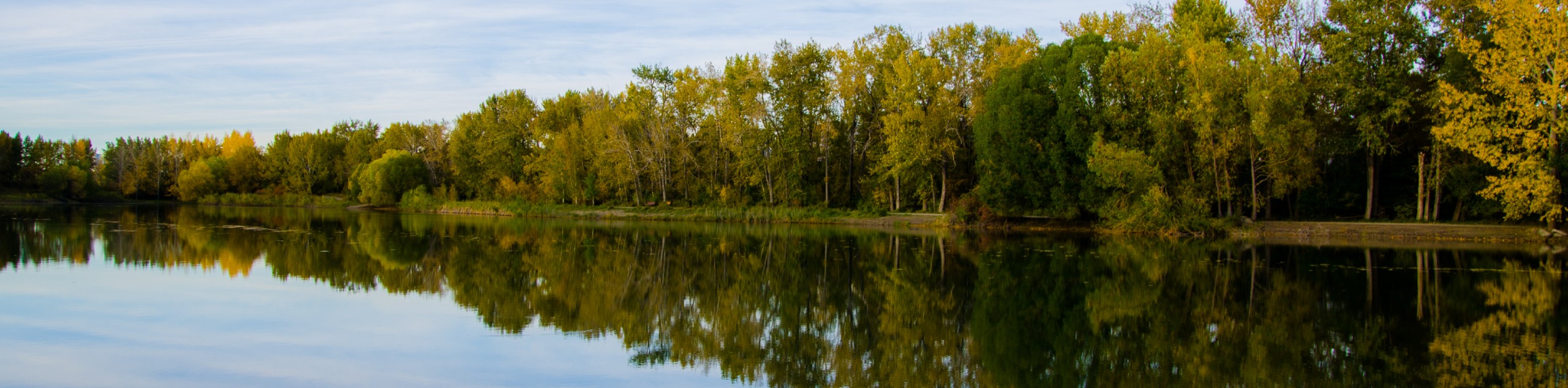
The Carburn Pond Loop Trail is a lollipop loop that has almost no elevation gain. It is perfect for families, folks with mobility restrictions, and those just looking for a nice stroll around some greenspace in the city. You’ll enjoy this serene trail that loops around the pond and stops at a viewpoint along the Bow River. The park has plenty of public facilities to make your outing as convenient as possible.
Getting there
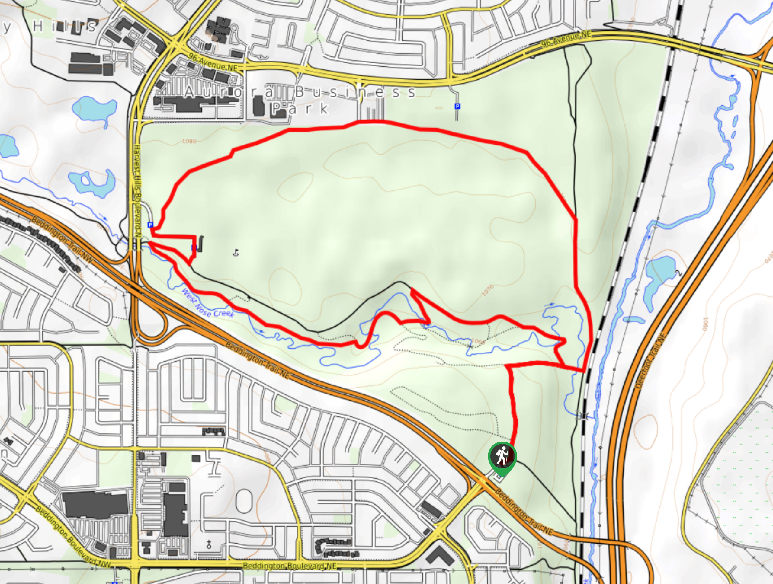
To get to Carburn Pond Loop Trail, find your way to Glenmore Trail E. Take the exit for 18 St E and follow this road until you reach Riverglen Drive SE. Turn right here. Turn left onto Riverview Dr SE and take your second right into the parking area for the park.

About
| When to do | March-October |
| Backcountry Campsites | No |
| Pets allowed | Yes - On Leash |
| Family friendly | Yes |
| Route Signage | Average |
| Crowd Levels | Moderate |
| Route Type | Lollipop |
Carburn Pond Loop Trail
Elevation Graph
Weather
Carburn Pond Trail Description
The Carburn Pond trail is located in Carburn Park in the Riverbend neighbourhood of Calgary. This trail is a simple and easy trail suitable for all abilities. It features excellent viewpoints and is sure to please children and keep them occupied along the way.
This trail is full of excellent viewpoints, and it can be shortened to suit your desired length. The Riverbend neighborhood is a great place to pick up some food or coffee for your stroll through the park. Bring some snacks and games to enjoy a half day at the Carburn Park.
The Carburn Pond Loop Trail begins in the main parking lot. Head to the northwest corner of the parking lot, following signs for the loop. Begin hiking on a smooth path that is wide and flat. After 1969ft, you will come to a 656ft out-and-back section that leads to an excellent viewpoint of the Bow River. This is highly recommended while completing this trail.
Hike 656ft from the junction after the lookout and find yourself at another junction. Trails to the right lead to a playground and the main park area. Stay left and follow the main trail between the pond and the Bow River. Follow this for 984ft before turning right at a junction and heading south, circling the pond back to the main parking area.
There are often birds and other small animals around the pond if you stop to watch for wildlife. The trail is easy to follow, well-signed, and perfect for all abilities.
Insider Hints
Pack a lunch to enjoy at the park with other activities.
Check out the playground if you are with children.
Similar hikes to the Carburn Pond Loop Trail hike
Nose Creek Park Loop
The short and easy Nose Creek Park Loop Trail is a good trail for families looking for fresh air. This…
Griffith Woods Perimeter Loop
Griffith Woods Park is located at the southwest edge of the city, making it feel like you have completely escaped.…
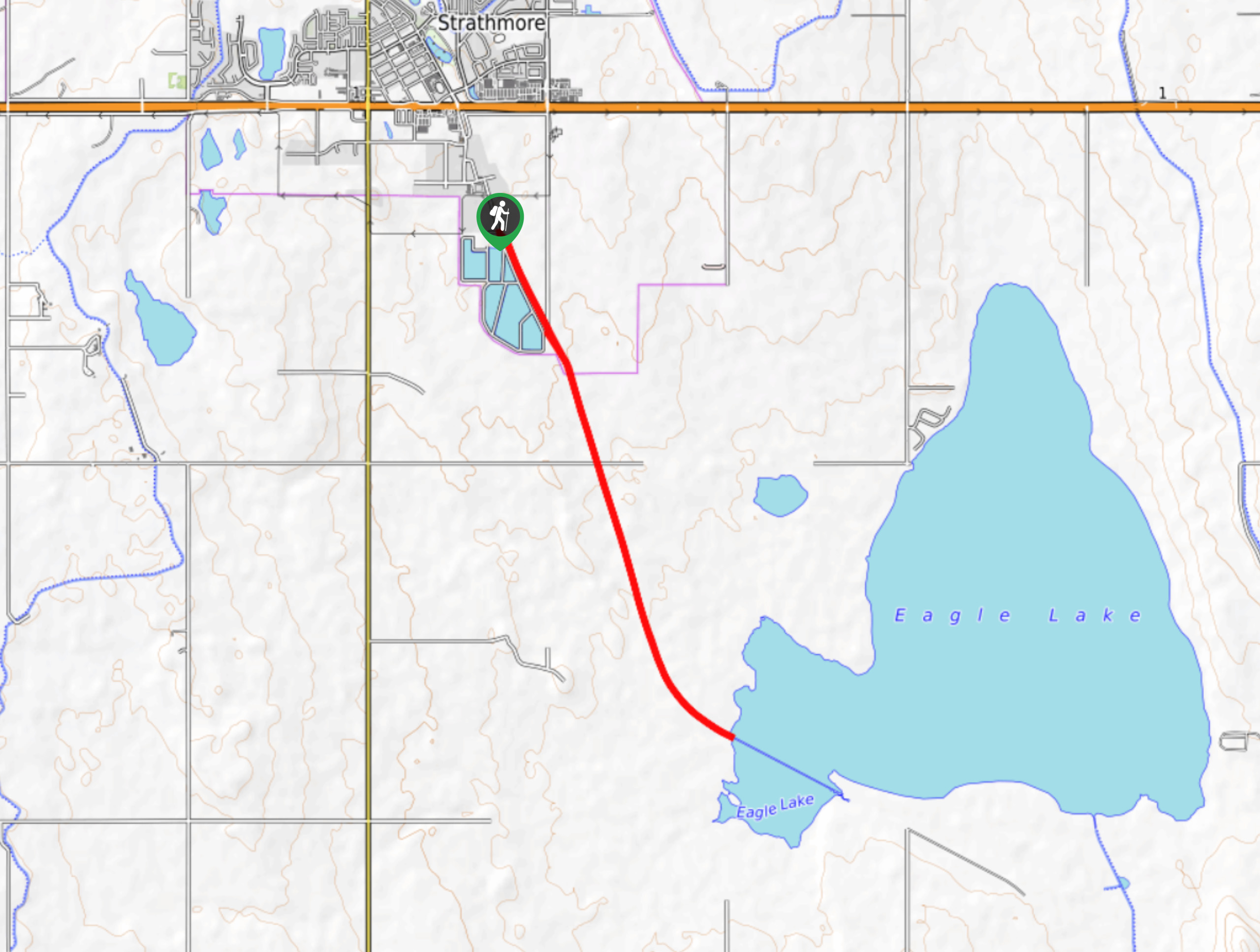
Eagle Lake Trail
The hike to Eagle Lake is a great flat and easy trail to a remote lake. Eagle Lake is just…
Comments